Search Results : Hampshire Hants

Feb 152020


First published in: The Times Click here to view a map for this walk in a new window
picture picture picture picture picture picture picture picture picture picture picture picture picture picture
Facebook Link:

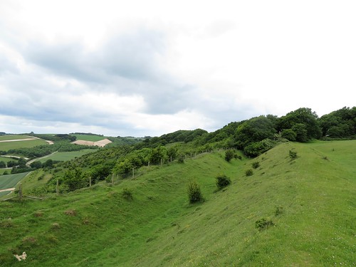
Keyhaven means ‘the harbour from which cows are shipped,’ and looking south from the little tidal port to the Isle of Wight you can see just how convenient it was for transporting boatloads of cattle across the Solent. The nearest point on Wight is less than a mile away, and the whole southern skyline is filled with the long, humpbacked loom of the island.

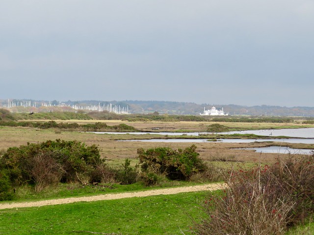
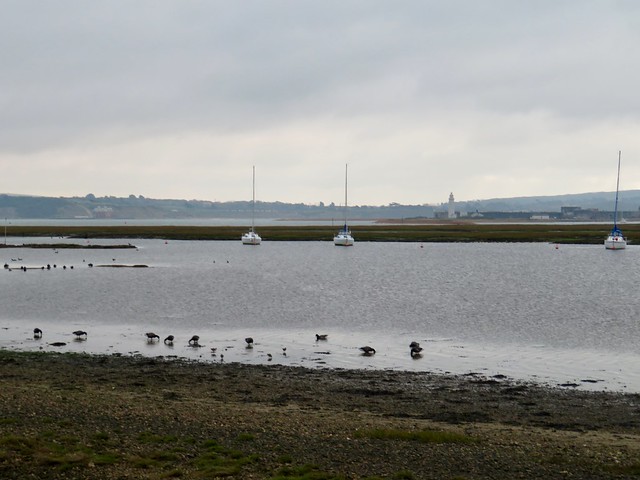
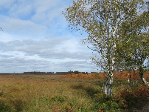
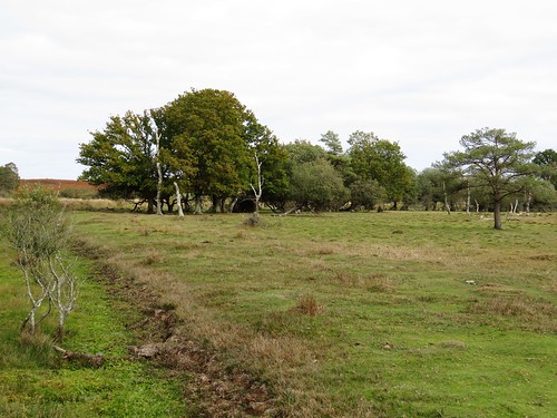
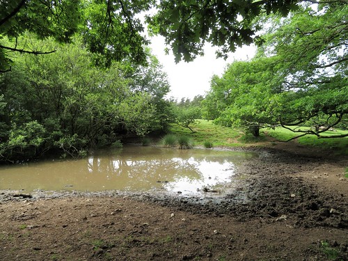
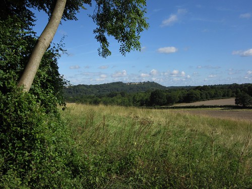
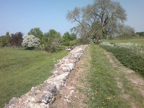
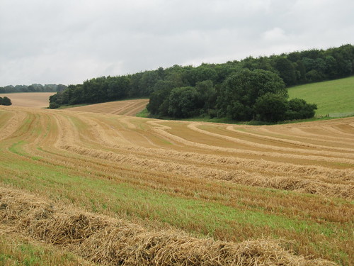
Keyhaven Marshes used to be salterns, or salt pans. There were oyster beds here, too. There’s still a flavour of former workings about this gravelly Hampshire shoreline with its black wooden stakes and marsh walls, though nowadays Keyhaven Marshes nature reserve is better known for the thousands of wildfowl and waders it hosts for feeding, breeding and winter roosting.

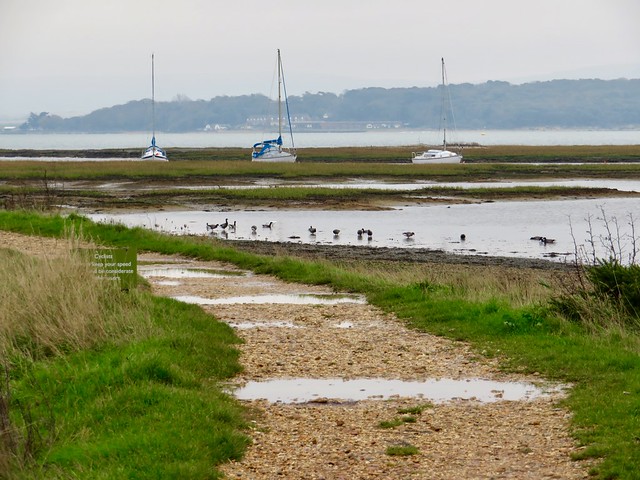
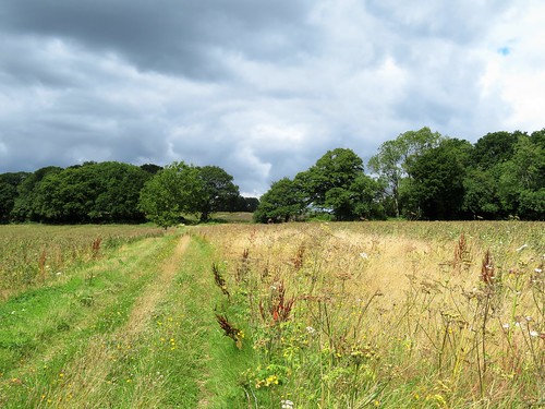
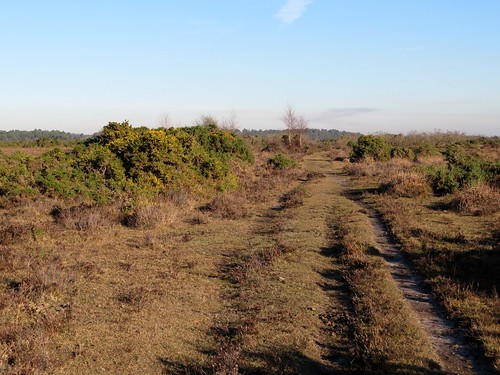
In a moody half light over land and sea I set off along the Brent Trail, a loop that took me east along the seawall. Something close to a hundred thousand birds see out the winter here. Today, dark-bellied brent geese creaked and grumbled as they fed along the tideline. Sandpipers and turnstones ran among them, light-footed scamperers in counterpoint to the heavy-legged plodding of the brents through the murky wavelets of the Solent.

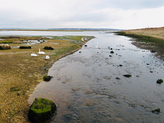
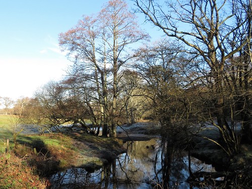
Softly gleaming creeks threaded their way seaward through broad mudbanks coated with brilliant green algae. A pair of egrets, white as ice, landed on the mud and went stalking after crustaceans on spindly black legs, as intent and sharp-eyed as any fox after a chicken.

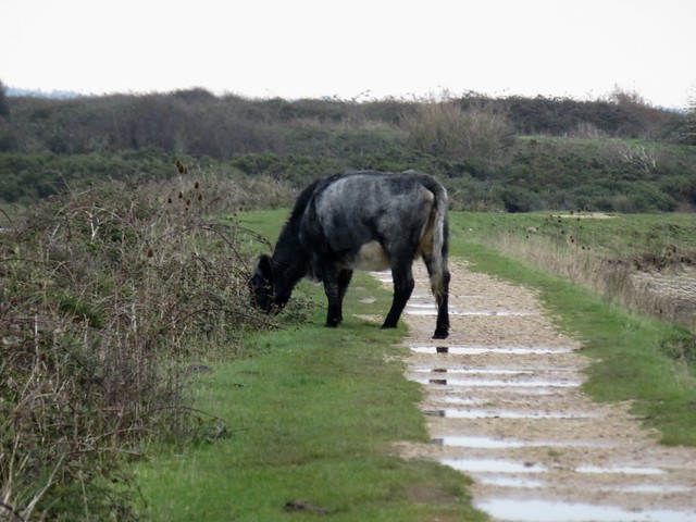
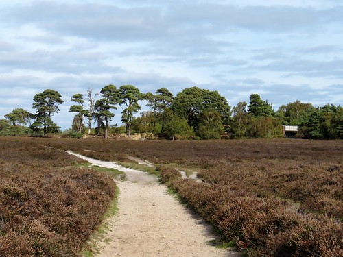
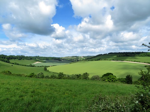
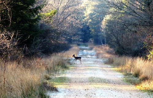
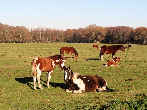
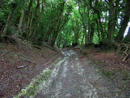
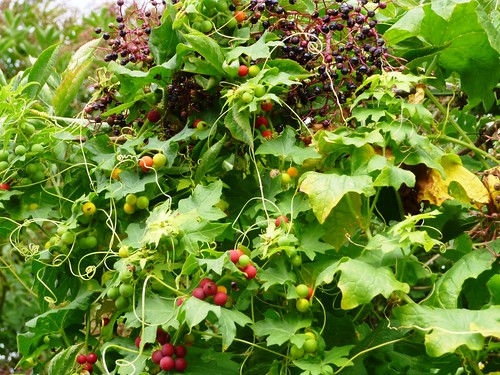
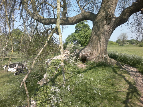
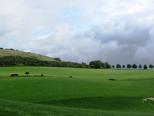
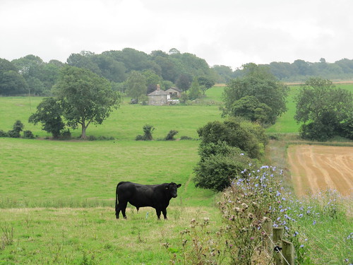
I turned inland between waterlogged marshes where shelduck made bold blobs of chestnut and white. Flocks of dark little teal went speeding across the grey sky. Shaggy cows grazed the bramble banks, and a pair of swans came in to land on the water with sawing noises and maximum hubbub.

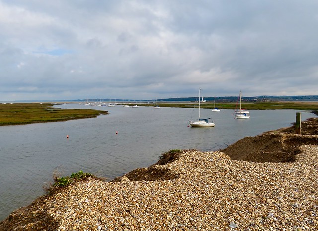
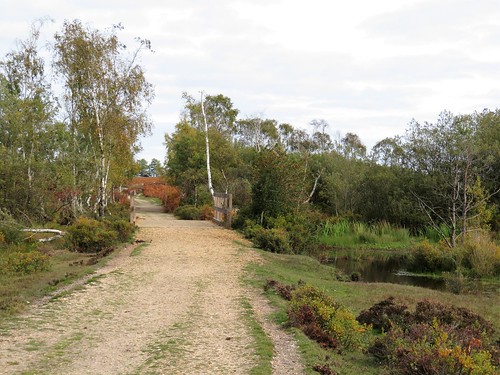
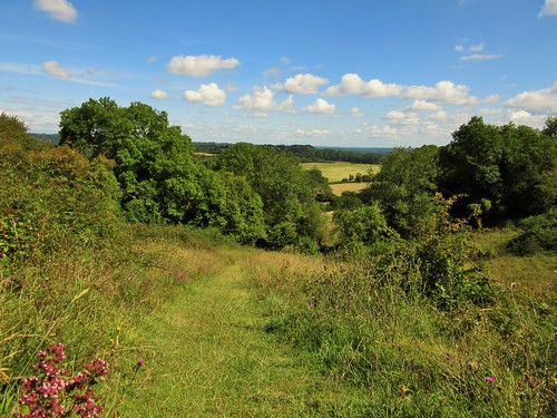
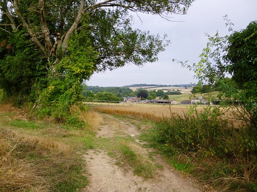
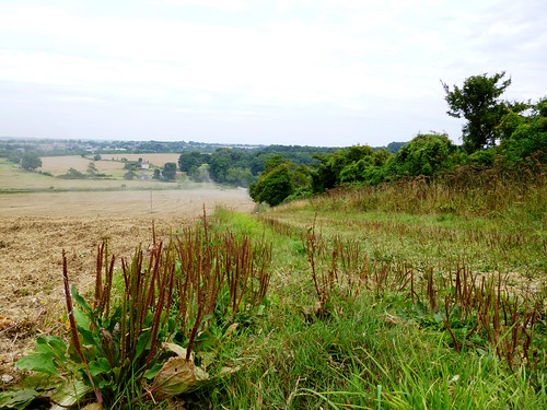
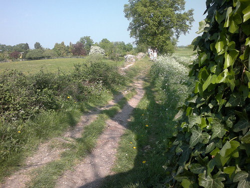
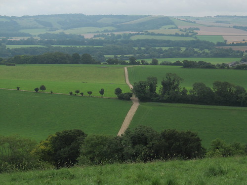
The return path led back to Keyhaven car park, then on west to where a great shingle spit turned south into the Solent. This was an utterly different world, with waves splashing on the seaward margin of the spit and a view across the windy Solent to the downs of the Isle of Wight, backlit by peach-coloured light over the unseen coast of France.

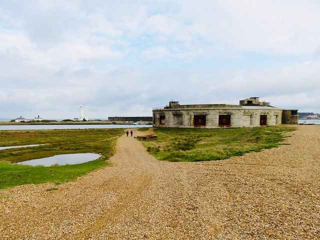
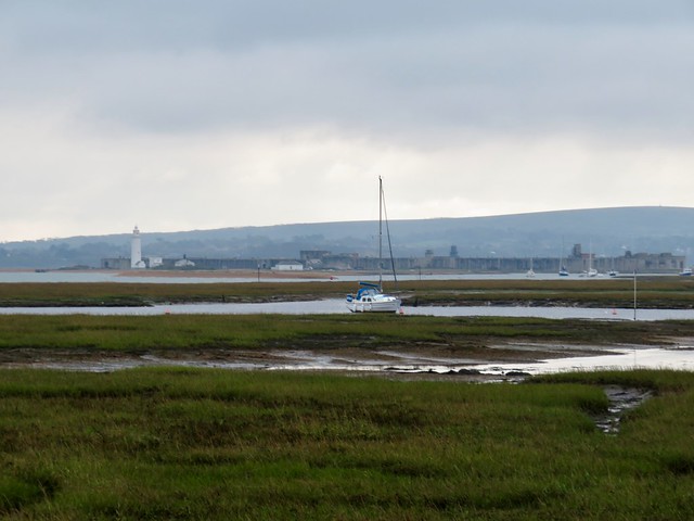
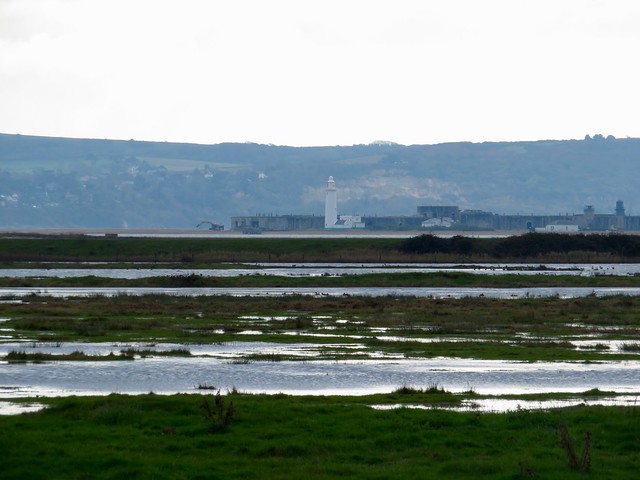
Out at the end of the spit lay Hurst Castle, an uncompromising block of a fortress. Built by King Henry VIII to ward off the French, reinforced in the 19th century against the threat of the same enemy, it squats like a grey, salt-streaked toad, looking across the Solent to the great blockhouse of Fort Albert on the Wight coast.

Crunching back towards the mainland I pictured King Charles I, pacing this shingle spit daily to while away his period of incarceration at Hurst Castle in the cold Christmastide of 1648. There would be no Icarus wings for poor Charles Stuart to escape upon. The beheading block awaited him in London, and he knelt there for execution before January was out.

Start: Keyhaven car park, near Lymington SO41 0TP (OS ref SZ 307915)

Getting there: Keyhaven is signed from B3058 in Milford-on-Sea (A337, Lymington-Christchurch)

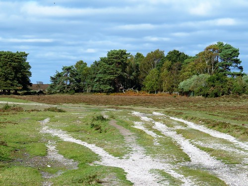
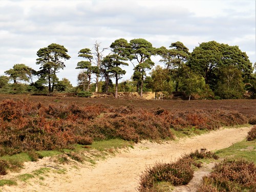
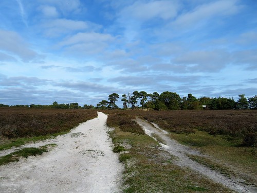
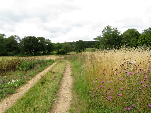
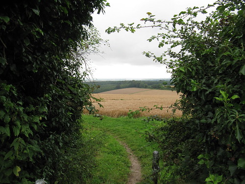
Walk (7¼ miles, easy, OS Explorer OL22): From car park, right across inlet; on far side, right through gates; follow Brent Trail (red arrows). In 1¾ miles, opposite jetty with red and yellow markers, left inland (325924); follow Brent Trail back to car park. Left along road (‘Hurst Castle Ferry’); footpath to sea wall (308913); right (‘Solent Way’) to spit (299908). Left to Hurst Castle, and return.

Lunch: Gun Inn, Keyhaven SO41 0TP (01590-642391)

Accommodation: Mayflower Inn, King’s Saltern Rd, Lymington SO41 3QD (01590-672160, themayflowerlymington.co.uk)

Info: Lymington TIC (01590-689000); visit-hampshire.co.uk; satmap.com; ramblers.org.uk

 Posted by at 01:27
Jan 122019


First published in: The Times Click here to view a map for this walk in a new window
picture picture picture picture picture picture picture picture picture picture picture
Facebook Link:

A crisp winter’s morning in the heart of the New Forest. A crowd of semi-wild ponies cropped a hoard of fallen crab apples with a snick and crunch of their strong teeth. We walked briskly north from Beaulieu Road station, then struck out west over a wide swathe of heather, the grey sky pressing down on the dark pines along the flat horizon.

Looking over the bridge rails of a gloopy stream at King’s Passage, we spied sprigs of bog myrtle. Plucked and rubbed between the fingers, they brought a spicy tang to the chilly air. All was as quiet as could be on this still wintry day, with only the clickety calls of stonechats and occasional snort of a pony for a soundtrack. Other walkers with scampering dogs passed on diverging tracks, without disturbing the illusion of solitude and silence so characteristic of the New Forest’s back country.

The lush grasslands of Longwater Lawn border the winding Beaulieu River, their herbage enriched by silt from winter floods. Five pones stood by the footbridge with an air of contemplating profundities. Their presence beside the slow flowing stream through the grassland would have graced the most delicate of Chinese silk paintings.

A wriggling track of pale flinty gravel is all that’s left of the ancient Salt Way, by which the precious commodity was brought inland on pack ponies from the salt pans on the Hampshire coast. The old track led on to the second half of this walk of contrasts, a network of forest rides among the trees of Denny Inclosure – ancient oaks, tall pines as straight as guardsmen, and beeches with enormously elongated limbs.

A glimpse of red-tiled Denny Lodge, once the residence of Groom Keeper and Head Forester, and we took the homeward path among bracken fronds so richly gold that we were tempted to stuff our pockets with them.

Start: Beaulieu Road Station, near Lyndhurst SO42 7YQ (OS ref SU 349063)

Getting there: Rail to Beaulieu Road station.
Road – M27 Jct 1, A337 to Lyndhurst, B3056 (‘Beaulieu’) to Shatterford car park, just before station.

Walk (8 miles; easy underfoot, but no waymarks; OS Explorer OL 22):
Rail – Platform 1, up steps, left along road; Platform 2, up steps, left across bridge. Opposite Shatterford car park, right.
Road: cross B3056.
Then: Follow gravel track north beside railway. In 300m, pass bridge on right (348067); in another 400m, fork left in dip (347071). In 50m, fork right; keep parallel with railway. In 500m, with Fulliford Passage bridge on right (345076), left along grass path. In 350m, right to cross King’s Passage bridge (342076). At 3-way fork beyond, take middle path ahead across grassland. In ½ mile, cross ridge (336084); aim to cross footbridge among trees (334086) and keep ahead.

In 300m, path bends right towards wooden fence (333088). Left here (west) on grassy, then gravel track, heading for distant Lyndhurst Church spire. In ¼ mile cross a track (329088); ahead for 500m to cross footbridge over Beaulieu River (323087). Ahead through line of trees; left (southwest) along track. Keep to left of line of trees, then aim for distant Lime Wood Hotel. In nearly 1 mile cross B3056 (317075); follow ‘Pondhead Farm’. In 350m, pass farm sheds/barns on left (318072); aim past telephone pole to cross footbridge (317070). Fork left on path into trees; bear left for 30m, then right to gate into wood (319067).

Ahead along forest ride. In 500m, left at T-junction on gravel track (324065); in 30m, right along grassy ride for ½ mile, across Little Holm Hill to go through gate (330060). Right to cycle track; left to barrier (334059); right (‘Access to Private Properties’). In 250m, at ‘Upper holding’ notice, fork left. Pass Denny Lodge on right; in 80m, just before Denny Cottage on left, turn left (334055) on woodland path with fence on right, then on in same southeast direction.

In 300m, leave trees; ahead across bridge (336053); fork left and ahead for 400m across next 2 bridges. After 2nd of these (340051), ahead and bear left on gravel path, then grass through trees. In 350m look for hollow on right beside path (344050); at cross tracks beyond with gate to right, go left. Cross bridge at Woodfidley Passage (346051); ahead, soon bearing north parallel with railway to return to car park/station.

NB: No waymarks – map, compass, Satmap very helpful!

Lunch: Drift Inn, Beaulieu Road station (02380-292342, thedrift.newforesthotels.co.uk)

Accommodation: Beaulieu Hotel, Beaulieu Road station SO42 7YQ
(0800-444441, newforesthotels.co.uk)

Info: New Forest Centre, Lyndhurst (023-8028-3444)
visitengland.com; satmap.com; ramblers.org.uk

 Posted by at 01:32
Nov 102018


First published in: The Times Click here to view a map for this walk in a new window
picture picture picture picture picture picture picture picture
Facebook Link:

For this Armistice centenary weekend, a walk of three lives to be remembered. The first two are intertwined – Hal Willoughby Sandham (1876-1920, an unsung Great War soldier, and the artist Stanley Spenser (1891-1951), whose murals in the Sandham Memorial Chapel near Newbury rank with his very finest work. The third life is that of Brenda Parker (1939-2008), Hampshire countryside campaigner, walker, wildlife enthusiast and maintainer of footpaths, a local hero unsung by the world at large. It was the countryside trail named in her honour, the Brenda Parker Way, that we followed out of Burghclere down a disused railway, a tunnel of trees and brambles with glimpses ahead of the long high spine of Watership Down.

Under a bridge festooned with trailers of ivy like jungle creepers, then up out of the ‘lost world’ of the abandoned railway cutting and off through arable fields on flinty tracks and green bridleways. Monster oaks with twenty-foot girths stood in the hedges like guardian giants, their twigs sprouting round brown galls.

A piercing silvery light smeared the sky over the downs. At Woodside Farm two ginger horses were having a tremendous game in their field, whinnying and snorting and dashing up and down with a great drumming of hooves. We heard their joyful neighing as we followed the Brenda Parker Way across the beanfields and along the old driftway called Ox Drove, back to Burghclere and the Sandham Memorial Chapel.

John and Mary Behrend of Burghclere were dedicated patrons of the arts. Mary’s brother Hal saw active service in Salonika during the Great War, and when he died of malaria in 1920 the Behrends had the chapel built in his memory and asked Stanley Spenser – a fellow Salonika veteran – to paint its interior in acknowledgement of all anonymous soldiers.

Here are men in camp hauling great tureens of blood-red soup. A kit inspection, with items laid out like body parts. Soldiers dressing themselves under shroud-like malaria nets. Exhausted men asleep around a mounted officer. And a tiny, distant Christ overwhelmed in a maze of white battlefield crosses.

Spenser’s genius was to discover spiritual glory in humble things and people, and he found its supreme expression in this remarkable memorial to the unregarded soldier.

Start: Sandham Memorial Chapel car park, Burghclere, Hants RG20 9JT (OS ref SU464608)

Getting there: Bus 7A from Newbury
Road – Sandham Memorial Chapel signposted off A34, 5 miles south of Newbury (M4, Jct 13)

Walk (6½ miles, easy, OS Explorers 158, 144): Right along road; first right (Spring Lane); in 400m, right (467605, ‘Brenda Parker Way’/BPW). Left along old railway for nearly 1 mile. Under bridge (473593); right up slope (BPW); right across railway to road (476593). Left; right (‘Ecchinswell’); beside next junction, left (‘Bridleway’). Follow blue arrows/BAs for ½ mile to junction (481598); left (BAs) up Earlstone Manor drive. At top of pond on right, bear right (fingerpost) along pond edge. Leave trees (481599); left along field path (yellow arrows) for ¾ mile to road beyond Woodside Farm (491604). Left; in 600m, left (493610, BPW) across fields for 1 mile. At Palmer’s Hill House (478612), follow drive past house on left, then on for 400m to road (475614). Right; in 600m, opposite Lakeview House gate, left (478619, fingerpost), descending through trees. At bottom, left (477620), following Ox Drove for just over 1 mile, crossing road at 473619, to junction by old railway (463610). Left to road; right to car park.

Lunch/Accommodation: Carpenter’s Arms, Burghclere RG20 9JY (01635-278251, carpentersarms-burghclere.co.uk)

Sandham Memorial Chapel: Open Fri, Sat, Sun (01635-278394, nationaltrust.org.uk/sandhamchapel-memorial-chapel); satmap.com; ramblers.org.uk

 Posted by at 01:09
Jun 092018


First published in: The Times Click here to view a map for this walk in a new window
picture picture picture picture picture picture picture picture picture picture picture picture
Facebook Link:

The thatched and red-tiled roofs of Vernham Dean lie low in a billowing landscape of green and white, the slopes of the cornfields, pastures and copses chequerboarded with chalky patches of clay soil newly ploughed for seeding with pheasant-friendly plants.

We were heading up and away onto the roof of this hidden corner of the Hampshire/Wiltshire border. If it weren’t such a dreadful cliché, ‘best-kept secret’ would fit this secluded notch of countryside very well. The chalk is cut by dry valleys that swing and curve as though modelled by a sculptor. You rarely see anyone along the flinty old tracks crisscrossing the downs, or on the paths that plunge down slopes too steep ever to have been touched by arable farming.

At the rim of Conholt Hill we paused to look down along the sinuous valley that leads to lonely Hippenscombe Farm. Then we descended the narrow path into Conholt Bottom down a slope spattered with yellow rattle, horseshoe vetch, fat seedheads of cowslip, and the pink busby-shaped flowers of common spotted orchid.

During the ‘Swing Riots’ of 1830, a mob of three hundred poverty-stricken farm labourers, hungry and angry, marched to Hippenscombe Farm on 22 November. They were intent on smashing Farmer Fulbrook’s thrashing machine, one of the new labour-saving agricultural inventions that were putting such men out of work. Twenty of them broke into the barricaded house, and someone stole a tea caddy and a tablecloth.

When they were caught, the ringleaders were sentenced to transportation for life to New South Wales. They were lucky to escape with their necks intact, and some of them made good Down Under, once their crimes had been expiated.

From Hippenscombe and its hoarsely barking dogs we climbed again to the hilltops where the folded landscape wheeled off in green clefts to all quarters. On Fosbury Camp hill fort we saw no-one as we circled round the great Neolithic enclosure inside its Iron Age ramparts. Bumble bees investigated the velvety purple heads of musk thistle, and a kestrel hung dark and intent, head down in the wind.

We passed a giant old beech tree clamped by bulbous roots to the ramparts, and went bowling downhill toward the roofs of Vernham Dean, huddled under a racing grey sky in their hollow under the steep green downs.

Start: George Inn, Vernham Dean, near Andover, Hants SP11 0JY (OS ref SU 341566)

Getting there: A343 north from Andover; at Hurstbourne Tarrant, left to Ibthorpe, Upton and Vernham Dean.

Walk (6¼ miles, field paths, OS Explorer 131): From George Inn, right along road. In 200m, left (fingerpost) up flinty lane. In 150m, right (339564, ‘footpath’) up edge of Boats Copse. In ½ mile at top of slope, right (331558, ‘footpath’) into trees. Follow arrows through trees, out onto hillside; up hedge for 400m to road (327554).

Right; in 100m sharp right; in 100m, left (stile), slanting down hillside to valley bottom (321558). Left along road for ¾ mile to Hippenscombe Farm. Through road gate (311561); in 20m, right by cottage on farmyard road between barns. In 150m fork right beside last shed (breeze block) on flint track. In 100m keep ahead (ignore left fork). In 750m, at crossing at top of slope (309569), right on flint track to Fosbury Farm (314571).

Cross drive in front of gates; onward into woods for 800m to stile onto Knolls Down (320566). Bear right to trees; left (anticlockwise) round ramparts of Fosbury Camp hill fort. Just past giant beech tree, right at rampart gap (322565, pond on left) down field slope with trees on left for ⅔ mile to road at Woodside Cottages (332565). Right; in 30m, left (‘footpath’, kissing gate). At far end of field (kissing gate), right along road. In 300m, at entrance to Vernham Dean, fork left (338566) to George Inn.

Lunch: George Inn, Vernham Dean (01264-737279, thegeorgeatvernhamdean.co.uk) – excellent, unpretentious village pub.

Accommodation: Hatchet Inn, Lower Chute SP11 9DX (01264-730229, thehatchetinn.com) – 4 miles

Info: visitengland.com; satmap.com; ramblers.org.uk
Thanks to Henry Salmon for finding this walk for us!

 Posted by at 00:31
Feb 182017


First published in: The Times Click here to view a map for this walk in a new window
picture picture picture picture picture picture picture picture picture picture picture picture picture picture picture
Facebook Link:

Blue sky overhead, and a hard frost gripping the trees and paths of the New Forest. We crunched the frozen lanes away from Brockenhurst, blowing on our fingers and shattering milky panes of ice in the puddles underfoot. Two forest ponies stood under the trees, their breath shooting in smoky columns from their nostrils. Every blade of the grasses they were champing glinted as though made of glass.

Big oak trees stood solo in the broad acres of Brockenhurst Park. When Edward Morant bought the estate in the 1770s with money from his Jamaican sugar plantations, he created an instant park by having all the field margins grubbed out, leaving only the well-grown hedge oaks to look like parkland specimens. Today the old oaks sheltered roe deer, half hidden in the sun dazzle, their presence betrayed by the flicking vees of their upstanding ears.

Beech leaves fringed with delicate frost lace gave out a peppery smell as our boots crushed them. We turned east beside handsome old Roydon Manor, walking under beech and oak whose fissured bark concealed hibernating insects – not well hidden enough, though, to escape the probing, down-curved beak of a treecreeper as it scuttled up an oak trunk, picking and swallowing.

Lapwings dug for worms in the fields around Dilton Farm as the sun softened the frozen ground. Beyond the farmyard lay the broad expanse of Beaulieu Heath, a great waste of gorse and heather where a rutted track led us past a herd of semi-wild ponies and out across the moor.

Somewhere under the scrub lay the runways of Beaulieu aerodrome, where young pioneers dared the skies in box-kite craft before the First World War. Now the old airfield lay as obscure as the Bronze Age burial mounds of the heath under a camouflage of bracken and gorse.

A cycle path crossed our track, and we followed it up to Lodge Heath where a cow had broken the skin of ice on the pond and was sipping the freezing cold water. We skimmed a stone across the ice for luck, and followed the tangled cycle paths back towards Brockenhurst through a forest stained brilliant orange by a wintry sun dipping towards the western skyline.

Start: Brockenhurst station, Hants SO42 7TW (OS ref SU 301020)

Getting there: Train to Brockenhurst.
Road – Brockenhurst is on A337 between Lyndhurst and Lymington.

Walk (8¾ miles, easy, OS Explorer OL22): Beside level crossing, turn into Mill Lane. On left bend, go right by Mulberry Cottage along lane. At St Nicholas’s Church, left (306017). In 200m, left opposite old stables (306015, ‘Bridleway’) for 1 mile. Opposite Roydon Manor, left through gates (316002, blue arrow) for 1 mile to Dilton Farm. Opposite first barn on left, turn right (331008, ‘bridleway’) on fenced path. Left round barn end; on through gate; head east (blue arrows) for 400m to gate onto heath (336008).

Right for 200m; angle back sharp left (335006) on grassy track at edge of gorse, heading NE across heath for ¾ mile to meet cycle path (344012). Left for ½ mile to Hedge Corner (338018). Through barrier; left along cycleway (signed). In 500m, right (332017) up roadway; at pond, left (333020) past info boards, along roadway to cross B3055 (329025). Ahead for ½ mile to pass New Copse Cottage (328033), then across railway (327034).

In 400m, left at crossroads (326037, cycleway ‘305’). In ⅔ mile, opposite Victoria Tilery Cottage (317035), ahead (‘306’) through gate. Left to car park (315036); left (‘291’, then ‘292’) on cycleway for 900m to B3055 (307032). Ahead to A337 (303032); left along pavement for ⅔ mile to Brockenhurst Station.

Lunch/Accommodation: Pig Hotel, Brockenhurst SO42 7QL (01590-622354, thepighotel.com) – quirky, stylish, fun

New Forest Visitor Information Centre – 02380-282269
visitengland.com; satmap.com; ramblers.org.uk

The January Man – A Year of Walking Britain by Christopher Somerville (Doubleday, £14.99). For 30% off, call 01206 255 777, quoting TIMES302017.

 Posted by at 01:13
Sep 032016


First published in: The Times Click here to view a map for this walk in a new window
picture picture picture picture picture picture picture picture picture picture
Facebook Link:

On this bright windy day the view from the triangulation pillar on Butser Hill was at its very best – the South Downs billowing east and west, Portsmouth and Southampton sprawled far in the south, while out to sea the matt blue bar of the Isle of Wight stretched along the horizon. To the north-east the great hollow of the Devil’s Punchbowl took a bite out of the shoulder of the Surrey Hills.

Dog walkers trotted by, one couple watching their six sheepdogs fan out across the grass. The hilltop was bright with golden bird’s-foot trefoil, sky-blue harebells, bright yellow heads of wild parsnip, and tall plants of marjoram whose flowerheads we crushed between our fingers to savour their pungent smell.

This southwest corner of Hampshire is a tangle of quiet lanes. At the foot of the hill we followed a white chalk holloway, the breathy roar of a harvester percolating through the trees from the cornfields beyond. Oxenbourne Lane was spattered with fallen hazelnuts, their flesh pale green and milky. The scarlet berry clusters of lords-and-ladies grew along Cumber’s Lane, a favourite with off-road drivers. A temporary ban on their activities had resulted in the smoothing out of boggy tyre ruts and a thickening of greenery along the smashed-up verges.

The bald head of Butser Hill loomed on the eastern skyline as we crossed the infant River Meon, dried to nothing in a pebbly bed. Lower Farm and South Farm lay silent, all thatched sheds, flint walls and Dutch barns packed with round straw bales. We passed a run of olive brown ponds, the source of the Meon, and leaned on the bridge to savour twin smells – the tang of mint flourishing in the trickling water, and the sweet aroma of jam in the making that wafted seductively from the open windows of Springhole Cottage.

A flinty track shaded by a magnificent avenue of beech trees brought us south to Tegdown Bottom, where sheep and lambs were crying to one another. At the crest the South Downs Way made east for Butser Hill. The broad old track flickered with the shadows of low-flying swallows fuelling up for their long flight south to Africa – a tiny frisson from the oncoming autumn.
Start: Butser Hill car park, near Clanfield, Hants GU31 5SP (OS ref SU 712201)

Getting there: Butser Hill is signed from A3 between Horndean and Petersfield.

Walk (6¾ miles, easy, field paths and lanes; OS Explorer 120. Detailed directions are downloadable with online maps, more walks at christophersomerville.co.uk). Pass kiosk hut; through metal gate; follow grass path past radio station to pass trig pillar at summit of Butser Hill (717203). Keep ahead down far slope till you meet wide grass track; left along it (717204; occasional red-topped marker posts), through gate and on, keeping fence close below you. In ¼ mile pass a group of tumuli (714208); go through a belt of scrub and begin descending a ridge. Halfway down fork right, aiming for distant church spire. At foot of slope, into trees; in 50m fork left downhill to kissing gate at bottom (706212). Right along chalk holloway lane to Oxenbourne Lane (706217).

Left along lane; in 200m, right; in 175m, left along trackway. In ½ mile, at junction of six lanes in a grassy circle, turn left (696220) along Cumber’s Lane to cross road (696214). Take lane opposite past Fishpond Cottages to road (694211). Right for ⅔ mile past Parsonage Farm to T-junction; left (685210, ‘Clanfield, Horndean’) past Lower Farm. In 250m, left over stile (fingerpost); across paddock, through gate (yellow arrow/YA); left up South Farm drive. Bear right through farmyard and on along lane to cross bridge over ponds (685205; source of River Meon). Follow drive to Upper Barnes (685196); on up green track (YA, fingerpost) for ½ mile to meet South Downs Way/SDW (693190). Left on SDW to road (706191); left to car park.

Lunch: Rising Sun PH, North Lane, Clanfield, PO8 0RN (023-9259-6975, therisingsunclanfield.co.uk)

Accommodation: Upper Parsonage Farm, Harvesting Lane, East Meon, Petersfield GU32 1QR (01730-823490, upperparsonagefarm.co.uk)

Info: Petersfield TIC (01730-268829)

www.visitengland.com; satmap.com; ramblers.org.uk

 Posted by at 01:40
Sep 122015


First published in: The Times Click here to view a map for this walk in a new window
picture picture picture picture picture picture picture picture
Facebook Link:

A sunny morning, windy along the south coast, still and warm here in the Hawkley valley under the great hangers of East Hampshire. Those hangers – steep-sided slopes of chalk and greensand covered in thick woodland – have enchanted poets and artists, writers and walkers since people first began to look on the landscape as something wonderful and uplifting, rather than as an adversary to be wrestled with and overcome.

The sun cast long black shadows from the woods clinging to the scarp of Hawkley Hanger. Raspberries and blackberries hung in the margins of the field paths we walked, along with ropes of heart-shaped bryony leaves, and umbellifer heads full of seed ready to be scattered at the brush of a hare’s flanks or a walker’s trouser leg. Hollow old Standfast Lane snaked deeply sunk in the greensand, overhung with coppiced hazel sprays and floored with flinty cobbles of malmstone. Hazelnuts had already fallen and lay scattered along the laneways and the road through Empshott Green where we picked up the long-distance Hangers Way.

The Way wound southward through the skirts of Hawkley Hanger. We walked in and out of shadows and sunsplashes, the deep pink shade of a grove of old yews, a translucent green window of beech leaves giving a glimpse of the tower of Hawkley church with its cap like a jousting helmet rising from trees. We turned through the outskirts of the village into a tangle of greenery around the multiple threads of the Oakshott Stream, then a stony lane that climbed steeply up from Middle Oakshott. A cherry plum tree overhung the path; we scooped up a few of the plump wine-coloured windfalls and sucked the sweet flesh from the bitter skins as we went on steadily up to the crest of the hanger at the Shoulder of Mutton.

Edward Thomas, early 20th-century poet and mighty walker, lived in Steep village at the foot of the Shoulder of Mutton. These were the views he loved – south over Steep to the rising country beyond, north to Hawkley’s church and houses in a slanting patchwork of corn and pasture, woods and hanger slopes. We stared our fill, then went slipping and sliding down an ancient flinty holloway on the homeward stretch to Hawkley.
Start: Hawkley Inn, near Petersfield, Hants GU33 6NE (OS ref SU 747291)

Getting there:
A3 (Petersfield-Haslemere); B3006 to Liss; Hawkley is signed from Spread Eagle PH in West Liss.

Walk (8½ miles, moderate, OS Explorer 133): Leaving Hawkley Inn, left (east) up road. Across T-junction (749291) on fenced footpath (yellow arrow/YA). Left at lane (752294) past Uplands Farm; at next left bend, right (750295, Bridleway fingerpost, anticlockwise round field edge. In far right corner (751299, fingerpost) right down lane. At Mabbotts house (752300), take middle of 3 tracks (‘Byway’). In 600m, leave trees and follow field edge; in 100m, left (755305, kissing gate), and fork right on path along bottom edge of wood. In 450m, just after crossing stile and before reaching a house (750306), YA on telegraph pole points right over stile, across footbridge and up to Mill Lane (750307).

Right; in 100m, left up sunken wooded lane to road at Quarry House (746310). Left; in 300m on right bend, left over stile (743310; ‘Hangers Way’/HW). Follow HW across fields; at lane, left (740308); past Vann House and pond, right (stile, HW) up hedge. Anti-clockwise round 2nd field; on south (738302, HW) in tunnel of trees. In 1 mile, left out of trees (741290, HW) along field edge into Hawkley.

Left at road (745290); fork right at village green; right again along Cheesecombe Farm Lane (HW). In 200m, fork right up ramp (746288, HW, ‘Steep’). Fork left by gate (HW). In 200m, cross stile (747286); bear right (HW fingerpost by fence on left, 30m down) round slope of field, keeping lower edge of wood on right. In 200m, right across stile (746285); follow path round to left (HW) and on. Cross Oakshott Stream by footbridges (742283, HW). At Middle Oakshott cross road (741279, HW) and on up stony lane. In 150m, left over stile by house (740277, HW); follow path, steeply up through Access Land (740275); over stile, through wood and on up to wood at crest (739271).

Right along Old Litten Lane (HW); in 150m, left (738270, ‘Shoulder of Mutton’) to bench and viewpoint. Return to Ashford Hangers NNR notice; right along woodland path. In 150m, just before wooden barrier, fork left (740270) and follow red horseshoe waymarks up to Old Litten Lane (742272) Left for 100m; just beyond ‘car and motorcycle’ sign, right (741272) down stony lane for ⅔ mile. At road (745278), ahead; in 100m, left along stony lane for 1 mile back to Hawkley.

Conditions: Some steep slopes; holloways can be sticky and slippery after rain.

Refreshments/Accommodation: Hawkley Inn (01730-827205; hawkleyinn.co.uk) – a lovely welcoming country pub; great beer choice!

Info: Petersfield TIC (01730-268829); visit-hampshire.co.uk
satmap.com; ramblers.org.uk;

 Posted by at 01:54
Aug 092014
 

A warm, muggy Hampshire afternoon, and harvest time in the downland fields around Tichborne.
First published in: The Times Click here to view a map for this walk in a new window
picture picture picture picture picture picture picture picture
Facebook Link:
Red and yellow monsters roared in the chalky fields, gobbling corn and peas off the stalks, vomiting the precious grains and globules into trailers and breathing out a musk of dust-clouds that drifted across the hedges. Bales of straw were excreted, ready-wrapped and stacked; the trailers rumbled through rutted gateways onto the lanes and jolted away to the silos, while the monsters swung round and attacked another strip of land.

In the lane we followed out of Tichborne and down to the Itchen valley, docks and nettle flowers hung sun-dried to a crisp. Bees busied themselves among sky-blue scabious flowers and sprigs of sharp-scented marjoram. The sun hid behind leaden milky clouds that leached the contrast out of the landscape colours, reducing all to pale ochres and olives. We turned south through Tichborne Park, a field away from the subdividing and reconnecting channels of the infant River Itchen, and came to the gates of Tichborne House, seat of the estate that once engendered a classic cause célèbre.

In the north chapel of Tichborne’s church lie generations of the Tichborne family. Some died full of years and honours; others fell victim as children to disease or accident. But the most famous Tichborne of all is absent – Roger Tichborne, 11th heir to the baronetcy, who drowned at sea in 1854. All Victorian England was scandalised and thrilled at the long-drawn-out trial of Arthur Orton, an Australian scallywag who laid claim to the Tichborne baronetcy by pretending to be the long-lost Roger. Orton ended up in jail and died a bitter man; his notoriety as the ‘Tichborne Claimant’ long outlived him.

I thought of the drowned heir and the Aussie chancer as we crossed the watercress banks and gravelly bed of the clear-running Itchen. Field edges and downland tracks led up towards Gander Down, along shady woodland paths, then out between wide cornfields where the harvesting monsters prowled. A snaky lane brought us back down to Tichborne with honeysuckle and bryony twined in the hedges, the woods in midsummer black along the ridges, the steamy sky heavy overhead and full of gathering flights of swallows. There was a feeling of stillness, a sense of all nature taking a deep breath before the great autumn movements of birds and the scurry of mammals and insects to fatten on hedgerow fruits before the onset of hungry old winter.

Start: Tichborne Arms, Tichborne, near Alresford, Hants SO24 0NA (OS ref SU 571304)

Getting there: Rail (thetrainline.com; railcard.co.uk) to New Alresford
Bus 67 (Winchester-Petersfield) to New Alresford.
Road – Tichborne is signed off A31 at New Alresford

Walk (6 miles, easy, OS Explorer 132): From Tichborne Arms, left up street. At left bend, right along track. In 500m, right at T-junction (567309) into valley. Cross road (572310); up track (‘Bridleway’); in 150m, right (573312; permissive bridleway, unmarked) along field edges, following ‘Itchen Way’. At gates of Tichborne House, cross stile (575305) and on along 3 field edges (yellow arrows/YA) to hedge gap onto road (580298). Right for 100m; right (‘Tichborne Arms’) across River Itchen. In 100m on right bend, left (579296, fingerpost) past Cheriton Mill (‘Wayfarers Walk’); on through fields for ⅔ mile to lane (581286). Right to Hill Houses (577284); fork right (‘Hill House’) along Restricted Byway. In ½ mile at barn, keep ahead (570284, ‘Bridleway’); in 150m, on next left bend, bear right through hedge (blue arrow) along path in woodland.

In 300m, leave woodland (565284); aim half right across open field for corner of hedge beyond dip (560283). Right here with hedge on left, through gate (561285); on along lane. In ½ mile pass big barn on left (564293); in 30m, left through hedge (stile, YA). Across field, through hedge; right along field edge (564296, ‘Restricted Byway’) for ½ mile to meet tarmac path (569302). Left past Old School House and stile into churchyard; follow hedged path to gravel track (570303); right to road, left to Tichborne Arms.

Lunch: Tichborne Arms, Tichborne (01962-733760; tichbornearms.co.uk)

Information: Winchester TIC (01962-840500; visit-hampshire.co.uk)
www.satmap.com www.LogMyTrip.co.uk visitengland.com

 Posted by at 01:17
Feb 162013
 

We’d been longing for a day like this – bright cold sunlight, wall-to-wall blue sky across the Hampshire/Berkshire border, the recently rain-sodden ground frozen hard underfoot on Silchester Common.First published in: The Times Click here to view a map for this walk in a new window
picture picture picture picture picture picture
Facebook Link:
The low sun struck glitters out of the frost crusts in the red bracken clumps. We descended towards a wooded stream valley, watching squirrels playing kiss-chase in the birch tops, and turned along a bridleway that threaded the edge of Pamber Forest.

The ancient woodland, a fragment of the once-mighty Royal Forest of Windsor, lay faintly whispering, its leafless limbs still a month or two short of any hint of leaf-break. Distant cars murmured like waves on a beach. We followed a ruler-straight old woodbank, and went on out of the forest to the frost-sparkled lane at Latchmere Green where the daffodil buds were just beginning to swell. In the fields beyond, hoof pocks left by cattle in the mud were skinned over with white ice. The animals themselves, Highland beasts munching at a rich-smelling hay feeder, looked round at us through thick ginger fringes that completely hid their eyes.

The woodland boundary near beautiful old Clapper’s Farm was labelled ‘Park Pale’ on our Explorer map. Back at the beginning of the 13th century the Lord of Silchester Manor gave King John a palfrey in exchange for the right to create a deer park inside a pale, an earthen bank topped by a fence. It was cunningly designed so that wild deer could get in but couldn’t jump back out. Opposite Clapper’s we made out the medieval fishponds and the moated site where the Parker or keeper of the park had his fine residence. What status the Parker enjoyed back then – far more than any of today’s gamekeepers.

Field paths brought us back to Silchester by way of the remarkably complete flint walls of the Roman settlement of Calleva Atrebatum. Gridded streets, houses, shops, baths, an ancient Christian basilica and a steep-sided amphitheatre that could hold 3,500 seated spectators have all been excavated here. Stories say that Aelle, Saxon King of Sussex, sacked the place around 500BC, sending sparrows with flaming tails to set fire to the town. There were no sparrows in Calleva today, but we stopped by an oak to watch a treecreeper with curved back and beak picked hibernating insects from their refuge in the bark cracks – a fate perhaps as terrifying for today’s spider as a roaring Saxon warrior’s axe-blow for a cowering Callevite 1,500 years ago.

Start & finish: Calleva Arms, Silchester, Hants RG7 2PH (OS ref SU 627621)
Getting there: Bus 14 (stagecoachbus.com) Basingstoke-Tadley. Road: M4 Jct 11; A33 (‘Basingstoke’); in 300m, B3349 to Spencers Wood. Left to Beech Hill, Stratfield Mortimer and Silchester. Car park on village green.
Walk (6½ miles, easy, OS Explorer 159): Leaving Calleva Arms, left along Dukes Ride. In 150m, ahead (‘Brenda Parker Way’) along footpath. In ½ mile at foot of slope (618616), left for 700m to path crossing (621610; Pamber Forest noticeboard through gate opposite). Left across footbridge; ahead on bridleway for ⅓ mile to cross road (624607). Over stile opposite and on. In 250m path follows forest edge. Cross footbridge and keep ahead (yellow arrow) beside young plantation. At far end (630603), right down hedge; left at bottom to cross stile onto road in Latchmere Green (632600). Left to T-junction (634601); left up Ash Lane; in 150m, right over stile (fingerpost). Grass track for 500m to edge of Bramley Frith Wood (640603). Cross stile/gate into wood; in 30m, left across plank footbridge and follow field edge with ditch on left. In ½ mile, through gate and onto road (647608).

Right to T-junction (650610); left along Clapper’s Farm Road for ½ mile (NB gate into moated site on left). Pass Clapper’s farmhouse; at next right bend, ahead through kissing gate (651616, fingerpost). Cross footbridge; follow edge of north Copse, then ‘permissive path’ and ‘Silchester Trail’/ST signs through fields for ⅔ mile to road at St Mary’s church (643622). Right past pond; left through churchyard and 2 successive kissing gates (yellow arrows). Right (644624, ST); in 150m, left through 2 kissing gates (ST). (NB To view Roman amphitheatre, go through kissing gate/ST in 100m). Walk anti-clockwise half-circuit of Calleva Atrebatum Roman walls. On far side, cross end of track that bisects the site (637625) and keep ahead. In another 100m, right through gate (636624); on for ½ mile to cross road (629623). Ahead for 100m to cross another road; ahead for 50m; left to Silchester car park.

Lunch: Calleva Arms, Silchester (0118-970-0305; thecalleva.com) – popular, cosy, friendly; last orders 2pm.
Silchester Trail: hants.gov.uk/rh/walking/silchester-trail
Pamber Forest: hwt.org.uk
Silchester Roman Town: reading.ac.uk/silchester/

Tourist Information: visit-hampshire.co.uk
www.ramblers.org.uk www.satmap.com www.LogMyTrip.co.uk
Click on Facebook “Like” link to share this walk with Facebook friends.

 Posted by at 04:17
Nov 242012
 

It was one of those close, steamy mornings when the chalk down country of Hampshire sits very still under a cap of grey vapour, the downs themselves muted into pale hummocks against a leached-out sky. First published in: The Times Click here to view a map for this walk in a new window
picture picture picture picture picture picture picture picture
Facebook Link:
Someone was pruning a fruit tree behind one of Exton’s garden walls; the snip-snip of secateurs followed us out of the silent little village like the chipping of two flints.

The South Downs Way took us gradually up between blackberry hedges towards the wooded promontory height of Beacon Hill, the chalk grassland of its steep flanks a pale washy green that suddenly shone a rich olive colour as the hidden sun lowered a beam through the murk. The clouds shredded like mist, exposing a painter’s palette sky of forget-me-not blue and mackerel streaks of black and silver. The Beacon itself, a stark iron cresset on a pole with a plaque commemorating the Diamond Jubilee, commanded a wonderful view east over the woods and fields of the Meon Valley.

A potholed country road squirmed along the ridge between the whaleback of Beacon Hill, a National Nature Reserve famous for its summer flowers and butterflies, and the open hull of the Punch Bowl, a steep and secluded dry chalk valley. Tarmac soon gave way to flint and clay in the green lane that carried us by the humps and bumps where the medieval village of Lomer once stood. The creation of fenced-off sheepwalks in Tudor times caused many a downland village to lose its corn-growing and cattle fields, and Lomer was probably one of these.

A big black bull stood in the field beyond Lomer Farm, staring into space and chewing on unfathomable thoughts. Along the shallow valley charmingly called Betty Mundy’s Bottom the stubbles ran in parallel zigs and zags. Pungent, lung-clearing wafts came from the freshly creosoted gates around Betty Mundy’s Cottage where, peering through the hedge, I glimpsed an enormous bronze horse’s head balanced delicately on its muzzle in the grass.

Further along, near St Clair’s Farm, we passed through a plantation of young Northdown Clawnuts, walnut trees not yet mature enough to produce the sweet-tasting nuts that grow twice the size of a conventional walnut. We put in a mental marker to come back in an autumn ten years from now, and bring a good-sized basket with us.

In Corhampton Forest two roe deer leaped before us across a clearing in three or four graceful bounds. We found a flinty lane and followed it past black sheep bleating at the foot of the Punch Bowl, through a quiet valley and back to Exton.

Start & finish: Exton village, Southampton, Hants SO32 3NT (OS ref SU 612208). NB Please don’t park in Shoe Inn’s tiny car park!
Getting there: Exton is signposted off A32 Fareham-Alton road at Meonstoke/Corhampton
Walk (7 miles, moderate, OS Explorer 132): Leaving Shoe Inn, turn right to corner; right (‘South Downs Way’/SDW) past Exton House; in 200m, right (611209) along Church lane. In 100m, left (SDW); follow SDW across fields for nearly a mile to road (603220). Right (SDW) to junction (598226). Ahead and round sharp right bend; then left past entrance to Beacon Hill NNR (598227). Follow road for 250m; at right bend (597230) keep ahead along stony track. At Lomer Farm, left on SDW between buildings (591237); in100m, left (‘Wayfarer’s Walk’/WW). Pass ‘Footpath Only’ sign, and on. In ¼ mile, go through field entrance; left here (YA) down hedge, then right (586232) along bottom of field with Rabbit Copse on left. At end of field (583228), keep ahead up stony track (WW, YA). At T-junction, left (WW); in 100m, left over stile (WW); half-left across field to gate (580224, WW) and through shank of woodland. Right (WW) to go through gates; left to bottom of field; right (580222) along Betty Mundy’s Bottom. Pass Betty Mundy’s Cottage (578221) following WWs, and on along valley. In ⅓ mile at crossroads of tracks, turn left off WW up field edge (578214, YA). Ahead for 300m to cross Sailor’s Lane (582213); ahead into tunnel of trees of Corhampton Forest. In ½ mile path diverges to right (589210), but keep ahead up open slope. In 100m, left (‘Footpath’, YA); in 150m, right (591211, YA). In 500m cross Beacon Hill Lane (595209); ahead down stony lane into Exton. In ¾ mile at T-junction (608207), keep ahead; round left bend, and follow road to Shoe Inn.
Click on Facebook “Like” link to share this walk with Facebook friends.

Lunch: Shoe Inn (01489-877526; theshoeinn.moonfruit.com) – lovely riverside pub
More info: Alton TIC (01420-88448); visit-hampshire.co.uk
www.ramblers.org.uk www.satmap.com www.LogMyTrip.co.uk

 Posted by at 01:53