A blustery cold day at the start of spring, with bursts of snow racing across the Lincolnshire Wolds. First published in: The Times Click here to view a map for this walk in a new window


Facebook Link:
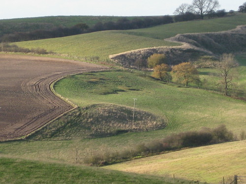
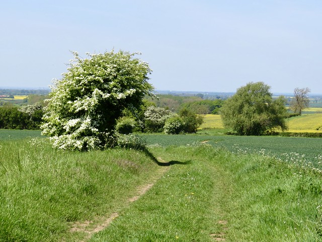
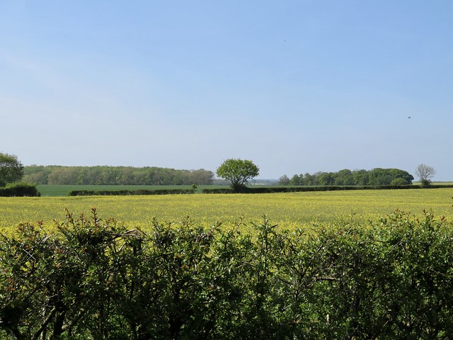
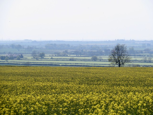
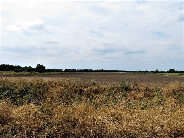
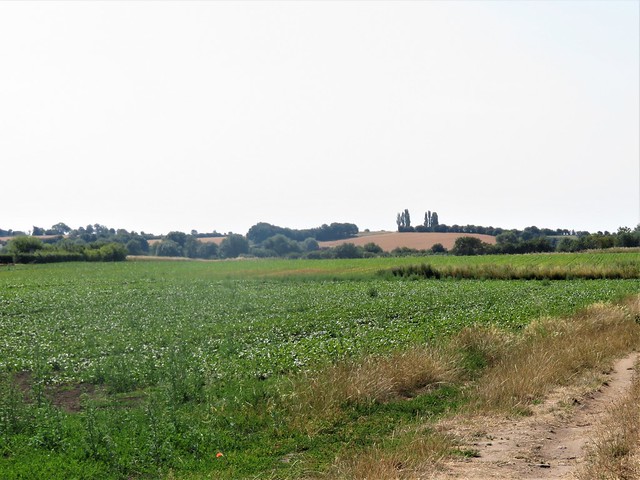
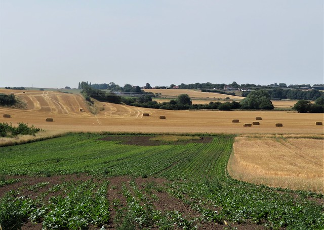
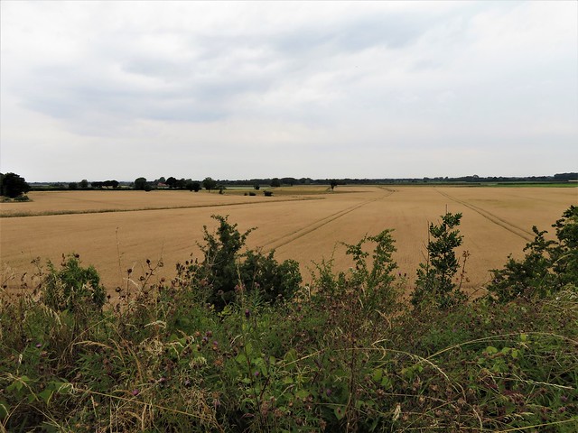
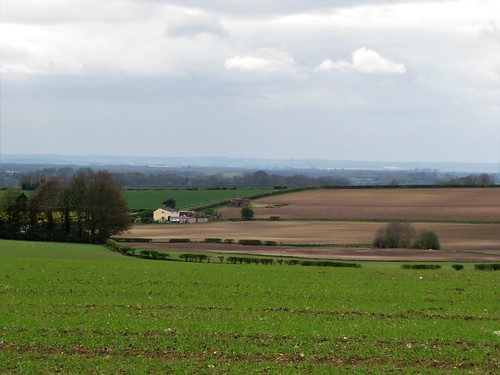
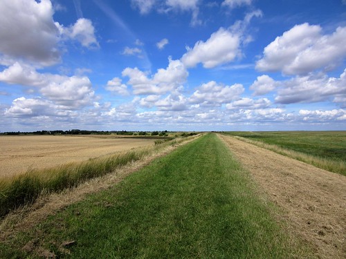
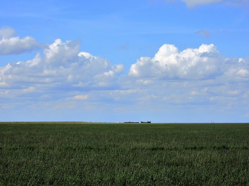
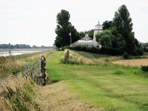
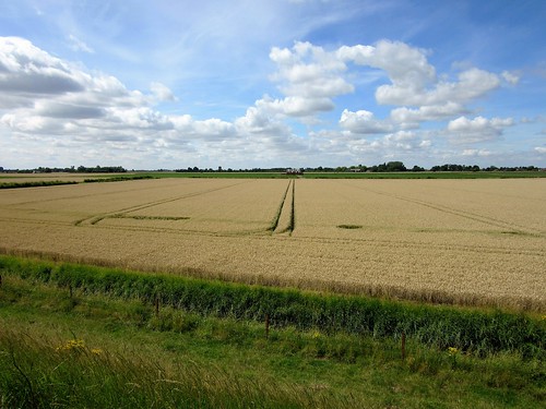
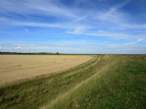
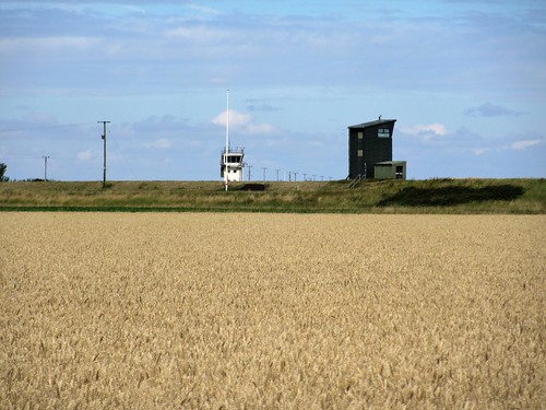
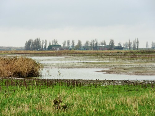
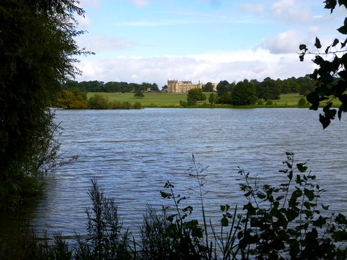
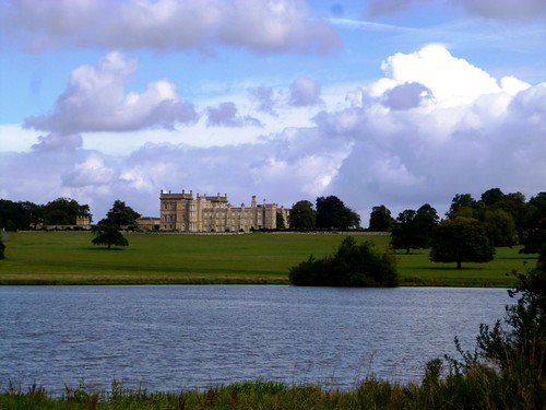
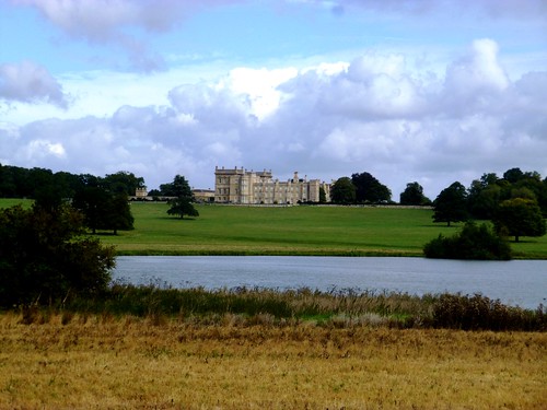
Seen from afar as a modest green bar on the horizon, the Wolds loomed, close-to, as a considerable wall. This long whaleback of limestone and ironstone rises some 300 feet above the Lincolnshire plains, a height lent grandeur by the flatness of the surrounding landscape.
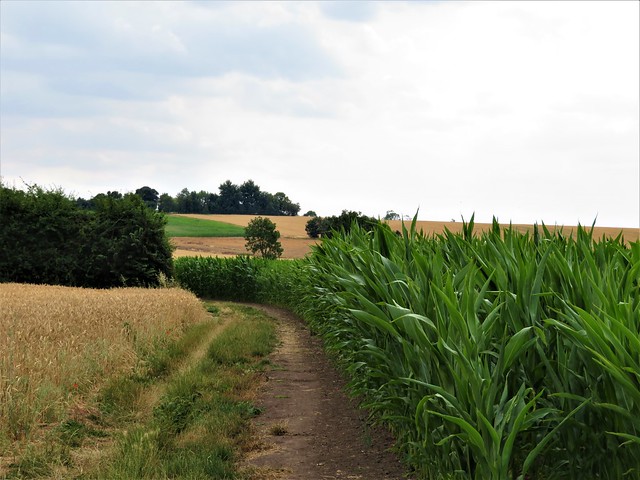
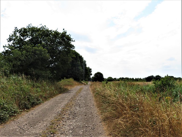
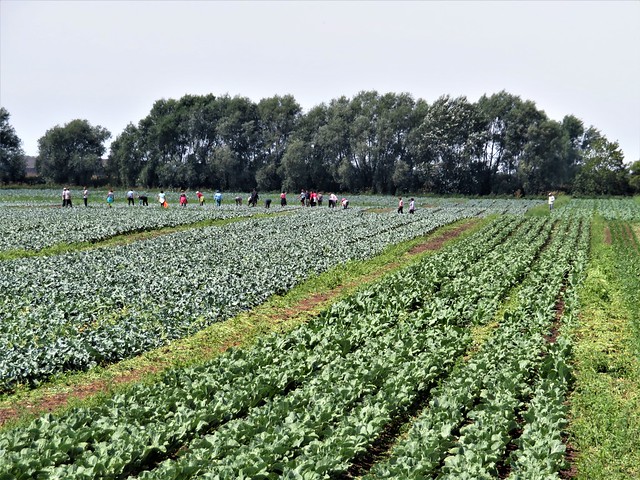
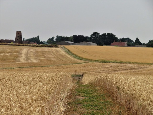
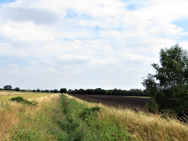
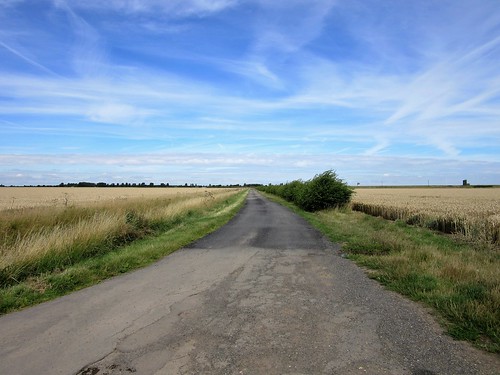
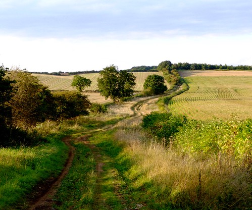
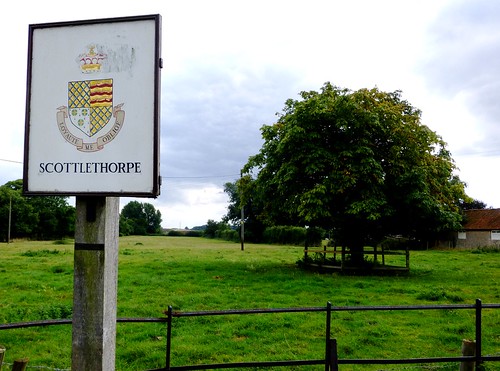
‘Tealby, Claxby, Normanby, Otby, Walesby, Risby’ said the map. So many ‘-by’s in this part of the world – the Norse word for a farmstead, denoting where 9th century Danish invaders settled and beat their swords into ploughshares (to some extent). Outside Tealby the Viking Way long-distance path handed me over to a footpath at the feet of the Wolds, running through Walesby and on through the wind-whistle fields. From Claxby I went steeply up the grassy escarpment, picturing the village’s founder, one Klakkr – rather a fierce fighter, I guessed, carrying the smack and clatter of swords in his name. Up in the wind on the wold top at Normanby, I rejoined the Viking Way and followed its horned helmet symbols down to lonely Otby on its ridge, then back to Walesby tucked into the valley below.
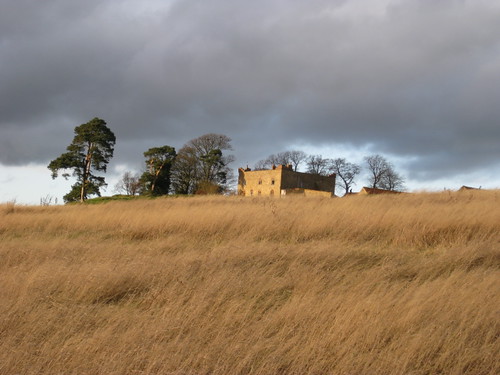
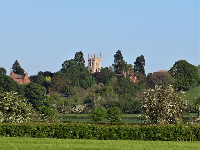
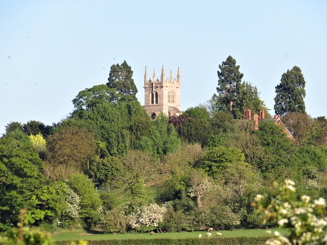
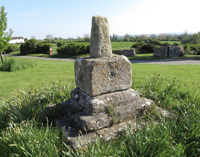
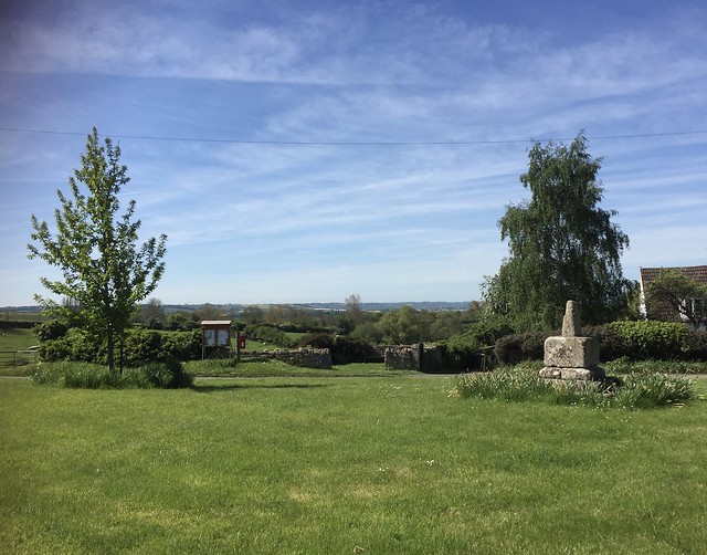
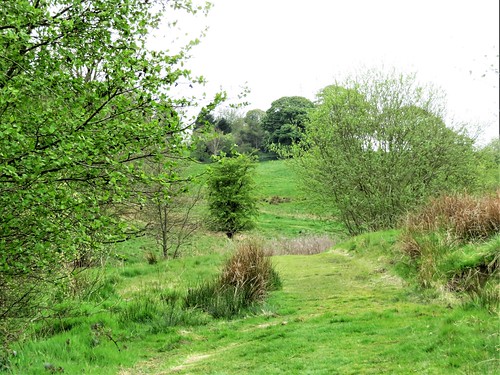
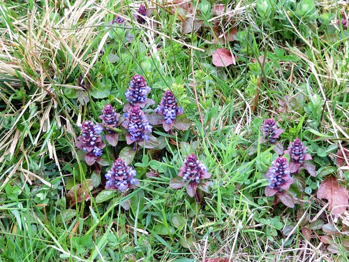
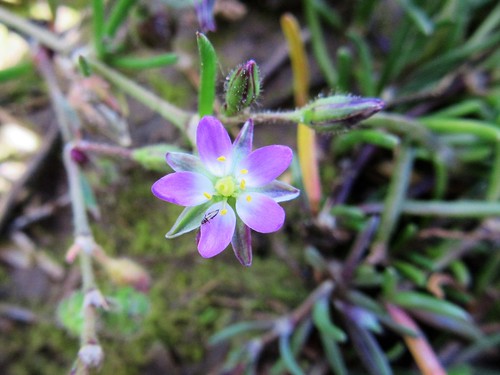
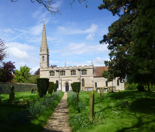
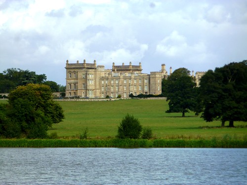
Walesby folk have not always dwelt in the vale. In the Middle Ages the village lay high on the Wolds, but when the Black Death arrived in 1348 the inhabitants fled their plague-blasted settlement and its church. I found snowdrops and daffodils growing on the ancient foundations of houses and fields around St Andrew’s – known to generations as the ‘Ramblers Church’. It became the focus of local walkers’ expeditions in the 1930s, when it stood in romantic ruins. Nowadays there’s a most beautiful stained glass window depicting a red-robed Christ beckoning across a cornfield to a trio of clean-limbed young ramblers of the old school, while a brace of 1950s cyclists waits to attract his attention.
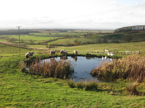
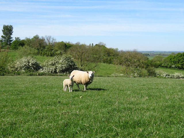
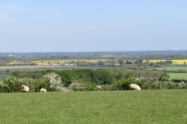
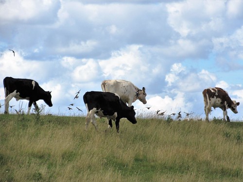
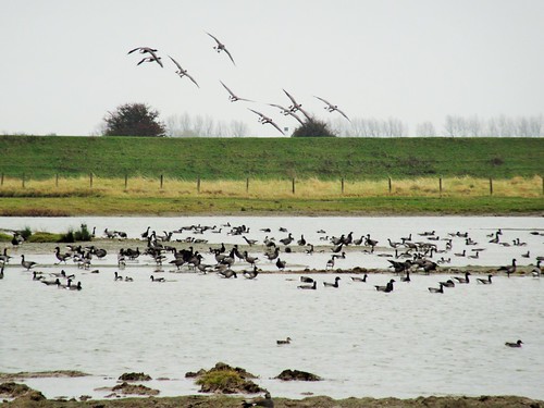
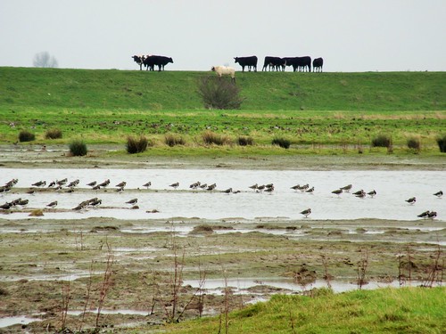
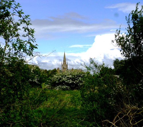
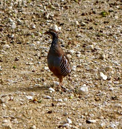
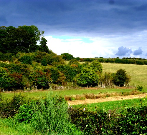
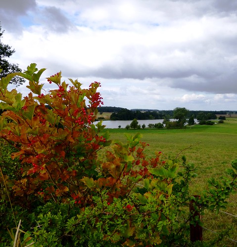
Medieval masons carved a jostle of cheeky, coarse-featured faces among the stone foliage of the nave pillars. I took some snaps and had a chuckle, then followed the Viking Way on along the ridge. Near Walesby Top a herd of 40 red deer watched me pass. The flock of pedigree Lincoln long-wool sheep at Risby – hefty beasts with a llama-like hauteur – stared through their floppy fringes as if mesmerised. And I stared back beyond them, out west to the edge of sight, where an apocalyptic sunburst sent Blakean shafts from blackening clouds to pick out the two towers of Lincoln cathedral on their ridge some twenty miles away.
Start & finish: King’s Head, Tealby, Lincolnshire LN8 3YA (OS ref TF 156905)
Getting there: Tealby is on B1203 near Market Rasen (A46, Lincoln-Caistor)
Walk: (10 miles, moderate, OS Explorer 282): From King’s Head, left to T-junction; right up street. In 200m (156907), up Church Lane to B1203. Left for 50m; right on Viking Way/VW (fingerpost). In 2nd field, fork left (152911; fingerpost) across fields to Catskin Lane (142917). Forward for ⅓ mile; right (136919) on footpath (fingerpost) into Walesby. Follow VW out of village; right (130924; ‘Mill House Farm’). Left at fork (129926; ‘Byway’); in ⅓ mile, left off VW (127931); follow ‘Byway’ for 1¼ miles to road (113942) into Claxby. Right up Normanby Rise; in ⅓ mile, right by reservoir (118948; footpath fingerpost), up side of wood, through 3 gates to road (123949). Right past Normanby church; follow VW. After 3 fields, leave VW (125936); ahead (fingerposts, yellow arrows) to valley bottom. Left (130930; fingerpost) to end of paddock (133933); uphill to Otby House drive (139935). Right to road; right into Walesby. From crossroads by village hall (134924) follow VW for 1¾ miles past Ramblers Church (138924), Risby Manor and Castle Farm to Tealby.
Lunch: King’s Head, Tealby (01673-838347; thekingsheadtealby.co.uk)
Accommodation: Advocate Arms, Queen Street, Market Rasen (01673-842364; advocatearms.co.uk) – stylish and very welcoming
Info: Lincoln TIC (01522-873256); visitlincolnshire.com
www.ramblers.org.uk www.satmap.com www.LogMyTrip.co.uk
Click on Facebook “Like” link to share this walk with Facebook friends.


;)