Search Results : norfolk

Jun 032023


First published in: The Times Click here to view a map for this walk in a new window
Hunstanton cliffs 1 Hunstanton cliffs 2 Wreck of steam trawler Sheraton Hunstanton cliffs 3 Hunstanton cliffs 4 Hunstanton cliffs 5 Sea holly in Holme Dunes Zigzag sand trap, Holme beach Looking across the freshwater marshes to Thornham

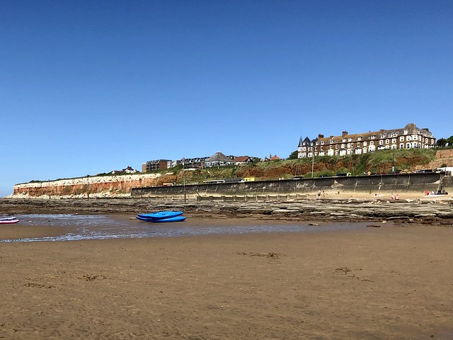
Half of Norfolk seemed to have descended on Hunstanton this glorious afternoon. Corny old tunes blared from the seafront bandstand, chip vinegar scented the breeze, and holidaymakers in their thousands strolled the dusky red sands and revelled in the unbroken blue of the sky.

It feels weird that Hunstanton, a Norfolk coastal resort, faces west rather than east. The town sits on the eastern flank of The Wash, a mighty tidal basin into which drain four great rivers – Nene, Welland, Great Ouse and Witham. Looking seaward from the promenade today we saw long banks of purple sand, scars of red rock, and paddlers far out in the shallows of the receding tide.

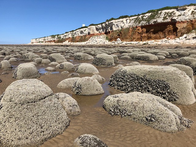
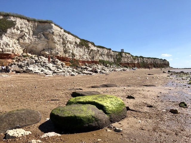
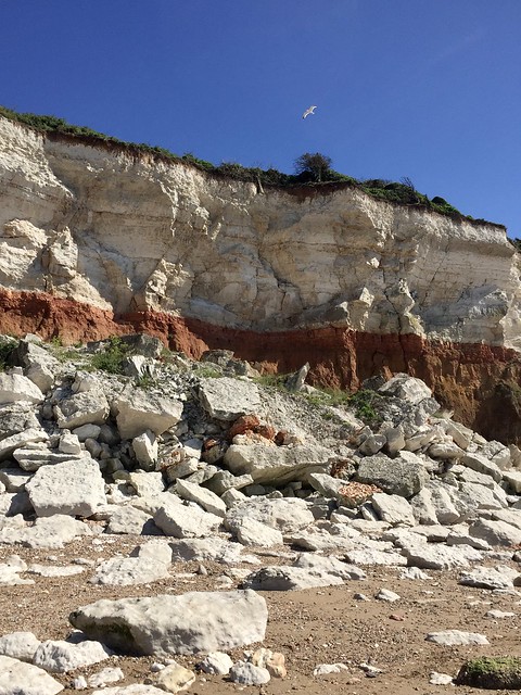
The cliffs to the north of Hunstanton are remarkable to behold. They form a striped sandwich of rock, the white of chalk on top separated from the rusty orange carrstone below by a thin crumbly band of red chalky limestone. It looks as though a giant carrot cake with white icing has been neatly sliced and left at the back of the beach.

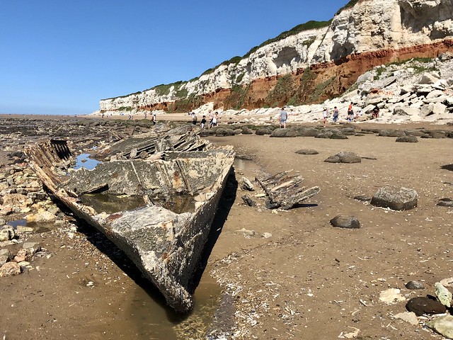
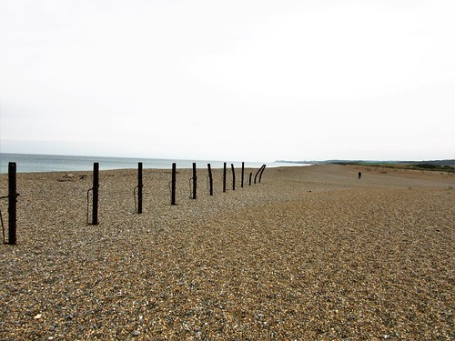
We walked the sands and clambered among the rounded and thickly barnacled boulders on the beach. At the feet of the cliffs a litter of big chalk slabs showed how unstable and prone to falls the structure is. Stretched out among the rocks we found the cast-iron skeleton of the steam trawler Sheraton, wrecked in 1947, now slowly rusting into dissolution.

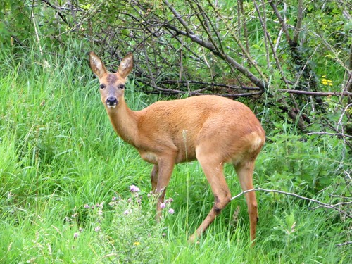
The muddy shore was scribbled with wormcasts. A gang of turnstone chicks pattered among them, quite unafraid as we passed. In cracks of the cliffs on the boundary line between red and white, fulmars stared out from their nests with sooty panda eyes.

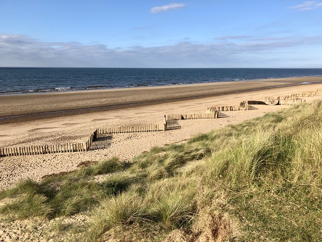
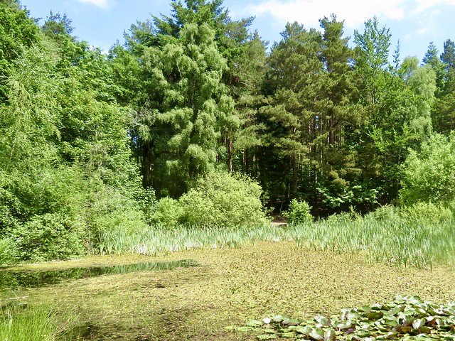
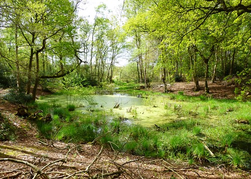
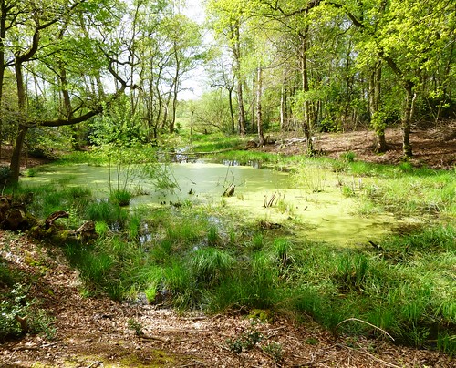
At Old Hunstanton the cliffs dipped. The orange carrstone disappeared beneath the shoreline, the white chalk followed suit, and a line of sandhills took over the north-eastern march of the coastline. Soon the kaleidoscopic jumble of brilliantly coloured beach tents and swimming costumes filtered out to an empty beach and a dune system rich in birds and flowers.

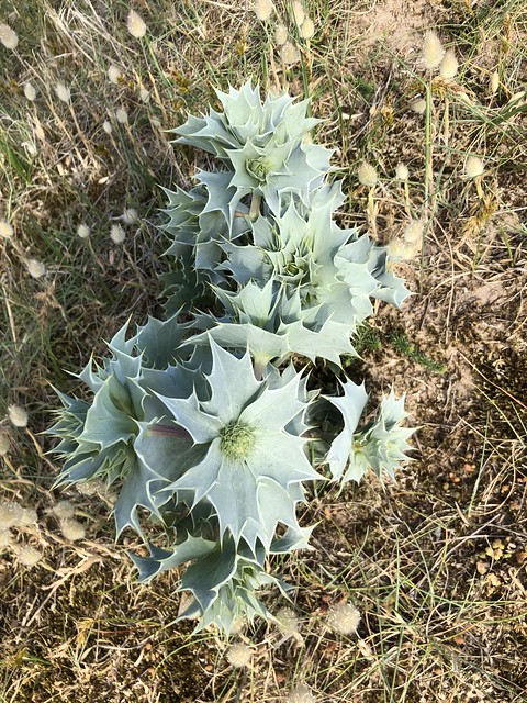
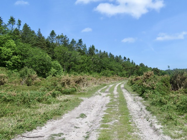
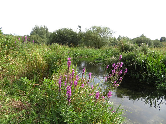
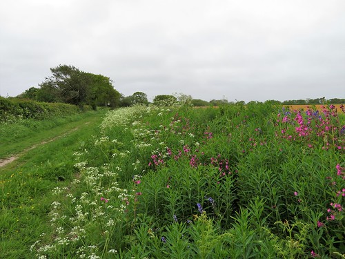
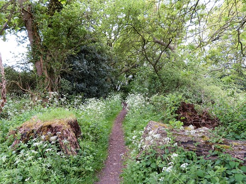
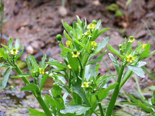
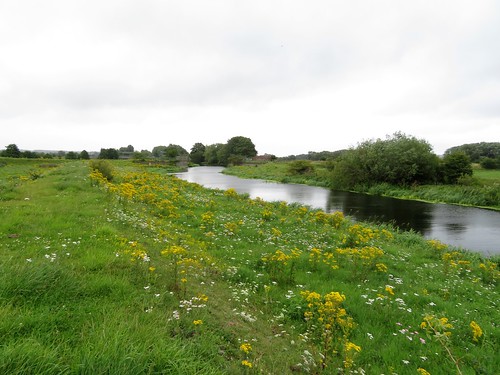
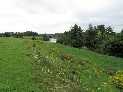
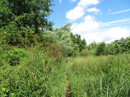
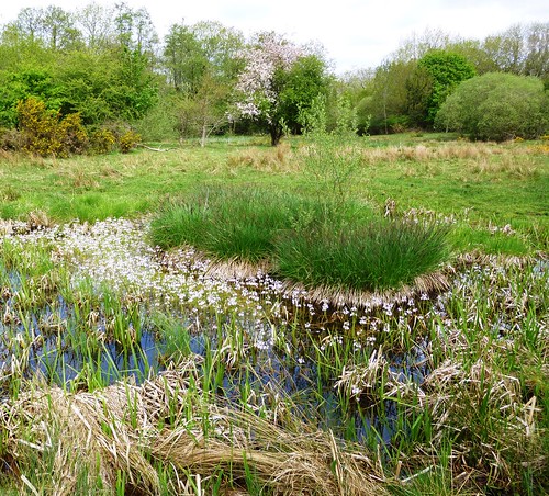
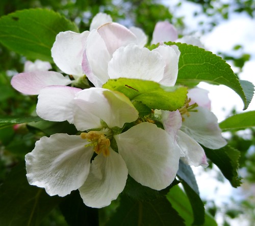
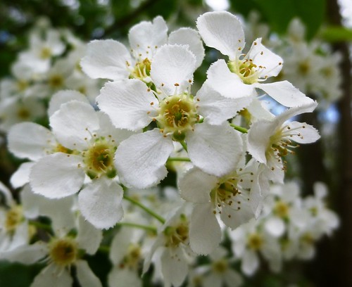
The coast path ran between dunes and grassy hinterland. Sea holly showed its blue-green prickles, stonecrop pushed up sulphur-yellow stars from fleshy stems. Everything that can withstand salty winds and retain rainwater flourishes here – solid southern marsh orchids and spindly twayblades, deep blue curls of viper’s bugloss and white trumpets of sea campion.

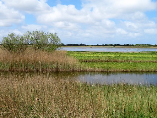
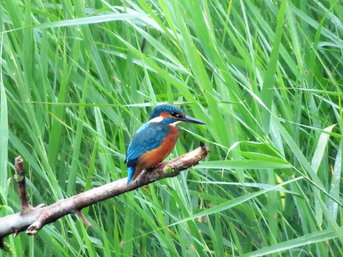
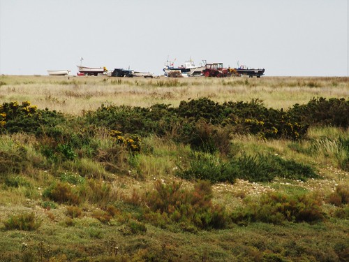
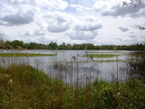
Beyond Holme Dunes we emerged from the sandhills to find the sea suddenly close inshore, a fan of sand spreading beyond an apron of creek-cut saltmarsh to the east. Linnets with rose-coloured breasts flitted among the sea buckthorn bushes, and a reed bunting with white collar and black bill swayed and squeaked on a twig like a tiny impassioned preacher.

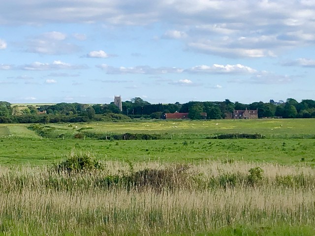
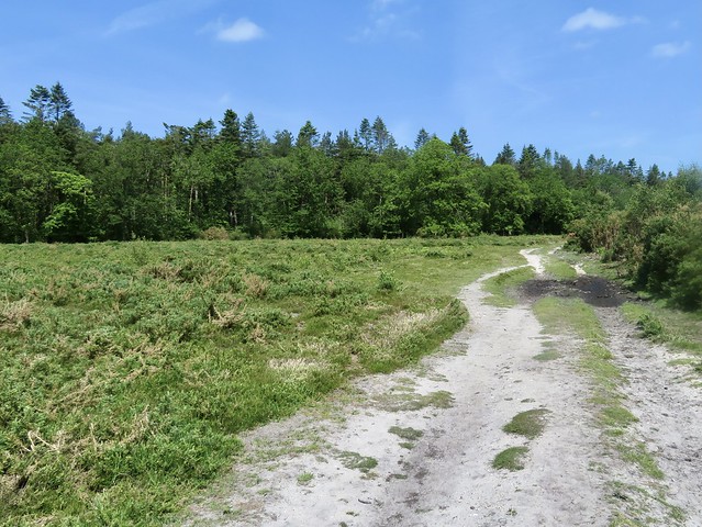
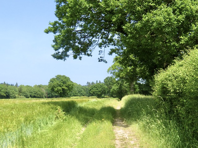
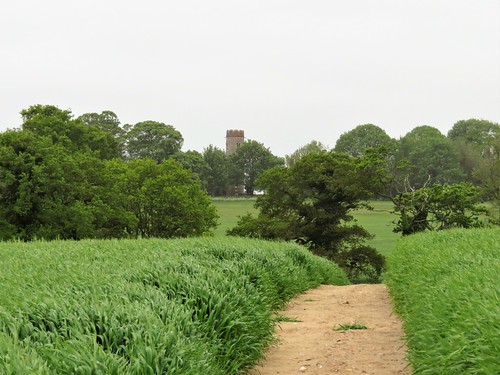
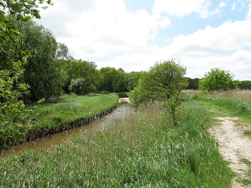
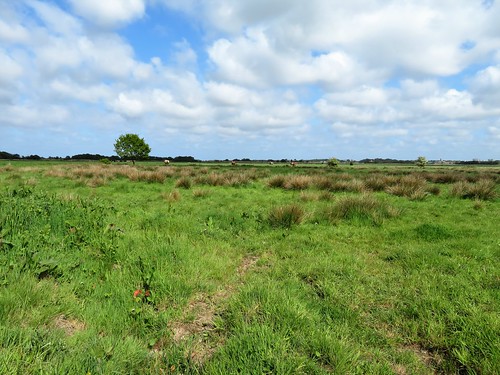
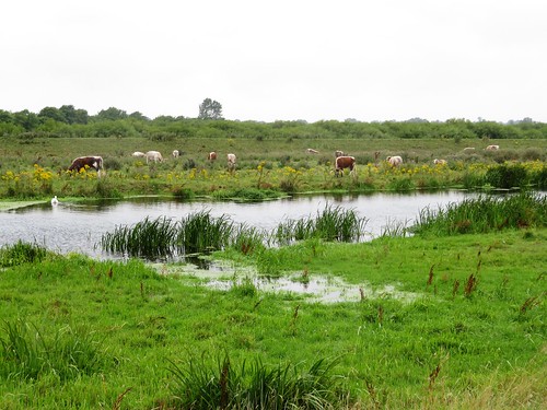
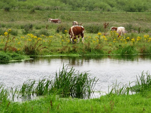
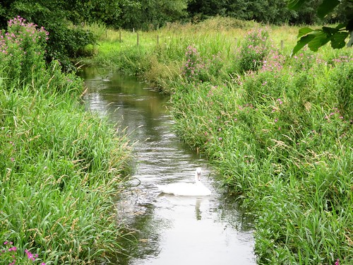
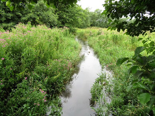
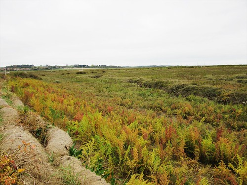
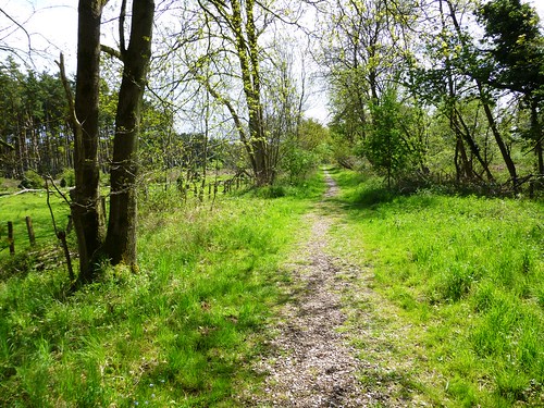
We turned inland along a zigzag of flood banks guarding grazing marshes reclaimed from the sea, and made for the red roofs of Thornham across the fields as evening began to close in.

How hard is it? 6½ miles; easy; level walking on beach and coast path

Start: Hunstanton seafront, PE36 5BQ (OS ref TF 672409)

Getting there: Bus – Norfolk Coastliner from Thornham (on A149 Hunstanton-Cromer)
Road – Hunstanton is on A149 between Heacham and Brancaster

Walk (OS Explorer 250): From Hunstanton seafront, turn right along beach (low tide) or Norfolk Coast Path along cliffs, to Old Hunstanton. Continue along Coast Path (waymarked) to Thornham. Opposite Orange Tree Inn (733432), take Norfolk Coastliner bus back to Hunstanton.

Lunch/Accommodation: Orange Tree Inn, Thornham PE36 6LY (01485-512213, theorangetreethornham.co.uk) – excellent village inn, perfectly placed at walk’s end.

Info: Holme Dunes – norfolkwildlifetrust.org.uk
Coastliner bus timetable – lovenorfolk.co.uk/norfolk-coastliner

 Posted by at 01:46
Jul 022022


First published in: The Times Click here to view a map for this walk in a new window
Hetty’s House Tearoom, Holt Country Park Dragonfly pond in Holt Lowes 1 chalky path through Holt Lowes 1 Dragonfly pond in Holt Lowes 2 Field edge path to Hempstead 1 Field edge path to Hempstead 2 Hempstead's Church of All Saints - stumpy brick tower, flint-built body, and 20th-century apse with a perky little thatched roof. chalky path through Holt Lowes 2 a keeled skimmer enjoys a rest in the chalky mud of Holt Lowes

We kept a good eye out for silver-washed fritillaries as we puzzled our way along the tangled path and sunny glades of Holt Country Park. But the elusive butterflies, leopard-spotted swoopers that love oak and conifer woods like these, were deep in their midday snooze, and not to be seen.

No matter – the woodland ponds and puddles were buzzing with insect life drawn out and about by the strong Norfolk sunlight. Soon Jane’s sharp eyes had picked out a beautiful dragonfly, a keeled skimmer, a great rarity in East Anglia. Somehow this spot suits them, a marginal place where woodland meets the heath and mire of Holt Lowes. Our skimmer, a large male, perched still long enough for us to admire his ice-blue dagger of an abdomen before he darted away after a midge or perhaps a female skimmer.

We followed a path of flint and pale sun-baked clay among ling and bell heather along the edge of Holt Lowes. Thick clumps of gorse grew as tall as the silver birch of the heath. The fresh lime green of young bracken relieved the sombre colour scheme, along with the occasional shard of brilliant yellow from solitary gorse blooms.

Our way led through a belt of pines and showy pink rhododendrons to Hempstead Road. The quiet country lane descended between sandy banks to pass an abandoned old mill, its flint walls sturdy, its cast-iron flywheel still in position.

In hot afternoon sun we trod a field-edge path, a former green lane now shorn of its hedges, that curved round ponds and lanes to reach the tall farmhouse of Hempstead Hall. A bulbous old Spanish chestnut stood beside the road, who knows how old? – spiral-twisted, battered by storms, pollarded by lightning,

At Hempstead the Church of All Saints was a cut-and-shut affair, a stumpy brick tower, a flint-built body and a 20th-century apse with a perky little thatched roof. A gravestone inscription commemorated Bob Mack (1919-1999), ‘whose strong hands were skilled at the plane and the lathe.’

A lovely quote, and a beautiful place for a handy man to lie at rest, and for two weary walkers to eat their picnic on the churchyard bench before the homeward stroll.

How hard is it? 5 miles; easy; woodland and field paths

Start: Holt Country Park car park, Holt, Norfolk NR25 6SP (OS ref TG 082375)

Getting there: Bus 45 (Holt-Norwich)
Road – Signed off B1149, just south of Holt (A148, Cromer-King’s Lynn)

Walk (OS Explorer 251): Pass wooden bird totem. Right; in 50m, left (green arrow). In 200m, left past pond (084374), through gate; left up side of Holt Lowes heath, parallel with trees. In ½ mile, left through gate (089380); in 100m, at purple arrow post, right to cross car park to Hempstead Road (089383). Right; in ⅔ mile, right (097378, footpath fingerpost). In 400m bear left past pond (095374), between barns to road. Past pond on right; fork left (yellow arrow/YA) past Hempstead Hall (097373); on for 300m. Opposite bungalow on left, right (099373, footbridge, YAs); field path to road at Hempstead Church (105370). Right; in 300m, right at Church Farm (105367, fingerpost) on field path. In ⅔ mile dogleg left/right past barn (096368) and on. In 700m descend; cross River Glaven (087367); on (YAs) to road (084368). Right, following paths parallel to road. In 500m, at pond, left through gate (084373); retrace steps to car park.

Lunch: Hetty’s House Tearoom, Holt Country Park

Accommodation: Byfords Hotel, Shirehall Plain, Holt NR25 6BG (01263-711400, byfords.org.uk)

Info: Holt TIC (01263-713100)

 Posted by at 02:17
Jul 252020


First published in: The Times Click here to view a map for this walk in a new window
picture picture picture picture picture picture picture picture picture
Facebook Link:

Just behind the houses and the big flint-built Bailey Gate in Castle Acre’s main street, a great castle fortified in the 12th century by the de Warenne family stands in ruins on its 100 ft mound, still strikingly severe and dramatic.

We walked the ramparts and descended into the ditches, picturing those desperate days of Civil War between 1135 and 1153 when Stephen of Blois and the Empress Matilda contested the English crown and only the strongest stronghold gave security.

The ancient thoroughfare that brought friend and foe to the walls of Castle Acre, a route known nowadays as Peddar’s Way, had been in use for millennia when the de Warennes held sway here. We followed the old road out of the village to where the River Nar dimpled over shallows of flint and sand across a wide ford.

At South Acre, St George’s Church stood by the roadside. Inside we admired the ornate, 20-foot-tall medieval font cover and the intricately carved foliage of the old rood screen. In the north chapel, Sir Edward Barkham (Lord Mayor of London, 1621-2) lay in stiffly splendid effigy on a tomb chest beside his wife Jane, while on the floor nearby the 14th-century brass likenesses of Sir John and Lady Katherine Harsick lay fondly holding hands.

Beyond South Acre the sandy lane of Petticoat Drove climbed out of the shallow Nar Valley through gently undulating corn and beet fields. A rising wind whistled in the tops of ash and sycamore as we passed Three-Cocked-Hat Plantation. Dropping down a long grassy lane towards the River Nar again, we caught glimpses through the hedges of tall blocks of flint masonry, the remnants of West Acre’s Augustinian Priory.

The Nar Valley Way led homeward along duckboard trails, over squelchy ground and on past the juicy reedbeds and marsh ground of Castle Acre Common. This valley was nicknamed the Holy Land for its many religious houses, and on the outskirts of Castle Acre we found the Cluniac Priory established by William de Warenne at about the same time as the castle.

Guarding the tight cluster of monastic buildings stood the tall west front of the abbey church, superbly built and engineered, sculpted with a row of stone heads more pagan than Christian, enigmatically staring down as they have done for almost a thousand years.

Start: Castle Acre, near King’s Lynn, PE32 2AE (OS ref TF 816152)

Getting there: Flexibus from Swaffham (Booking – 0300-123-1145)
Road – Castle Acre is signed off A1065 between Swaffham and Fakenham

Walk (7½ miles, easy, OS Explorer 236): Follow signs to castle (819152); walk ramparts. From SE corner of precinct (820150), right along Nar Valley Way/NVW). At Bailey Street, left (819150, ‘Peddars Way’/PW). In 100m, right (PW) up Blind Lane. In 100m, fork left (white acorn); at T-junction (816148), left past ford (816146). Just beyond Church Farm, right along road (812143). Pass South Acre church (810143); in 350m, left (807144, ‘Restricted Byway’) up Petticoat Drove. In ¾ mile, right at grain silos (801133, ‘Circular Walks’/CW); in ¾ mile, right (788137, CW), north for ¾ mile to cross road (785148). In ¼ mile, cross NVW (785151); bear left (‘public footpath’) across common. At ford, right along road (789151); in 50m, left (NVW) for 2 miles back to Castle Acre.

Lunch: Picnic by River Nar ford on outskirts of Castle Acre.

Accommodation: Pigshed Motel, George & Dragon Inn, Swaffham Road, Newton by Castle Acre, PE32 2BX (01760-306037, thepigshedmotel.co.uk)

Info: Castle Acre castle and priory – english-heritage.org.uk – booking required

Kings Lynn TIC (01553-763044), satmap.com; ramblers.org.uk

 Posted by at 01:14
Jun 152019


First published in: The Times Click here to view a map for this walk in a new window
picture picture picture picture picture picture picture picture
Facebook Link:

Met Office – hang your head in shame! Whatever happened to those balmy spring zephyrs and that blue sky you promised for North Norfolk? Whoever sent a grey sea fret to blur the sky and a cutting north wind to chill a walker’s marrow, you let them slip under your guard.

Disappointed, but nothing daunted, we donned the fleeces and thick trousers and set out across the parkland of Felbrigg Hall. The old Jacobean house, flint-built and packed ground to roof with windows, stood foursquare beyond its ha-ha, a solid block of country house in a park of magnificent trees.

Old oaks stood bowed by the years, knee-deep in their own fractured and barkless limbs. We measured the girth of one giant – thirty feet around the waist, its top hamper splinted by storms and truncated by the tree surgeon’s saw, still gamely putting forth ten thousand leaves each new spring.

Handsome black and tan cattle browsed the pastures where tiny calves bumped heads and matched high kicks with their siblings. A gaggle of greylag geese guarded four fluffy goslings in the rushy, marshy tail of Felbrigg pond.

All nature was about its business in the woods and fields around Felbrigg. Bluebells nodded in the wind, horse chestnut candles bobbed on their laden branches, and a heron flew up from the path, leaving behind a still-breathing frog with a neat crimson stab-hole at the base of its head.

South of Felbrigg Park we followed a green lane whose banks were spattered pink and white with campion and stitchwort. Now enormous prairie fields opened towards the round tower of Sustead Church, a monotonous dull green sea of corn with never a wild flower in it. But the indomitable skylarks still flew up from their nests hidden in the crop, singing as though all were all right with the world.

An aspen grove hissed in the wind at Glen Farm, where we turned for home through damp meadows of lush grass and sandy ploughlands where brown hares galloped the furrows. We stopped in at Metton’s little church of roughly knapped flint, and threaded more vast cornfields before the final stretch among incurious ewes and lambs at ease under the oaks of Felbrigg Park.

Start: Felbrigg Hall NT car park, near Cromer, Norfolk NR11 8PR (TG 195394)

Getting there: Felbrigg is signed off A148 Cromer-Fakenham road, just west of Cromer. Car park £3/day, NT members free.

Walk (6¾ miles, easy, OS Explorer 252): Follow track past Felbrigg Hall and on through park. At cattle grid (191395), left and follow Weavers Way/WW. In ¾ mile, right at road (186386); in 50m, left (WW) along byway. In ½ mile, left at road (180380). In 200m, left off WW across field. 150m short of far side, left (185375) on path to cross road (185376). Right (fingerpost) along field edges for ½ mile to road (194373). Right; in 250m, left (193371, WW) up farm drive. In ½ mile pass Glen Farm; in another 300m, yellow arrow/YA and WW on post point right (198362), but go LEFT here up grass path, north along fields for ¾ miles to Metton (199373). Cross road by church; ahead (stiles, YAs) across fields to north edge of Metton Carrs wood (198381). Ahead across fields to lane (199386, fingerpost). Ahead; in 450m, left (199390) past church to car park.

Lunch: NT café, Felbrigg Hall

Accommodation: Gunton Arms, Gunton Park, Thorpe Market, Norfolk NR11 8TZ (01263-832010, theguntonarms.co.uk)

Felbrigg Hall: 01263-837444; nationaltrust.org.uk

Info: Cromer TIC (01263-512497); visitnorfolk.co.uk; satmap.com; ramblers.org.uk

Ships of Heaven – The Private Life of Britain’s Cathedrals by Christopher Somerville (Doubleday) is now out.

 Posted by at 01:56
Aug 042018


First published in: The Times Click here to view a map for this walk in a new window
picture picture picture picture picture picture picture picture picture picture picture picture
Facebook Link:

The River Thurne went chuckling round the boats moored at Potter Heigham. We watched a beautifully restored Norfolk wherry, with mast folded flat, preparing to pass under the arch of the 14th-century bridge, now that the ebbing tide had left just enough squeeze room there.

The banks of the Thurne were lined with little dwellings, some smart, others weather-beaten old shacks. The sun shone on the white cap and tall brick tower of High’s Mill, one of dozens of windpumps built in times past along these waterways to drain the sodden fen fields for agriculture.

Reed buntings creaked and reed warblers chattered in the reedbeds. The feathered heads of the reeds tossed and whispered together in the wind. A big new area of reedbed is being planted and nurtured for wildlife here, a good example of farming and conservation in Fenland making easier bedfellows than in the past.

Two large birds sprang up beyond the water, black and white, slowly flapping their big wings – cranes, aliens until recently, now domiciled and breeding here.

The path passed through a gate, a portal into a different world, the sedgy fields left behind for damp oak woodland and the vast reedbeds of Hickling Broad. Remarkable noises came from the reeds, a mixture of chicken clucks and porker squeals – a water rail, skulking like a naughty child where it could be heard and not seen.

Hickling Broad, like the other Norfolk Broads, is a flooded medieval peat digging. The big inland fleet of water lay masked by reeds. Hugh clouds moved with stately gait across the windy blue sky, casting an elephantine calm over the landscape.

Potter Heigham’s church of St Nicholas is a flint-built chest of treasures – a magnificent hammer-beam roof, a rare medieval font of brick, a rood screen painted with saints, and a 14th-century wall painting showing the good deeds a charitable lady ought to perform – giving a loaf to a starving old man, handing coins to a fettered prisoner, spooning soup into the mouth of a sick man.

Our way back lay along farm tracks where larks went up singing over the pastures, a stolid bull eyed us across his ditch, and a great dark marsh harrier, a female with a golden head, went flapping along the hedges while every crow in Potter Heigham hopped and skipped and cursed her to hell.
Start: Latham’s car park, Potter Heigham Bridge, Great Yarmouth NR29 5JE (OS ref TG 419185) – £8.50 all day.

Getting there: Bus 6 (Great Yarmouth – North Walsham)
Road: Potter Heigham Bridge is signed off A149 between Stalham and Caistor-on-Sea.

Walk (6½ miles, easy, OS Explorer OL40); Walk towards old Potter Heigham bridge; just before, left along bank of River Thurne, then Candle Dyke, passing alongside Ground Plantation and Wagonhill Plantation. After 3½ miles, pass bird hide opposite Rush Hill lagoon (423209); in another 350m, left (421206, fingerpost) through Coll’s Plantation, then on south to T-junction of hedges (421201). Right (‘Weavers’ Way Circular Walk’, green arrow) to road; left to St Nicholas Church (419199). Retrace steps to edge of Coll’s Plantation (421204); right for 1 mile along south edge of wood, and past Glebe Farm (428197) to T-junction opposite High’s Drainage Mill (429193). Right (yellow arrow) along Middle Wall; cross A149 (419187) and on; in 200m, left to car park.

Lunch: BridgeStones* café, Potter Heigham Bridge (01692-671923, www.Wayfordbridge.co.uk)

* sic

Accommodation: Wayford Bridge Inn, Stalham, Norfolk NR12 9LL (01692-582414, norfolkbroadsinns.co.uk)

Hickling Broad NNR: 01692-598276, norfolkwildlifetrust.org.uk

Info: Great Yarmouth TIC (01493-846346); visitnorfolk.co.uk; satmap.com; ramblers.org.uk

 Posted by at 08:21
Jul 072018


First published in: The Times Click here to view a map for this walk in a new window
picture picture picture picture picture picture picture picture picture picture
Facebook Link:

A cool damp afternoon in the flat river country of the Norfolk/Suffolk border. Pale sprigs of mugwort and purple-flowered teasels grew with royal blue viper’s bugloss in the verges of Moor Drove East, and the banks of the Little Ouse River and its tributary drains were bright yellow with ragwort and lady’s bedstraw. This is not all soulless prairie farming country, but a complex maze of water channels and lush grassy banks.

Beyond the tall twin gates of Little Ouse sluices and a brief roaring strip of road, we turned aside into the ‘otherworld’ of the RSPB’s nature reserve at Lakenheath Fen. Ditches lay spread with waterweed, marsh woundwort raised stout pink flowerheads, and outside the picture window of the visitor centre a kingfisher perched in all its bronze and cerulean glory beside a pond that plopped with fish.

‘Used to be carrot fields,’ said the warden, ‘very intensively farmed. We dug it out, replanted it with fen species and let the water in – controlled it carefully. Now we’ve otters, bitterns, water voles, marsh orchids, even nesting cranes – just about everything that was here before the Dutch drained the Fens nearly 400 years ago. Isn’t that something special?’

Lakenheath Fen is special, all right. We followed the main trail west on paths of grass and gravel, ducking aside into strategically placed hides to watch great crested grebes preening themselves and swallows zipping low over the meres. With ping and a whistle a flock of bearded tits came skimming through the reed heads – endearing little birds with fine black Fu Manchu moustaches.

From the viewing point at Joist Fen we saw a male marsh harrier pounce into the reedbed in a flurry of large pale wings, while his dark-hued mate perched in an elder bush, turning her gold-crowned head from side to side.

Following the flood banks of the Little River Ouse back to Hockwold, we passed scattered herds of cattle, surely the most contented beasts in Fenland, up to their hocks in the green swamp and chewing lush grass with all the appreciative deliberation of connoisseurs.
Start: Red Lion, Hockwold-cum-Wilton, Norfolk IP26 4NB (OS ref TL 735880)

Getting there: Bus 40 (Thetford-King’s Lynn)
Road: Hockwold-cum-Wilton is on B1112 between Lakenheath and Feltwell (A11 to Mildenhall)

Walk (7¾ miles, easy, OS Explorer 228): Pass church; on down Church Lane. In 500m fork right (734876) along Moor Drove East. At river bank, left (729873); right across sluice (731870); bear right along riverbank to B1112 (724868). Left (grass verge – take care!); in 300m, right into Lakenheath Fen nature reserve (724866). Roadway to Visitor Centre (718863). Follow Main Circular Trail/MCT (white arrows/WA). In 900m fork right (712860, 2 WAs), following MCT. In 50m detour right to New Fen viewpoint and back; in 650m, left (704861) to Mere Hide and back. In 200m take left fork (702861) on gravel, not grassy path; in another 500m, right (697860) past Joist Fen viewpoint. At T-junction with fingerpost (698861), left for 100m; right up river bank, through kissing gate; right along river bank (Hereward Way) for 2 miles back to B1112 (724866). Left (take care!); retrace steps to Hockwold.

Conditions: Paths can be wet and muddy

Lunch: Red Lion, Hockwold-cum-Wilton (01842-829728) – decent village pub

Accommodation: Bridge Hotel, 79 High Street, Brandon, Suffolk IP27 0AX (01842-338228, bridgehotelbrandon.com)

Lakenheath Fen nature reserve, IP27 9AD (01842-863400, rspb.org.uk) – RSPB members park free, others £4. Very helpful staff

visitengland.com; satmap.com; ramblers.org.uk

The Times Britain’s Best Walks by Christopher Somerville (£16.99, HarperCollins) is now out in paperback

 Posted by at 01:27
Nov 042017


First published in: The Times Click here to view a map for this walk in a new window
picture picture picture picture picture picture picture picture picture picture picture picture picture picture
Facebook Link:

Ill-fated, black-eyed little Anne Boleyn lived as a child in the north Norfolk countryside at Blickling Hall. But the Tudor mansion she knew is not the one we admired as we crunched down the grave drive – these pepper-pot turrets and huge central clock belong to the following century, as do the curly Dutch gables.

Blickling Hall is magnificent, and so are its widespread grounds. We followed a waymarked walk which skirted the inverted comma of the ornamental lake. Storm-splintered cedars spread their wide dark skirts in the pastures, and the carcases of dead oaks lay as pale and massive as elephant corpses among the long grasses.

We passed a signature beech, its smooth grey bark incised with lovers’ names and initials – SDF & Di, AW loves BW, Olly hearts Dolly. A cold west wind drove wavelets against the northern shoreline of the lake, where we took to well-trodden tracks among fields full of the glinting leaves of sugar beet.

Boardwalks spanned the squelching woodland of Moorgate Carrs. We crossed the dimpling water of the River Bure where whorled mint gave out a savour half minty, half sharp. The blackberries in the green lane hedge were sharp on the tongue, too.

In the corner of a field by a margin planted to please the palates of pheasants with goldenrod, mayweed and purple brassicas, we lay on our backs for half an hour for the pure pleasure of watching the sky. Then it was up and on, heading south through pastures grown tufty and lumpen. We recrossed the Bure, a skein of rushy watercourses dried to trickles in the grass where tangled curls of water plantain pushed up their flowers, each with its three pale blue petals.

From the southern skirts of Itteringham a dusty lane ran east between stubble fields. Pheasant poults went scurrying away up the rows, too flustered to feed, too young to fly. The wind rose and shoved at our backs, and we were glad to get into the shelter of Blickling Park’s Great Wood.

On a grassy ride in the middle of the wood we came on a bizarre structure, a sharply pointed pyramid as tall as a house. Over the eastern portal posed a fine stone stag, brandishing real antlers. Within this eccentric mausoleum John Hobart, 2nd Earl of Buckingham, lies alongside his two wives.

The plaque on the western face of the pyramid, topped by a great bull, seemed to suggest that the Earl had married his own daughter. Perhaps I misunderstood it. In any case, I can report that the north- and south-facing openings of the tomb make great echo chambers. They allow one to sing harmonies with oneself, to truly eerie effect.

Start: NT car park, Blickling Hall, Aylsham, Norfolk NR11 6NF (OS ref TG 176286)

Getting there: Blickling Hall is on B1354 Saxthorpe road, signed from Aylsham (A140 Norwich-Cromer)

Walk (7 miles, easy, OS Explorer 252): From car park walk down road to Blickling Hall. Down drive towards house; just before buildings on right, turn right through hedge, up steps. Keep right of Courtyard Bookshop; half right to map notice; from here follow waymarked Estate Walk (blue arrows). At top of lake (179295), left along gravel path. In 150m fork right (orange arrows). In 400m, right at 3-finger post (174295, ‘public footpath’).

In 500m, right on road at Moorgate (174300); in 100m, left (yellow arrow/YA). Boardwalk crosses Moorgate Carrs and River Bure (175301). In 250m path turns left along field edges (YA), and on to road at Fring Wood (174308). Left, in 700m, fork right (167308) up drive past White House Farm; on along field edge tracks westward for ½ mile. Descend through gate to broad green strip at The Rookery (152309). Don’t go through gate with YA opposite; bear left along wood edge; in 100m through gate, follow hedge on left southward for 2 long fields / ½ mile to cross several channels of River Bure and reach road opposite Orchard Farm (154299).

Left, in ½ mile on left bend (161297), ahead through Woodgate car park; past 5-bar gate, follow stony track on outskirts of wood (orange arrow). In 600m, sandy track on left (165292) leads to mausoleum (166295).

Lunch/Accommodation: Buckinghamshire Arms, Blickling NR11 6NF (01263-732133, bucksarms.co.uk)

Blickling Hall: nationaltrust.org.uk/blickling-estate

visitnorthnorfolk.com; satmap.com; ramblers.org.uk

 Posted by at 01:24
Jan 092016


First published in: The Times Click here to view a map for this walk in a new window
picture picture picture picture picture picture picture picture
Facebook Link:

The black-backed gull was having a real struggle with its breakfast down on the muddy banks of Blakeney Quay. We stopped to watch it battle a flapping flatfish that kept writhing out of its beak like a monstrous silver tongue. Eventually gull had fish subdued, and we turned our steps seaward along the mile-long creek that nowadays connects Blakeney with the North Sea.

Looking back from the shingly shore at the distant red roofs and flint-and-brick walls of Blakeney, it seemed incredible that the town was once abutted by the sea. The enormous apron of salt and freshwater marshes that has grown through silt deposition along the North Norfolk coast has cut Blakeney off from the sea, but it has also made the former port a wonderful place for birdwatchers and walkers.

Redshank piped nervously among the marsh pools. A flock of dark-bellied brent geese, newly arrived for the winter from northern Russia, scoured the grassy marshes for food. Wigeon in twos and threes went hurrying across the sky with fast wingbeats. Canada and greylag geese sailed in company on a fleet of water. The more we looked, it seemed, the more there was to see.

We turned the corner by the sea, and made for the white cap and sails of the great coastal windmill at Cley-next-the-Sea. Like neighbouring Blakeney, Cley is now separated from the sea by a long mile of marshes. It, too, is entirely charming, a Londoner’s weekend dream with its flint walls, red roofs and narrow, curving street round whose blind corners bus drivers and pedestrians dice with one another. You can get home-made lavender bread and spinach-and-ricotta filo parcels in Cley’s picnic shop – not exactly traditional Norfolk fare, but a good indicator of the change that has come to these delectably pretty villages of the marshes.

We passed under the sails of the windmill and went seaward along the floodwall towards journey’s end at Salthouse. Samphire grew scarlet, green and yellow along the marsh edge. A black brant goose, a rarity in from America, bobbed its white shirt-tail. Pinkfooted geese in long skeins passed across the cloudy sky, and a grey seal swam off the shingle beach with a powerful breaststroke while he checked us over.

Beach pebbles laid a carpet of many colours along the strand: black, white, amber, grey, ochre and jade. Goldfinches jockeyed among yellow-horned poppies whose long seedpods quivered in the wind off the sea. Hundreds of golden plover stood huddled by a pool, close-packed like one wind-ruffled organism. All nature seemed intent on its own business in the marshes, indifferent as to whether we were walking there or not.

Start: Blakeney Quay car park, NR25 7ND (OS ref TG 028441)

Getting there: Coasthopper Bus (Hunstanton-Cromer) – coasthopper.co.uk.
Road – A149 from Hunstanton.

Walk (6½ miles, easy, OS Explorer 251. Online map, more walks at christophersomerville.co.uk): From car park, climb steps and walk seaward along flood bank (‘Norfolk Coast Path’/NCP), following path for 2¾ miles to Cley-next-the-Sea. Follow road through village (take care! Narrow, sharp, blind corners!). In 500m, left (045439, signed) to Cley Windmill. Follow NCP seaward along floodwall to Cley Beach for 1 mile, then right (east) along shingle bank for nearly 2 miles. Opposite Salthouse Church, inland (078444, yellow arrow) to A149 (076437). Left to bus stop/right to Dun Cow PH. Return to Blakeney by Coasthopper Bus.

Lunch: Dun Cow PH, Salthouse (01263-740467, salthouseduncow.com)

Accommodation: Blakeney Hotel, Blakeney Quay, NR25 7NE (01263-740797, blakeney-hotel.co.uk) – really comfortable, classy and obliging.

Info: Wells-next-the-Sea TIC (01328-710885)
visitengland.com; satmap.com; ramblers.org.uk

 Posted by at 01:43
Nov 072015


First published in: The Times Click here to view a map for this walk in a new window
picture picture picture picture picture picture picture picture
Facebook Link:

The wolfman of Great Bircham stared down from his vantage point high above the chancel arch in St Mary’s Church. With his pointed ears, blank eyes and thick-lipped oval mouth he looked altogether too malevolent to be the resident spirit of such a gloriously light and airy building. Not for the first time I found myself wondering what was in the minds of the medieval masons who carved such vivid and disturbing creatures in the parish churches of these islands.

I wandered through the churchyard where ranks of Second World War airmen, Allied and German alike, lie buried. Then I set out into the cold, bright light of a North Norfolk morning, following an old green lane through the sugar beet fields. Partridges skimmed away with hoarse squeaks over the leathery green leaves, and a golden-brown hare went lolloping along the rows of a stubble field at a slow canter.

Soon the lane met the ancient trackway of Peddar’s Way, arrowing north-west across the low-rolling landscape. I stepped out along the wide grassy trackway, with a view eastward to Bircham’s tall windmill on its ridge. The iconic East Anglian hell-hound known as Black Shuck haunts Peddar’s Way, and I wondered whether the mason of St Mary’s had had that demon dog in mind when he did his chancel arch carving.

I was strolling along, singing The Darkness’s tender ballad about Black Shuck to myself (‘Black Shuck! That dog don’t give a … tinker’s cuss!’) when a tremendous commotion in a stubble field beside the track made me jump. A couple of hundred pinkfooted geese, gobbling the grain left behind after harvest, had been panicked by my hollering. With a tremendous honking and complaining, and a roar of wings, they took off and wheeled away with flashing white rumps to find less disturbed feeding a few fields away.

I left Peddar’s Way and came down into the hamlet of Fring, all brick and flint under red pantiled roofs. Along the lane the beet harvesters were roaring in the fields, stacking giant mounds of roots for the lorries. Bircham Windmill stood proud, its fantail revolving to keep the ladder-shaped sails to the wind.

There was no sign of Black Shuck on the way back to Bircham, but I did meet a dog at the entrance to the village – a soppy old Labrador, who was only too pleased to be chucked under the chin.
Start: Great Bircham Social Club car park, Church Lane, Great Bircham, Norfolk, PE31 6QW (OS ref TF 769325)

Getting there: Great Bircham is signed from Snettisham, off A149 between King’s Lynn and Hunstanton.

Walk (8¾ miles, easy, OS Explorer 250. NB: online map, more walks at christophersomerville.co.uk): Right along Church Lane to St Mary’s Church. Return past car park to B1153; left along pavement past Bircham Country Stores and King’s Head Hotel. Opposite village sign, right (767321) along lane. In 1¼ miles, right along Peddar’s Way (748309, signposted). In 2½ miles, at 3rd road crossing (733345), right into Fring. Ahead across bridge (‘Docking’). In 350m, right up track (739350, ‘Ringstead Rides’). In 1¼ miles, right (756342) on footpath to road (754337). Left; in ⅔ of a mile, turn right (760330) past Bircham Windmill. Cross road beyond (761324); green lane to junction (765320); left to King’s Head on B1153; left to return to car park.

Refreshments: Bircham Country Stores; King’s Head, Bircham (01485-578265; the-kings-head-bircham.co.uk)

Dinner/Accommodation: Rose & Crown, Snettisham, postcode (01485-541382, roseandcrownsnettisham.co.uk) – wholly delightful, friendly village inn.

Info: Hunstanton TIC (01485-532610)
visitengland.com satmap.com; ramblers.org.uk

 Posted by at 01:35
Jul 202013
 

Under the silver birch and oaks of Stow Bedon Covert, shallow ponds lay dotted across the peaty ground, their mirror-still dark water skinned across with pond weed and tufted with clumps of rushes.

First published in: The Times Click here to view a map for this walk in a new window
picture picture picture picture picture picture picture picture picture picture picture picture picture picture picture
Facebook Link:
They have lain here in the flat dry landscape of Breckland, south-west Norfolk’s great belt of sand and pebbles, since the end of the last glaciation 10,000 years ago – pingos, Ice Age holes where ice blocks melted and left a string of lakelets behind.

We followed the Great Eastern Pingo Trail as it wound between the pingos. They lay absolutely still, like pieces of polished sky dropped in among the trees. The trail snaked over former commons, now grazed for wildlife conservation. We passed a group of Highland cattle with extravagant horns who stared at us from their bower of apple blossom with utter indifference before resuming the grooming of their nostrils with long pale tongues.

This maze of pingos and flowery fields is just made for sauntering. At last we found ourselves on a country road that declined to a flint-pebble track and then a green lane where an avenue of big old oaks and willows formed a double guard of honour for travellers. Chiffchaffs chirped out their twin tone calls; wrens chattered, greater spotted woodpeckers rattled the hollow trees, and some unseen and unidentified sweet singer glorified a may-bush right beside us as we sat on a stump to take it all in.

We followed a sluggish little river, petrol-blue with peat iridescence, and came to Thompson Water, where a cramped little bird hide gave us an Attenborough’s-eye view of the reedy lake. A swan sat on her egg twenty feet away; another sailed with her six fluffy grey cygnets, oblivious of our presence. Over the water swallows circled like circus acrobats around a flight of hobbies, small dark raptors that zipped across the mere, every now and then hunching their heads between their legs to pick a dragonfly victim from their claws and crunch it in mid-glide.

The puddled track of the Peddar’s Way, an ancient high road through Breckland, brought us south past MoD ranges of sheep-grazed heaths and sombre blocks of conifers. Then we swung north along the track bed of the Great Eastern Railway’s old Thetford-Swaffham branch line, a homeward path by Breckles Heath and Cranberry Rough where the pingos lay thick with water violets. Along the way we discovered that crab apple blossom smells of roses. A day of wonders, truly.

Start: Great Eastern Pingo Trail car park on A1075 near Stow Bedon, Norfolk, NR17 1DP approx. (OS ref TL 941966).

Getting there: Car park is on A1075 Watton-Thetford road, on west side, 3 miles south of Watton.

Walk (7 miles, easy, OS Explorer 237. NB: online map, more walks at christophersomerville.co.uk): Walk away from A1075 to ‘Old Station Yard’ notice. Turn right through car park; on through kissing gate (‘Thompson Common nature reserve’). Cross boardwalk, and follow ‘Great Eastern Pingo Trail’/GEPT arrows through trees for ½ mile to road (934966). Left, and follow GEPT for 2 miles to pass Thompson Water and reach Peddar’s Way (913948). Left (‘Stow Bedon 7’). In 1 mile pass chicken farm on left to reach crossing of tracks (921933). Left off Peddar’s Way’/GEPT; follow fence on left for 500 m. At ‘Peddar’s Way Circular Walk’ arrow (926936), right down grassy ride; ahead to old railway line (928931). Left for 2¼ miles to car park.

Lunch: Chequers Inn, Thompson, IP24 1PX (01953-483360; thompsonchequers.co.uk)

Accommodation: Olde Windmill Inn, Great Cressingham, IP25 6NN (01760-756232; oldewindmillinn.co.uk)

Information: Watton & Wayland Visitor Centre, Wayland House, High Street, Watton IP25 6AR; tel 01953 880212; waylandtourism@aol.com; www.wayland-tourism.org.uk

www.ramblers.org.uk www.satmap.com www.LogMyTrip.co.uk

 Posted by at 04:28