Search Results : Co Down

Oct 222022


First published in: The Times Click here to view a map for this walk in a new window
Clyde puffer replica 'Maryhill' on Forth & Clyde Canal 1 Falkirk Wheel (detail) Falkirk Wheel in action path to Rough Castle lilia (Roman man-traps) at Rough Castle defensive ditch at Rough Castle lumps and bumps at Rough Castle Clyde puffer replica 'Maryhill' on Forth & Clyde Canal 2 Falkirk Wheel and Visitor Centre Union Canal at the top of the Falkirk Wheel Forth & Clyde Canal

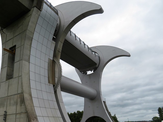
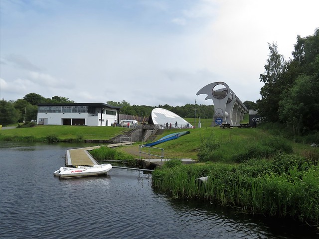
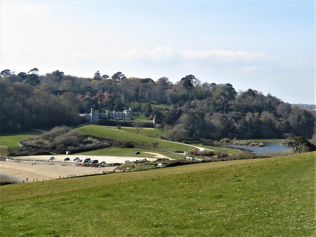
The Falkirk Wheel is a strange and beautiful object. This futuristic boat-lift on the Forth & Clyde Canal was opened in 2002 to raise boats up to the Union Canal, which runs all the way to Edinburgh.

The Wheel resembles two enormous birds side by side, each with a hooked beak and a hollow eye. From the canal bank below I watched, fascinated, as with a greasy whine and a series of loud clanks the bird heads tilted slowly backwards in unison and a big pink pleasure-boat rose with slow dignity to the upper level where it chuntered off and out of sight.

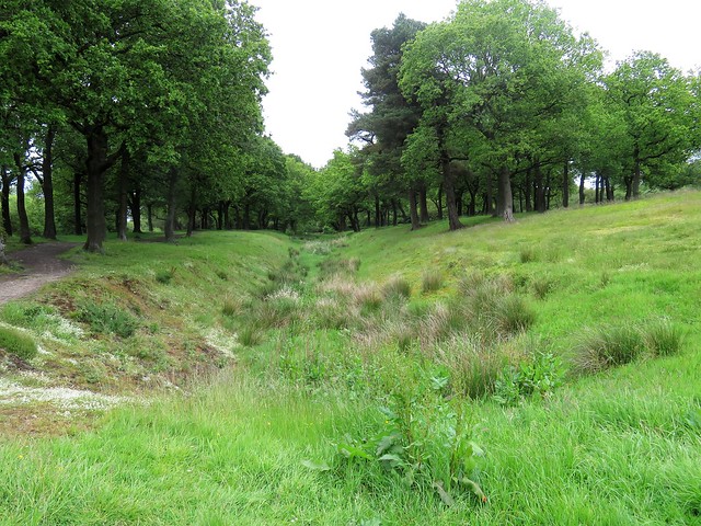
Time for a leg stretch. I set off west along the line of a remarkable Roman monument, the Antonine Wall. This earthen rampart was built between the Clyde and the Forth across the narrow neck of Scotland in AD 142-3, twenty years after Emperor Hadrian built his wall between Tyne and Solway a hundred miles to the south.

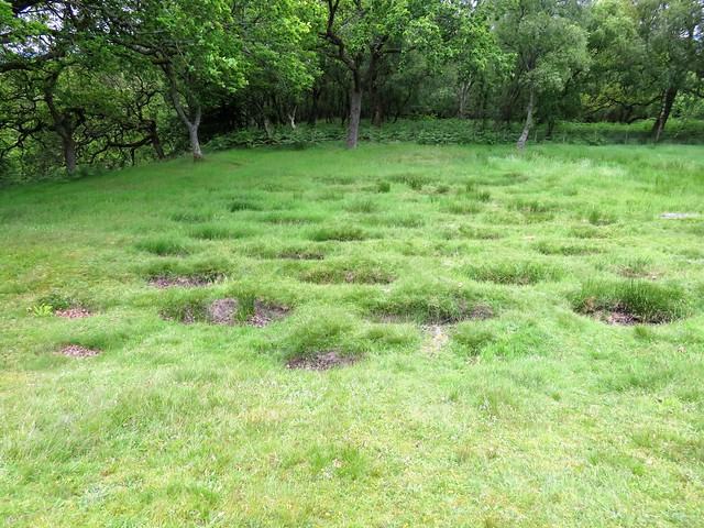
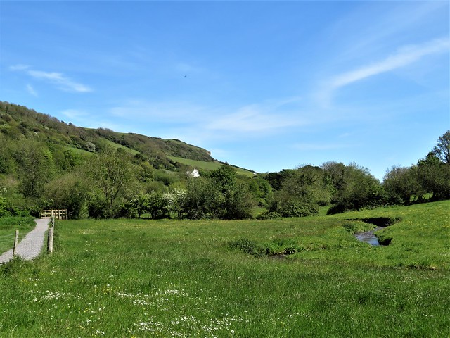
A mile or so along the valley, the Antonine fortification of Rough Castle lay ringed by trees. At the gate a notice exhorted dog walkers: ’Cura ut canis excrementum in receptacula in area vehiculorum posita depones.’ This dog latin wasn’t too hard to decipher.

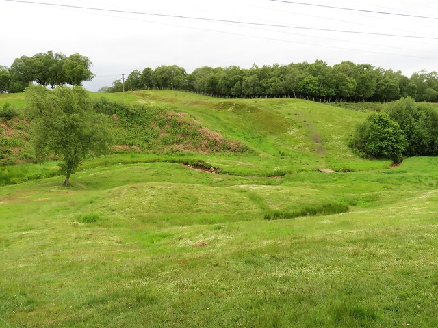
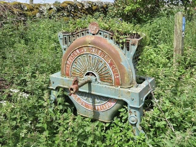
Grassed-over lumps and bumps showed the location of principia (headquarters), granary, barracks and commander’s house. Analysis of latrine waste shows that the soldiers ate a good mixed diet of bread, porridge, bacon, shellfish, cheese and vegetables. But it was a hard life in harsh conditions, the weather often foul, the discipline rigid.

What’s more, the Picts could be expected at the gates at any time. Just outside the fort the ground is pitted with dozens of little oval depressions. These are lilia, or pit traps. A sharpened stake was fixed in the bottom, the pit filled with rushes or decayed leaves, and the charging attacker was left to stumble in and skewer himself.

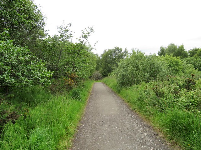
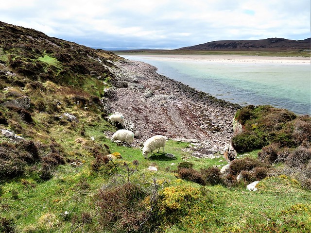
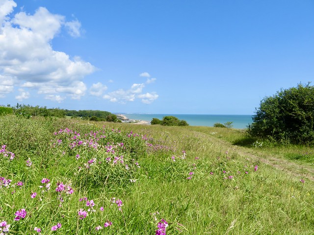
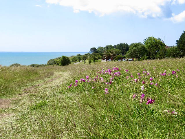
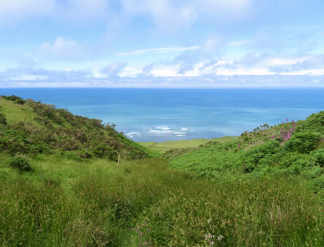
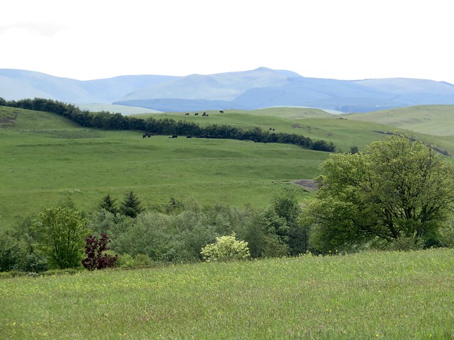
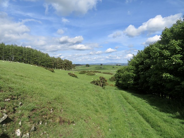
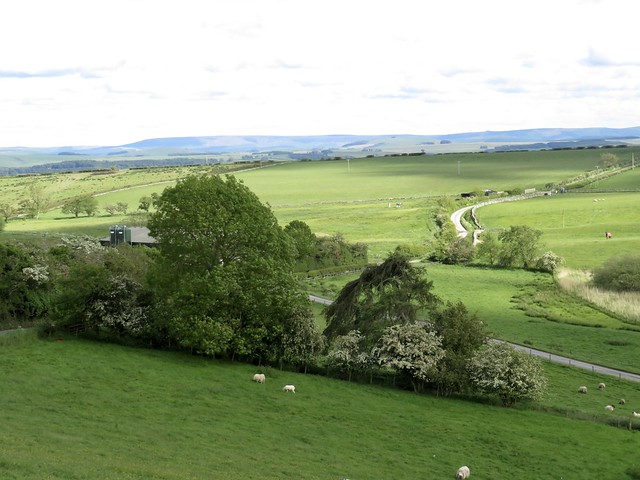
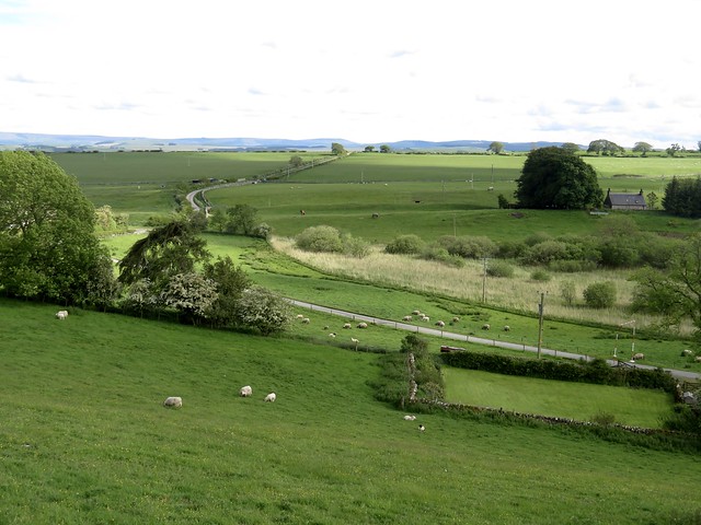
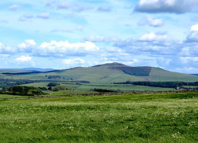
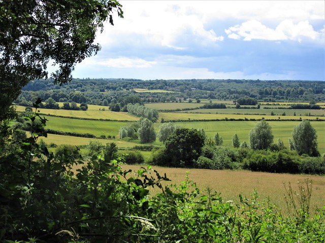
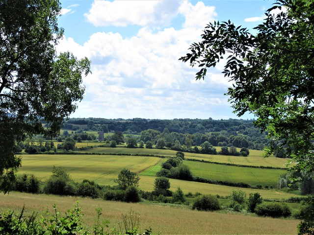
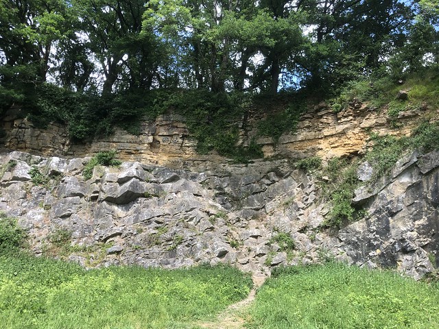
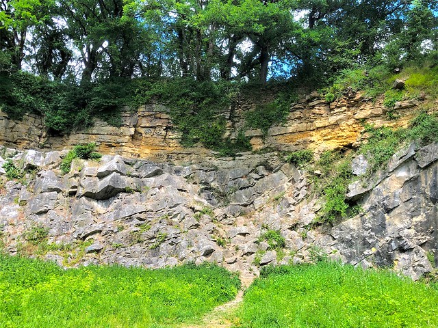
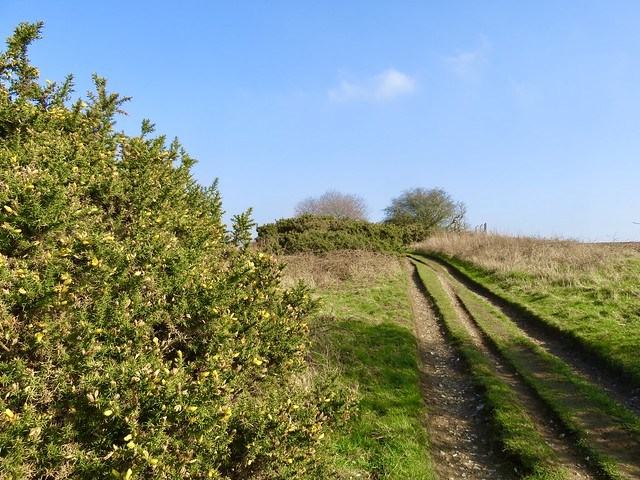
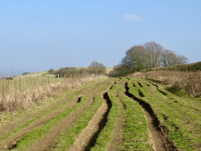
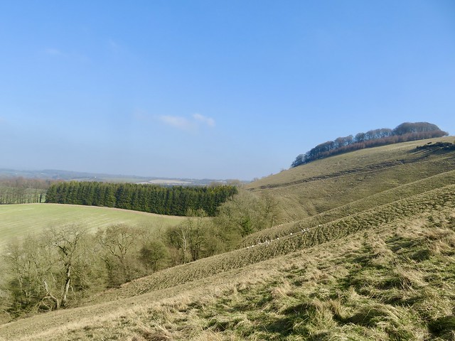
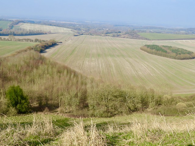
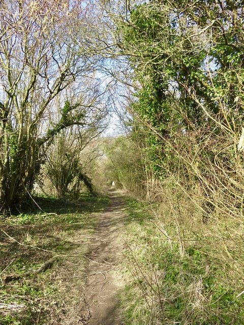
I left the grassy old fort and followed the line of a Roman military road, flanked by an avenue of beech trees whistling in the wind. To the north, the far outlines of the Ochil Hills; southward, the jagged grey ramparts of the Bonnybridge fireclay mine’s spoil heap, a reminder of this valley’s industrial past.

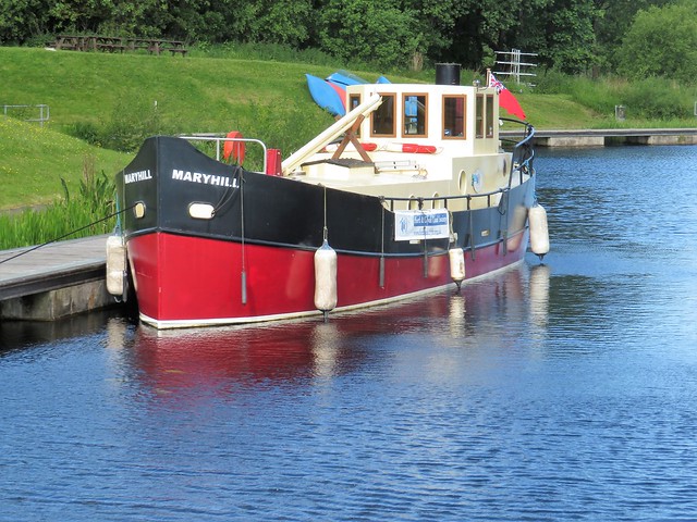
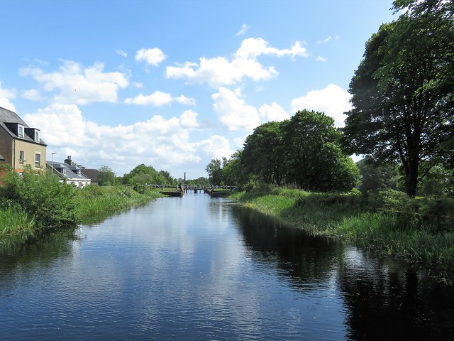
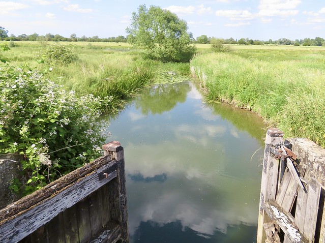
At Bonnybridge I climbed steps to the Forth & Clyde Canal and sauntered back along the towpath to Falkirk, while moorhens skittered across the water and narrowboat admirals saluted me with beer glass in hand.

How hard is it? 5 miles; easy; waymarked trail and canal towpath

Start: Falkirk Wheel car park, Ochiltree Terrace, Falkirk FK1 4LS (OS ref NS 854804)

Getting there: Bus 1 from Falkirk
Road: Signed from A803 (Falkirk-Bonnybridge)

Walk (OS Explorer 349): From turning circle behind Visitor Centre head uphill on paved path (‘Union Canal, Antonine Wall’, then ‘Rough Castle, Tunnel, Union Canal Viewpoint’). Up to viewpoint between tunnel and top of Wheel. Return downhill to first fingerpost; left (‘Rough Castle’); follow ‘John Muir Way/JMW and ‘Rough Castle’. At Rough Castle (846799) follow clear track through fort and on west. 300m beyond fort, through gate (839797); on beside wall along track, then lane, then road. In 1¼ miles, on left bend by No. 5 and ‘Bonnymuir Place’ label (826801), keep ahead on path to tunnel under Forth & Clyde Canal. At Bridge Street, right (824801); right along Main Street; in 150m right up steps to canal (827803); left to Falkirk Wheel.

Lunch: Café Falkirk Wheel

Accommodation: Premier Inn Falkirk Central, Main Street, Camelon, Falkirk FK14DS (0333-777-7934, premierinn.com)

Falkirk Wheel: 01324-619-8888; scottishcanals.co.uk/falkirk-wheel

Antonine Wall: antoninewall.org

Info: visitscotland.org

 Posted by at 01:40
Aug 202022


First published in: The Times Click here to view a map for this walk in a new window
Achnahaird Bay 1 Achnahaird Bay 7 Achnahaird Bay 2 Achnahaird Bay 3 Achnahaird Bay 4 Achnahaird Bay 5 Achnahaird Bay 6 Garvie Bay 1 Camas a' Bhothain ejecta studded with papilli from the asteroid collision 1.2 billion years ago stromatolite in the middle foreground - Europe's oldest life form otter at play otter at play 2 drinker moth caterpillar? Stac Pollaidh beyond the Garvie bridge

The rugged peninsula of Coigach in north-west Scotland is famous for its wild beauty and its geological treasures. Peter Drake, sea fisherman and our companion on this walk, was a prime mover in establishing the 45-mile Coigach Geotrail round the shores of the peninsula.

Orange bladder wrack lay draped on the slabs of ancient red sandstone fringing Achnahaird Bay. Cast up here we found a knob of Lewisian gneiss, banded in pale and dark grey, three thousand million years old. This rock was formed when the Earth’s crust had not even properly solidified.

On the grassy headland an otter was leaping and bounding, a lithe shape full of energy, suffused with joy in its own existence. Later we saw it rolling on its back in the bay, crunching up a fish held between its front paws.

In the bay of Camas a’ Bhothain stood a ruined salmon bothy. Beyond ran a layer of rock in red-grey sheets pressed close together. ‘The oldest inhabitants of Coigach,’ stated Peter. This very finely layered limestone is a stromatolite, a structure created by microbes that clung to rocks around the shore of a lake some thousand million years ago. It represents the earliest form of life yet discovered in Europe.

On the shore beyond the bay, a smear of red rock told a dramatic story. Around a billion years ago an asteroid measuring half a mile across slammed into the planet at 25,000 miles per hour, a dozen miles away from where we stood. The shock of the impact liquidised the Earth’s crust in the vicinity and spattered it far and wide in a splash of ejecta or molten rock.

Stuck in the ejecta we found greenish fragments of the asteroid itself, and a sprinkling of tiny globules like acne on a teenage face – the spherical lapilli or droplets of molten rock that cooled and hardened as they fell out of the sky from the massive volcanic cloud which billowed up above the site of the strike.

We rounded the corner of the peninsula and found ourselves staring at an eastern skyline clouded but magnificent – the mountains of Inverpolly, horizontally striped sandstone some thousand million years old, all that’s left of the landscape that lay here before the giant glaciers of the Ice Ages scraped most of it away. Cloud filled Inverpolly and streamed in a thin gauze from the tall butte of Stac Pollaidh and the twin horns of Suilven. It was a magnificent spectacle to accompany the homeward hike over bog and heather.

How hard is it? 6½ miles; moderate; rough boggy walking, with boulders and slippery rocks underfoot in places

Start: Loch Raa car park, Achnahaird IV26 2YT approx. (OS ref NC 021123)

Getting there: Bus 811 (Ullapool-Achduart)
Road – Achiltibuie is signed off A835 Elphin-Ullapool road; Loch Raa car park is about 2½ miles north of Achiltibuie.

Walk (OS Explorer 439; downloadable trail map and notes at visitcoigach.com): From Loch Raa car park, head north along west side of Achnahaird Bay, either on shore or along sheep path near cliffs. In 1¼ miles cross deer fence (023142; stile). Follow coast to salmon bothy ruin in Camas a’ Bothain (029145). Continue across neck of Rubha a’ Choin peninsula (034146). Along rocky beach; up headland and turn right to cross deer fence (038142). Continue south down Garvie Bay, then along west bank of river to road bridge (040129). Right for 1½ miles to car park.

Lunch: Picnic from Achiltibuie Stores (01854-622496); Summer Isles Hotel (01854-622282; summerisleshotel.com)

Accommodation: Acheninver Hostel (comfortable sleeping pods) – 07783-305776; acheninverhostel.com

Info: visitcoigach.com; nwhgeopark.com; visitscotland.com

 Posted by at 06:30
Jul 232022


First published in: The Times Click here to view a map for this walk in a new window
lush landscape of Fen Drayton Lakes 1 lush landscape of Fen Drayton Lakes 2 lush landscape of Fen Drayton Lakes 3 lush landscape of Fen Drayton Lakes 4 lush landscape of Fen Drayton Lakes 5 lush landscape of Fen Drayton Lakes 6 beautiful bellflowers amid the lush landscape of Fen Drayton Lakes lush landscape of Fen Drayton Lakes 7 lush landscape of Fen Drayton Lakes 9

It took a noisy age for the car to crunch down the obscure gravelly byroads leading to Fen Drayton Lakes Nature Reserve. Once out along the trails that weave among these former gravel pits, there was bird squeal and chatter from every thicket and reed bed.

Dunnocks chip-chipped away in the dogrose hedges, coot squawked from the reedy fringes of Ferry Lagoon, and a blackcap unwound its melodious string of a call from a hiding place in the branches of a massive, many-stemmed willow.

The RSPB sees that the trail paths are well mown, and the grass and undergrowth are kept flattened by the boots of thousands of birdwatchers and strollers. This sunny afternoon, gravelly patches were smeared over by bright yellow stonecrop flowers. A new hatch of damselflies made the most of the hot sunshine, their electric blue needle shapes hovering delicately over nettle beds and grass for a second or two, then vanishing, to rematerialize three feet away

A stretch of paths led us beside the sinuous Great Ouse, where a bare-chested lad proudly helmed his hired river cruiser. Glossy brown cattle munched dewlap-deep in dense grass pasture, flicking their tails rhythmically against the flies. A spotted dog stood guard over a pair of fishing poles while its master caught forty winks in the shade of an umbrella.

We turned off along the banks of a navigation drain thick with yellow water lilies. From the reeds on Swavesey Lake a grasshopper warbler issued a song like the buzz of a fisherman’s reel. With distant cuckoo calls as a farewell we left the lake reserve and headed for Amen Corner.

In times past the fen village of Swavesey had more than its share of religious Nonconformists. Primitive Methodists, Ranters, Quakers, and a raft of Baptists – Unitarians, Trinitarians, Particular and Strict, among others. After their clandestine meetings further out in the wilds, many of these dissenters would gather at the piece of ground called Amen Corner, just outside the village boundary, for a final prayer and a last ‘Amen’.

Today a peaceful little Nonconformist graveyard lies here, next to the village allotments. We set course past Swavesey windmill, topped with an exotic onion dome, and were back among the lakes of Fen Drayton in time to hear the evening chorus from briar and bush, and to watch crook-winged common terns diving headfirst into the meres for their last catch of the day.

How hard is it? 4½ miles; easy; well maintained, level paths

Start: RSPB Fen Drayton car park, Holywell Ferry Road, Fen Drayton CB24 4RB (OS ref TL 343699)

Getting there: Fen Drayton Reserve is signposted off Fen Drayton Road between Fen Drayton and Swavesey (A14, Jct 24)

Walk (OS Explorer 225; trail map downloadable at rspb.org.uk/fendraytonlakes): From car park, left along Holywell Ferry Road (track). In 500m, right (342704, ‘Riverside path’). In ¾ mile, just before footbridge, right (352701, ‘Trails’). In 300m, left across Covell’s Drain, right along embankment. At gate, left (353696, ‘Swavesey’). In 400m cross busway (356695; take care, buses drive fast!) In 700m at Amen Corner cemetery (359690), right past Swavesey Windmill (353688). In ⅔ mile cross roadway (350686) and on. In ⅔ mile cross bends of a farm road and keep ahead on footpath (341686). In 200m, right (339686, ‘Public Byway’). Keep ahead where track bends right (340690). In 100m pass car park and on. In 650m recross busway (339696). In 500m, right (339700, ‘Car Park 250m’) to main car park.

Lunch: Picnic

Accommodation: Golden Lion, Market Hill, St Ives, Cambs PE27 5AL (01480-412100, thegoldenlionhotel.co.uk)

Info: Fen Drayton Lakes RSPB Reserve (01954-233260, rspb.org.uk/fendraytonlakes)

 Posted by at 01:52
Jul 162022


First published in: The Times Click here to view a map for this walk in a new window
Coast path near Kingsdown The beach at Kingsdown coast path along the cliffs between Kingsdown and St Margaret-at-Cliffe 1 path over the downs coast path along the cliffs between Kingsdown and St Margaret-at-Cliffe 2 St Margaret’s at Cliffe 1 Coast path, looking to the Dover Patrol memorial 1 St Margaret’s at Cliffe 2 Coast path, looking to the Dover Patrol memorial 2 St Margaret’s at Cliffe 3

A glorious day of blue sky over the coast of East Kent. At Kingsdown the white chalk cliffs shone in clear light polished and sharpened by sea and sunshine. Along the pebbly shore stood old iron winches, rusted into immobility by salt-laden water and winds. Decades have passed since the village fishermen used them to haul their boats up the steeply shelving beach.

We climbed the steps at the end of Oldstairs Bay and set out on the cliff path with a stiff north breeze pushing us along. A kestrel balanced on the wind, infinitely fine adjustments of wings and body keeping it in place. Looking back, we saw a line of white cliffs curving east beyond the murky waters of Pegwell Bay, Ramsgate’s buildings lying low along the shore, the red roofs of Broadstairs cresting their rise of ground beyond.

The green sea heaved gently below, reflecting a light clear enough for us to pick out the coast of France some twenty miles off – field shapes, woods, radio masts and a long pale line of sandy beaches. Air balloons, stringbag aeroplanes, greasy swimmers and long-range shells from coastal guns – all have crossed that narrow stretch of sea, but never an invading army for the past thousand years.

One dastardly enemy of England did launch a deadly stroke against the capital from these Kingsdown cliffs – arch-villain Sir Hugo Drax with his ogre’s-teeth and sweaty ruin of a face. Lucky for all of us that James Bond was on hand to frustrate his knavish tricks and redirect the London-bound Moonraker rocket to plunge to its destruction in the sea.

Ian Fleming, Bond’s creator, had a holiday home at St Margaret’s-at-Cliffe, just along the coast. We came by the spot where Fleming had Drax’s men collapse the cliff onto 007, near a tall obelisk commemorating the brave Great War deeds of the Dover Patrol. Just beyond we found a magnificent view over the tight, cliff-encircled bay that cradles St Margaret’s, and a zigzag of steps running down to the pebbly shore.

The homeward path led across inland fields sown with winter cereals, a landscape of long parallel valleys and tufts of woodland, with the sea diminished to a green backdrop caught in a vee between one slope and the next.

How hard is it? 6¾ miles; easy; cliff and field paths

Start: Cliffe Road, Kingsdown CT14 8AH (OS ref TR 380482).

Getting there: Bus 82 from Deal
Road: Kingsdown is signed off A258 between Walmer and Dover.

Walk (OS Explorer 138): Coast Path south for 2¾ miles to St Margaret’s-at-Cliffe. ½ mile past Dover Patrol monument, left down steps to shore (369446; yellow arrow). Right to seafront. Up road beside Coastguard PH (368445). On right bend, ahead up steps (367444, fingerpost/FP). Fork right at top to road (366444); right, in 150m, fork left on Hotel Road. In 100m, left (368445, FP) up steps; on up Cavenagh Road; on up grass path (FP) to The Droveway (366448). Right; follow road for ⅔ mile to Bockhill Farm. 150m beyond farm, left at path junction (372455). Keep ahead up field margin path; in 600m it bends sharp left, through kissing gate; in 100m, right down tarmac track (367459, cycleway No 1). In 400m pass tall pole on left (368464); in 100m, left through hedge; half right on path across field. In 1 mile keep left of houses (373478) to road (374481). Left; right down Upper Street into Kingsdown.

Lunch: Coastguard PH, St Margaret’s, CT15 6DY (01304-853051, thecoastguard.co.uk)

Accommodation: Five Bells, Ringwould CT14 8HP (01304-364477, fivebellsringwould.co.uk)

Info: Dover TIC (01304-201066)

 Posted by at 03:40
Jun 252022


First published in: The Times Click here to view a map for this walk in a new window
view north along the Wales Coast Path stile on the Wales Coast Path looking downhill to the Wales Coast Path 1 looking down on Mynachdy’r Graig, ‘the monks’ house on the rocks’ crumbling cliffs beyond Ffos-lâs farm coastal pastures approaching Mynachdy’r Graig, ‘the monks’ house on the rocks’ view north along the Wales Coast Path 3 view north along the Wales Coast Path 2 looking downhill to the Wales Coast Path 2

A cool, showery day over the hills of mid Wales, but a strip of blue sky and an onshore breeze were forecast for the coast of Cardigan Bay.

Clouds like grey cannon smoke rolled across the hilltops inland of Blaenplwyf. The Friesian cattle at Rhosfawr farm stared moodily at us as we passed. One cow was wearing an e-bell on her collar, designed to warn her away from the electric fence around the pasture.

In the rushy fields approaching Pentre we spotted a hornet in the grass, its wings too soaked with the morning’s rain to allow it to fly. Two dogs came barking to the farm gate, soon retiring after making their point. We followed a stony lane over the ridge and down towards a royal blue sea.

This section of the Wales Coast Path runs along cliffs of spectacular formation, undercut by the sea, bulging out in dark brittle rock topped with even more shaky clay. The string of coastal farms is threatened with ruin as the clifftops erode and crumple.

In medieval times this coast belonged to the rich and powerful Strata Florida abbey. Mynachdy’r Graig, ‘the monks’ house on the rocks’, was one of the abbey’s granges or outlying farms. Today, abandoned as a working farmhouse and less than forty metres from the ever-advancing cliff edge, its plain square dwelling and slate-roofed sheds are in the care of the National Trust.

Everything was utterly quiet and peaceful, the only sound the gentle wash of the sea on the rocky platform at the feet of the cliffs. A bevy of young choughs went cackling by, swooping like fighter planes. Outcrops beside the coast path were rock gardens of stonecrop, bell heather and wild thyme.

The path rose and fell for mile after mile, the cliffs and promontories of Cardigan Bay spread out from the Llŷn peninsula down to Pembrokeshire. As we stopped to admire the view, a big bird of prey came gliding by far below. Too bulky for a kite, too masterful in flight to be anything other than an osprey on a fishing expedition from its base up the coast at the Dyfi Osprey Project.

Its wingtips downturned, an arc of white feathers across its shoulders, it gave not a single flap, just cruised the wind, bigger and more powerful than anything else aloft. A most magnificent spectacle.

How hard is it? 7 miles, moderate one-way coast walk

Start: Blaenplwyf, near Aberystwyth, Ceredigion, Wales SY23 4DJ (OS ref SN 576755)
Finish: Llanrhystud, near Aberaeron SY23 5DQ (OS ref SN 539697)

Getting there: Bus T5 (Aberystwyth – Cardigan)
Road – Blaenplwyf is on A487 between Aberystwyth and Llanrhystud

Walk (OS Explorer 213): From bus stop south along A487. At end of houses, right (boulder, green cabinet) up lane. In 100m through gate on right (573754); keep right of Rhosfawr farm sheds, then right up field track to road (570755). Left; in 100m, right (stile, yellow arrow/YA) to road at Pentre (568753). Right; in 50m right up lane beside Llain Bach. In ½ mile, meet Wales Coast Path/WCP near Ffos-lâs farm (560755). Left on WCP. In 4½ miles, with caravan site in view ahead, descend long slope; through gate (535705), right (WCP) to kissing gate, then fingerpost (534703). Left off WCP here; follow YAs to Banc (539703). Down drive; in 50m right (gate, YA), anticlockwise round scrub patch to stile in corner (YA); down scrubby hillside with hedge on left. In 200m hedge turns right; left over stile in corner here (539701, YA); right down green lane to road (538699). Left to A487 and bus stop in Llanrhystud. Bus return to Blaenplwyf.

Lunch: Black Lion, Llanrhystud SY23 5DQ (01974-202338, @blacklion.llanrhystud.9) 

Accommodation: Aelybryn, Llangwyryfon, Aberystwyth SY23 4EX (01974-241744, aberystwythbedandbreakfast.co.uk)

Info: walescoastpath.gov.uk; visitwales.com; dyfiospreyproject.com
@somerville_c

 Posted by at 02:14
May 212022


First published in: The Times Click here to view a map for this walk in a new window
Cross Border Drove Road - hilly landscape Wilton Lodge Park Cross Border Drove Road Cross Border Drove Road 2 Cross Border Drove Road 3 old root cutter by the path towards the Border Abbeys Way Border Abbeys Way 1 Border Abbeys Way 2 hilly view east from the Border Abbeys Way

The copper-coloured River Teviot runs curving past the tall old mills of Hawick, chasing itself down sloping weirs and sluicing through boulder shallows. The power of river water brought industry to Hawick long before steam, in the manufacture of woollen garments famous for their fine texture.

These days the past glories of the sprawling Teviotdale town are spelt out in fine old sandstone public buildings, great blocks of former mills and the beautifully laid out Wilton Lodge Park beside the river. If the strollers we met among the lawns and flowerbeds looked a little jaded, they could blame it on the Common Riding, only just finished, an ancient summer festival in which any local capable of keeping their saddle joins the Callants and other horseback revellers in beating the bounds of the town at the canter, then celebrating madly.

We climbed steps by a gushing waterfall, and took to the old drove road of Whitehaugh Lane that climbed by steady stages northward into a high green upland. Rain showers and sun splashes hunted each other across a landscape of hummocky little hills striped by stone walls, abruptly rising and falling on either hand.

At Whitehaugh we crossed the Cala Burn chuckling among mossy boulders. In the higher pastures sheep fastidiously selected their mouthfuls of grass among sedges, and great black and brown slabs of cattle stood like stone carvings on the skyline, silhouetted against bosomy silver clouds that battled it out with emergent patches of blue sky.

At the top of the lane the path swung east and made off across a wide moor, rough and tussocky among heather tufts and boggy patches, dotted with pink shell-shaped petals of lousewort and the blue flowers of insectivorous butterwort held aloft on black stalks as slender as hairs.

The Borders Abbeys Way brought us home downhill, a winding lane with a most sensational view ahead of the far off Cheviots spread across the English Border in a series of waves of green, purple and ochre. A sight to make a galloping Callant draw rein and grin with pride.

How hard is it? 9 miles; easy; lanes and upland paths

Start: Common Haugh car park, Hawick TD9 7AN (OS ref NT500146)

Getting there: Bus 20 (Kelso-Hawick)
Road: A7 from Carlisle; A698 (Kelso); A68, A6068 (Newcastle)

Walk (OS Explorer 331): Left along Victoria Road. In 200m into Wilton Lodge Park (‘Riverside Path’). In 400m, right by war memorial (493145, ‘path to waterfall’). Up steps to road (492146); left. At T-junction, left (‘Romans & Reivers Route’). In 150m, right up Whitehaugh Road (490145). In 1¾ miles, cross bridge by ‘Whitfield & Crurie’ sign (476165); in 100m, left (blue arrow/BA, ‘Hawick Circular Riding Route’/HCRR, ‘Cross Borders Drove Road’/CBDR) up Whitehaughmoor drive.

In 40m, fork right (BA, CBDR). In ¾ mile through gate (BA, 470176, HCRR); on beside fence; in 250m, right through gate (469179, BA, HCRR). Follow grassy track east across moor. In 1 mile, on Hayside, approaching Drinkstone Hill trig pillar, BA on waymark post points left (480183), but keep ahead down to gate. Half right across field; left along plantation edge to gate in wall (485183), don’t go through, but bear left along wall to gate (486184) to turn right along Borders Abbeys Way.

In 2 miles, fork right at gate of St Andrew’s (496161); in 250m, just before right bend, left (493159) on concrete track to electricity substation. Right (kissing gate, yellow arrow, ‘Hawick Paths’/HP) along substation fence, then follow HP waymarks past Kippilaw Moss (492155), over saddle between hills, down to cross Dean Burn (488150), up to road (486148). Left to Hawick.

Lunch: Santa Marina restaurant, Teviot Crescent, Hawick TD9 9RE (01450-378773, santamarinarestaurant.co.uk)

Accommodation: The Bank Guesthouse, 12 High St, Hawick TD9 9EH (01450-363760, thebankno12highst.com) – cheerful, full of character.

Info: Hawick Common Riding 2022 (hawickcommonriding.co.uk)
visitscotland.com

 Posted by at 02:08
May 142022


First published in: The Times Click here to view a map for this walk in a new window
looking east from the coast path west of Beer view over Branscombe Mouth from East Cliff Branscombe Mouth and West Cliff path through the meadows to Branscombe Lust, the only surviving Deadly Sin in Branscombe church Branscombe from the path beyond the church coast path towards West Cliff view over Branscombe Mouth from West Cliff 1 view over Branscombe Mouth from West Cliff 2 in Hooken Cliff undercliff 1 looking west from Hooken Cliff undercliff in Hooken Cliff undercliff 2 looking east from the coast path west of Beer 2

The seaside village of Beer was looking particularly good this sunny afternoon from our viewpoint on Beer Head cliffs. The houses huddled close behind their pebbly beach, set between cliffs spectacularly coloured in red, grey and white. Beyond the cove a yellow strand led off east toward the long line of Chesil Beach and the low wedge of the Isle of Portland, blue and misty in sea haze.

Its isolated position and handy nearby caves made Beer a natural haven for smugglers. King of them all was Jack Rattenbury, the ‘Rob Roy of the West’. What a rollercoaster life he enjoyed in the early years of the 19th century. Jack was captured again and again, by the French, by the Spanish, by the excisemen and the press gang. Somehow he managed to return like a bad penny to his native harbour at Beer; usually richer and never the wiser.

We followed the path over the coastal pastures of South Common, past a gaunt old signal tower and steeply downhill to the pebbly beach at Branscombe Mouth.

Just inland, the village of Branscombe curled along its road towards the fortress-like tower of St Winifred’s Church. In the cool interior we found a beautifully carved Elizabethan west gallery, and on the wall nearby a painting made perhaps a hundred years earlier.

Only one of the Seven Deadly Sins depicted has survived – Lust, portrayed by a man with flowing hair under a green cap, and a woman in décolleté with a saucy pillbox hat. Gazing amorously at one another, they seem quite undeterred by the spear being rammed through their midriffs by a half obliterated devil.

A fluffy cat came to help us with our picnic on the bench outside. Then we climbed a steep path up the bank opposite, through woods scented with wild garlic, to reach the coast path and a steep descent to Branscombe Mouth once more.

In March 1790 a mighty landslip caused Hooken Cliff, just east of Branscombe Mouth, to crash seaward. The homeward path led through the undercliff created by the slip, a tremendously lush, ferny ‘lost world’ where whitethroats and thrushes sang their evening melodies among spires and towers of rock.

The cliff faces over our heads were banded in brilliant white chalk, dusky red mudstone and greensand. Looking back from the top of the climb we had a last glimpse of the westward coast, the sea sparkling in late sun, the cliffs marching away in red sandstone slopes to be lost in the evening sea fog along the distant shores of Tor Bay.

How hard is it? 6 miles; strenuous; many steep steps, some unguarded cliff edges.

Start: Cliff Top car park, Common Hill, Beer, EX12 3AQ (OS ref SY 227888)

Getting there: Bus 899 (Sidmouth-Seaton), Mon-Sat
Road – Beer is on B3174 (signed off A3052, Lyme Regis-Sidford)

Walk (OS Explorer 115, 116): Left up road. In 400m fork left (224887, ‘Bridleway’). Follow Coast Path to Branscombe Mouth. Many steps down East Cliff. At foot of West Cliff, right (207881, ‘Branscombe Village’) to Branscombe. Left at road (198887) to church (196885). Left through churchyard, down to cross stile on south boundary (yellow arrow). Steeply up steps to Coast Path (196882). Left to Branscombe Mouth. Up first field of East Cliff; keep ahead at fingerpost (210881, ‘Coast Path Beer’) between chalets and on through undercliff (narrow path, slippery in places, unguarded edges, many steps). In 1 mile climb to clifftop path (222880); right to car park.

Lunch: Smugglers Kitchen, Fore St, Beer EX12 3JF (01297-22104, thesmugglerskitchen.co.uk)

Accommodation: Bay View, Fore St, Beer EX12 3EE (01297-20489, bayviewguesthousebeer.com)

Info: beer-devon.co.uk

 Posted by at 04:37
Apr 302022


First published in: The Times Click here to view a map for this walk in a new window
Mells - St Andrew's Church and Mells Manor countryside near Mells 1 countryside near Mells 2 Fussell's Ironworks 1 Fussell's Ironworks 2 Mells Stream, entering Vallis Vale De La Beche's Unconformity - golden Jurassic oolitic limestone capping grey Carboniferous limestone 1 De La Beche's Unconformity - golden Jurassic oolitic limestone capping grey Carboniferous limestone 2 Fussell's ironworks - arches

There was a feeling of eternal spring on this glorious sunny morning in the Arts & Crafts village of Mells. Toddlers played in the Mells Stream. Even the cattle in the fields looked fabulously clean. We followed a bridleway eastward through Wadbury Valley, past hollows and great stone walls pierced with round and square holes, arches, deep sluices of channels, side falls and rapids – the remnants of the once-mighty Fussell’s ironworks that brought prosperity and industrial clatter to the green valley from the 1740s onwards.

A baby chaffinch squatted on a hazel branch, its parent hovering in mid-air like a humming bird as she crammed insect morsels into its open beak. A nuthatch perched upside down on a sycamore trunk, head bent back as it glanced this way and that. The river curved and forked, dwindled and swelled, while from the tangle of foliage and ferns came a constant stream of warbler and wren song.

Children splashed in the shallows. At Bedlam a boy with a shrimping net showed us his catch – two big crayfish six inches long, scuttling in and out of the light round the bottom of his bucket, claws extended in front of them. Beyond Bedlam the river swung off into Vallis Vale, past caves with twisted rock strata.

We were lucky to stumble upon De La Beche’s Unconformity. It lay behind a screen of bushes on an unmarked path, one of 19th-century UK geology’s landmark sites, a lightbulb moment of understanding about how the world was really made. A thick layer of yellow Jurassic Inferior oolitic limestone lies horizontally on top of a steeply inclined grey mass of Carboniferous limestone, fitting onto it like a cap. Yet there’s a gap of 170 million years between the two depositions. Unconformities like this helped pioneering geologists like Henry De la Beche to understand that the material that composes rocks was not laid down in one slow, smooth process, but a series of upheavals, collisions and erosion.

We wandered back along the East Mendip Way to Bedlam. Here we climbed up out of the valley and over a green ridge to find the long straight track of the old Frome-Radstock railway line, now the Collier’s Way cyclepath. We followed it west on a high embankment where the rusty old rails accompanied us, saplings growing up between them, concrete sleepers piled aside.

A short road section along Conduit Hill, and we were walking a wheatfield path toward the tower of Mells church, seemingly adrift in a sea of corn and newly mown grass.
How hard is it? 8 miles; easy; riverside and old railway paths

Start: Talbot Inn, Mells, Frome BA11 3PN (OS ref ST 728492)

Getting there: Bus 184 (Frome-Midsomer Norton)
Road: Mells is signed from A362 near Buckland Dinham, between Frome and Radstock.

Walk (OS Explorer 142): Left along street past shop. Left (730490, ‘Great Elm’). In 250m right (733490, bridleway) along Wadbury Valley beside Mells Stream. In ⅔ mile fork right (743491, ‘Wyvern Way’). In ⅓ mile join East Mendip Way/EMW (748491); follow past Bedlam for ⅔ mile. Where EMW turns right over bridge (755491), turn left; in 50m cross open space; keep ahead (narrow, unsigned path) through bushes to old quarry/De La Beche Unconformity (756492). Return along EMW; in ¼ mile, right across river in Bedlam (754495); up roadway to road (752495). Dogleg right/left across; stile (fingerpost), field path, then road; left along Colliers Way cyclepath (751498). In 1½ miles, left at Conduit Bridge (730506) along road. In 650m on left bend, ahead (728500); field paths to Mells.

Lunch/Accommodation: Talbot Inn, Mells (01373-812254, talbotinn.com)

Info: mellsvillage.co.uk

 Posted by at 01:36
Apr 162022


First published in: The Times Click here to view a map for this walk in a new window
Looking down on Vault Beach Coast path approaches Vault Beach small copper butterfly looking back on Gorran Haven coast path winds towards Vault Beach the lone house on Vault Beach descending to Vault Beach Vault Beach common lizard pretends it's a log looking back to rugged promontory coast path through the gorse Caerhays Castle behind Porthluney Cove

Looking back from the coast path as we climbed out of Gorran Haven, we saw the old pilchard-fishing port as a tumble of solid stone houses, whitewashed under grey slate roofs. A bold swimmer in a red bathing dress was just stepping gingerly into the icy green shallows of the harbour.

A massive L-shaped granite breakwater spoke of the village’s past; the present lay in plain view along the clifftops opposite, a flotilla of modern houses with glass walls looking seaward.

The path ran south to Maenease Point along banks of primroses. An astonishing display of violets, too, thickly carpeting the slopes in shades ranging from deep purple to the palest blue. White elbowed into the colour contest in the shape of stitchwort, fat-bladdered sea campion, and the hanging bells of three-cornered leek.

A flowery coastal spring walk in a thousand, up and down along the cliffs by way of flights of steps that soon had my knees complaining. A catamaran idled past with a faint putter of engines, while further out to sea a little scarlet trawler lay at work under a swirling cloud of herring gulls.

It was a day for walking slowly, stopping often to look at what was happening right under our noses. Congregations of St Mark’s flies had just hatched, the large black males trailing their legs like seaplane skids as they circled the flowering gorse bushes in jerky flight, the females crouched motionless below on the bright yellow petals.

A great black-backed gull, the bully of the coastal skies, emitted harsh barks like an over-excited terrier as it showed an intruding buzzard out of its territory. In the gorse a great outbreak of twittering among the goldfinches feeding there, followed by a deathly silence, gave warning of a kestrel that floated in slow circles over the slopes, head down as it looked for the ultraviolet scent trails left by voles, or the sudden movements of small birds.

The cliff path skirted the long curve of great sand at Vault Beach, a young couple with their dog the only occupants this morning. Just beyond the bay we crossed through the bushy rampart of The Bulwark, an Iron Age earthwork built to seal off the outer extremities of Dodman Point’s blunt-nosed promontory.

From the big granite cross that makes a seamark out at the tip of the headland we looked south to misted lines of cliffs, south as far as the long bar of the Lizard, north to Nare Head and the slanted sea stack of Gull Rock. On the northern skyline marched the Cornish Alps, tall conical spoil-heaps of the declining china clay industry, their dazzling whiteness now greening over.

More steps, more clifftop rambling. An ice-cold paddle in the surf on deserted Hemmick Beach, then on past the jagged rock pinnacles at Lambsowden Cove, and down through the sycamore woods to the broad sands of Porthluney Cove under the battlemented walls of Caerhays Castle.

How hard is it? 5 miles; moderate coast walk; some steps and steep sections

Start: Gorran Haven, near Mevagissey PL26 6JG (SX 013416)

Finish: Caerhays car park, Porthluney Cove PL26 6LY (OS ref SW 974413)

Getting there: Bus 471/23 (St Austell)
Road – Gorran Haven is signposted from Mevagissey (B3273. from A390 at St Austell)

The Walk (OS Explorer 105): At Gorran Haven harbour, turn right and follow South West Coast Path for 5 miles to Porthluney Cove. Return by pre-arranged taxi (Mevagissey Cars, 07513-774529, £16 approx.)

Lunch: Caerhays Beach Café, Porthluney Cove (01872-501115)

Accommodation: Llawnroc Hotel, Chute Lane, Gorran Haven PL26 6NU (01726-843461, thellawnroc.co.uk)

Caerhays Castle: visit.caerhays.co.uk

Info: visitcornwall.com, southwestcoastpath.org.uk

 Posted by at 01:09
Mar 052022


First published in: The Times Click here to view a map for this walk in a new window
Ancient track along the downland ridge near Inkpen Hill 1 path up the grazing slopes of Ham Hill Ancient track along the downland ridge near Inkpen Hill 2 grazing slopes of Ham Hill 1 path up the grazing slopes of Ham Hill 2 Ham village green grazing slopes of Ham Hill 3 path down the rolling chalk slopes below Inkpen Hill Mount Prosperous, sometime home of agricultural reformer Jethro Tull 22 red kites wheeling over the fields near Ham View north from the slopes of Inkpen Hill Green lane to Inkpen

Early mist was sifting away from the Wiltshire downs as we laced our boots on Ham village green. Snowdrops showered the banks of the lanes with white, and wild garlic and celandines were peeping out.

The sun swept up the last of the mist, diffusing a clear light over the hills. A heavy distant thumping, like giants of the upper air pushing their wardrobes around, came from Salisbury Plain where big guns were firing.

Larks sang over the big prairie fields of winter wheat as we started up the steep path to the top of the downs. A raven went tumbling in a barrel roll to impress its mate below. Up on the height of Inkpen Hill a thirty-mile view showed the sheep-nibbled downs and rolling arable fields of the Wiltshire/Berkshire border, patterned this way and that by the plough.

A sunken lane ran east just below the ridge, an ancient trackway sheltered by the lie of the land. Ploughed fields rose to the crest. A pair of partridges went skimming low across the dark furrows, their short wings downcurved for maximum gliding power.

Ahead we caught a glimpse of the ominous T-bar of Combe Gibbet, especially built in 1676 so that the hanged bodies of murderers George Broomham and Dorothy Newman could be displayed as an awful warning to the world at large.

We slanted steeply back down the slope towards a round spinney of dark green conifers set in the pale chalky ploughlands 400 feet below. A prospect that might have been placed specifically for the palette of Eric Ravilious.

Down in the green lane through the fields we found a squirrel skull by the path, as thin and white as paper, its two outsize incisors bright orange. Hips and haws in the hedges were still plump, and we puzzled how they could have evaded the hungry birds of winter.

From Inkpen village Bitham Lane ran west, a flinty holloway in a tunnel of trees. Just before turning off it for Ham, a glimpse to the north showed the handsome country house of Mount Prosperous set in parkland where white horses grazed under a cedar.

Here in the early 1700s Jethro Tull came to live and farm, and it was in these fields that he experimented with a brainchild of his, the horse-drawn seed drill. Tull and his inventions soon ushered in the great agricultural movement that saw muscle power replaced by machinery on the farms, a first seismic shock of the Industrial Revolution that would soon shake the whole world.

How hard is it? 6 miles; easy; one short, steep climb

Start: Crown & Anchor, Ham, Marlborough SN8 3RB (OS ref SU 331630)

Getting there: Bus 20 (Hungerford-Marlborough)
Road – Ham is signed off A338 (Hungerford-Marlborough)

Walk (OS Explorer 158): South along road (‘Buttermere, Andover’). In 500m opposite Manor Farm, left (332625, ‘Mid Wilts Way’/MWW on pole). In ½ mile, right across field (339626, MWW). At foot of down, left on track (340622). In 200m, right (342622), gate, MWW), half left up steep path to gate (344620). Half left to ridge track (346619). Left. In ¾ mile at ring of 6 beech trees, just before dip with fingerpost, left (358621, stile, arrow). 50m past Wigmoreash Pond, left (359622) steeply downhill. Gate at bottom (357623); path north for 1 mile to road (356638). Right; in 250m, left at Inkpen Church fingerpost (357639) past Bitham Farmhouse. On along byway. In 1½ miles, opposite Mount Prosperous gates and drive on right, left (334641) across fields for ⅔ mile to road (333632). Right into Ham.

Lunch/accommodation: Crown & Anchor, Ham (01488-503040, crownandanchorham.co.uk)

Info: Hungerford TIC (01488-692419)

 Posted by at 01:02