First published in: The Times Click here to view a map for this walk in a new window


The River Hamps is a winterbourne, only flowing after winter rains, and on this warm cloudy summer’s day it was a bushy green channel of butterbur leaves smothering the dry stones of its bed.
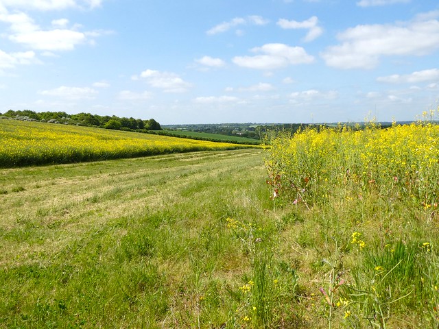
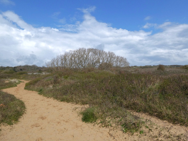
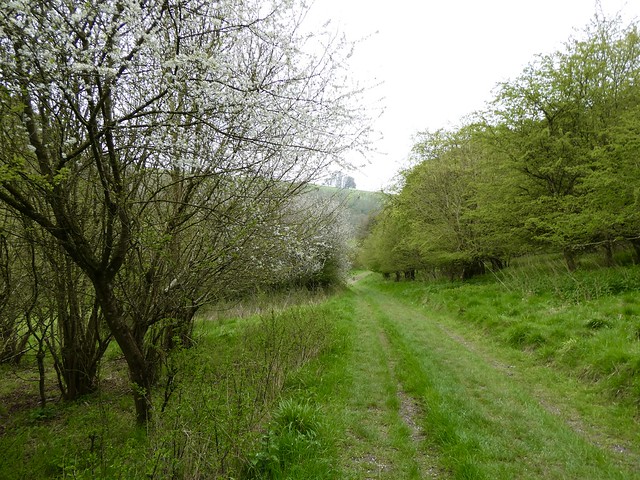
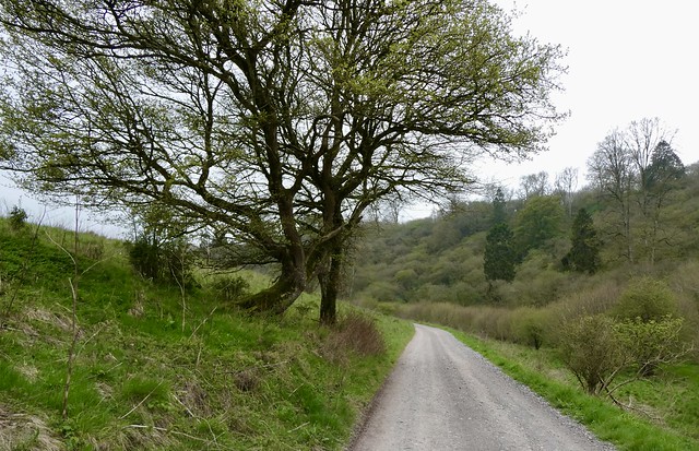
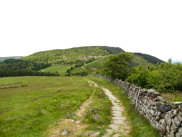
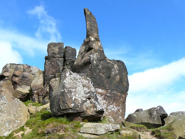
Setting off from humpbacked Weag’s Bridge, I followed the Manifold Way’s cycle path past the looming cliff of Beeston Tor, its grey limestone face seamed with cracks and caves. The path snaked to and fro across the dry Hamps, the verges spattered with yellow rattle and common spotted orchids.
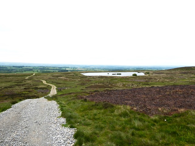
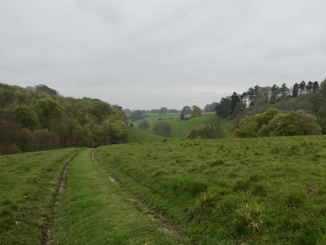
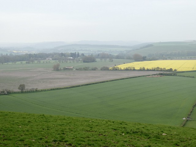
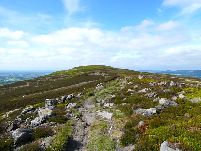
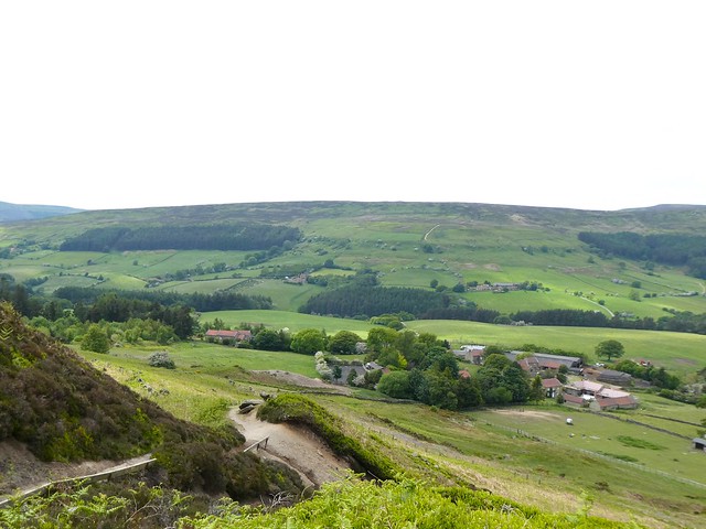
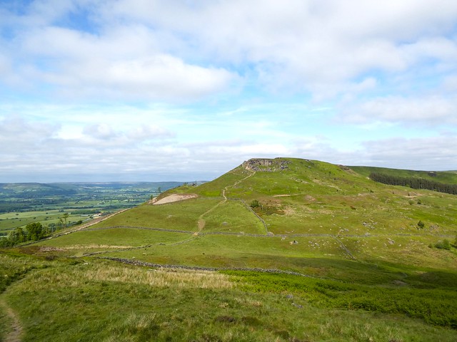
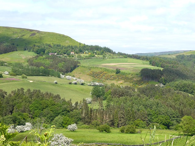
A side path led up through Old Soles Wood and on up Soles Hollow into open sheep country. I crossed the long ridge of Mere Hill with spectacular views east to the gorge of the River Manifold and the tent-shaped upthrust of Bunster Hill at the entrance to Dovedale. These iconic hills, dales and uplands of the Staffordshire/Derbyshire border are a walker’s dream, and it felt like a privileged moment to have them grouped together in one prospect.
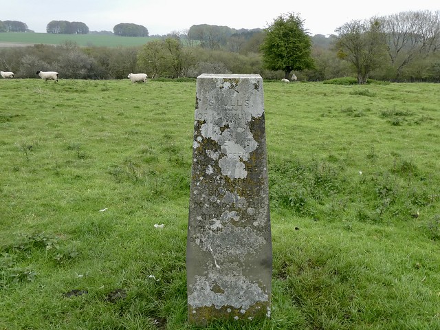
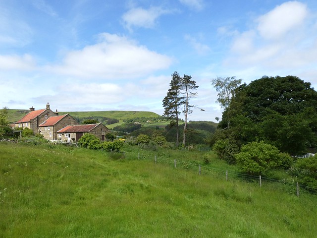
At Slade House I found a big cream-coloured bull blocking the farm drive. He seemed dopy and drowsy among his harem, but we hadn’t been formally introduced, so I hopped a stone wall and bypassed the bovine roadblock.
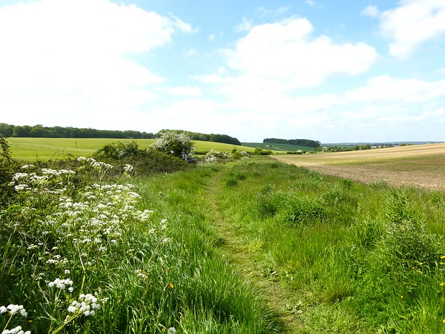
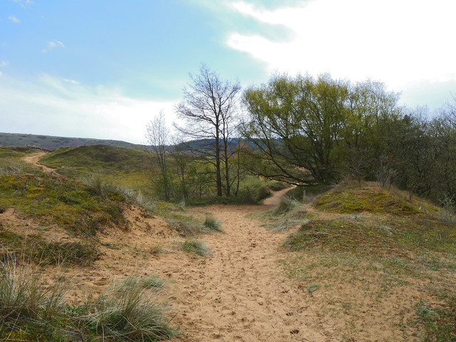
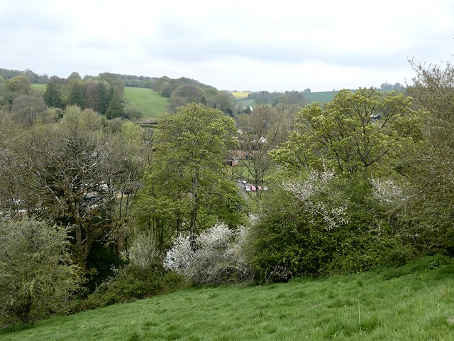
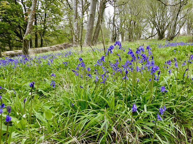
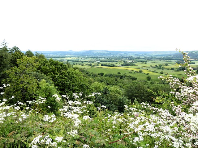
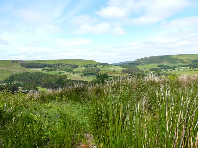
Below Slade House a deep and sinuous dale, seemingly nameless, runs eastward. As soon as I got into it I found slopes of unimproved grassland thick with wild flowers – intense blue milkwort, harebells nodding on slender stalks, and masses of greeny-white greater butterfly orchids. What a treat to be walking here.
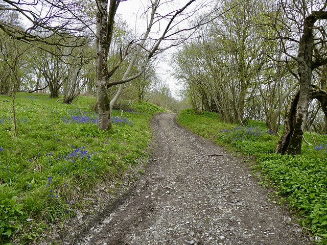
Things soon got a little more challenging as the path wriggled under sycamores and hazels in a dank, damp tangle of herbage. I walked with head bowed, watching for slippery stones, and hands raised out of the way of stinging nettles, like a surrendering soldier in a jungle.
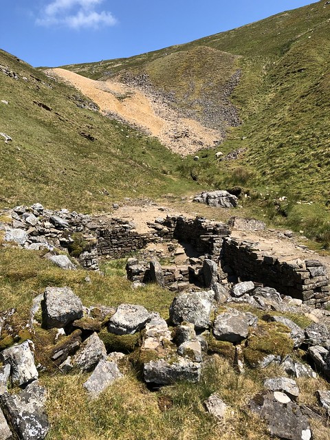
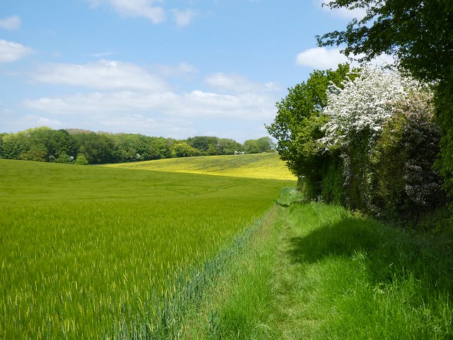
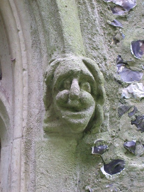
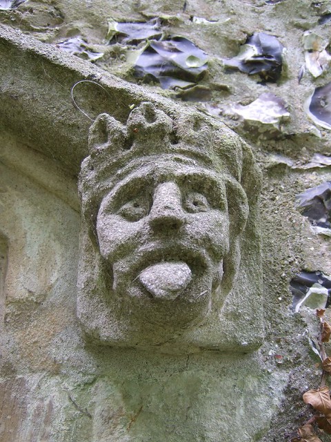
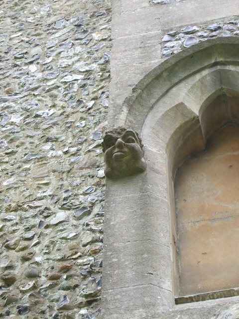
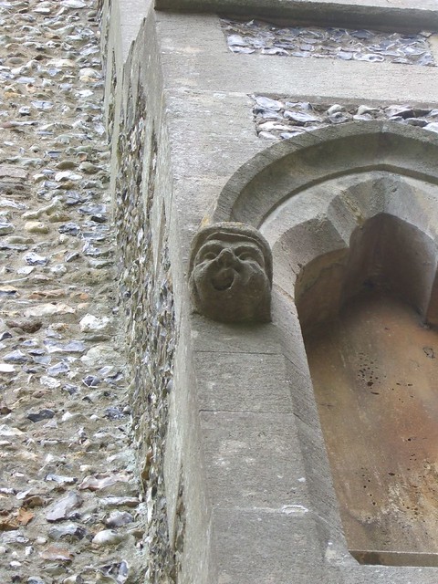
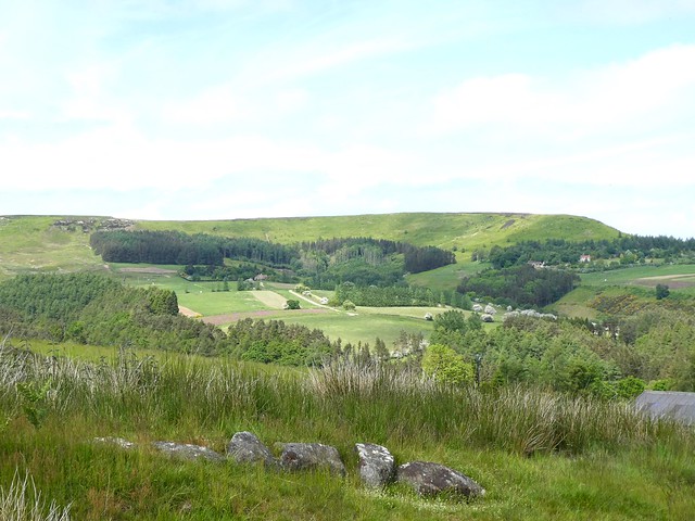
Out of the stingers at last, I came to the tumbledown farm and neat holiday cottages of Rushley, and turned up the long open-sided road to Throwley Hall farm. On a knoll rose the blackened stone ruin of Throwley Old Hall, tall and stark, its Tudor mullioned windows looking out blankly over medieval ridge-and-furrow fields to the deeply carved cleft of the Manifold Valley.
I sat and stared, munching an apple, while the Throwley cattle came to the wall and stared at me.
How hard is it? 7 miles; moderate; field and woodland tracks
Start: Weag’s Bridge, Grindon ST13 7TX (OS ref SK 100541)
Getting there: A523 (Leek-Waterhouses); at Bottom House, B5053 (‘Warslow’). In 1½ miles, right to Grindon; then ‘Manifold Valley’ to car park on left before Weag’s Bridge.
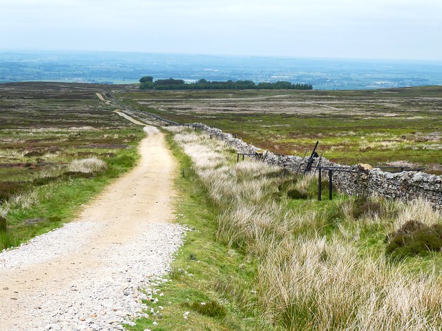
Walk: Pass bridge (don’t cross); ahead on cycle path (Manifold Way/MW). In ¾ mile after 3rd bridge, left off MW (101534, gate, ‘Old Soles Wood’) up woodland path. In ⅓ mile through gate (100529); up cleft. In 500m left through gate (102525, yellow arrow/YA); right along wall for ½ mile to cross road (104517). Follow drive to Slade House (107510). Through farmyard (fingerpost ‘Calton’), then gate (YA). Grass path to next gate (107508); fork left (stile), down hedge to bottom. Left (107504, gate, YA) along dale bottom path for 1½ miles to road at Rushley (124514). Left; in 100m, left up road (‘Manifold Trail’/MT). In 1 mile pass Throwley Old Hall (111525); on to farmyard; left (‘Calton’). Immediately dogleg right/left through wicket gate (110526, YA, MT). Half right to corner of wall (108528); track to gate beside trees (108529); down slope to gate (107533, MT); follow MT back to Weag’s Bridge.
Lunch: Picnic
Accommodation: Black Lion Inn, Butterton, Leek ST13 7SP (01538-304232, blacklioninn.co.uk) – everything you could want in a comfortable, welcoming village inn.


;)
;)
;)
;)
;)
;)
;)
;)
;)
;)