First published in: The Times Click here to view a map for this walk in a new window


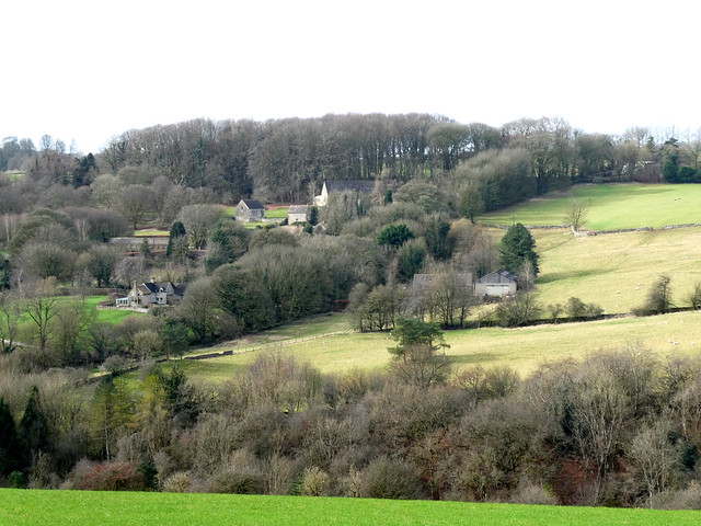
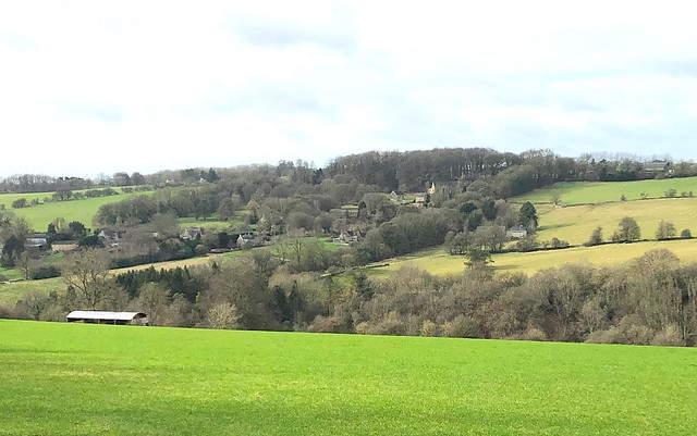


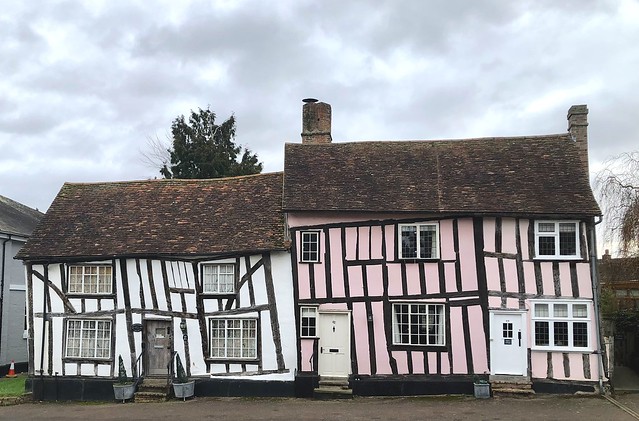
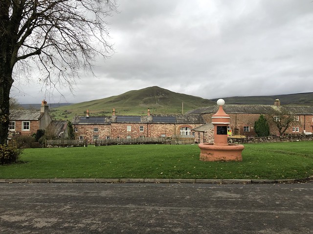
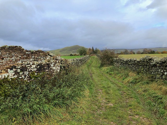
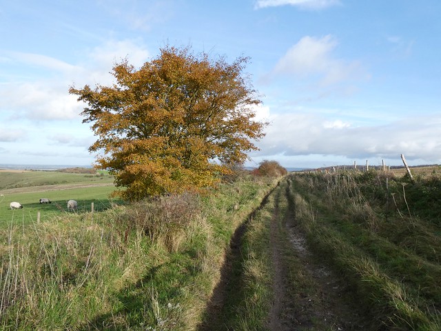
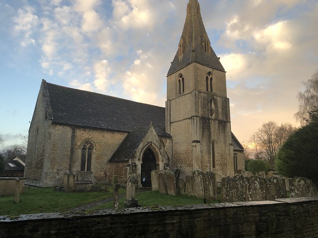
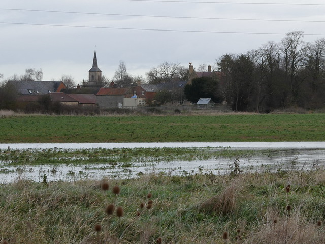
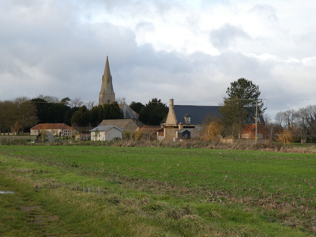
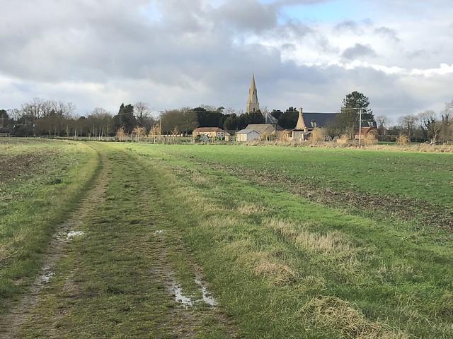
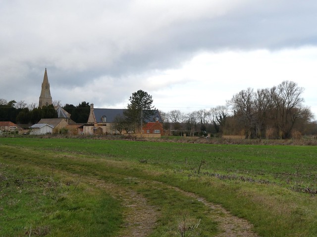
The south Cotswold village of Miserden seems to have it all – shop, post office, school, dentist, craftspeople, (occasional) bus, and a cosy and welcoming pub. In addition it’s a pretty place of mellow limestone houses, barns and field walls.
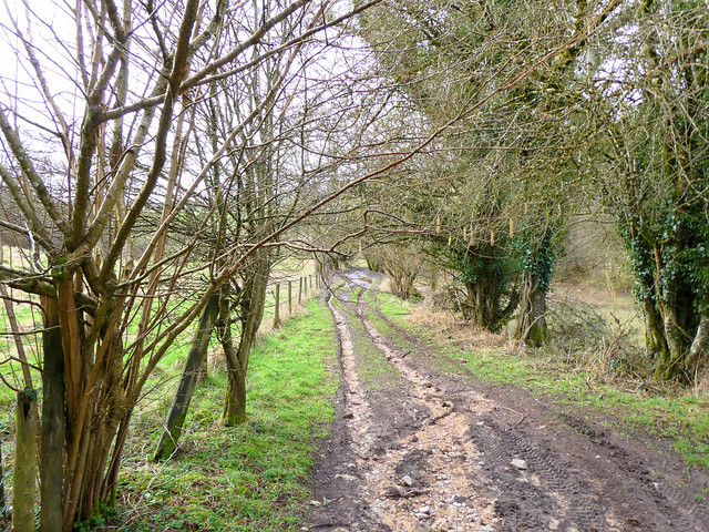
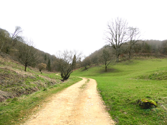
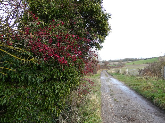
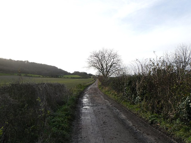
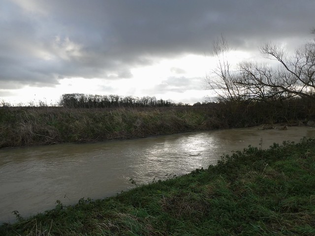
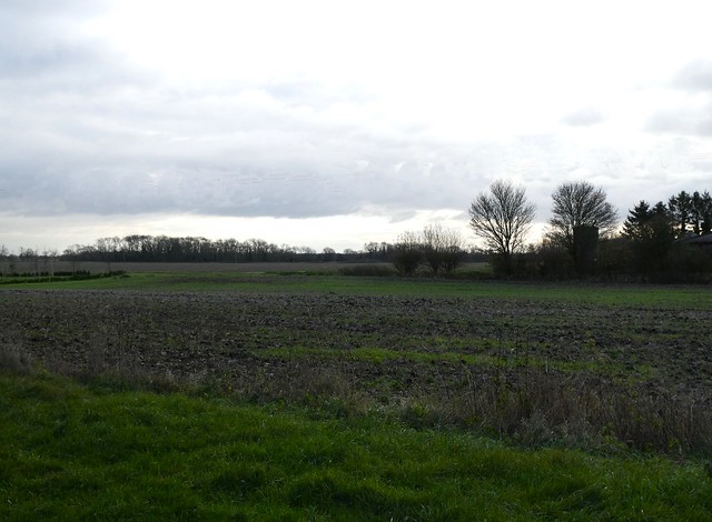
Do rural Edens like this harbour serpents? Impossible to believe it as we passed a posse of happily babbling village toddlers on their morning constitutional and set out along an old country lane. Hock-deep mud and a surface abraded to stumbly rubble by winter’s floods soon brought us back to earth.
Two worlds intersected along the route from Miserden to Througham. The byway, evolved to suit man’s objectives, led purposefully between the two settlements, while claw-scraped mudslides in the banks marked the passage of animal highways crossing the man-made track on the way to and from unknowable destinations.
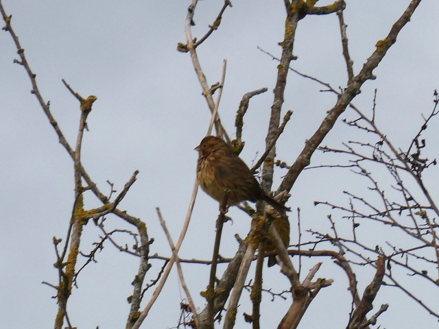
A grey squirrel scampered across the lane in front of me, so intent on its course that it darted right over the toe of my boot. The sunken track, more stream than lane, rose to Througham under hazels festooned with catkins and minuscule female flowers, tufty and scarlet.
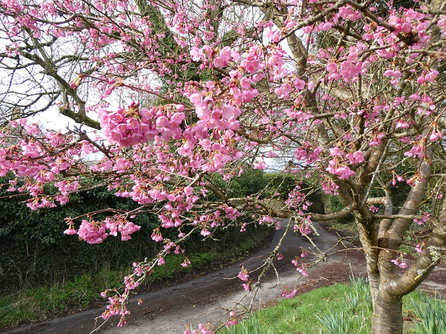
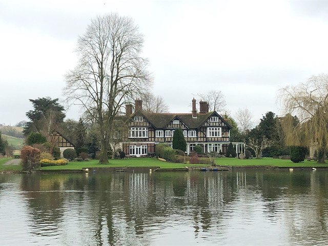
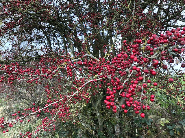
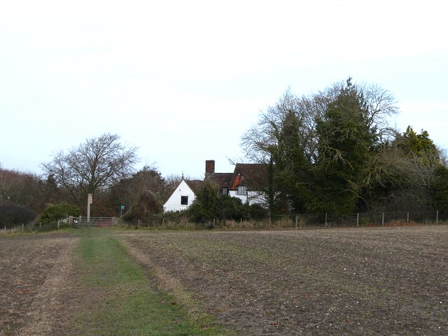
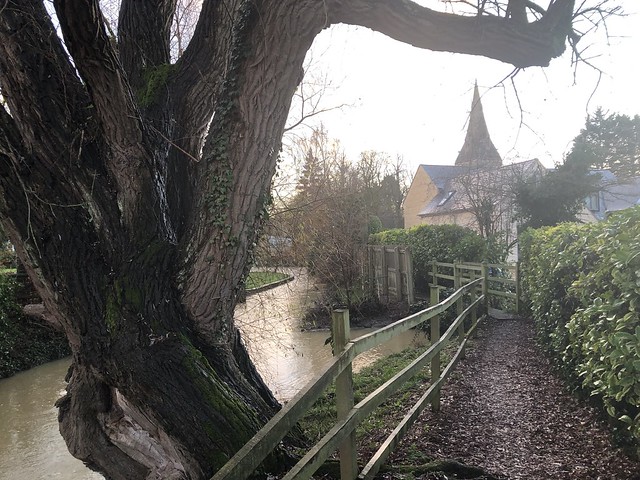
We passed the handsome old country house of Througham Court, its gables pierced with dove holes. A high wall concealed a garden laid out by the owner according to mathematical formulae, medical principles and cosmic theory. Less abstruse but just as wonderful, a prunus on a grass triangle by the road stood covered with pink blossom, loudly humming with a smother of bees hard at work.
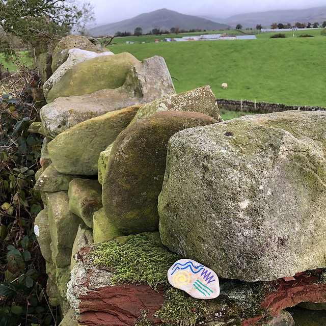
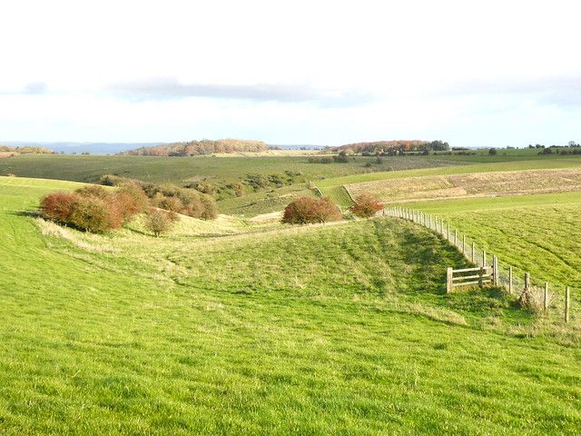
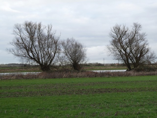
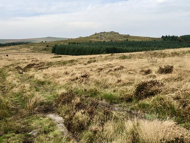
Another stony lane led to a pasture where seven roe deer ran in line across our path, each creature rising in turn to spring over a fence, easy grace personified.
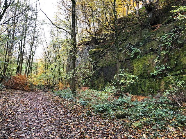
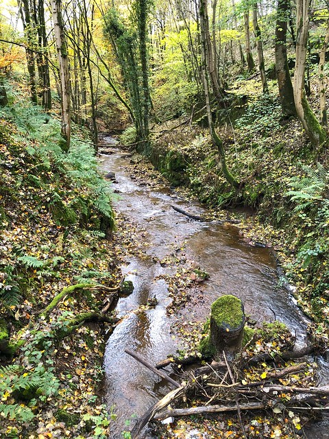
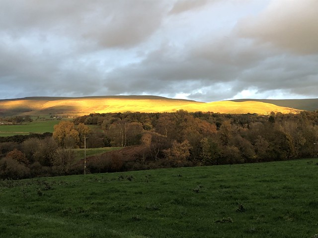
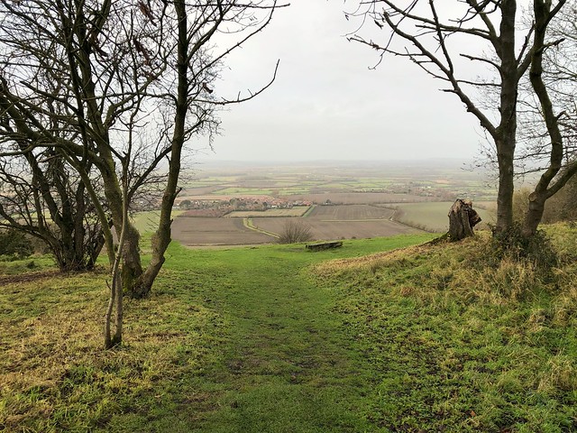
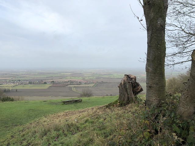
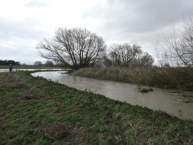
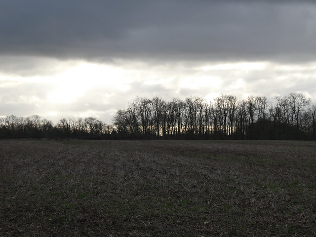
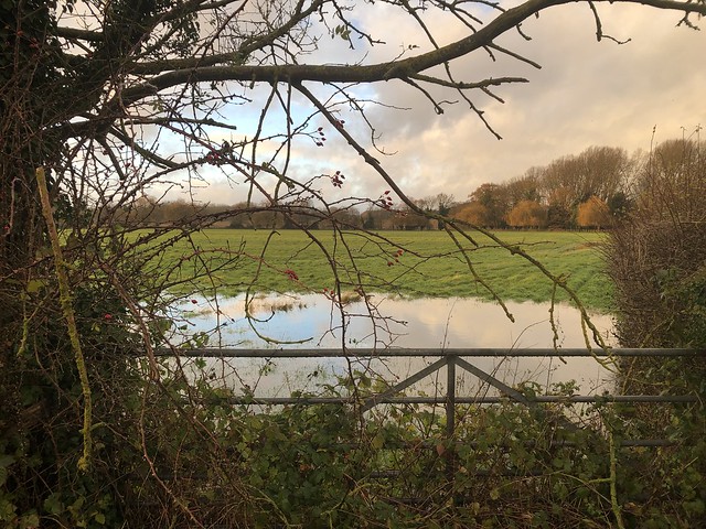
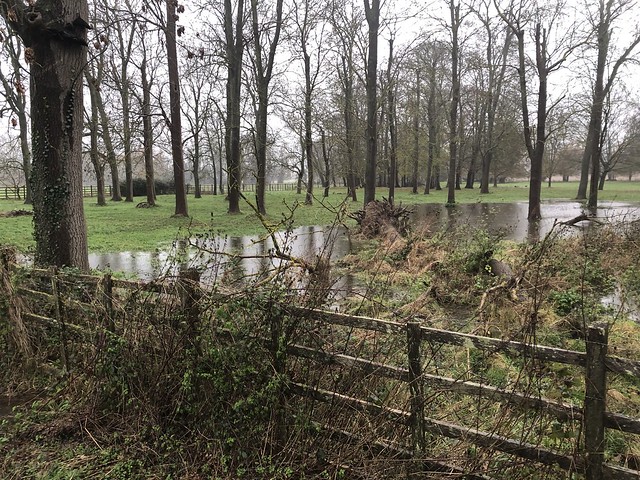
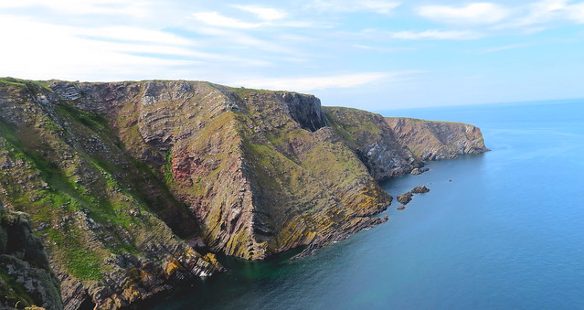
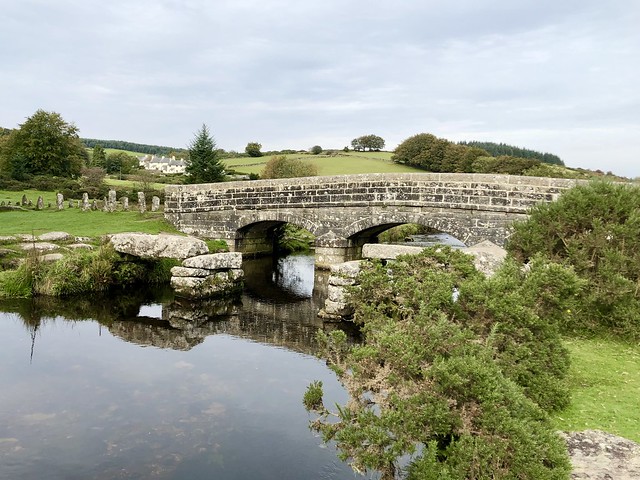
In High Wood off-roaders had trenched the byway with ruts too deep and flooded to walk in. We teetered along the muddy margins before plunging down a hillside path to the hidden valley of the Dillay Brook. An upward slog, a tangle of storm-toppled trees to negotiate like a giant’s game of spillikins, and a last stretch through sheep pastures under a sky milky with late winter sunlight and jingling with the early spring twittering of skylarks.
How hard is it? 7 miles; moderate; muddy and wet in parts, especially in High Wood.
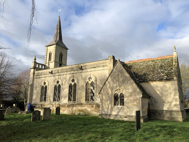
Start: Carpenter’s Arms, Miserden GL6 7JA (OS ref SO 937088).
Getting there: Off B4070 (Birdlip-Stroud)
Walk (OS Explorer 179); Leaving pub, right; at T-jct, right; in 200m, left (933086, ‘Restricted Byway’). In 400m, fork left (930085); follow lane to Througham. In ¾ mile where tarmac begins, left (921081). 50m past Througham Court, ahead off right bend (921078) along lane. In 300m fork right at sheds (921075). Green lane, then field paths to road (914074). Left; fork right; at T-jct, right (912073). In 450m cross road (908076), then 3 fields to lane (905079). Left (very muddy!). In ½ mile lane bends sharp right (899081); descend on side path with wall on right. In 150m fork downhill. At bottom, cross track (899085); up path opposite. In 350m at top of rise fork right past house (901087). In 200m, ahead (blue arrow) for ⅔ mile (some fallen trees to negotiate) to gate into field (912086). Path to cross 2 roads (914087, 916087); on down to Honeycombe Farm. Path (left side of silage clamp) to road; right (ignore ‘Private’ sign). At gate, left-hand of 2 stiles (923090); path uphill (gate, yellow arrow) across 3 fields to road (931090). On across field to road (933089); right into Miserden.
Lunch: Carpenter’s Arms, Miserden (01285-821283, thecarps-miserden.co.uk)
Accommodation: Falcon Inn, Painswick GL6 6UN (01452-222820, thefalconpainswick.com)
Info: Nailsworth TIC (01453-839222)


;)
;)
;)
;)
;)
;)
;)
;)
;)
;)