First published in: The Times Click here to view a map for this walk in a new window
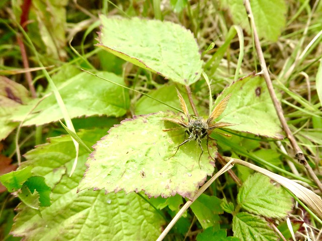

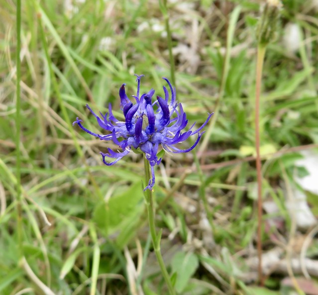
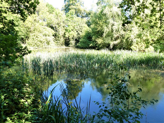
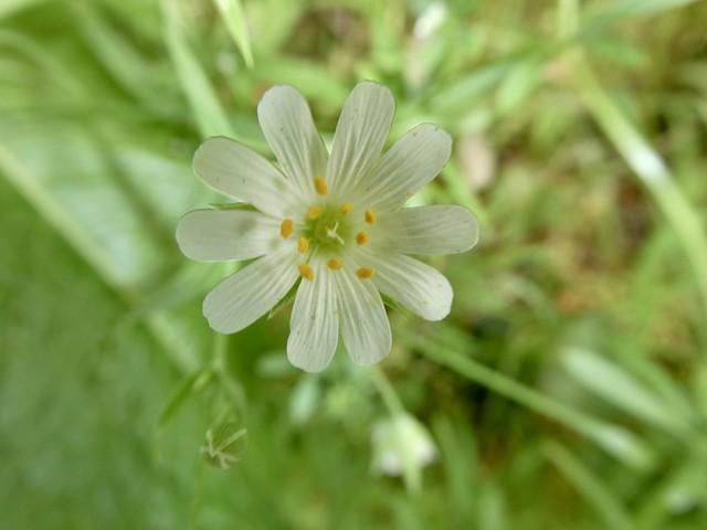
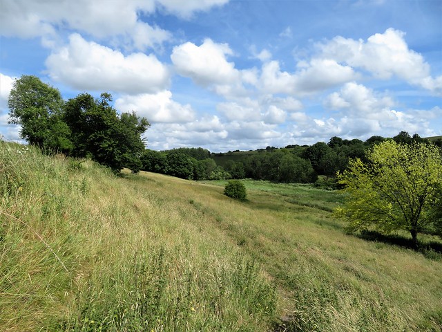
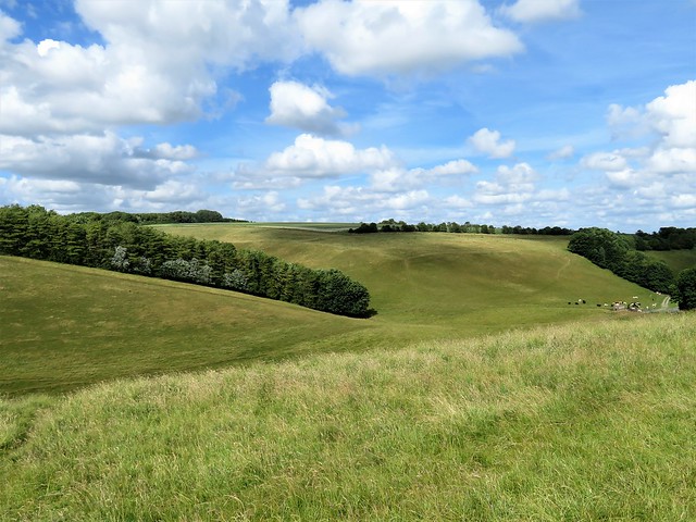
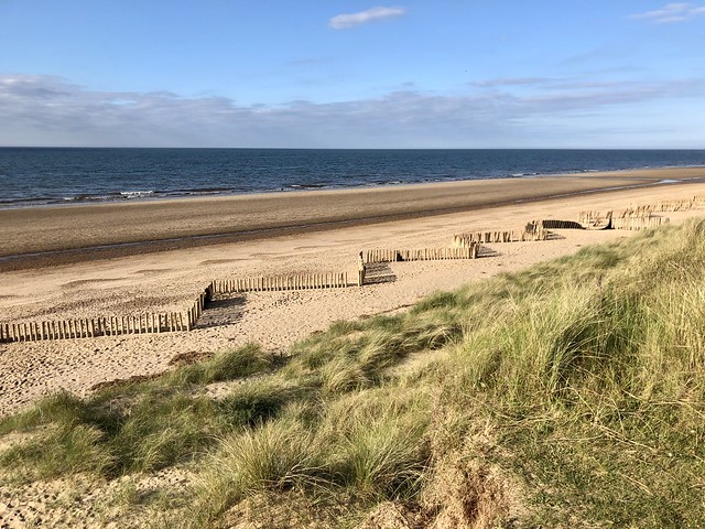
The wide grassy ride through the beeches of Cheriton Wood was lined with silverweed, royal blue viper’s bugloss and acid yellow wild parsnip. All was quiet and peaceful on this summer morning in the Hampshire Weald. If the shadows under the coppiced hazel seemed a little black and cold, that was down to the account I’d been reading of a desperate Civil War battle that took place in March 1644, in and around this wood.
Parliamentarian forces under Sir William Waller were in possession of Cheriton Wood. The Royalists under Sir Ralph Horton pushed them out, and were on the brink of victory. But an impetuous Royalist officer, Sir Henry Bard, had a sudden rush of blood to the head and launched his foot soldiers against much stronger and better armoured Parliamentarian cavalry, the ‘London Lobsters’. The Royalists were slaughtered, the survivors put to ignominious flight. It was the beginning of the end for King Charles I and the Royalist cause.
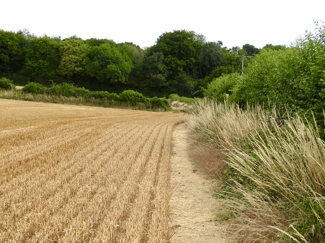
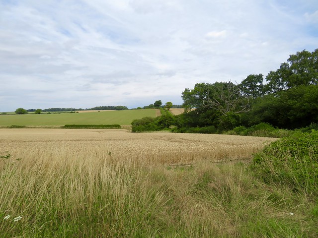
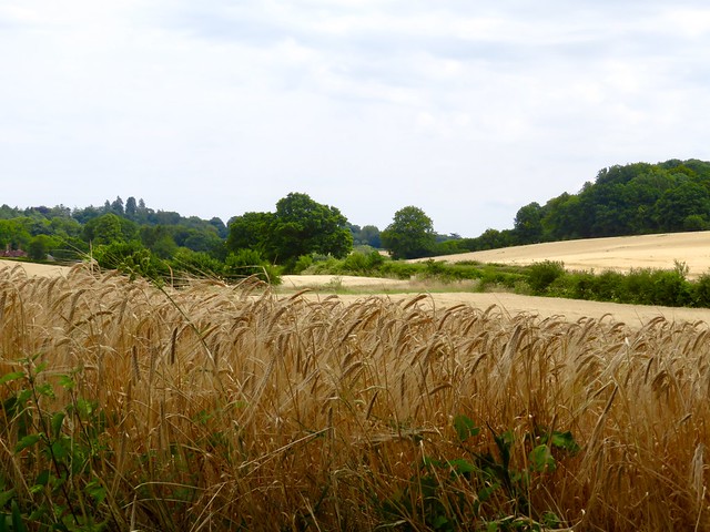
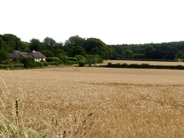
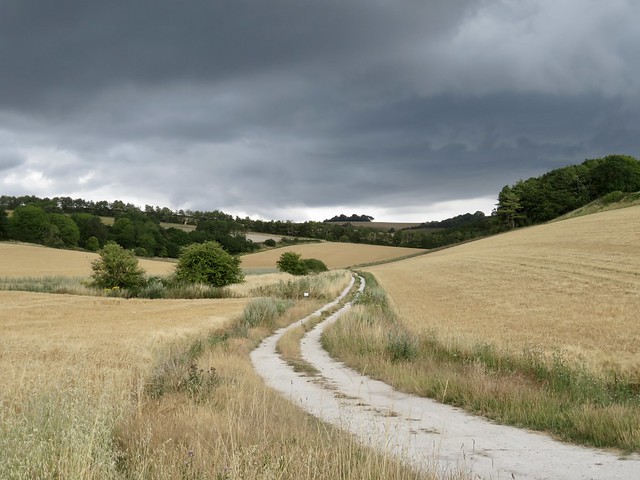
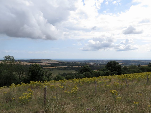
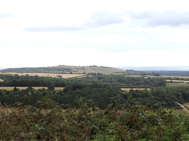
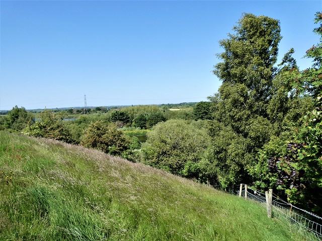
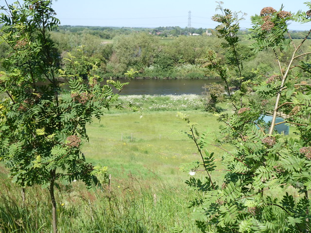
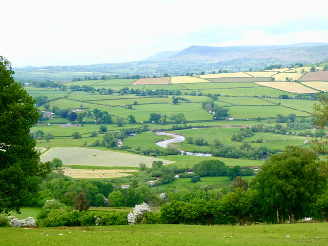
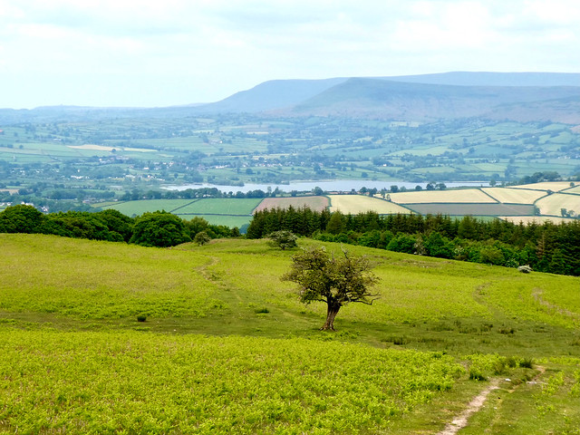
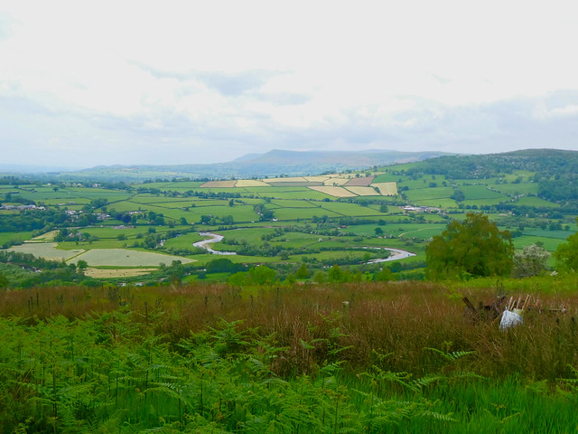
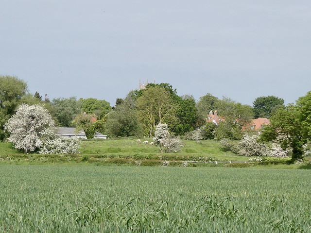
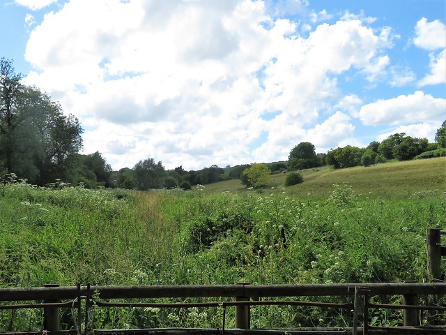
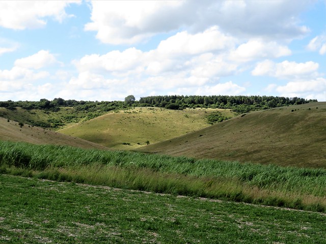
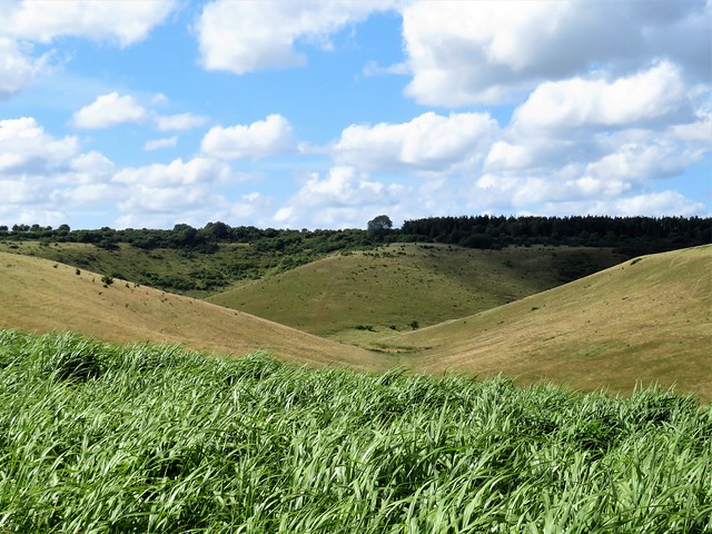
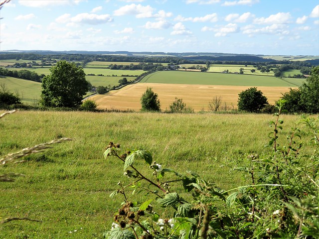
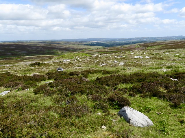
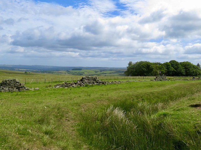
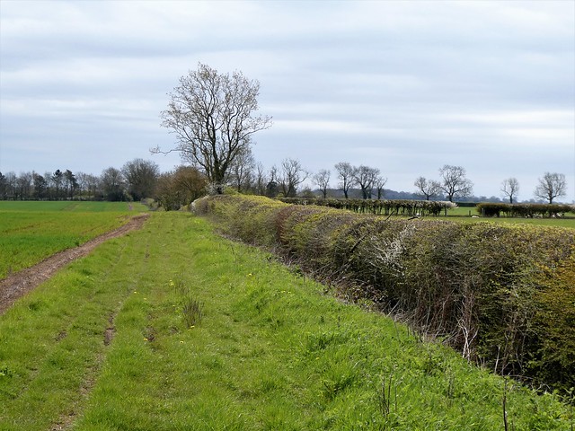
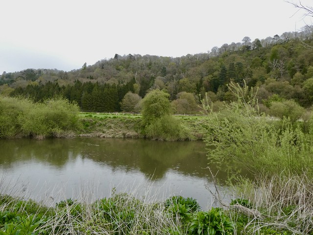
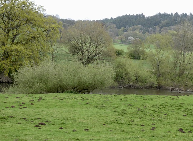
We left the wood and its ominous aura, and went westward in a rolling landscape of flinty soil, through fields of barley as yet unharvested. The country to the south was a bowl of pale gold cornfields where the foliage of hedges and thickets had assumed that tar-black hue so characteristic of hot dry summers.
The hunched, intent form of a whippet suddenly flashed by. It went streaking at full speed after a leaping roe deer till whistles and curses from its owner called it to heel.
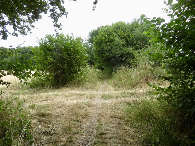
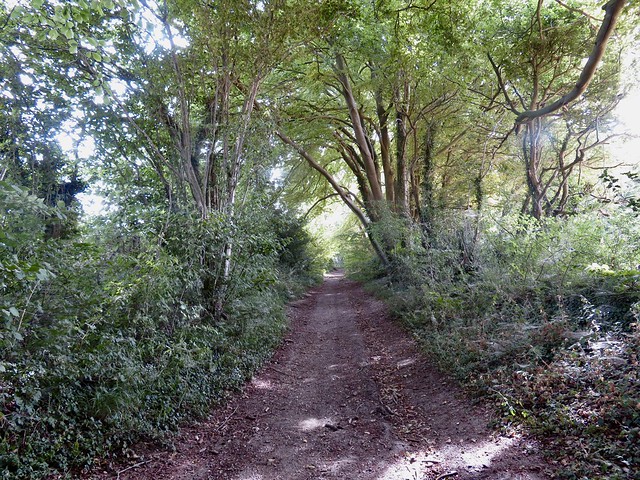
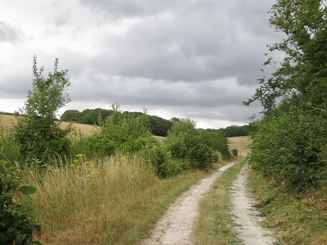
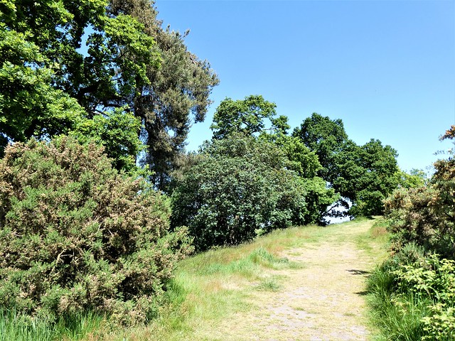
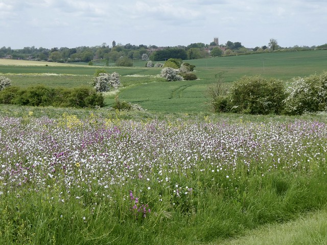
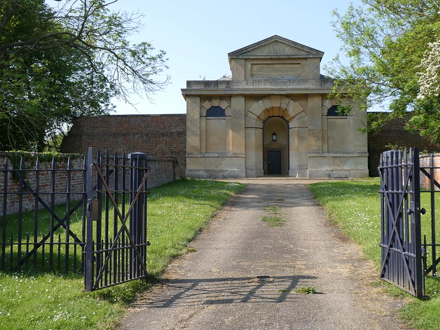
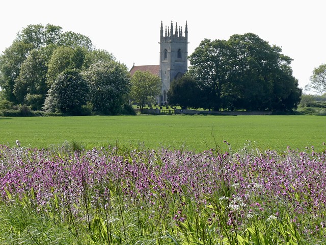
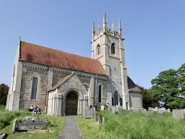
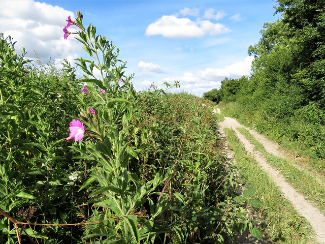
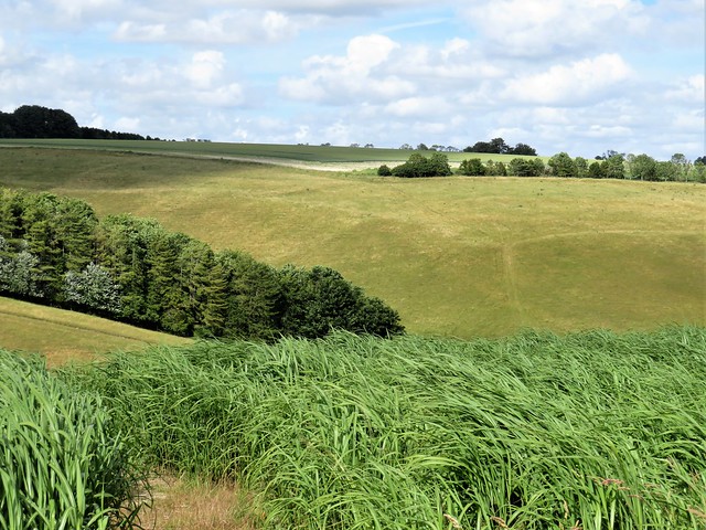
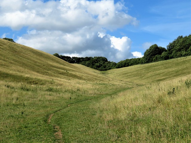
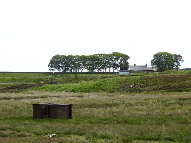
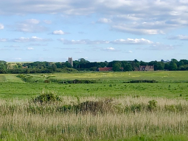
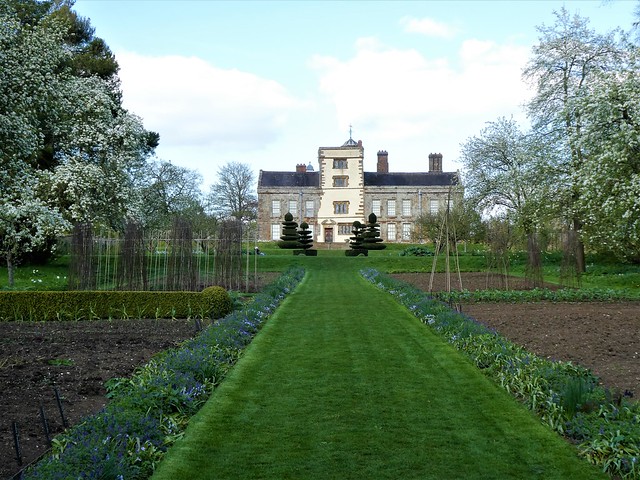
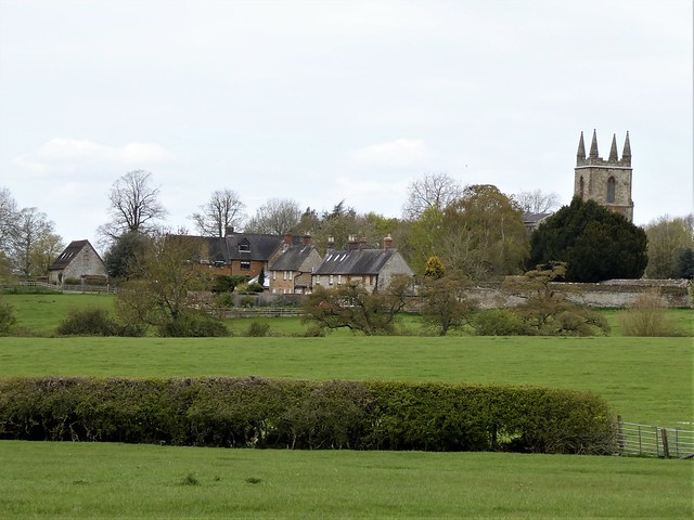
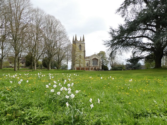
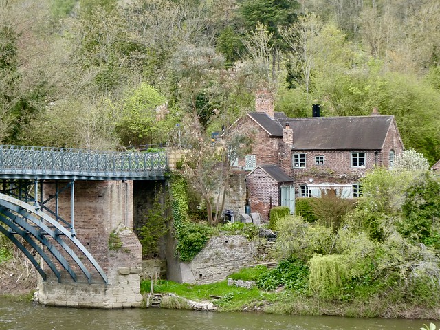
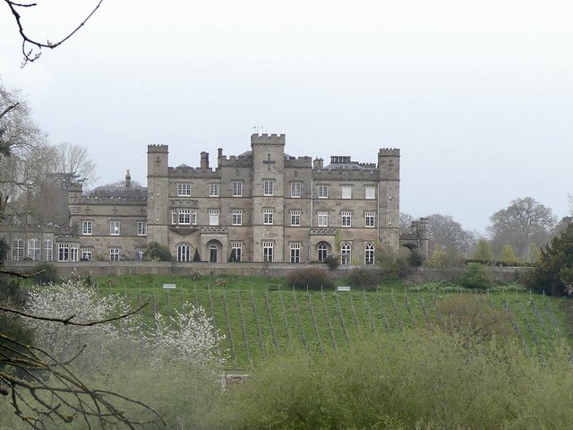
This Wealden landscape is crisscrossed with ancient green lanes, and we followed one down past Hinton Ampner and its splendid Georgian house and gardens. In the church a monument to Katherine Stewkeley (d. 1679) lamented her fate of being misunderstood by ‘the Vulgar’. Poor Katherine was a target of ‘the Ignorance of the meanest of women’, said the inscription. How one would love to know that back story!
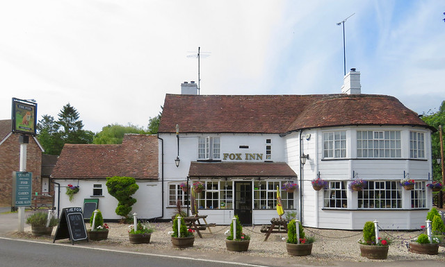
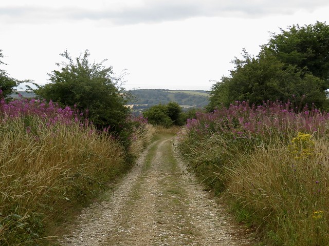
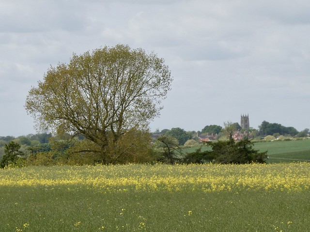
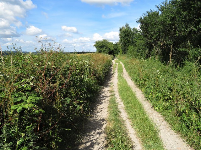
Another tangle of green lanes led us on to Bramdean and the friendly Fox Inn. Then along the homeward path through acres of dried-up beans adorned with the pink-and-white parasols of bindweed, and wheatfields where a huge green Klaas harvester went whining and winking along the rows, veiled in dust and beeping like a Martian.
How hard is it? 6½ miles; easy; field paths and green lanes
Start: Bramdean Common, near Petersfield, SO24 0JL approx. (OS ref SU 626294)
Getting there: Bus 67 (Petersfield-Winchester) to Fox Inn, Bramdean
Bramdean Common is 1½ miles north of Bramdean (A272), up Wood Lane.
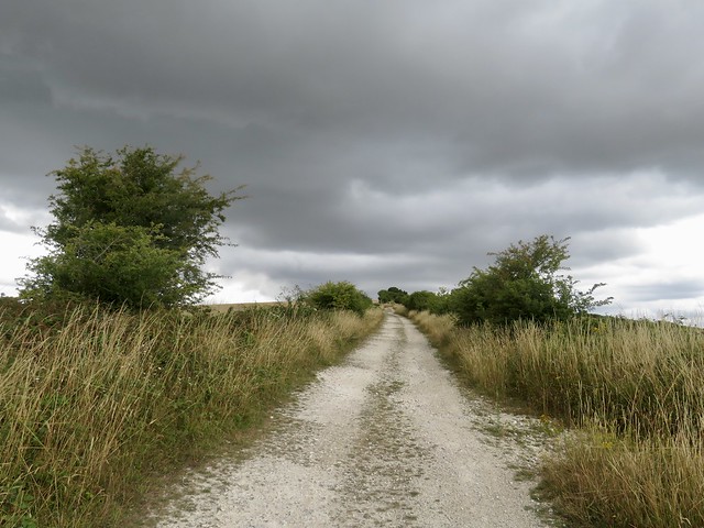
Walk (OS Explorer OL32): Follow gravel bridleway (‘Restricted Byway’) west into Old Park Wood (623294). Continue for 900m to cross track into Cheriton Wood (615297). Keep same direction for 1 mile to cross lane (601290); on along field edge to Broad Lane green lane (595287). Left to cross A272 (597280). Up lane (‘Hinton Ampner’); at bend, ahead (597276) past gates. Opposite church, left through gate; right (fingerpost, ‘Wayfarers Walk’). In 400m at double kissing gate, left (597272) along lane. Cross road (598270) and on. At road, ahead (606267); just past New Pond Cottages, left up field edge. In 800m through hedge (608275). Cross field to hedge; right (609276). Through next hedge (611276, stile). Half left across field; follow footpath to lane; left to A272 at Fox Inn. Left; just past Littledean, right (612280, fingerpost) up walled lane. On through fields, passing Marriners Farm (619296). In another 600m, stile into Old Park Wood (622295); right to Bramdean Common.
Lunch: Fox Inn, Bramdean SO24 0LP (01962-771363, thefoxbramdean.co.uk)
Accommodation: Thomas Lord Inn, West Meon GU32 1LN (01730-829244, thethomaslord.co.uk)
Info: Petersfield TIC (01730-264182); nationaltrust.org.uk/hinton-ampner


;)
;)
;)
;)
;)
;)
;)
;)
;)
;)