First published in: The Times Click here to view a map for this walk in a new window


Facebook Link:

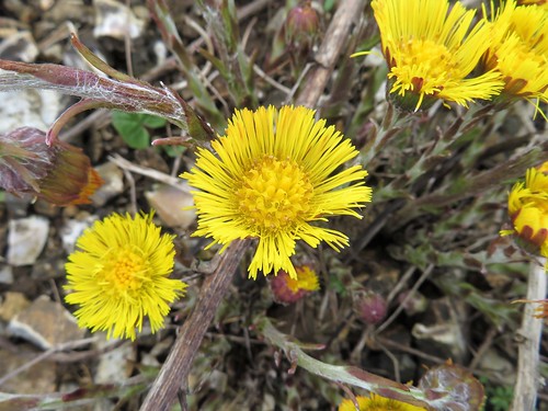
Chaffinches spurting out their stuttering song, a wren squeaking and trilling, blackbirds fluting, the throaty cooing of pigeons – Combe was a valley full of birdsong. White violets dotted the mossy lane banks, and a partridge scuttled brainlessly ahead of us before ducking at last gasp under a gate.
;)
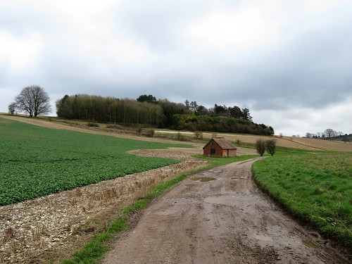
The broad field beyond Combe village was more flint than soil. Our boots clinked with every step, disturbing a sleek and handsome brown hare who cantered away across the young wheat like a miniature racehorse.
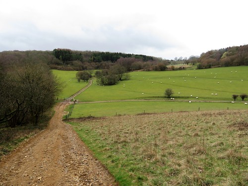
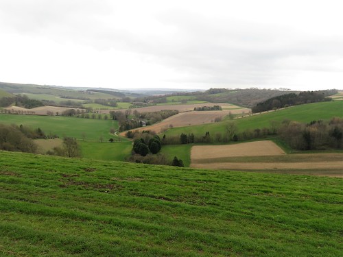
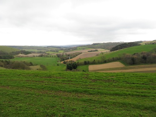
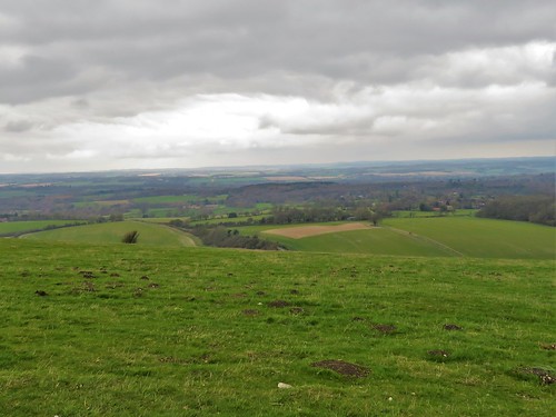
Steeply up the face of Sugglestone Down and we were up on the heights under a wide and blowy Berkshire sky. From the crest we looked back over the Combe valley, a patchwork of milky chalk soil and green wheat, all under the eye of a red kite riding the wind with exquisite balance as it scanned the fields two hundred feet below.
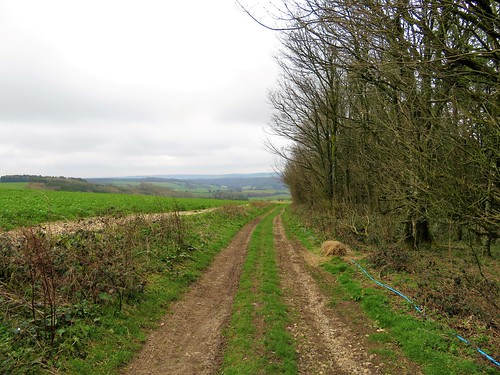
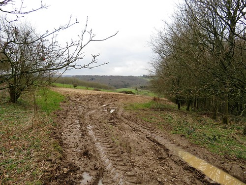
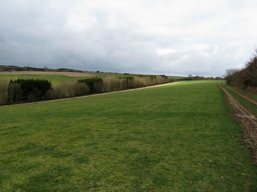
A long flinty holloway dropped through hazel copses where sheaves of wild garlic leaves rustled and long-tailed tits swung twittering on the topmost twigs. At the bottom under Cleve Hill Down we found the Test Way footpath, a guide through the quiet hollows and inlands of these downs.
Someone in a conifer plantation was whistling to the kites, a close imitation of their sharp descending wail of a call. Two of the birds were flapping and playing over the wood, swooping together, springing apart at the last moment, while much higher overhead a pair of buzzards performed the same springtime dance.
The Test Way tilted and steepened as it climbed to the roof of the downs once more. An ancient ridge-way on Inkpen Hill ran east past the tall stark T-shape of Combe Gibbet, at whose yard ends in 1676 murderers George Broomham and Dorothy Newman had swung. They had drowned Broomham’s wife Margaret in a pond after she had caught them in flagrante delicto on the downs nearby.
On the great Iron Age rampart of Walbury Camp hill fort we paused for a final stare out over a prospect of farmlands, villages, woods and hills, stretching away west, north and east for dozens of miles – one of the great high vistas of southern Britain.
Start: Walbury Hill easterly car park, near Inkpen, Berks RG17 9EH approx (OS ref SU 380616)
Getting there: Kintbury (signed from A4, Hungerford-Newbury); Kintbury Cross Ways, Rooksnest, Inkpen Common, Crown & Garter PH, then follow ‘Faccombe’ to car park.
Walk (8 miles, moderate, OS Explorers 158, 131): West up trackway. In 200m, left (378616, fingerpost/FP) down path to Combe. At memorial bench, left (373609, FP) past cottages; in 200m, left (373607), then across wide field. From old fencepost (378606) path goes half right, steeply up Sugglestone Down to stile (379604). Aim for mast; path curves right to road (384601). Right (red arrow/RA) on Byway. In 1¼ miles cross road (372587, ‘Linkenholt’). In 100m, right on track. In ½ mile pass Adventure Centre (364586; Test Way/TW joins from left). In 250m, TW forks left past barn (364588). In 1 mile, at west edge of Combe Wood (353598), TW turns right, steeply uphill. In 1 mile, right through gate (358613, TW, Buttermere Estate notice). In ¼ mile at hedge break (359617, 3-finger post), ahead (not right) to ridge track (358621); TW right to Combe Gibbet and Walbury Hill.
Conditions: 2 short steep climbs
Lunch/Accommodation: Crown & Garter, Great Common Rd, Inkpen RG17 9QR (01488-668325, crownandgarter.co.uk)
Info: West Berks Museum, Newbury (01635-519562)
Ships of Heaven – The Private Life of Britain’s Cathedrals by Christopher Somerville (Doubleday) out now