First published in: The Times Click here to view a map for this walk in a new window

A hazy, breezy day on the Glamorgan Coast, and a Sunday buzz in the car park at Candleston Castle.
;)
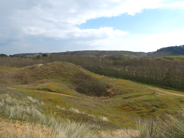
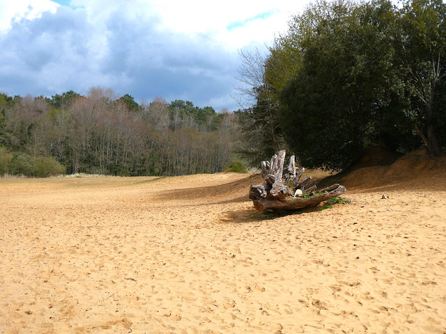
Merthyr-Mawr National Nature Reserve lies at the mouth of the Ogmore River. It boasts the tallest dunes in Wales, a great spread of sandhills that covers 840 acres of coast. The dunes sit on top of a shelf of limestone, hence their great height and also their remarkable fertility. Here you can find a dozen species of orchid, rare liverworts in damp patches, and delicately beautiful dune pansies from spring into autumn.
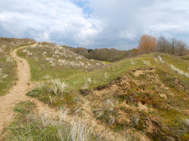
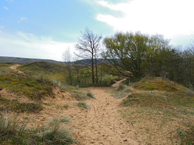
We climbed a slope of naked sand speckled with fragments of shell, past deep valleys dotted with sulphur-yellow hawkbit and bushy hollows where strawberry flowers spattered white across the mossy turf.
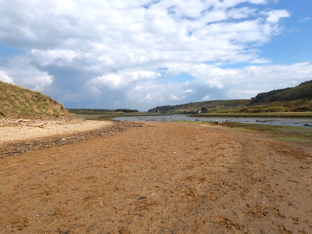
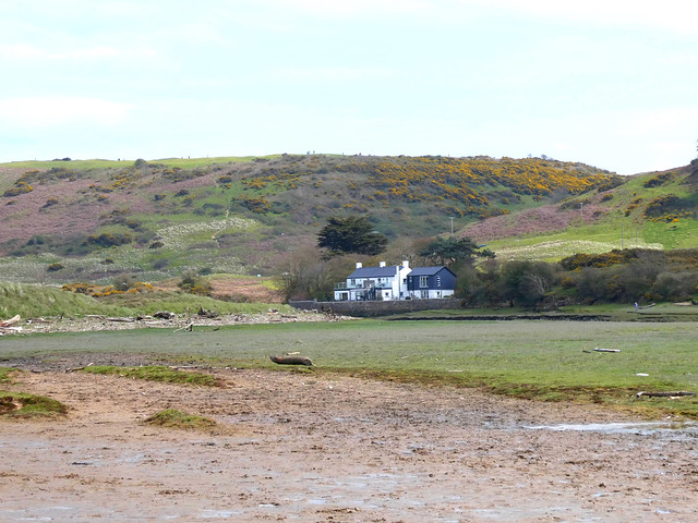
Down beside the ebbing Ogmore River, a flat littoral of saltmarsh lay strewn with the whitened trunks of trees washed out of the river banks in winter floods. We climbed a dune through scratchy marram grass to where the seaward view opened – galloping horses on the wide beach, and the pale rise of the Exmoor hills far across the grey-green Bristol Channel.
Between a shingle bar and the sandhills someone had built a charming little hut into a dune, its driftwood roof and carefully laid stone walls so seductive to the inner child that we were sorely tempted to play houses there all afternoon.
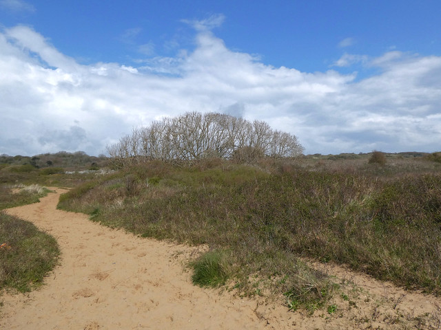
Soon the path ran up into the dunes again, crossing swards of violets and tiny pink cranesbills. We stopped to listen to an invisible bird singing with a silvery little trill, then headed east on sandy paths through an enchanting coppice of wind-stunted hazel where bluebells and wood anemones splashed the undergrowth with colour.
Late afternoon sunshine lay on distant hills, inland and across the sea. Our homeward path lay along a rubbly lane where an ivied angle of stone wall was all that remained of Candleston Castle, a fortified house 700 years old. Most of the strongholds along this coast were buried or choked out of existence by catastrophic sandstorms late in the 14th century – but Candleston on its limestone ledge had been built just high enough to escape that deadly tsunami of sand.
How hard is it? 5 miles; easy; sand dunes, beach and woodland paths.
Start: Candleston Castle car park, near Bridgend CF32 0LR (OS ref SS 872771) – £5 all day.
Getting there: Merthyr-Mawr signposted from A48 Bypass Road between Bridgend and Porthcawl. In ½ mile dogleg right/left; follow road to car park at end.
Walk (OS Explorer 151): With your back to road, take downhill path (red, yellow arrows); cross stream; ahead up dune slope. At prominent tree stump bear left. In hollow, pass blue arrow, ‘To The Beach’. When you reach a fence, follow it to go through gate. With fence on right, head for beach. Right along beach for ¾ mile. Opposite Black Rocks, Wales Coast Path/WCP sign points to dune path along fence (855767). In 200m fence bends inland, but keep ahead here. In 250m, at 2nd WCP post beyond fence, turn right inland (850770) on wide sandy track. Follow path inland for 400m to junction (851774); right on broad path. At fork, left (post with both waymarks missing); follow path for 1 mile, passing four gates with ‘Newton & Candleston Circular Walk’ signs. At stone wall, right on farm road (866778). In ⅓ mile drive bends left, then right to Candleston Farm. Hairpin right here (870779) down stony lane for ½ mile to car park.
Lunch: Picnic
Accommodation: Ewenny Farm Guesthouse, St Brides Road, Bridgend CF35 5AX (01656-658438, ewennyfarmguesthouse.co.uk)