Search Results : Rutland

Sep 122020


First published in: The Times Click here to view a map for this walk in a new window
picture picture picture picture picture picture picture picture
Facebook Link:

September, and that first definite nip of autumn in the breeze. We stood in the circular churchyard at Braunston-in-Rutland, admiring the stumpy charms of the Braunston goddess. Imagine the surprise that workmen got in the 1920s when, relaying the church doorstep, they turned it over to discover this extraordinary pagan idol carved on the reverse, mouth and eyes agape, little round breasts outthrust.

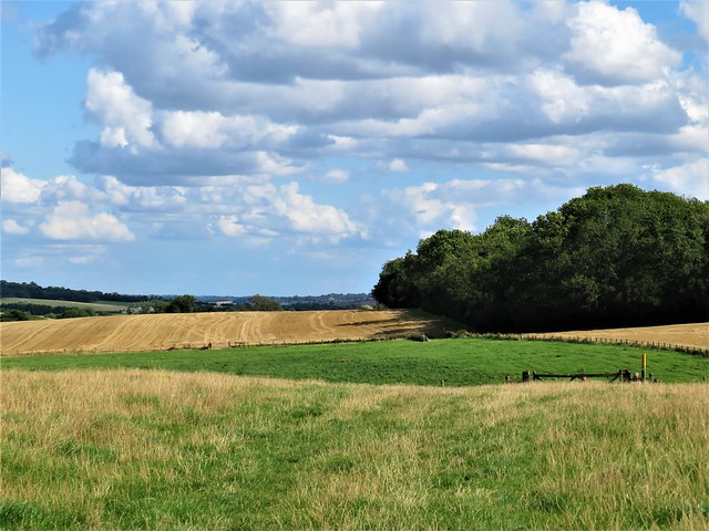
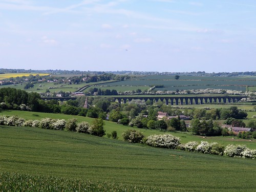
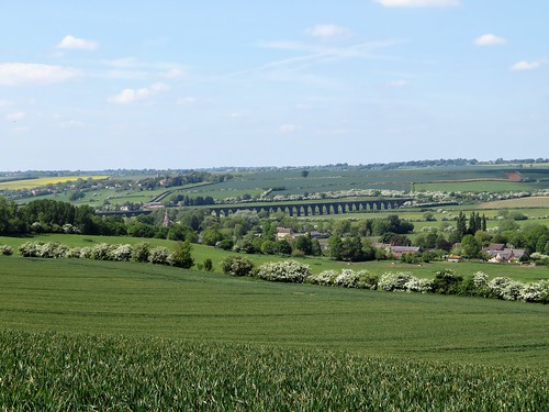
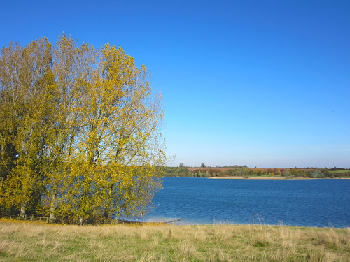
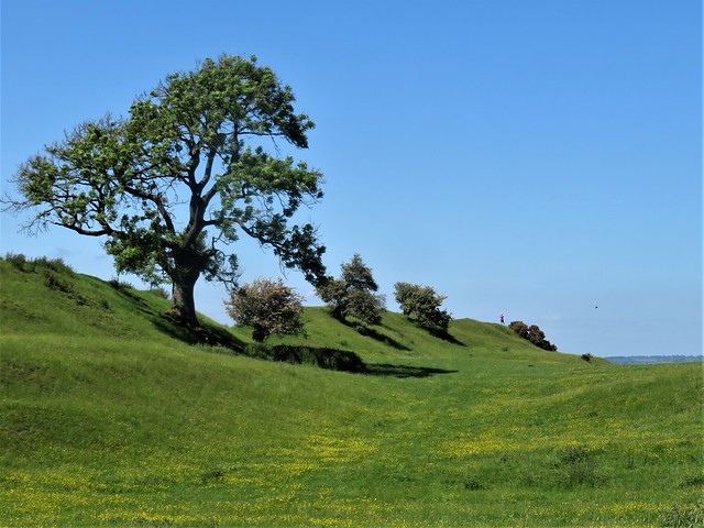
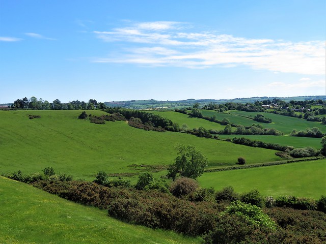
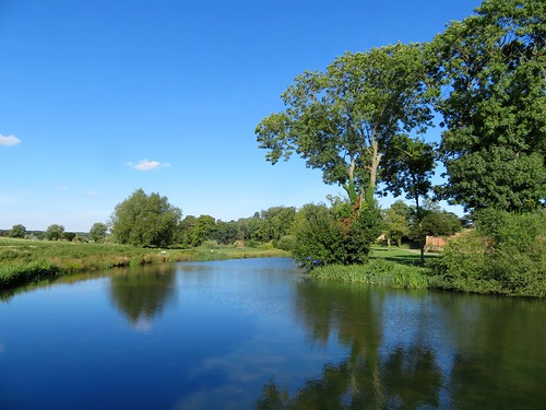
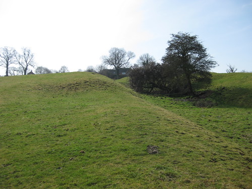
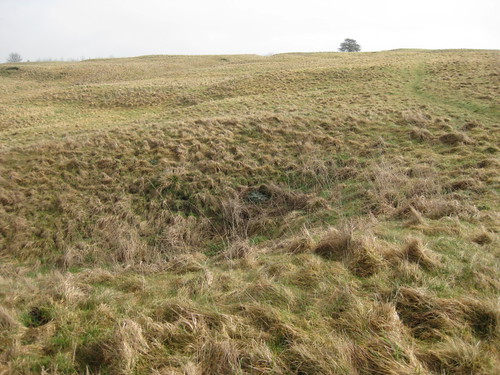
Our path lay west across rough pastures where we stumbled up and down the furrows of medieval agriculture, still printed in these fields. Big billowy clouds went blustering about the sky, at one moment dipping us into shivery shade, the next bathing us in hot sunshine. Goldfinches twittered in the hedge where our approach had driven them from their feast of thistle seeds.

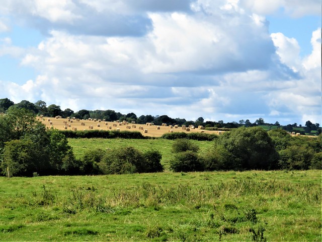
In the recently harvested wheatfields, straw bales the shape of giant cotton reels lay among the stubble like an Andy Goldsworthy installation. A ploughman drew furrows of earth behind his tractor, the soil rich and dark with minerals, while a red kite and a swoop of herring gulls homed in on the worms and insects thrown up by the plough.

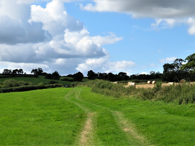
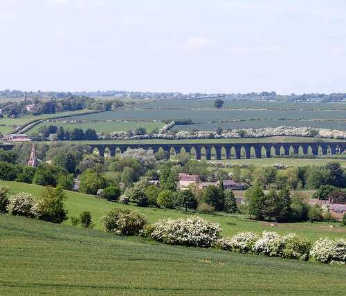
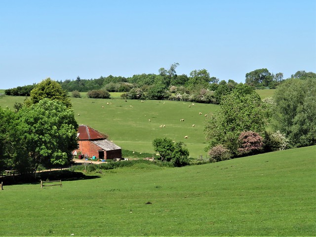
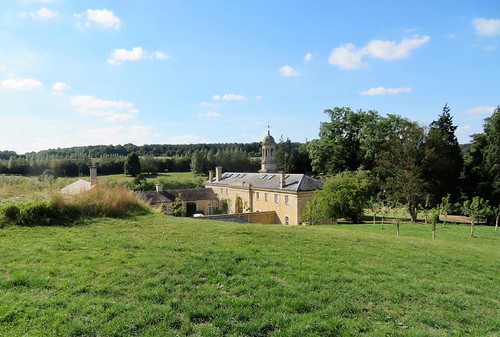
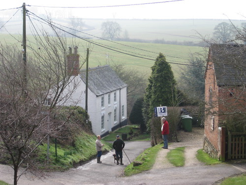
We dropped into a green lane, the hedges thick with wild fruit – elderberries, hips, haws, milky white hazelnuts and blackberries green, red and polished jet. Beyond lay Withcote Hall Farm, the stables and big house of beautiful gold stone falling into dereliction.

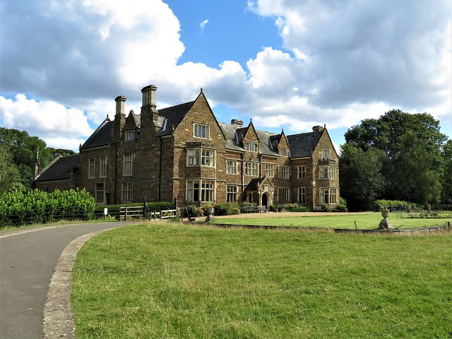
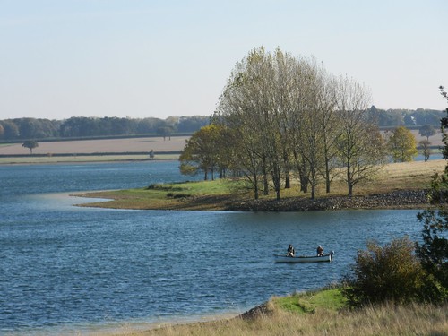
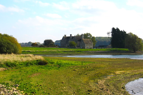
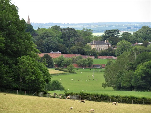
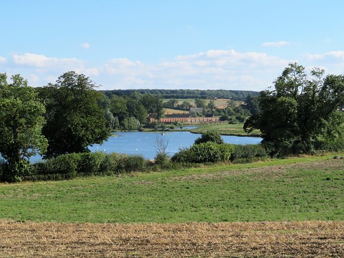
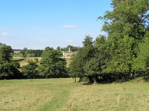
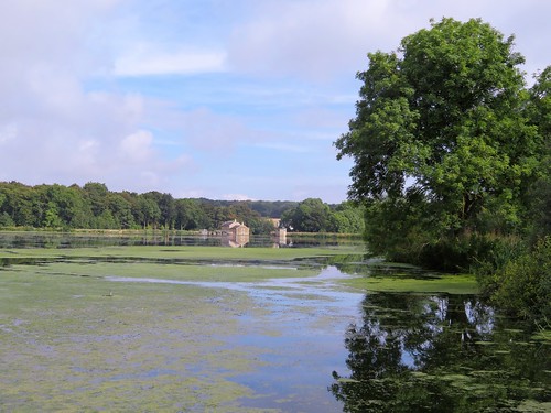
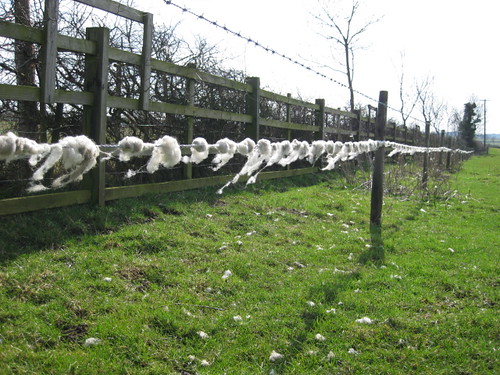
At Launde Abbey we stopped for tea and cakes. The magnificent Tudor house built by Thomas Cromwell’s beloved son Gregory looked out on a bowl of parkland and sheep pasture, as peaceful and soothing as could be.

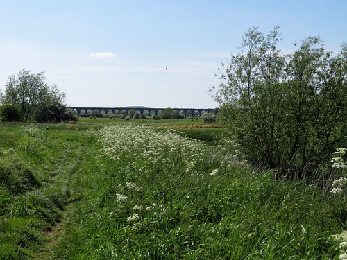
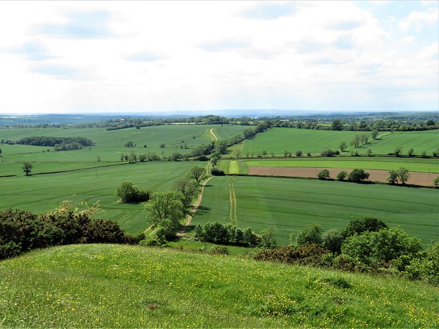
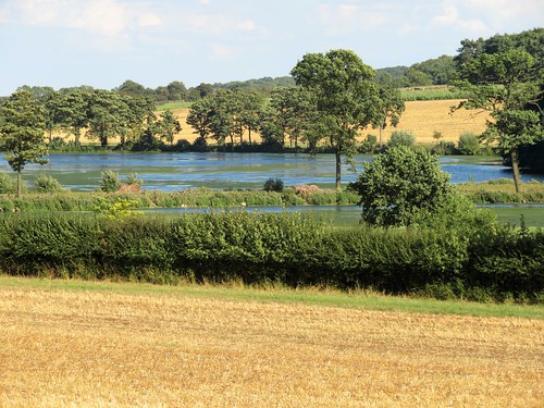
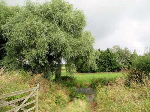
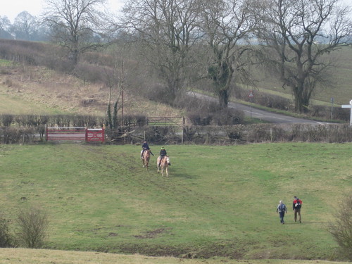
The way home lay along the valley of the wriggling River Chater, diminished to a streamlet after the long hot summer. In the green grassy bridleway near Leigh Lodge we met a couple hastening along, bearing plastic bags bulging with ripe blackberries. ‘Blackberry wine!’ they beamed.

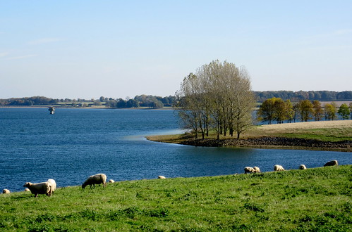
A flock of linnets bounced and chirruped in the hedge. The shadows of sheep lengthened across the pastures as the sun dipped, bringing a wash of late afternoon gold to this quiet corner of English countryside.

Start: Blue Ball, Braunston-in-Rutland, LE15 8QS (OS ref SK 833066)

Getting there:
Braunston is 2 miles SW of Oakham (A606)

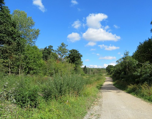
Walk (8½ miles, easy, OS Explorers 234, 233): From west side of church tower, through gate (yellow arrow/YA); on, parallel with hedge on right. In 3rd field fork left (825065) along left-hand hedge and on (YAs, yellow-topped posts/YTP). In 3rd field beyond South Lodge Farm, half left (814057, YA) to far top corner (812056, YTP). On to hedge gap (810054, YTP). Right, then right along green lane. At road, left (809060, stile, YA) across 2 fields to lane (805060). Dogleg right/left; on (YTPs) to Withcote Hall Farm (798058). Left around barn; at gate with YTP, left along fence (‘Leicestershire Round’/LR). At Dutch barn 798056, gate, YTP) ahead over hill, following YTPs to road at Launde Abbey (796044).

Left; in 150m, right (fingerpost, ‘Belton’) following LR (YTPs). In 1¼ miles, LR turns right (815044), but keep ahead/east for 1 mile. Opposite Leigh Lodge, half left (828041, stile, YA, ‘Rutland Round’) across field to lane (825045, stile, YTP). Right to corner; fork right; keep ahead up west side of Priors Coppice. On to road (831059); right to Braunston.

Lunch: Blue Ball, Braunston (01572-722135, theblueballbraunstone.co.uk). Pop in for drinks, or book ahead for 2-hour dining slot (text/WhatsApp 07377-954176)

Accommodation: Admiral Hornblower, High Street, Oakham LE15 6AS (01572-723004, hornblowerhotel.co.uk)

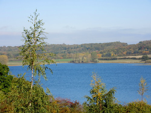
Info: Rutland Water TIC (01780-686800)
satmap.com; ramblers.org.uk

 Posted by at 00:43
Jun 082019


First published in: The Times Click here to view a map for this walk in a new window
picture picture picture picture picture picture
Facebook Link:

It’s always a pleasure to walk with a dog, especially one as full of fizz as Ozzy the black retriever. Our friends Carry and Gordon had brought him along to enliven our 10-mile circuit of the woods and fields along the borders of Rutland and Northamptonshire, and Ozzy more than did his bit.

A hot, cloudless day, last in a brilliant spell of walking weather, had us setting out in good time from Barrowden, a village of creamy oolitic limestone, like a segment of the Cotswolds dropped by a benevolent djinn on the uplands of the River Welland’s wide, fertile valley.

Soon the pale stone spire of Barrowden church sank behind, and we were following the Jurassic Way long distance path through the cool rides and sun-splashed glades of Wakerley Great Wood. This swathe of ancient woodlands is now a playground for Sunday cyclists, rovers and family groups. In the meadows on the far side of the wood we found a golden road spread before us, a path strewn thickly with buttercups.

Inquisitive little black Dexter cattle snuffed cautiously at Ozzy, and he rolled off their scent in the half-grown hay meadows around Laxton Hall. A Polish picnic party was in full swing in the grounds of the hall, the chatter and laughter soon falling away under blackcap song in Town Wood.

Beyond Laxton we rejoined the Jurassic Way and headed north through green cornfields where Ozzy breasted the tides of leaves, only his head showing, like a cross-channel swimmer. Ahead opened a memorable view, the wide Welland Valley with may bushes laden white, church spires poking up among the fields, and the 80 arches of the Welland Viaduct striding majestically from one side to the other. It took 400-odd navvies three years to build this fantastic structure, opened in 1878 – they used thirty million bricks, camped out in the fields, and caused local consternation.

Our way home lay along the snaky curves of the River Welland. Ozzy swam after sticks, the buttercup fields were flooded with gold, and the slim silvery needle of Barrowden spire beckoned us on like a harbour light beyond the green seas of wheat.

Start: Exeter Arms, Main St, Barrowden, Rutland LE15 8EQ (01572-747365, exeterarmsbarrowden.co.uk) (OS ref SK 946001)

Getting there: Bus 47 (Uppingham-Peterborough); 12 (Stamford-Uppingham)
Road – Barrowden is signed off A43 (Corby-Stamford) and A47 (Peterborough-Leicester)

Walk (9½ miles, field and woodland paths, OS Explorer 224): From Exeter Arms cross green; left along road. At corner with 2 fingerposts/FPs (950000), fork right downhill, over field, under railway bridge to road in Wakerley (951996). Left; just beyond road on left, right up path on right of Exeter House (955994, ‘Jurassic Way’/JW). Follow JW to road (958991); right for 700m, then right (962986) onto JW with car park on right.

Follow JW waymarks through Great Wakerley Wood. In 700m past Post No 6 (965979, green with red ring). Right along ride; in 20m, left uphill into St Mary’s Wood. In 250m, leave wood; on over meadows. In 2nd meadow JW goes left through gate, but bear right here (968974) on bridleway (black arrows/BLA). In ½ mile arrive opposite Laxton Hall (959972); bear a little right to far corner of wood on your right. Into wood here (955971, gate, BLA).

Keep ahead; in 500m, left at ‘No Horse Riding’ notice (950970, BLAs) through Town Wood for 500m to leave wood (950968). Cross field and stile to track by house (951962); right to road; right through Laxton. In ½ mile, left (942961, stile, FP); half right across field; half left across next field (BLA) to gate and road (937958). Left; in 100m, right (FP) on track; after 3 fields, right on JW (930956) with wall on right, for ½ mile to road (928964).

Left; in 30m, right (stile, JW); left through hedge gap; half right across field and down to lane into road in Shotley. Forward to cross road (924974, FP); cross field to River Welland (923978); right on Jurassic Way. In ½ mile cross Turtle Bridge (928985); in 150m, just before old railway bridge, right through hedge (YA, JW). Half left to hedge beside old railway line; right along it. In ¾ mile, left across line (937993, stile, CPRE yellow arrow); right along far side of old railway. In 400m, half left (940995, CPRE arrow) across 3 fields to road (943001); right to crossroads; right down Main Street to Exeter Arms.

Lunch/Accommodation: Exeter Arms, Barrowden (01572-747365, exeterarmsbarrowden.co.uk) – friendly village pub with rooms.

Info: discover-rutland.co.uk; northamptonshiresurprise.com; satmap.com; ramblers.org.uk

 Posted by at 01:34
Nov 142015


First published in: The Times Click here to view a map for this walk in a new window
picture picture picture picture picture picture picture picture
Facebook Link:

Upper Hambleton stood high and handsome on its green ridge this autumn morning, its rosy stone houses glowing in clear sunshine under a china blue sky. It was the village’s hilltop position that saved it when the Gwash Valley was flooded in the 1970s to create the giant man-made lake of Rutland Water.

Ever-expanding Peterborough’s thirst for fresh water saw the villages of Middle and Nether Hambleton drowned beneath the reservoir’s rising waters, but their elevated neighbour escaped the tide. Now Upper Hambleton sits in solo splendour across the neck of a long peninsula extending into the great sheet of water that lies at the heart of Britain’s smallest county.

We found a pathway down to the water’s edge below the village, and followed a gravel-surfaced shared access track (cyclists and pedestrians, a sometimes uneasy mix) along the northern shore of this peninsula. The far shore, a smother of trees, was splashed beautifully in scarlet, gold and green.

Rutland Water is famous for the number and variety of birds that spend the winter here. We watched great crested grebe ducking and diving in the steel-blue water. A flight of tufted duck, a couple of hundred strong, went beating across the lake in black-and-white flickers. Chestnut-headed pochard coasted close to the shore, and a little further out bobbed a group of goldeneye with glossy green heads and brilliant gold eyes. Everyday birds made marvellous by the power of binoculars and the clarity of so much autumn light over such vast stretches of water.

The track wound along the lake shore through the skirts of Armley Wood, where ash, oak and hazel leaves filtered the sunlight into translucent shards of lime and lemon. ‘Just coming up behind you… slowly,’ came the quiet voice of a cyclist – a thoughtful warning, less jarring than a bicycle bell. Beyond the wood the path rose among fields all a-clatter with a tractor and harvester reaping a crop of maize.

The Hambleton peninsula is great family day out territory. A bunch of children went squealing and skittering by. ‘I’ve got a wobbly tooth,’ confided one lad. ‘And I’m seven already!’

At the tip of the peninsula we turned back along the south shore, looking across to Edith Weston’s spire. Pairs of teenagers were scudding about in sailing dinghies, chivvied by instructors yelling from a rubber boat. On an isolated ness stood the Jacobean mansion of Old Hall, gabled and mullioned, sole survivor of the two drowned villages, marooned on the shore beside the water that swallowed them.

Start: Finch’s Arms PH, Upper Hambleton, Rutland, LE15 8TL (OS ref SK 900076)

Getting there: Road – from A6003 roundabout just east of Oakham, follow A606 (‘North Rutland Water’). In ½ mile, right to Upper Hambleton.

Walk (5 miles, easy, OS Explorer 234. Online map, more walks at christophersomerville.co.uk): From Finch’s Arms, left along village street. In 150, opposite pillar box, left down drive (fingerpost) to lake shore. Right along shared access trail, clockwise round peninsula. In 4½ miles, pass driveway to Old Hall (899071); in another 500m, right over stile (895075, yellow arrow). Up field to top corner (898076); cross successive stiles; narrow fenced path to Upper Hambleton.

NB: The shared access track is very popular with cyclists at weekends, so keep your eyes and ears peeled!

Lunch/Accommodation: Finch’s Arms, Upper Hambleton (01572-756575, finchsarms.co.uk) – smart and comfortable.

Birdwatching: Anglian Water Birdwatching Centre, Egleton, Oakham LE15 8BT (01572-770651, rutlandwater.org.uk)

Info: Rutland Water Visitor Centre (01780-686800), discover-rutland.co.uk visitengland.com satmap.com; ramblers.org.uk

 Posted by at 01:58
Oct 092021


First published in: The Times Click here to view a map for this walk in a new window
picture picture picture picture picture picture picture picture picture

The track to Burrough Hill ran through pastures corrugated by medieval ridge-and-furrow, and rubbed to billiard table smoothness by sheep. On this hot cloudless afternoon they lay in any shade they could find, ewes sweltering in heavy fleeces, lambs panting like little steam engines at three breaths a second.

The ramparts of Burrough Hill’s splendid Iron Age hill fort stood ahead, an undulating line of turf-covered stone whose hollows spoke of millennia of weathering, trampling and quarrying. We walked the circuit, pausing at the topograph to spy out the hazy towers of Leicester, the red brick smear of Melton Mowbray and the charmingly named Robin-a-tiptoe Hill.

The path led steeply down the north face of the fort, past a crowd of young bullocks too hot and sleepy to follow us, and on through the cool avenue of ash and beech in Rise Hill Spinney. A seat placed for the northward view was presented by two foresters, Jack Atton and Terry Darby, who spend nearly twenty years in the 1980s and 90s planting the trees that now cover these hillsides.

Turning south, we followed the Leicestershire Round long distance path through the parkland of the Dalby Estate, looking back to where Little Dalby Hall peeped from a collar of trees. A short sharp climb led to uplands characteristic of these Leicestershire Wolds, broad corn fields and plough, the hedges dotted with pink spindle berries, where the dip and roll of the land hid the nearby fort on Burrough Hill.

Did Mrs Orton, farmer’s wife, produce the world’s first Stilton cheese in this parish in 1730? Certainly they claim she did in nearby Somerby, where the village pub is named after the pungent delicacy. But should you fill the hollow in your truckle of Stilton with crusty port? That debate is still open.

Beyond Somerby we skirted the rim of a dry valley where ridge-and-furrow plunged down the flanks, testament to the exploitation of every bit of land by our hungry medieval ancestors. Under a pearly evening sky we made for the ramparts of Burrough Hill, now in full view ahead once more. The homeward path skirted the hillfort, a green track through thickets of gorse above which rooks flocked on their homeward flight.

Flora: spindle berries
Birds: rooks (nothing prettier, sorry!)

How hard is it? 6 miles; easy; well-marked field paths

Start: Burrough Hill car park, Burrough Road, Somerby, Leics LE14 2QZ (SK 766115)

Getting there: Bus 100 (Syston-Melton Mowbray)
Road – Car park signed off Somerby-Burrough on the Hill road (signed from A606 Oakham-Melton Mowbray)

Walk (OS Explorer 246): Up signed track to Burrough Hill. Clockwise round ramparts via topograph. At north side near cut tree trunks (761121), descend past yellow-topped post/YTP to gate (763122, YTP, yellow arrow/YA) and on. In 450m, ahead through wood (767124, ‘Leicestershire Round’/LR). In ⅔ mile, at T-junction, right (775126, Dalby Hill Path’) and follow YTPs. In 300m up steps (775123); diagonally across field; follow LR/YTPs) for 1 mile to road in Somerby (778106). Right; in 200m, right (776105, ‘The Field’) to cross road (775107). On across fields (‘Public Footpath to Borough on the Hill’). In 400m at kissing gate, right (771108); follow fence on your right (YAs) round top of dry valley. Descend to cross stream (763107); aim for pole on knoll, then to left of house with prominent window. Right at road (758109); in 50m left (YTPs) across fields. In ¾ mile at YTP with LR arrows (756119), right past Burrough Hill to car park.

Lunch: Stilton Cheese Inn, Somerby (01664-454394, stiltoncheeseinn.co.uk)

Accommodation: Admiral Hornblower Hotel, High Street, Oakham, Rutland LE15 6AS (01572-723004, hornblowerhotel.co.uk)

Info: leicscountryparks.org.uk

 Posted by at 01:46
Mar 112017


First published in: The Times Click here to view a map for this walk in a new window
picture picture picture picture picture picture picture picture picture picture picture
Facebook Link:

In the west window of All Saints’ Church at King’s Cliffe, an upside-down angel plays the lute with spatulate fingers. Whoever re-assembled these fragments of medieval glass got some sly fun out of the job. Opposite the lutanist, another angel strums a dulcimer – an angel with the head of a pompous-looking eagle.

The streets and narrow alleys of King’s Cliffe are lined with handsome houses of creamy limestone, very characteristic of this north-eastern corner of Northamptonshire. Under today’s blue sky they glowed with a light as soft and silvery as moonshine.

Up on the slope above the village we followed the Jurassic Way, a broad track that snakes through the ancient woodland of Westhay and Fineshade Woods, a remnant of what was once the great sprawl of Rockingham Forest. These days forestry and leisure go together here. Families strolled and walked the dog, runners thudded by, and coveys of kids on bikes competed to ‘do a Wiggins’ up the slopes and down the dips.

We ducked aside among the trees to peer over the edge of a precipitous jungly ravine, the deep cutting where the goods trains of the London & North Western Railway once rattled immense loads of limestone through the woods and away to the outside world. A cup of tea at a table outside the Top Lodge Forest Café, and we turned south along the Jurassic Way into a green valley. A striking set of Palladian stables lay in a fold of ground, all that remains of the grand Georgian house that was built on the site of Fineshade Abbey. Up across a ridge of sheep grazing, and down again towards the wide valley of the Willow Brook where Blatherwycke Lake turned its polished steel face to the blue sky.

Blatherwycke’s 19th-century estate houses lead down to a beautiful zigzag bridge over a neck of the lake. As at Fineshade, a great country house stood here until a post-war decline in fortunes saw it demolished. We passed the Norman church under horse chestnuts and beeches, and followed a broad path planted with young trees – chestnut-leaved oak, black mulberry, tulip tree – through rolling parkland and cornfields. The sun shone, shadows lengthened, and the Willow Brook chuckled and sparkled as it guided us on towards King’s Cliffe.

Start: Cross Keys Inn, King’s Cliffe, Northants, PE8 6XA (OS ref TL 007971)

Getting there: Bus – CallConnect service (0845-263-8153)
Road – King’s Cliffe is signed from A47 between Duddington and Wansford

Walk (7½ miles, easy, OS Explorer 224): From Cross Keys, right along West Street. At edge of village, right (001972) up Wood Lane. In 500m, left at barrier (SP 998976). Follow waymarked Jurassic Way/JW through Westhay and Fineshade Woods for 1½ miles to Top Lodge café (979983).

Bear left along road; just past railway bridge, left and follow JW southwest. Just past Fineshade Abbey stables, JW goes right across concrete footbridge (972975); but keep ahead here. Cross stile; bear left up field, then aim for gateway on ridge at left end of hedge (972972). Follow fence on right to far end of field; right across stile (973970). Half left across field, aiming for Blatherwycke Lake; field path for 800m to road junction (971962); right (‘Blatherwycke’). In 600m cross bridge; in another 200m, left (973955, ‘Historic Church’) up drive to Blatherwycke Church (974958).

Continue along drive (black arrows/BLA, then yellow arrows/YA). In ¾ mile, just before ‘Private: No Right of Way’ notice, left through hedge (984964, BLA). Continue with hedge on right to pass through Alders Farm (989966). On through fields (YAs, BLAs, stiles); in ⅔ mile, left across footbridge (998968, BLA); on across fields and past allotments to King’s Cliffe. Ahead along Church Walk (002971) for 600m to church; left to Cross Keys Inn.

Lunch: Cross Keys Inn, King’s Cliffe (crosskeyskingscliffe.uk; 01780-470276), or Top Lodge Café, Fineshade Wood.

Accommodation: Old White Hart, Lyddington, Oakham, Rutland LE15 9LR (01572-821703, oldwhitehart.co.uk) – friendly and cheerful village inn.

Info: Stamford TIC (01780-755611)

Kempley Daffodil Weekend walks, Glos: 18, 19 March (daffs.org.uk)

visitengland.com; satmap.com; ramblers.org.uk

 Posted by at 01:31
Sep 112010
 

First published in: The Times Click here to view a map for this walk in a new window
picture picture picture picture picture picture picture picture
Facebook Link:

Early morning over the Leicestershire wolds, cold and foggy, with a Sunday morning slumber over the golden stone village of Hungarton. Rose Cottage, Pear Tree Cottage, Lilac Cottage: they snoozed, one and all. The cat-like gargoyle on the tower of St John the Baptist’s church lifted a silent howl into the mist as I slipped out of the village past grazing horses and over a kale field, my boots already clotted with dark clay soil. Sheep came running up to lick my fingers with their stiff tongues and butt my knees gently with their woolly foreheads.

The 15th-century moated manor of Ingarsby Old Hall, its house and barns beautiful in rich gold and pale silver oolitic stone, presides in isolation over a field of hummocks and hollows, seamed across with deep old trackways – all that’s left of the deserted village of Ingarsby, the property of the Canons of Leicester Abbey in medieval times. In 1469, in the middle of a wool boom, the abbey enclosed and hedged the land for sheep, forcing the crop-growers of Ingarsby to abandoned their homes and fields. It was a ghostly place to wander, the grassy humps sparkling with dew and buttered with sunlight cutting through the mist.

Ingarsby is one of half a dozen abandoned medieval villages in this rolling corner of Leicestershire. From Ingarsby I followed a slowly plodding horse across fields trenched with the ridge-and-furrow of strip farming, up to Quenby Hall. This magnificent red-brick Jacobean pile, a palace in the wolds, is a different and more showy order of architecture from the domestic enclave of Old Ingarsby. The village of Quenby lay reduced to a patch of ridge and furrow in the smooth, lawn-like parkland. Beyond, the abandoned settlement of Cold Newton was an echo of the Ingarsby model, all slopes, humps and slanting house platforms.

From this haunted landscape of abandonment I followed the gentle green valley of the Queniborough Brook. A bedlam of cawing from the rookery in Carr Bridge Spinney; seven horses nosing an ancient oak tree at Bell Dip Farm; the handsome pale stone Baggrave Hall on a knoll above its still lake. The park still carried faint ridges of the vanished fields of Baggrave village. There is deep poignancy in such landscapes. But the well-laid hedges around Waterloo Lodge Farm, and the beautifully looked after sheep in the homeward fields, were proof that not all the old agricultural traditions are gone from this countryside.


Start & finish: Black Boy Inn, Hungarton, Leics LE7 9JR (OS ref SK 690075)

Getting there: Train (www.thetrainline.com; www.railcard.co.uk) to Leicester (7 miles). Bus (www.rutnet.co.uk): Rutland Bus Rural Rider 5, 6, 11 (Sat. and Wed.) to Black Boy, Hungarton. Road: Hungarton signposted off A47 at Houghton-on-the-Hill, between Leicester and Uppingham

Walk (8½ miles, moderate, OS Explorer 233): Black Boy Inn – Hungarton Church – south by lane and field paths to Ingarsby Old Hall – road/footpath triangle through Ingarsby deserted village, back past Old Hall (685053). Bridleway for 1½ miles by Quenby Hall to road (713064). Footpath north through Cold Newton deserted village; ahead to road (717077). Follow Queniborough Brook NW (Carr Bridge Spinney, Hall Spinney) past Baggrave Hall to road (698091). Baggrave Park; Waterloo Lodge Farm; past Watson’s Spinney; south across fields to Black Boy Inn.

NB – Detailed directions (highly recommended!), online map, more walks: www.christophersomerville.co.uk

Lunch: Black Boy Inn, Hungarton (0116-259-5410; www.theblackboyhungarton.co.uk)

Accommodation: Nevill Arms, Medbourne (01858-565288; www.thenevillarms.net) – delightful, friendly village inn

More info: Leicester TIC (0844-888-5181; www.goleicestershire.com)

www.ramblers.org.uk; www.satmap.com

Coast Along for WaterAid: Sponsored walks day, 11 September (info 01225-526149; www.coastalongforwateraid.org)

 Posted by at 00:00