First published in: The Times Click here to view a map for this walk in a new window


Facebook Link:

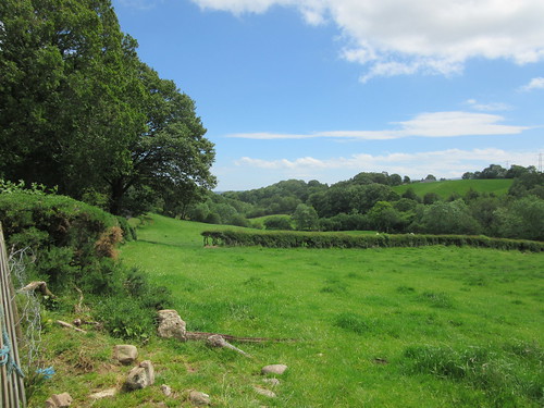
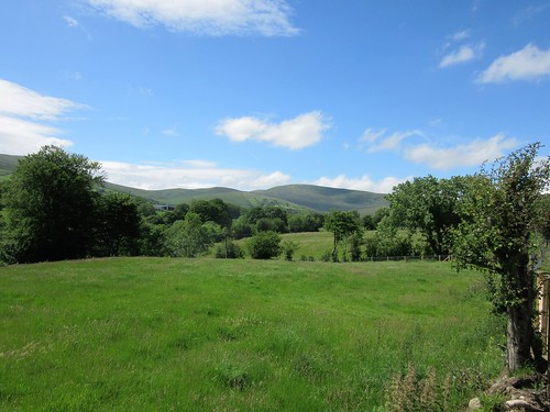
Drumderg Road runs west out of Moneyneany, shedding tarmac and houses as it gains height, with the eastern fells of the Sperrin Hills rising ahead. On this muggy midsummer day the verges were bright with vetches, foxgloves, speedwell and buttercups. The sharp yellow of tormentil and a white froth of heath bedstraw heralded the switch from rushy lowland sheep pastures to peat moors as the road lifted into a dark, wild upland of blanket bog under heavy grey clouds.
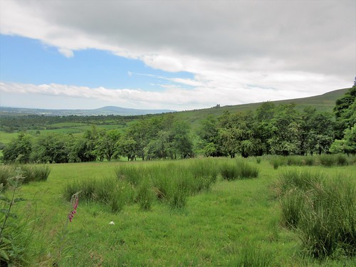
We reached the saddle between Crockmore (‘The Big Hill’, in actuality a flattened dome) and Crockbrack (‘The Speckled Hill’, a dun-coloured ridge). The far views were tremendous – Slieve Gallion lumping up in the south-east, Benbradagh raising a snub snout in the north-west, and all round a rollcall of Sperrin heights – Craigagh and Spelhoagh, Slievavaddy with its winking eye of a lough, Sawel Mountain’s dominant 678 m cone.
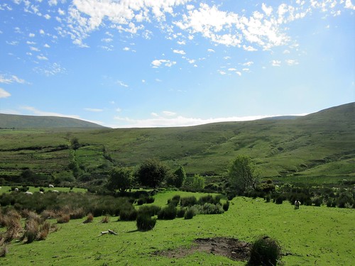
These rolling, peat-blanketed hills seem wilder than any other range in Northern Ireland, because you rarely see another walker up here. So Jane and I were saying to each other as we descended from Crockbrack, muffled against wind and rain, towards the deep cleft where the Drumderg River springs. Then a vision in T-shirt and shorts shot by. Noel Johnston from Belfast was doing a sponsored expedition to raise money for a charity bringing divided communities together. He’d tramped a long way, sleeping rough, and had a long way to go – another of those admirable youngsters putting their time and energy into making a better post-Troubles Northern Ireland.
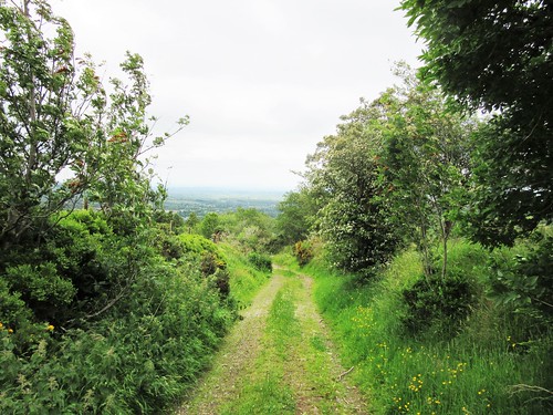
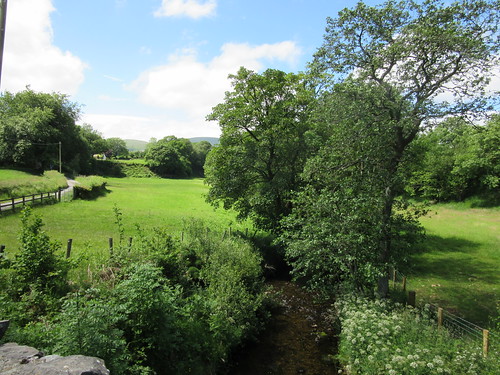
By the time we’d got down into the dell, Noel was long gone over the horizon. We sat there on two picnic rocks, munching wheaten bread and chocolate mints like lords, savouring lark song and the soft hushing whisper of wind in rushes. Then we went steeply and boggily up to our third summit, Craigbane (‘The White Hill’, a sombre swelling) and found the long road home, a mountain track that fell gently away towards Moneyneany. The plains of Antrim lay spread in sunshine at our feet, cradled by the slopes of Craigagh and Crockmore, with a silvery gleam of Lough Neagh to beckon us down from the hills.
Start: Trailhead info board at Mulligan’s pub, Moneyneany, Co. Derry BT45 7DU (OS ref H 754965)
Getting there: A6, A31 to Magherafelt; B40 to Draperstown and Moneyneany.
Walk (7½ miles; moderate hillwalk, sometimes boggy, well waymarked; OSNI Activity 1:25,000 ‘Sperrins’ map. Walk downloadable at walkni.com. Online map, more walks at christophersomerville.co.uk): From pub car park, right along B40; in 30m, left up Drumderg Road (occasional yellow arrows/YAs, and ‘Crockbrack Way’/CW waymarks) for 2½ miles. At first cattle grid, tarmac changes to stones; at 2nd one, keep ahead; at 3rd one, at Crockmore summit, ignore stile on right and keep ahead (725956, CW, YA). In 100m at T-junction, right (YA) on bog road towards Crockbrack. In ½ a mile, right (717955, YA) up grassy track. In 200m, left (YA) to cross stile. Descend beside fence on left for 600m to fence running right (712959, YA). Follow it to right, steeply down to cross Drumderg River’s headwaters. Continue up fence on far side (sloppy, boggy!) to cross stile at top (711970). Right (CW, YA) down stony road, then tarmac, for 3¼ miles to B40 (749974). Right to Mulligan’s pub.
Lunch: Picnic; or Apparo Hotel, Draperstown (4 miles) – 028-7962-8100, apparorestaurant.com
Accommodation: Laurel Villa, Magherafelt, Co. Derry postcode (028-7930-1459, laurel-villa.com) – homely, helpful, spick-and-span B&B.
Info: Magherafelt TIC (028-7963-1510)
Northern Ireland’s Year of Food and Drink 2016: discovernorthernireland.com satmap.com; ramblers.org.uk