First published in: The Times Click here to view a map for this walk in a new window


Facebook Link:

The Royal Geographical Society has just launched its ‘Discovering Britain’ project (discoveringbritain.org), exploring dozens of landscapes through walks great and small. On a gorgeous summer’s afternoon we set out from the Wiltshire village of Tilshead to follow one of the RGS walks through the heart of Salisbury Plain.
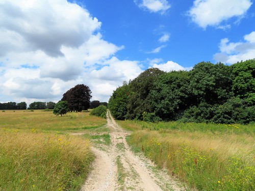
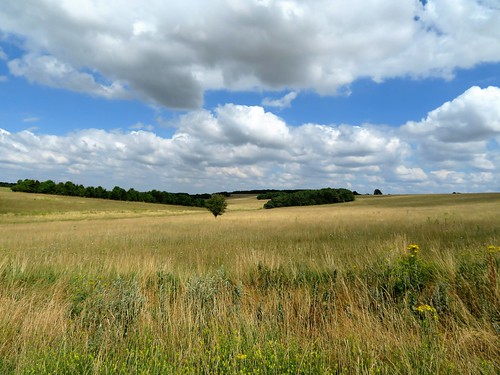
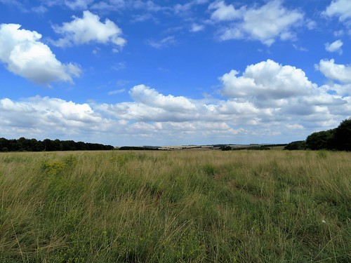
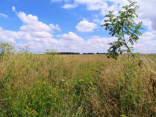
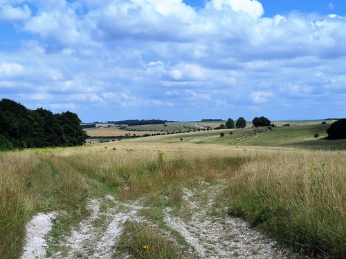
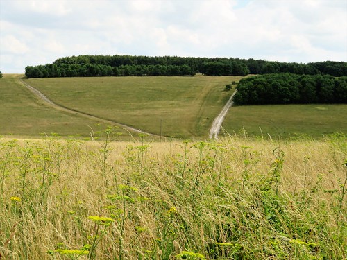
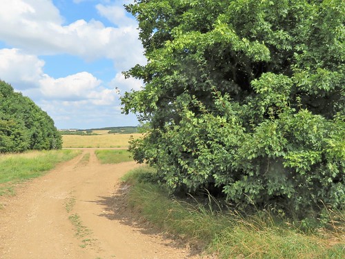
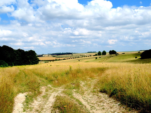
Stepping off the road into the vast Ministry of Defence preserve of Salisbury Plain feels like slipping through the screen of time into the pages of a book by Edward Thomas or W.H. Hudson. The past hundred years might never have existed. Here are no motor roads, no housing developments, no industry. These dense, flower-rich, unimproved chalk grasslands, Europe’s most extensive tract, have never known modern ploughing or farm chemicals. They have remained in this pristine, prelapsarian state thanks to the activities of the MoD, which uses the plain for military training to the exclusion of all other activity.
A mile or so down the white-dusted chalk track we passed the enormous Old Ditch long barrow, one of the longest in UK, over 400ft from end to end. These ancient monuments, too, have escaped the plough and the developer’s JCB – though one or two have occasionally collided with a tank.
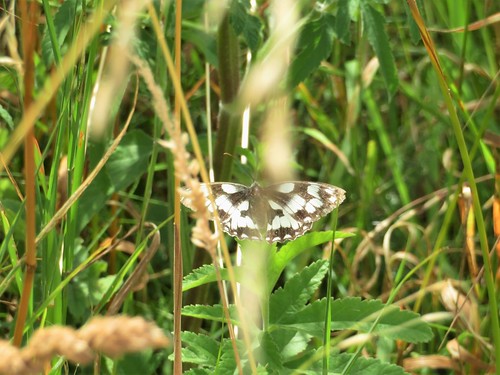
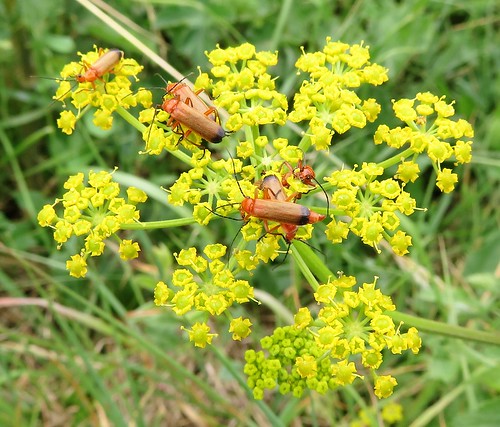
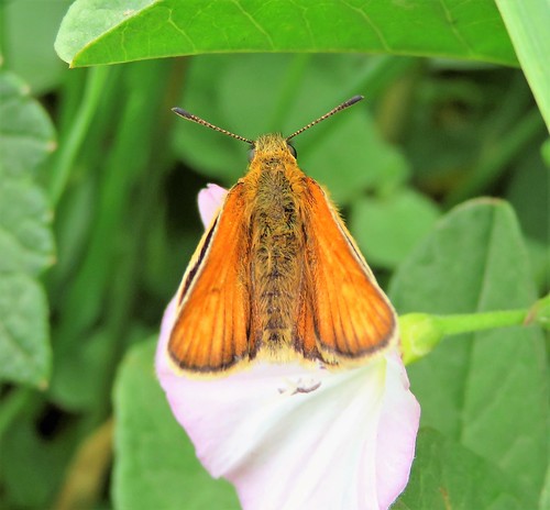
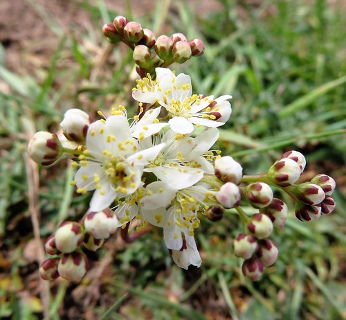
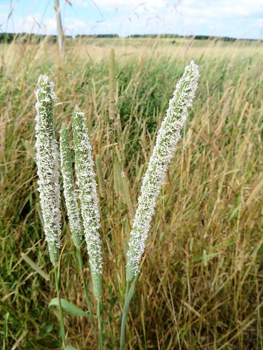
The richness of the chalk grassland flora had us exclaiming out loud – a palette of colour and variety really astonishing to walkers accustomed to the thin pickings of England’s 21st century landscapes. Vivid royal blue of viper’s bugloss, round lacy powder-puffs of field scabious, buttery sprigs of yellow rattle, sanfoin’s convex pink petals like stripy Shakespearean breeches. Butterflies kettered and zigzagged over the grasses – clouded yellows, small skippers, marbled whites, chalkhill blues. Over all lay the soporific hum of bees and hoverflies busy among the flowers.
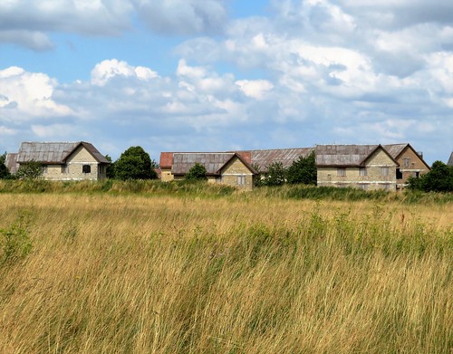
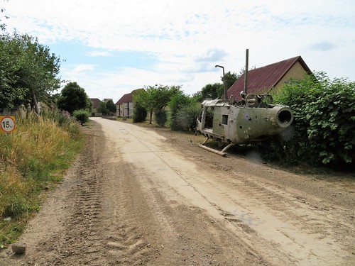
There were one or two soldiers, of course – cheerful, courteous men who stopped their bouncing carriers to enquire whether we were having a nice day before roaring off into the ‘German village’. This mock-up of a Bavarian township was built for Cold War practice against imaginary Russian invaders on the plains of Germany, and is still in use for training soldiers in fighting techniques in built-up areas.
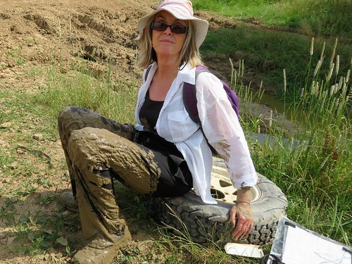
We left the eerie, hollow-eyed dummy houses behind and took the homeward track across the flowery grasslands among pink mallows and great purple knapweed blooms. There are hidden hazards for the unwary in this timeless paradise, though. One of us stepped onto an innocuous-looking mud patch, went in up to the hips, and had to be hauled squelchingly out. It wasn’t me, that’s all I have to say on the matter.
Start: Rose & Crown PH, Tilshead, Wilts SP3 4RZ (OS ref SU 033480)
Getting there: Bus service 2, Devizes-Salisbury. Road – Tilshead is on A360 between West Lavington and Shrewton.
Walk (7 miles, easy, OS Explorer 130): From Rose & Crown, left along A360. In 150m, right beside Ash Tree House gateway. Follow this lane (‘Restricted Byway’) for 500m to A360 (030479). Left; in 100m, on right bend, ahead up minor road (‘Chitterne’). At top of hill, left (024476, ‘No access for civilian vehicles’). Pass water tower on right; in 50m, fork right along main track. Into dip; ahead uphill to go through trees. In 100m, right (026469) with beech belt, then Long Barrow on right. In ⅔ mile, left (017465) on gravel road. Into dip; at top of rise beyond, right (019456, ‘Byway’) through trees. At 3-way fork just beyond, take right-hand track, passing mock village on your left.
In ½ mile cross gravel road (012455); in 150m, left up dirt road. In ½ mile at 6-finger post (013448) take 2nd track on left (‘Permissive Byway’), passing to right of mock village. In ½ mile, at crossroads with Byway signs pointing behind and ahead (021452), left between hedges. In 200m at ‘village gates’, right (020455, ‘Byway’). In 300m, ten metres before T-junction, left (023455, green ‘Byway’ sign/GB) up rutted, grassy track.
In ½ mile pass trig pillar on right, then cross gravel road (028462, GB). On along grassy track, with Westdown Camp ahead. In ¼ mile join gravel road (031467, GB) and continue past White Barrow (033469). In another ¼ mile, just short of A360, left (035471, ‘Imber Range Path’) on grassy track. In 700m, right (‘Restricted Byway’) to A360; left to Rose & Crown.
Lunch: Rose & Crown, Tilshead (01980-621062, roseandcrowntilshead.com)
Accommodation: Rollestone Manor, Shrewton SP3 4HF (01980-620216, rollestonemanor.com)
Info: Salisbury TIC (01793-530328 or 466454)