First published in: The Times Click here to view a map for this walk in a new window
Facebook Link:

The little sloping market town of Alston lies among the North Pennine hills. Stone-walled lanes lead away from the town across the fells, and I found one to follow southwards along the eastern flank of the River South Tyne.
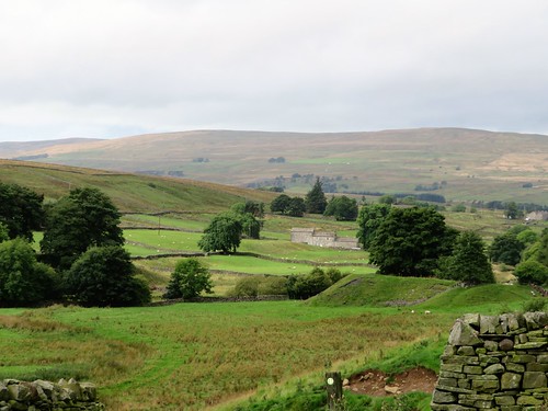
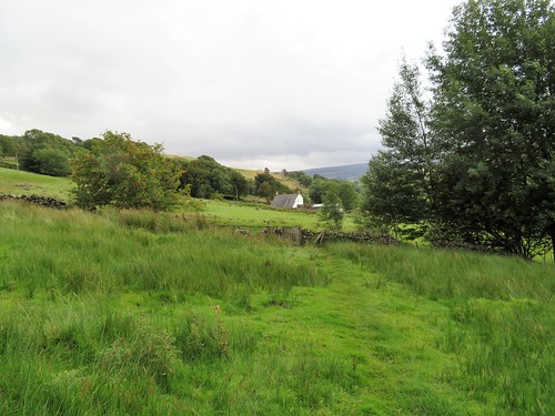
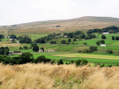
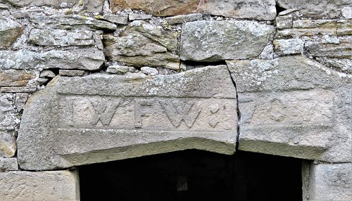
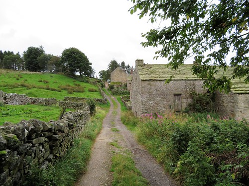
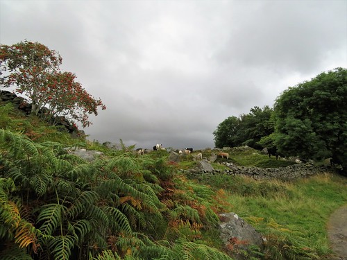
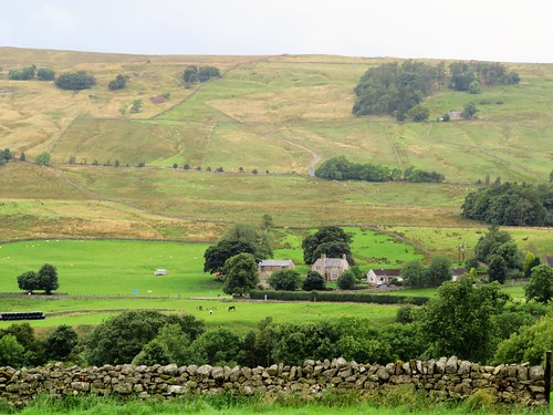
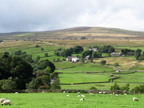
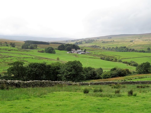
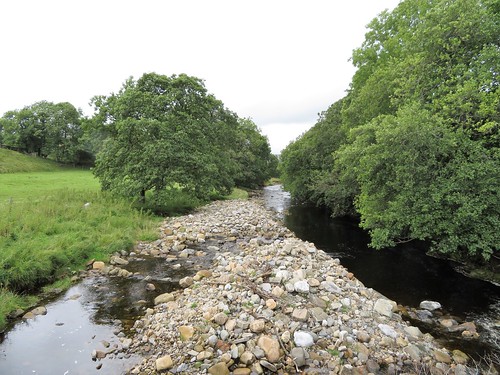
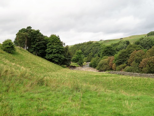
In front of me jolted the postie in his red van, delivering letters to a string of farmsteads. At Fairhill, farmyard ducks waddled among superannuated tractors. The immensely solid walls of the house and byre at Annat Walls betrayed their origins as a pair of bastles, fortified farmhouses built when this was a lawless countryside where folk lived in fear of robbery and murder. The view today was a sublime Pennine prospect, down sheep pasture to the river, up the green inbye fields of the far slopes, squared off with a wriggle of stone walls, then further up to rough moor slopes with the dimples and velvet nap of former lead mining sites.
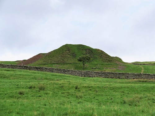
Big grey rain clouds were jostling up from the west. They sat fatly on the hilltops and glowered down, threatening an afternoon deluge. I got a hustle on, hurrying across the mossy cleft of Nattrass Gill and past Bleagate and Low Sillyhall, where the fellsides had been newly planted with thousands of trees – oak, rowan, hawthorn and alder. By contrast, conical lead-mine heaps stood like miniature alps above the empty house and byres of Low Craig.
The tiny settlement of Garrigill, tucked in round its village green, was once a loud and lively lead mining centre. Later it became a hub for walkers on the Pennine Way National Trail. Last time I was in Garrigill, the George and Dragon Inn had been bursting at the seams with wet, hungry and peat-plastered hikers. I was one myself, having got horribly lost in a pea-soup mist on the heights of Cross Fell.
Today, hardly a bird stirred in beautiful little Garrigill. The pub had given up the ghost. So where were all the walkers? ‘Too many trails to choose from nowadays,’ said the village postmaster. ‘The old Pennine Way’s a bit rough for most of ’em, you see.’
I fancied a bit of rough, as it happened. So I followed the old Pennine Way through quiet sheep pastures beside the River South Tyne back to Alston, with wind and rain and sunbursts competing to chase me all the way.
Start: Alston Market Place, Alston, Cumbria CA9 3HS (OS ref NY 719465)
Getting there: Bus 681 (Hexham-Haltwhistle-Alston).
Road – Alston is at junction of A686 and A689, signed from A69 (Newcastle-Carlisle)
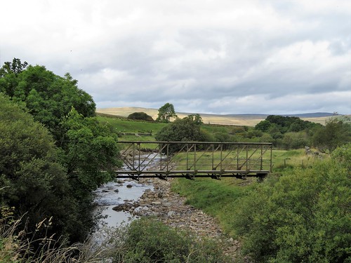
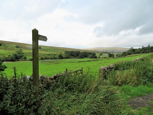
Walk (8¾ miles, easy underfoot, OS Explorer OL31): Downhill, and follow A686 (Penrith). Just before river bridge, left (717462, ‘Pennine Way’/PW) through stile, up steps. Right (PW); in 200m, left (green arrow) up through cemetery and walled lane. Right at top (720460) along lane for 1 mile, following yellow arrows/YA past Fairhill (720456) and Annat Walls (720451) to High Nest drive (720444). Left to road; right to Bleagate (717437). Left through gate (PW); along wall; in next field aim for Low Sillyhall. At PW fingerpost (720433) fork left through gate (‘footpath to Garrigill’). Follow YAs. After 2nd stile, in 3rd field YA points right through wall (722432); don’t follow this, but keep wall on right. Follow YAs for 1¼ miles by Low Craig (727428) and burn crossing (737423) to road (740422). Right to Garrigill; right at village green; follow minor road out of Garrigill. In 500m, right (740418, PW); follow well-marked PW for 3¾ miles back to Alston.
Lunch: Picnic and flask
Accommodation: Alston House Hotel, Townfoot, Alston CA9 3RN (01434-382200, alstonhousehotel.co.uk)
Info: Alston TIC (01434-382244)
The January Man – A Year of Walking Britain by Christopher Somerville (Doubleday, £14.99).