First published in: The Times Click here to view a map for this walk in a new window


Facebook Link:

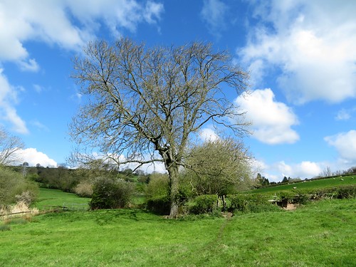
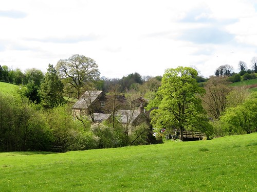
A beautiful, bitterly cold late spring morning of blue sky in the southern skirts of the Peak District. Carsington Water lay glittering in the sunshine, early joggers already limbering up by the Visitor Centre. Once we’d crossed the Wirksworth road, though, we met no-one on the field paths except sheep.
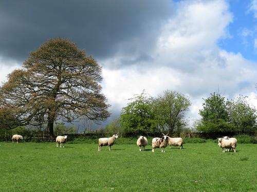
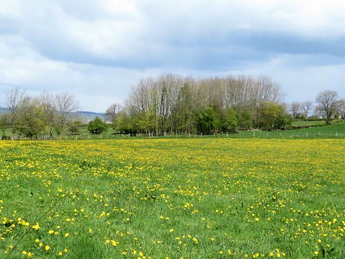
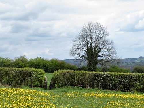
Young lambs with wriggling tails dived under their mothers’ fleeces to butt and tug at the maternal udder. Around Overtown Farm the corrugations of ancient ridge-and-furrow undulated beneath the grass, a sign that these dandelion-spattered fields have remained unploughed pasture since medieval times.
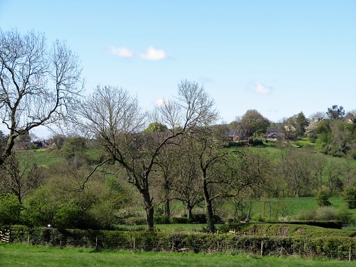
Hedge roots were lost in a blue blur of forget-me-nots, and trees still scarcely in leaf rang with spring bird calls, chiffchaffs in blurting phrases and lesser whitethroats in ecstatic scribbles of song.
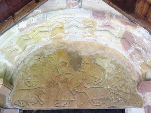
At the Church of St Bartholomew at Hognaston we came across a sign from even more distant ancestors – an 800-year-old image, carved in the tympanum over the south door, of a shepherd, crook in hand, guarding the Lamb of God from the attentions of a wolf, a wild boar and a bushy-tailed fox. Overhead an eagle, having seized its chance, is making off with a long-beaked fowl in its clutches.
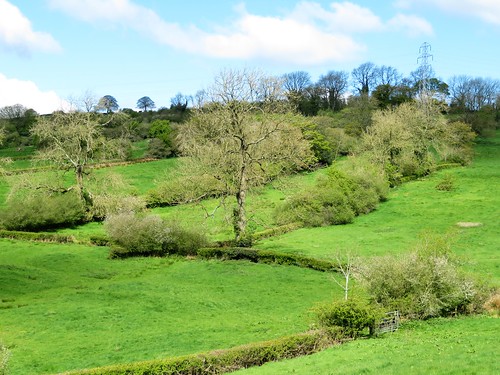
Silver-bellied clouds were beginning to sail across the blue sky as we climbed the lane to Atlow Winn. A Jacob ewe with four horns and a fleece of white and tarry brown stared flintily at the two trespassers in its pastures. Four tiny lambs squirmed out of their pen to sniff my hands, attracted by the woolly texture of my fingerless mittens.
As we climbed the steep pastures the backward view widened over the gunmetal grey sheet of Carsington Water in its cradle of hills. At the ridge of Madge Hill a superb forward prospect opened westward across a billowing green landscape to the sharply peaked cliffs of The Roaches, rising above the Staffordshire moorlands fifteen miles off.
A wintry shower rushed out of the west, blowing pellets of snow around us. Winter was not quite done with this countryside, it seemed. We headed back towards Hognaston over fields thick with dandelions, every golden head still turned towards where the sun had been pouring out its springtime warmth and light only moments before.
Start: Carsington Water Visitor Centre, near Wirksworth, Derbyshire DE6 1ST (OS ref SK 241517)
Getting there: Bus 111 (Ashbourne-Matlock). Road: signposted off B5035 (Ashbourne-Wirksworth).
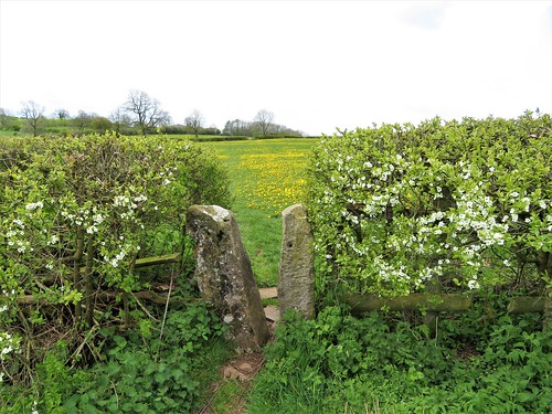
Walk (5¾ miles, easy, OS Explorers OL24, 259): Return to car park entrance; left along cycle/footpath (red trail marker, ‘Carsington Water Circular Route’). In 150m, right (fingerpost) through trees to cross B5035 (239515). Up hedge; in 80m, left through wicket gate/WG. Cross fields through successive gates (yellow arrows/YA). In 2nd field, aim for bottom left corner and squeeze stile (SS) into green lane (237512). Left; in 200m, right through 2 WGs (YA) into field. Left along hedge to SS and on to Green Cottage (WGs) and road (236507).
Ahead up road; left at Hognaston church (235506). In 100m, right at bus shelter through drive gate of Old Hall (footpath post). Follow right-hand wall, through 2 WGs (YA). In field beyond house, follow middle of 3 paths, half left down to WG/SS in bottom left corner (234502). At 2nd WG/SS, keep ahead to cross footbridge, then duckboards (SS, white arrow/WA). Keep same line through succession of SS (WAs). Approach mill buildings, bear left across stream to cross lane (232495). On along left bank to lane at Highfields Farm (232490).
Right; in 100m, right up Winn Lane (‘Unsuitable for Motors’). In 100m fork right (‘The Shaws’). In 600m through ‘Shaws’ entrance gate (224493, WA). Before house, right through gate; half left to cross stile on skyline. Right (WA), heading half left to gate into Atlow Winn farmyard (222494). Left between house and barn; through gate (YA); ahead to stile (YA); half left across field to waymark post by wall gap (221497). Cross step stile; up field edge with wall on right; in 100m, right (YA), bearing half right across ridge to step stile into lane (219498).
Right. In 400m, opposite old metal WG on left, turn right up steps (219503, YA), through trees to cross drive. Through metal WG (fingerpost); half left across field, aiming not for WG, but for metal gate to its left (222504, YA). Descend across fields for 500m to gravel track (228505). Left; in 400m, approaching Hognaston, fork right, descending to village street (234507). Right to church; retrace outward route to car park.
Lunch: Red Lion, Hognaston (01335-370396, redlionhognaston.uk)
Accommodation: Breach Farm, Carsington DE4 4DD (01629-540265, breachfarm.co.uk) – immaculate, delightful B&B
Carsington Water Visitor Centre: 01629-540696, visitcarsington.co.uk
Info: visitpeakdistrict.com; satmap.com; ramblers.org.uk