First published in: The Times Click here to view a map for this walk in a new window


Facebook Link:

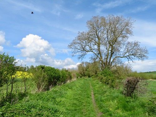
The River Avon went rushing under the mill bridge at Little Durnford, the water as grey as molten glass. We leaned on the bridge rail to admire it before setting off along a green lane that shadowed the course of the river up its shallow valley.
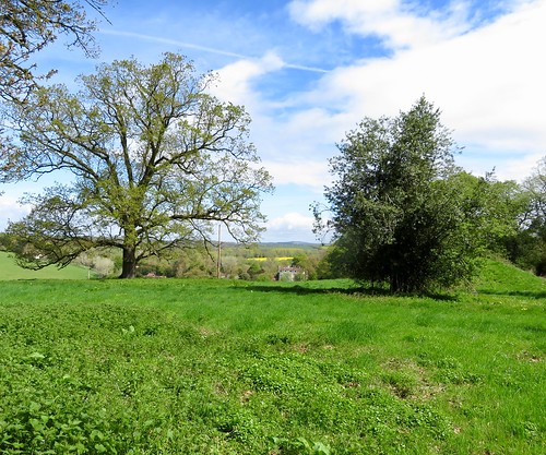
At Lake the flanks of the valley were scratched with strip lynchets and laneways, evidence of a vanished village. From the valley bottom Lake House stared out from multiple windows under five tall gables, a handsome old house in a beautiful setting sheltered among its trees.
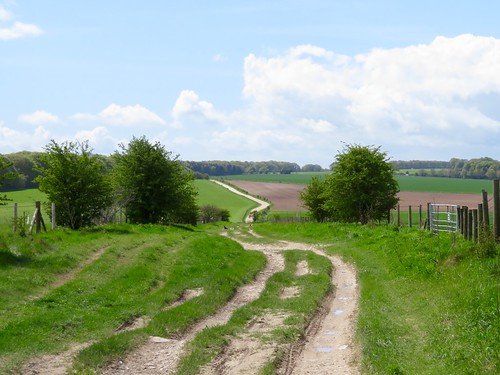
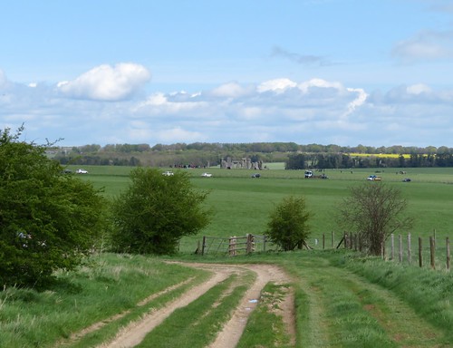
A wide green track led north up the dry chalk valley of Lake Bottom, past the paddocks at Springbottom Farm where a ginger horse rolled ecstatically on the grass. Up on the skyline a row of ancient burial mounds made a grand introduction to a memorable view – Stonehenge in all its glory, the tall grey trilithons catching and holding the eye.
A trio of hippy caravans stood parked by the greenway. We turned off before the Stones and the rushing traffic of the A303 that so disfigures the prospect, and made for the braided trackway of the Harroway, the oldest and least regarded of England’s prehistoric roads.
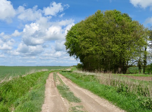
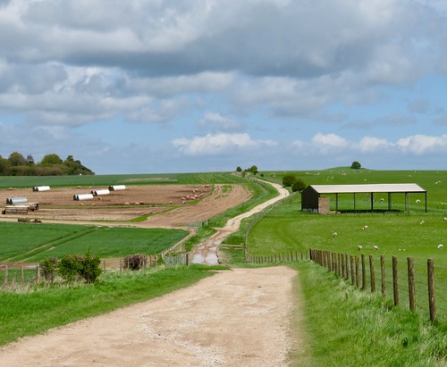
The white chalky ribbon of the Harroway winds south over Normanton Down, a remarkable ritual landscape associated with Stonehenge, whose mysteries and meanings are only now beginning to be probed with modern ground-penetrating remote sensors.
Bowl barrows, long barrows, bell barrows lie scattered across the grassland. We passed Bush Barrow, a tree still growing out of it, excavated in 1808 to unearth a skeleton six feet tall and 4,000 years old, adorned with a golden breastplate. The Harroway ran between a pair of shallow disc barrows and descended past a field of cheerfully grunting pigs rooting in an Armageddon of mud.
At Druid’s Lodge we left the ancient road and turned back over the downs towards the Avon valley. Lapwings flickered in black and white over the fields, three hares scampered and stopped, scampered and stopped, and a big bird of prey (marsh harrier? hen harrier? – we couldn’t decide) suddenly sailed across our track, flapping its great wings with enormous lazy power as it scanned the ploughlands for unwary mice.
Start: Black Horse PH, Great Durnford, Wilts SP4 6AY (OS ref SU 135380)
Getting there: Bus 201 (Amesbury-Salisbury)
Road – Great Durnford is signposted off A345 (Amesbury-Salisbury) at Stock Bottom
Walk (8 miles, easy, OS Explorer 130): From Black Horse, right along road. In 100m, opposite Field House, right on gravel track. Cross millstream; follow path for ½ mile to cross road (132386). Stile opposite (‘Normanton Down’); path down to road (129389). Left up trackway. In 1 mile, track curves left by Springbottom Farm stables (122400); in 150m keep ahead (right) at fork on grassy track. In nearly 1 mile, at NT sign, left through kissing gate (120413); in 350m, left at next kissing gate along Harroway trackway (117415) for 1¾ miles to A360 (099392). Left along verge for 250m; left (‘Upper Woodford’) on track, then road for 1¾ miles to road at Upper Woodford (124373). Left; in 60m, right (fingerpost) on stony, then grassy lane. In ¾ mile, right (133379) across millstream bridge, back to Black Horse.
Lunch: Black Horse, Great Durnford (01722-782270) – NB closed Sun eve, all Mon.
Accommodation: Rollestone Manor, Shrewton, Wilts SP3 4HF (01980-620216, rollestonemanor.com) – very comfortable B&B + dinner in historic house
Info: Salisbury TIC (01722-342860); visitwiltshire.co.uk; satmap.com; ramblers.org.uk