First published in: The Times Click here to view a map for this walk in a new window

Facebook Link:

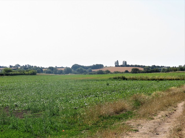
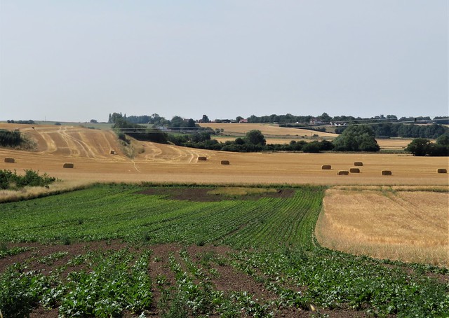
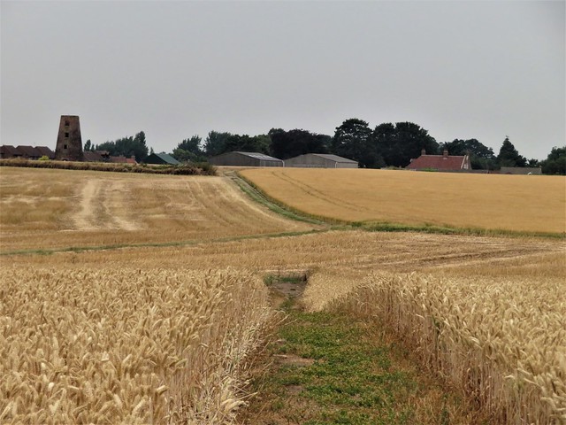
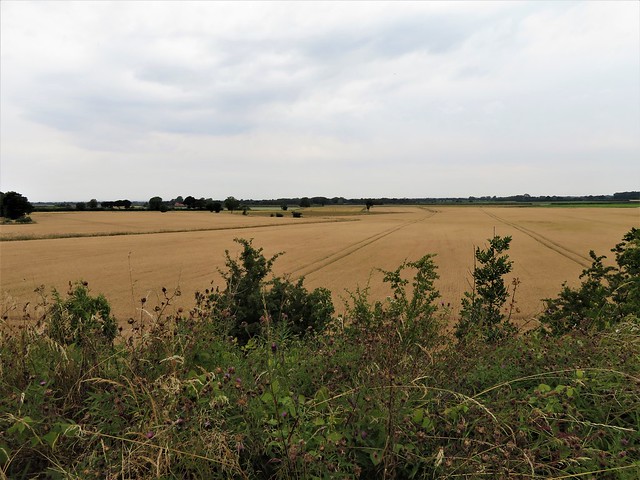
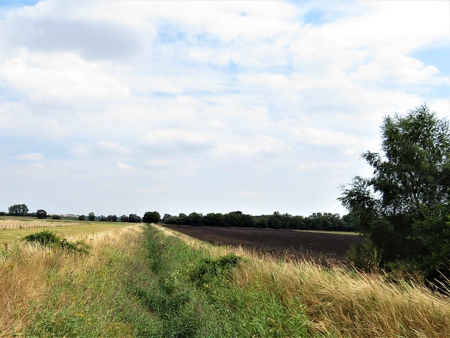
Neat, self-contained and well provided, the little country town of Epworth stands on the clay hump of the Isle of Axholme in the north-west corner of Lincolnshire. Epworth is only a hundred feet above sea level, but descending the slight slope into the flat lands west of the town feels like launching oneself from a comfortable haven into a vast gold and green sea of corn and root crops.
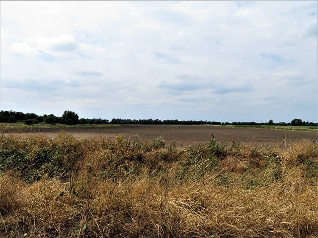
When Cornelis Vermuyden and his Flemish engineers drained the great fens and swamps around Axholme in the 1620s, the locals hated it. The ‘thick, fatt water’ of the winter floods, full of river silt, declined to a ‘thin, hungry, starveing water’, and the marshmen lost the reed cutting, wildfowling and common grazing that constituted their living. What replaced the floody fens was some of the best arable farmland in the country.
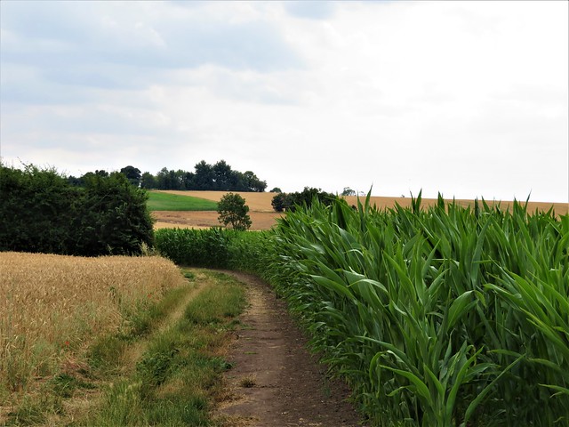
Ranks of tall hedge poplars made verticals in the horizontal landscape as we walked the boundaries of barley and beet fields. A detour round the perimeter of Epworth Turbary nature reserve gave a glimpse into the vanished landscape – bog pools, silver birch thickets, dragonflies and sedgy grazing where locals would cut peat to dry for their fires.
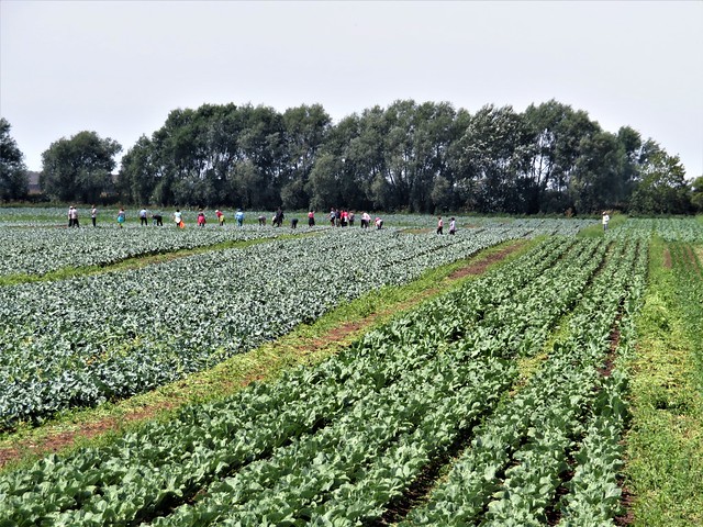
Beside a long straight drive road beyond the Turbary we saw a pile of lunch bags embellished with Polish brand names. At the far side of the field their owners bent and straightened among lines of sugar beet and lettuces, calling to each other in high voices like birds.
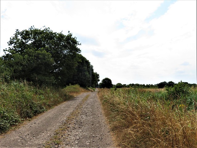
From this regulated, highly productive landscape we turned east along the green leafy paths of Haxey Turbary, another nature reserve. Beyond on a ridge stood the houses of Haxey, the setting for a January frolic called the ‘Haxey Hood’. A couple of hundred muddy persons push and shove for hours, trying to force the Hood – a stuffed leather tube – into one or other of the village pubs. This scene of cheerful mayhem has been enacted each Twelfth Night since who knows when – certainly for hundreds of years.
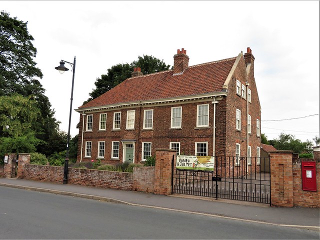
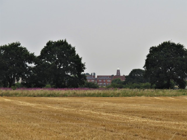
I can’t image John Wesley would have approved of the Haxey Hood with its drinking, profanities and raucous behaviour. The handsome brick-built old rectory where the founder of the Methodist movement grew up with his brother Charles stands at the southern edge of Epworth; a landmark to aim at as we crossed a golden river of corn to journey’s end on the banks of Axholme.
Start: Church Street car park, Epworth, Lincs DN9 1ER (OS ref SE 784039)
Getting there: Bus 291, 399 (Doncaster-Scunthorpe)
Road: Epworth is on A161 Gainsborough road (M180, Jct 2)
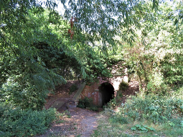
Walk (12 miles, easy, OS Explorer 280): Pass Willows Beauty Salon to cross Market Place by Red Lion Inn. Up Queen Street, then Blow Row to cross A161 (781033). Lane opposite (fingerpost/FP) past cemetery. In 500m dogleg left/right (776034) along field edges, under old railway (772034) and on. In another ¾ mile, at corner of Turbary Road, cross road to gate of Epworth Turbary Reserve (758036); walk circuit of reserve and hides, back to gate.
Right along road. In ½ mile, left (747038, FP bridleway) down drove road. In ½ mile, tarmac ends at Harvest Farm entrance on left (746029); in another ½ mile, left at split oak on left (744019, unwaymarked) along path in tunnel of trees. In 200m, past metal barrier and sun. In 700m pass another metal barrier by Lupine Woods field centre (753018) and on along dirt road.
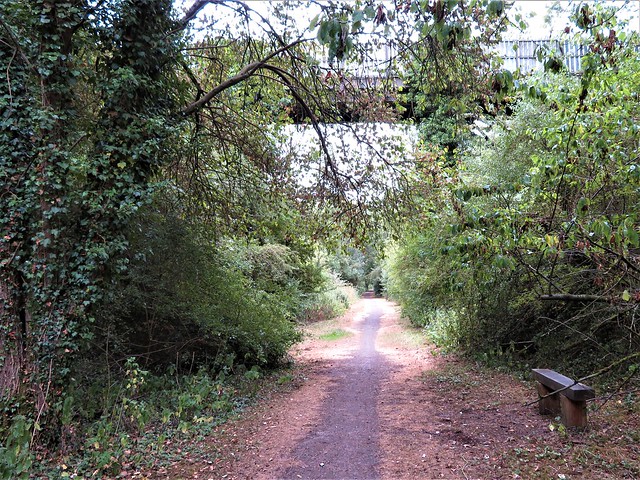
In 500m pass Fir Tree Lodge on left; in 100m, right (758014, FP, yellow arrows/YAs) along field edges past Haslams Farm (756009) to T-junction (758005). Left (FP) to cross road at Cherry Orchard Farm (766004) and on to road in Haxey (771002). Left; just before A161, left (772003) along Axholme Line local nature reserve railway path. In 1⅓ miles cross Burnham Beck with fancy guard rails; pass metal barrier, and turn right (772025) on field path. In 100m fork right, following Restricted Byway for 700m to cross A161 (780022).
Down road opposite past phone box, in 100m fork left past Walnut Farm. On along track for 700m, passing Holy Well (785021) to left bend (787021); north on field track for ¾ mile to road (786035, opposite Wesley’s Old Rectory). Left; right along Albion Hill, right at Red Lion to car park.
Refreshments: Red Lion, Epworth (01427-872208, redlionepworth.co.uk)
Accommodation: Double Tree by Hilton, Ermine St, Broughton, Lincs DN20 0AQ (01652-650770, doubletree3.hilton.com – comfortable golf hotel.
Epworth Old Rectory: 01427-872268, epwortholdrectory.org.uk