First published in: The Times Click here to view a map for this walk in a new window


Facebook Link:

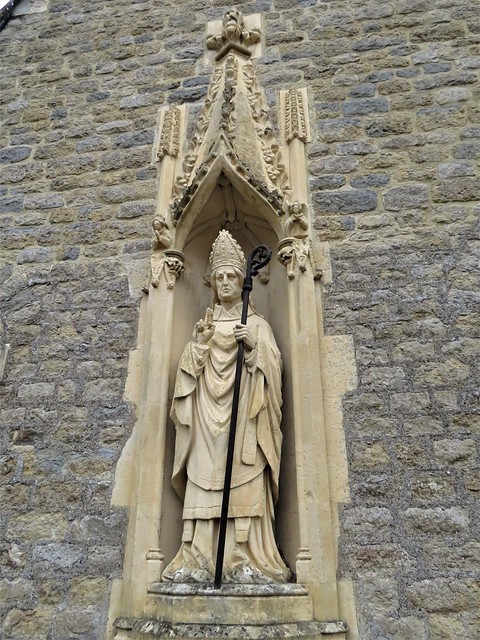
A cold Oxfordshire day under a billowing sky. St Birinus looked pinched and chilly in his niche in the chapel wall at Dorchester-on-Thames. The folds of his carved stone face seemed full of disapproval as we passed him on our way down to the river.
;)
It was Birinus, a missionary from Rome, who ducked King Cynegils of Wessex in the River Thames nearby in token of baptism in 634 AD. This act paid dividends; the newly christened king gave his baptist land on which to found a bishopric, a vast one that eventually stretched from Thames to Humber.
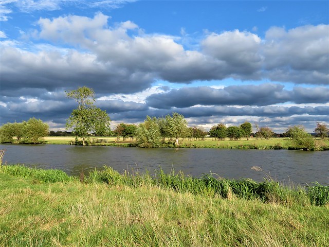
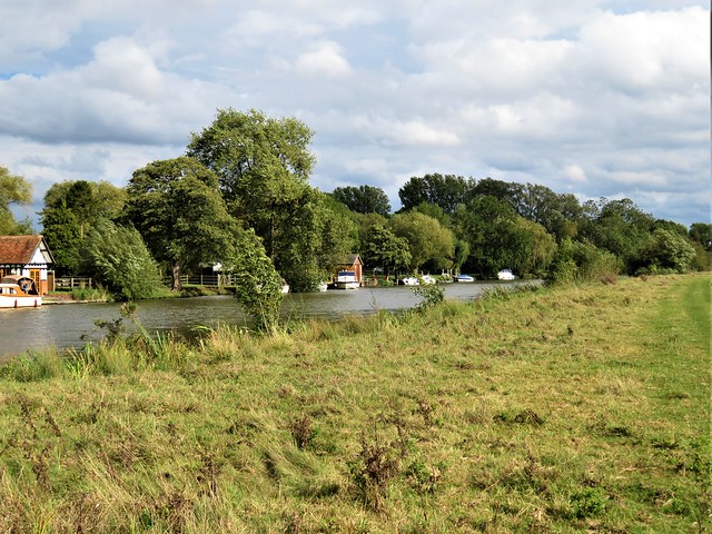
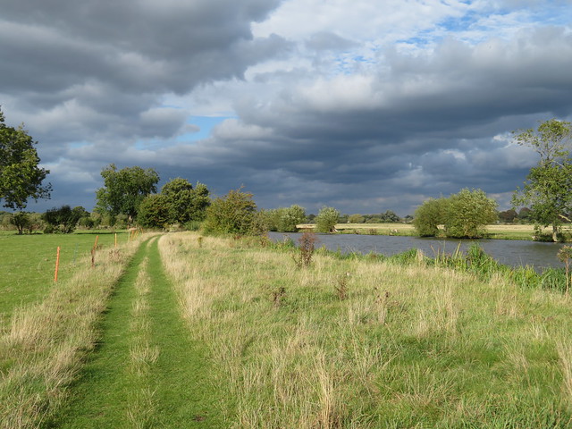
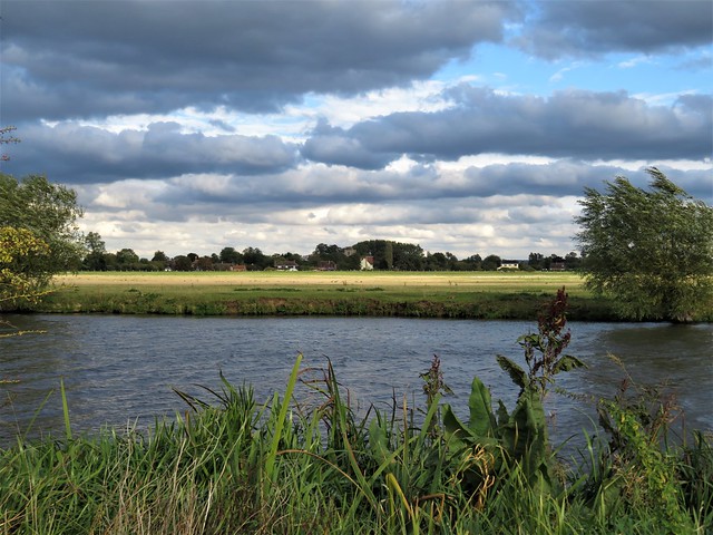
Beyond the neat houses and gardens of Dorchester we crossed the Dyke Hills, a curious Iron Age earthwork that raises a double seam across the fields. It was built to defend a settlement established by the river here long before the Romans came to Britain.
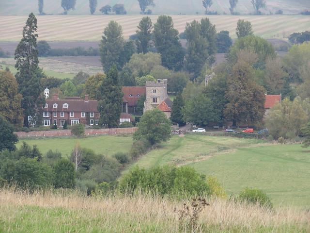
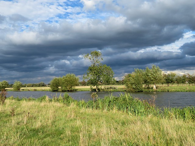
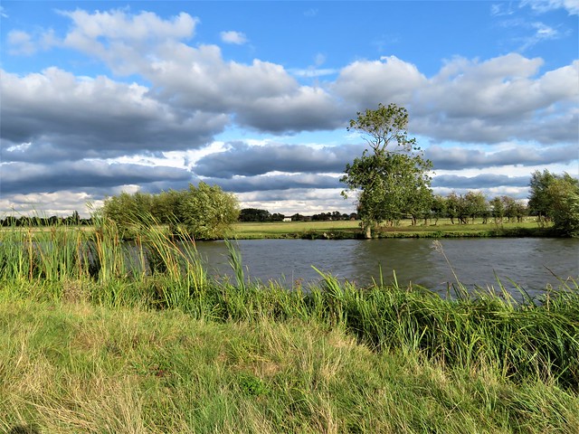
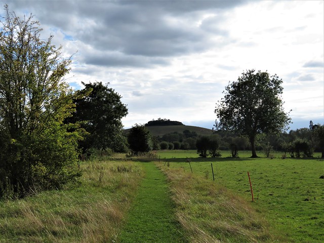
From Little Wittenham we climbed the short, steep path up the face of the Sinodun Hills, a double bulge of tree-topped chalk known locally as Wittenham Clumps. They draw the eye for many miles in the flat Thames-side country. On Round Hill a handy topograph picked out landmarks far and near, from the long ridge of the Chiltern Hills to Dorchester’s abbey church, the chimneys of Didcot power station, a glimpse of dreaming spires in far-off Oxford, and nearer at hand the tower and red brick frontage of Little Wittingham’s manor house below.
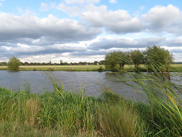
Among its many excellent ecological ventures, the locally based Earth Trust has established a wild flower sward on the Wittenham Clumps, and a network of permitted footpaths all round the area. We followed the paths across the hill fort ramparts on Castle Hill, then down towards Long Wittenham and the Thames through Earth Trust meadows and woodland.
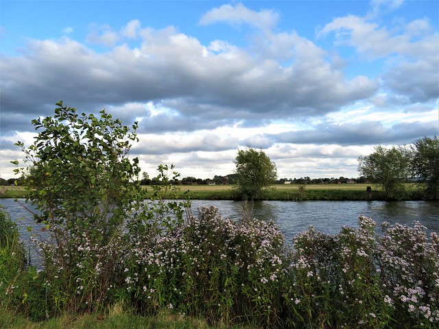
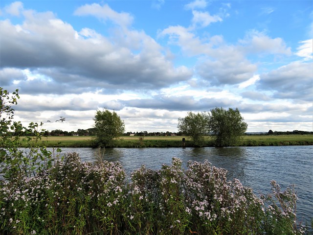
The walk wheeled slowly around the fixed hub of Wittenham Clumps, away to our right across the fields. Paul Nash painted these hills again and again between the wars, trying to catch the movement of the crowning trees in the wind, the moods and changing colours of the chalk and turf.
‘A beautiful legendary country haunted by old gods long forgotten,’ was the artist’s perception of this understated but captivating corner of the Thames, and that’s as good an encapsulation as any.
Start: Bridge End car park, Dorchester-on-Thames OX10 7JT (OS ref 579940)
Getting there: Car park is signed off Henley Road by bridge at south end of town (off A4074, Wallingford-Oxford)
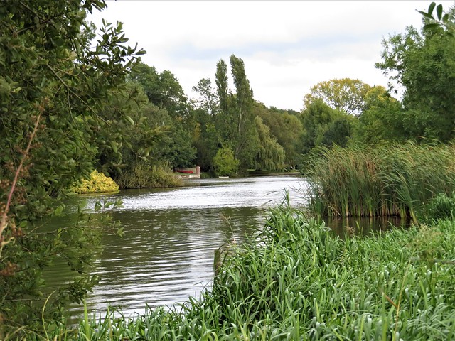
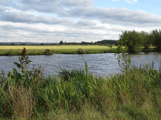
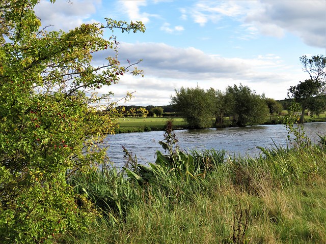
Walk (9 miles, easy, OS Explorer 170): Ahead past chapel; south down Wittenham Lane to Thames (578932). Right; in ¾ mile, left across 3 bridges (568935); opposite Little Wittenham church, left (566934, gate). Up hill path ahead to summit of Round Hill (566928). Around clump; on to summit of Castle Hill (569926). From poem stone on far side, descend grass path through ditch. In 150m, left (572926, gate) across valley. In 250m fork right (570928) through trees. In 250m at T-junction, left (570930); downhill to Little Wittenham. Left along road; in ¼ mile, right (564931, ‘Long Wittenham’). In 250m, left through gate; follow permitted path parallel to road for 1 mile to road in Long Wittenham (551940). Right by thatched house (‘No Through Road’). In ⅔ mile at Northfield Farm entrance (555949), left along green lane to Thames (553958). Right. In 2 miles, left across weir/Day’s Lock (568936). Half left on fenced path; cross Dyke Hills (572937); on to Dorchester.
Lunch/Accommodation: White Hart, High St, Dorchester OX10 7HN (01865-340074, white-hart-hotel-dorchester.co.uk)
Info: Wallingford TIC (01491-826972)
Earth Trust: earthtrust.org.uk; satmap.com; ramblers.org.uk