First published in: The Times Click here to view a map for this walk in a new window


Facebook Link:

Winster and its surrounding countryside were once a roaring, clanking, fume-laden lead mining environment, but you’d scarcely guess that nowadays. The grey-roofed hillside village lies along its jitties, a tight tangle of picturesque laneways that overlook a beautiful green valley. Only the velvety nap of the lumps and bulges on the hill slopes tells of the spoil heaps and mineshafts now sinking back into the landscape.
;)
Under a sky of unblemished blue we threaded our way down the jitties and through the village. A path paved with old stone flags hollowed by countless feet led down across wet pastures into the valley and up again to the former packhorse road of Clough Lane.
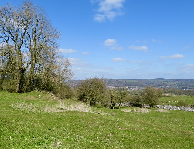
Rutted, puddled, stony and scarred, the old way led east between its flanking stone walls. As it dipped and snaked through the wooded banks of Cowley Knowl, we saw ahead through the leafless trees the houses of Matlock wedged under their hill across the valley. Beyond, the skyline was broken by a fantastic cluster of black towers and battlements – the silhouette of Riber Castle, a grand 19th-century baronial pile built by Matlock mill owner (and millionaire) John Smedley.
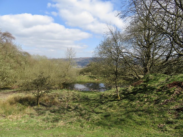
In the valley bottom we cast around among old mine heaps to find the path. It rose steeply through Cambridge Wood to reach Wensley, another former lead mining village charmingly placed for views of hill and dale.
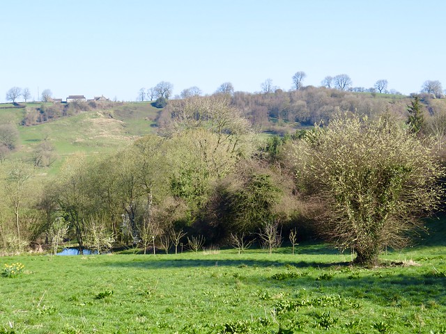
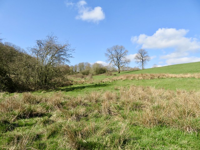
Beyond Wensley a green path followed the edge of Wensley Dale through stone walled pastures, then up a long bank peppered with old lead mine shafts, now sunk to mossy dimples in the ground.
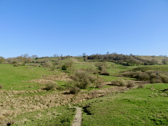
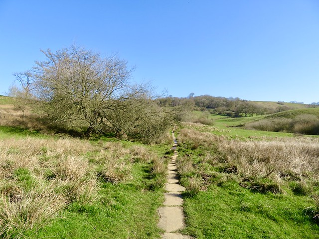
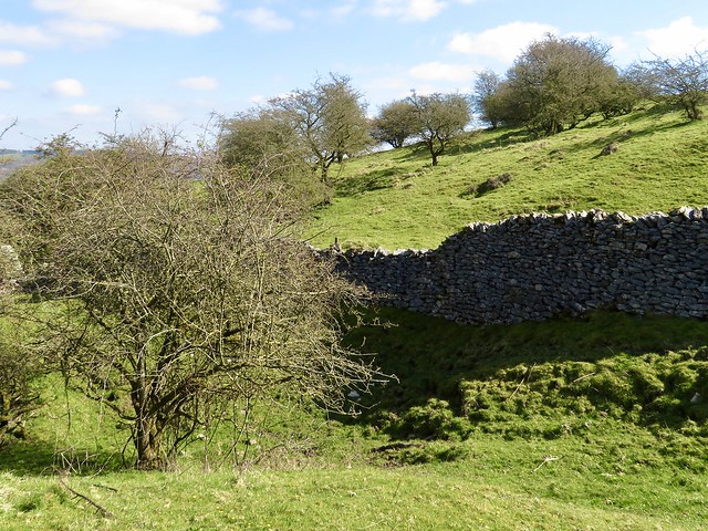
At the top we turned along the Limestone Way long-distance trail, crossing tiny walled fields by way of innumerable squeeze stiles, their ancient stone uprights supplemented by tiny wicket gates on springs that snapped shut with a bang. Persons unusually stout of leg would have quite a job to negotiate these.
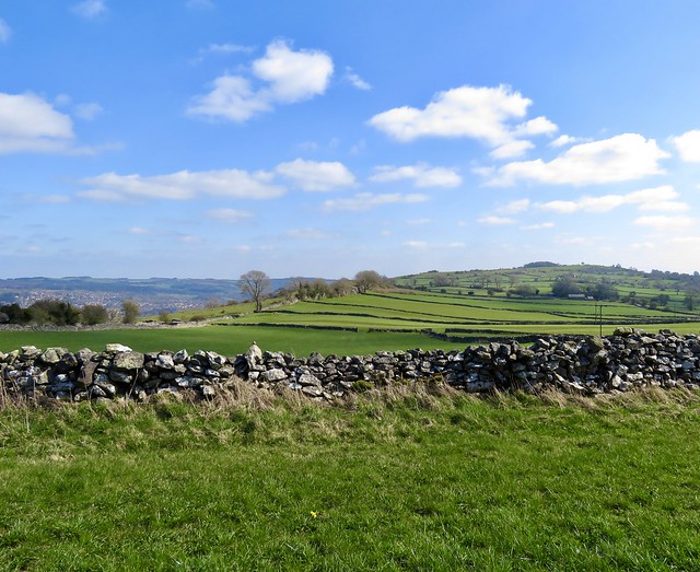
Lark song shimmered overhead. Pied wagtails hopped and bobbed as they turned over flakes of cow dung, looking for titbits. And as we came in sight of Winster’s pink-grey houses far below, the view opened northward past Darley Dale to Chatsworth House, pale and magnificent, half a dozen miles off, and the cushiony outlines of the South Yorkshire moors far in the distance against the china-blue sky.
Start: Winster South car park, Winster, Derbs DE4 2DR approx (OS ref SK 239602)
Getting there: Bus 172 (Bakewell – Matlock)
Road: Winster is on B5057, signed from A6 (Matlock – Bakewell) at Darley Dale.
Walk (7 miles, moderate, OS Explorer OL24): Right on gravel track to pass houses. Down lane by Rock View cottage; right at junction; right past Bank Cottage, down to cross B5057 at Market House. Down Woodhouse Lane; on down paved path for ¾ mile; north across valley and up to Clough Lane near Ivy House (244617). Right for 1 mile. Descend to T-junction by gateposts at Cowley Knowl (259619). Right to T-junction; right past barrier; fork left (fingerpost) downhill. At bottom, right across footbridge (258617, yellow arrow/YA); steeply up through Cambridge Wood and on to Wensley. Dogleg right/left across road (261610). Down steps; left along path (YA); in 200m fork sharp right uphill (not ‘Snitterton’). Follow path (YAs, stiles) southeast, soon steeply uphill, for 1½ miles. Just before road (271592), right on walled path; cross road and on along Moorlands Lane. In 400m right (266590), following waymarked Limestone Way for 2 miles to Winster.
Lunch/Accommodation: Miners Standard PH, Bank Top, Winster (01629-650279, theminersstandard.co.uk)
Info: winster.org; satmap.com; ramblers.org.uk
I’m very sorry to say that Christine Ratcliff reports this walk in a bad state, viz:
> It certainly wasnt moderate!Nearly all of the signposts were destroyed or hidden – some hacked off the post – some posts pulled out ground. we never ever found
> a footbridge you mention … we went wrong there trying to find it lost an hour here!
> impossible to find route up to cambridge wood we hacked through
> undergrowth! but the worst bit was at the mine shaft field – your
> instructions are so vague please update here with everywhere telling
> you private keep out and all sign posts gone it was very difficult to
> navigate compass stuff! It was clear hikers are not welcome quite scary.
> I dont think anyone has walked this for ever we saw not one
> person!Even finding the limestone way we overshot!
It’s hard to know what proportion of Christine’s difficulty was down to navigational errors, but the route was certainly in nothing like this poor condition when I did it two years less than ago, and it sounds as though it might have been made deliberately less do-able, for reasons I can only guess at. I’d be grateful for any other reports.