First published in: The Times Click here to view a map for this walk in a new window


Facebook Link:

The village of Dent is wholly charming, all cobbled streets, narrow ways, stone-built houses and cosy, welcoming pubs. Sunk in its green dale below the Cumbrian fells, it’s a natural magnet for walkers on the long-distance Dales Way and the field paths and walled lanes that swoop up and down the hillsides.
;)
A road past whitewashed cottages led us to the village green and the foot of Flinter Gill. A stony lane rose steeply under trees, its stream bouncing down to sluice across the Dancing Flags. This pavement of square flagstones was set in the streambed by the village weavers of times past; they would lay out their cloth here and stamp it to thicken the fabric.
Just above stood the twisted hollow trunk of a wishing tree – three times ‘deiseal’ or clockwise through the hole and you would gain your heart’s desire, but woe betide anyone foolish enough to pass through ‘widdershins’, the other way about.
Higher up, the lane passed High Ground Barn. Here in the cool and quiet of the old barn we found a collection of venerable farm and household implements – chaff cutter, horse rake, tilt cart, mangold slicer. Alongside hung black and white photos of the backbreaking work of the old-time farms – forking hay, washing and shearing sheep, stone walling, peat cutting.
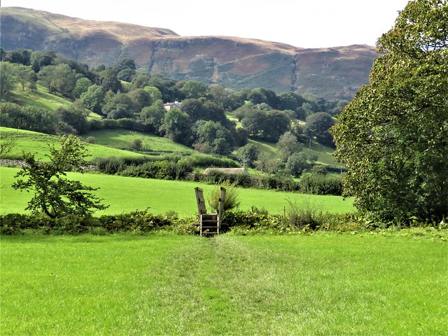
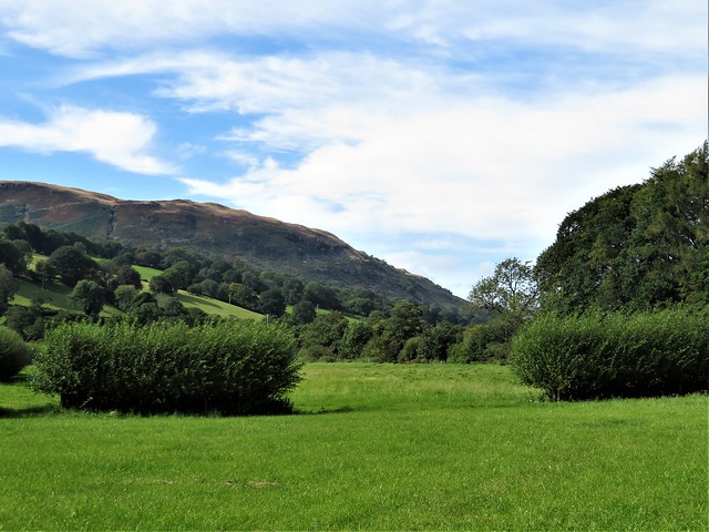
Up at the crest of the fell we joined Occupation Lane, a perfect example of a Pennine walled lane, its rutted course ribboning up and down across the fellsides. From here we had a majestic view – across Dentdale to the great dun-coloured whaleback of Aye Gill Pike, the valley rising gently in beautiful lowland green pasture to the flattened pyramid of Great Knoutberry closing the eastern sky line.
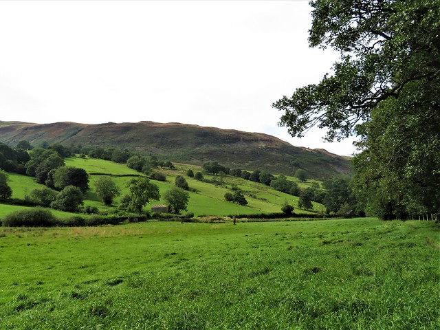
Ahead rose the long back of Middleton Fell. A thousand feet higher than us, a shepherd on a quad bike steered for the ridge. As we neared the Barbondale road we could hear him yelping commands to his dog, high and clear on the windy air.
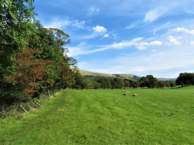
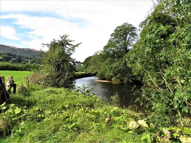
We descended a field track past Combe House with its carefully tended garden, then on down to the Dales Way in the dale bottom. Following it back to Dent, we saw a kingfisher streak along the water, a momentary scintillation of blue and orange above the peat-brown river.
Start: St Andrew’s Church, Dent LA10 5QL (OS ref SD 705870)
Getting there: Bus S1, S3, S4, S5 (Dent-Sedburgh); westerndalesbus.co.uk
Road: Dent is signed from Sedbergh, on A684 (M6, Jct 37)
Walk (7 miles, field paths and hill tracks, OS Explorer OL2): From south door of church, ahead down alley. Pass George & Dragon on your left; opposite Mill Cottage, right to village green. Left (704869, ‘Flinter Gill’) up lane. In ¾ mile pass bench; right (698859, ‘Keldishaw’) along Occupation Lane walled lane. In 1½ miles, right along road (680862); in ¼ mile, left (683864, ‘Underwood’) on green track across fields (occasional yellow arrows/YA). In 2nd field, path swings left to run below trees. On past Combe House (681875); follow YAs across beck to Tofts farm (682879). Down drive. In 200m, where concrete gives way to stone, sharp left (685879, YA below). Diagonally down field past ruin; down track to field bottom and road at Raw Bank (684883). Left; in ¼ mile, right (681885, ‘Dales Way’); right along river on Dales Way for 2¼ miles to Church Bridge (707872); right into Dent.
Conditions: Dales Way slippery and stumbly with tree roots in places.
Lunch/Accommodation: George & Dragon, Dent LA10 5QL (01539-625256, georgeanddragondent.co.uk) – cosy, friendly village inn.
Info: Kendal TIC (01539-735891); visitcumbria.com
satmap.com; ramblers.org.uk