First published in: The Times Click here to view a map for this walk in a new window


Facebook Link:

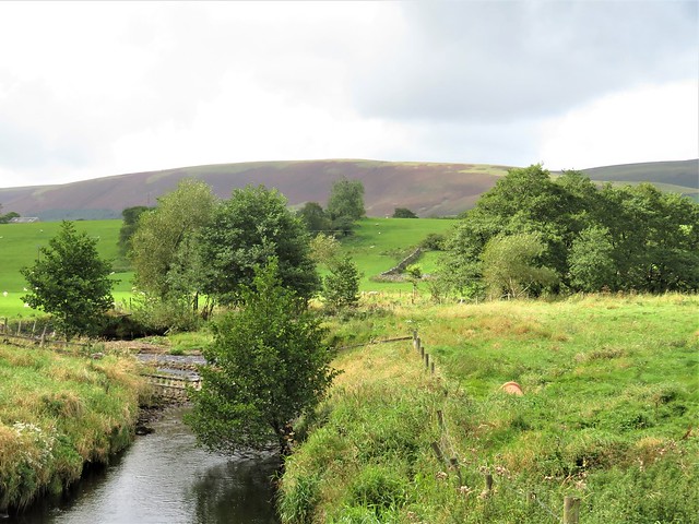
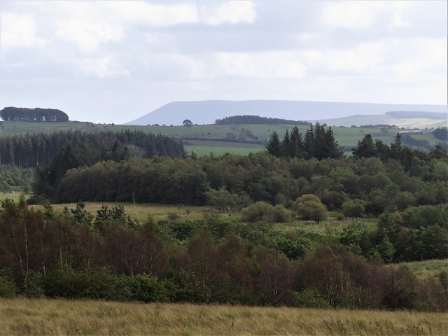
A day of big weather over the Forest of Bowland – big clouds sailing in patches of blue sky, a big boisterous wind across the high empty moors of this most treeless of ‘forests’. Bowland is a huge area of wild hilly country in the north west of Lancashire, Slaidburn a rare centre of civilisation at its heart.
;)
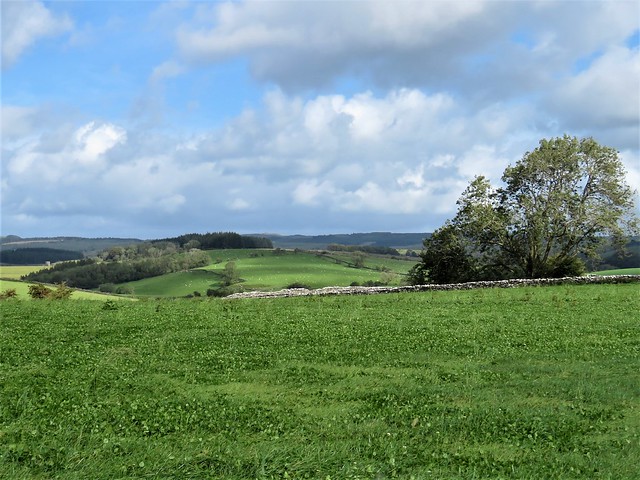
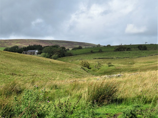
We passed the First World War memorial in the village – 27 local men killed in that great slaughter – and crossed the arched bridge over Croasdale Brook. From the road a field path led north by way of stepped wall stiles and clover leys, the big bosomy fells of Bowland rising in the west, their flanks dull red with bracken, the long back of Pendle Hill ten miles off in the southeast like an upturned ship’s hull.
Twenty years ago the Forest of Bowland was notorious for possessing only one public footpath within its hundreds of square miles of moorland. Nowadays, thanks to the Countryside & Rights of Way Act of 2000 and a more enlightened attitude among landowners, plenty of hill paths are open to all, and the lower pasture lands are crisscrossed with rights of way.
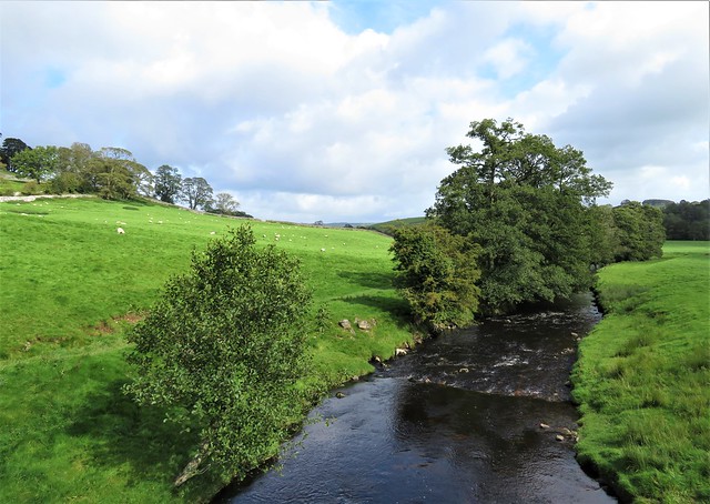
We followed a path across grass fields gleaming in the sun, down to Shay House and a moorland road north. Soon we branched off along tracks and paths through coarse grass, rush clumps and boggy dells where cattle stared and went trotting off with panicky little steps.
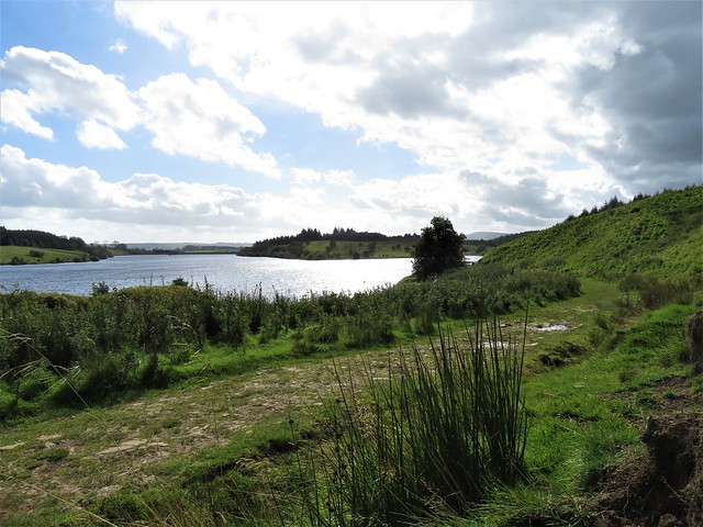
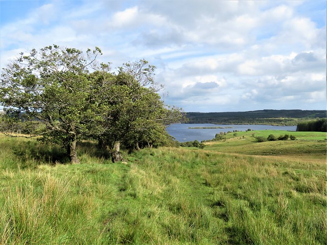
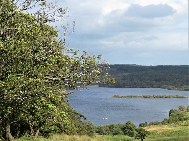
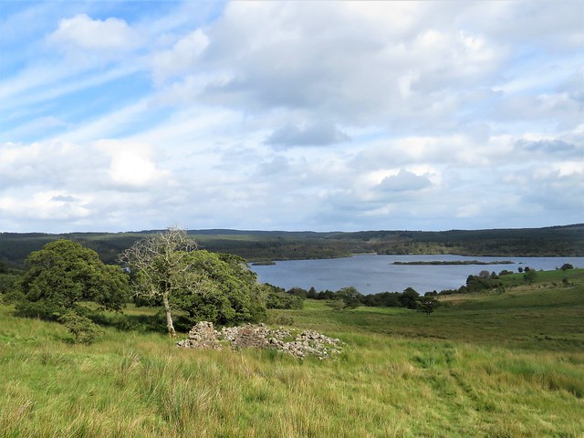
Below lay Stocks Reservoir, looking for all the world like a natural lake with its islets, encircling trees and angling boats. The navvies who lived up here in the late 1920s, constructing the reservoir dam, had a canteen with its own branch railway line bringing barrels of Dutton’s Blackburn ale direct to the cellar, whence it was sold to the men at 4d a pint.
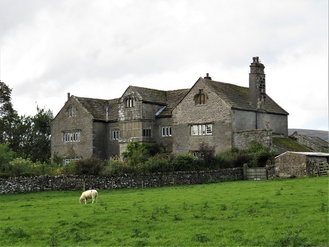
Round the reservoir we went, crossing the grassy rampart of the dam wall, then descending a long track through sheep pastures. We passed the Tudor country house of Hammerton Hall, the dozens of blank windows in its three gabled bays lending it a secret and inward looking air, and came down to Slaidburn just as the rain began to freckle in over the hills.
How hard is it? 6½ miles; moderate; field and moorland paths
Please only walk within your Tier area, or enjoy this as an armchair walk till restrictions lift. And please consider others when you park.
Start: Slaidburn car park, BB7 3ES (OS ref SD 714524)
Getting there:
Slaidburn is signed from A65 (Skipton-Settle) at Long Preston.
Walk (OS Explorer OL41): Right along road; right by war memorial; in 200m, left (712526, wall stile, fingerpost) up fields. Beyond beech plantation, half left (712529); path over 6 fields to Shay House drive, left of barn (707544). Right to road (710546); left. In ½ mile, right (710553, fingerpost) on moorland track. At corner of plantation fork half left (714556, yellow arrow/YA) to far left corner of plantation ahead (717559, stile, YA). On across stream and past ruined house for 700m to reservoir track (723559). Right. In 1 mile, cross track near Board House (717547); cross dam wall. Near far end, right down steps; left; at end, left (720544, gate). Immediately right up bank, across successive stiles and fields. Right along grassy track (721543) with wall on left, down to Hammerton Hall. Through gate (720539); right; bend left through gate (YA); follow stony drive. 100m after crossing Holmehead Bridge, left (713530) with wall on right. At ford (714525), right along river to road (712525); left into Slaidburn.
Info: forestofbowland.com; satmap.com; ramblers.org.uk
More walks info: @somerville_c