First published in: The Times Click here to view a map for this walk in a new window


It didn’t take long to shake the dust of post-industrial Long Eaton from our shoes. As soon as we had turned off the main road and were down on the towpath of the Erewash Canal, it was all cosy red brick architecture, drooping willows and slowly chugging narrowboats with flowerbox roofs.
;)
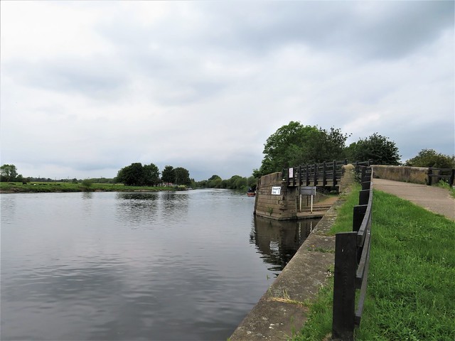
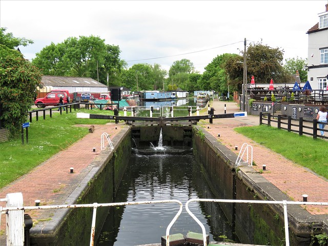
In the half century between its completion in the 1780s and the coming of the railways, the Erewash Canal had an absolute field day transporting everything from millstones and deal planks to cheese, lead and pottery. In 1808 alone it carried more than a quarter of a million tons of coal. The focus of all this activity was down at the southern end, where at Trent Lock it joined a mighty confluence of waterways.
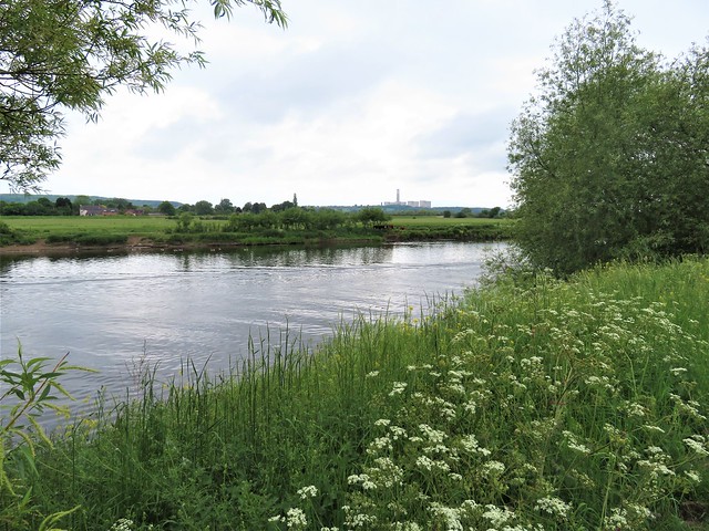
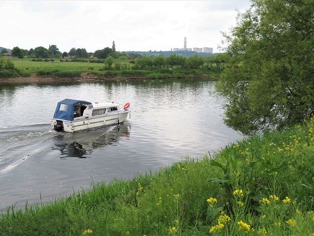
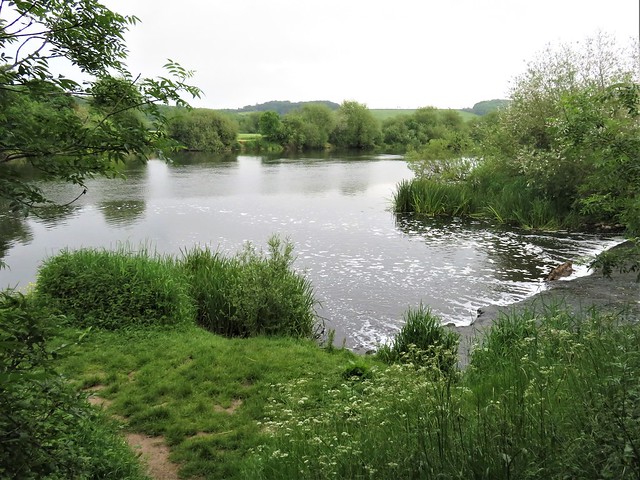
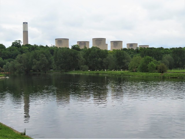
Trent Lock still buzzes and bustles, but these days with fishermen, boaters, duck feeders and drinkers at a brace of jolly pubs. Here the River Soar, the Erewash and a couple of cut-through canals join the River Trent, a wide and powerful water highway that bends and snakes along its valley. Over the trees beyond the river loomed the eight massive cooling towers and giant chimney of Ratcliffe-on-Soar power station, an apparition more like an artistic installation than a coal-guzzling, CO2-belching monster of obsolescence.
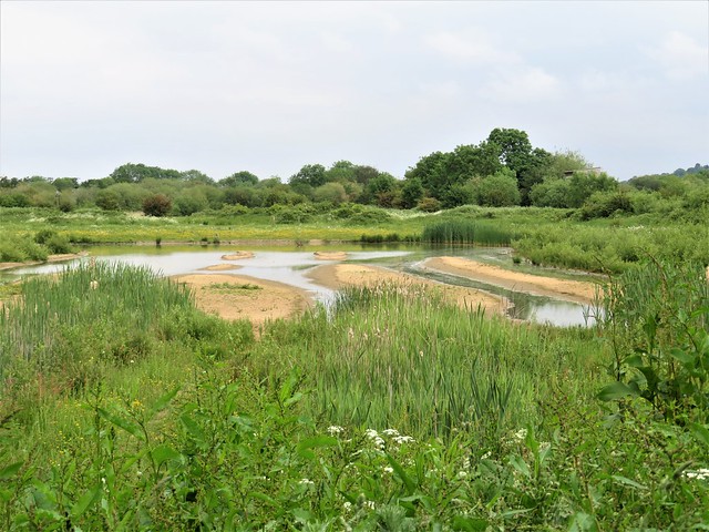
Walking the western bank of the Trent past swimming lakes and broad meadows, we watched sand martins flitting round their nesting holes in the orange-red flanks of the river. Sand and gravel lie in thick beds along the Trent Valley, dug out over the years to form great hollows now flooded into a new purpose as wildlife lakes.
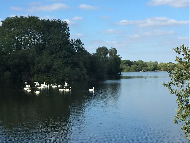
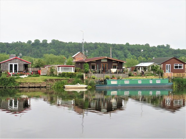
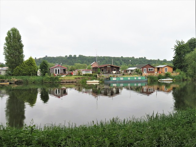
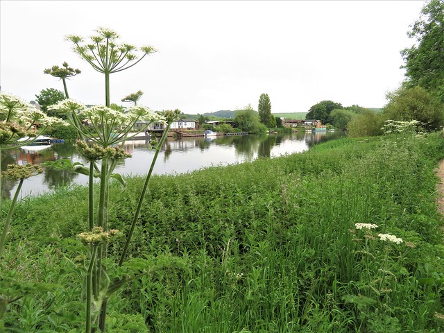
Flocks of Canada geese, great crested grebes and tufted duck with their slick black ponytails sailed the calm waters of Attenborough Nature Reserve’s string of manmade lagoons. Nottinghamshire Wildlife Trust has run the reserve since the 1960s, a remarkable achievement in enabling free public access alongside the welfare of wildlife here.
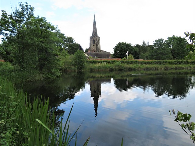
A whitethroat let out a burst of burbling song from a goat willow as we headed away from the gravel pits past Attenborough’s Church of St Mary with its dark stone needle of a spire. From a perch in a half-downed alder a blackcap projected a counterblast of brilliant notes, the sound fading behind us as we turned up the village street towards the station.
How hard is it? 5 miles (7½ with Kingfisher Trail, 6¼ with Tufted Duck Trail); easy; riverside paths.
Start: Long Eaton station, NG10 2DF (OS ref SK 481322)
Finish: Attenborough station, NG9 6AL (OS ref 518346)
Getting there: Rail to Long Eaton.
Road: Long Eaton railway station is on Wilsthorpe Road, signed off A6005 Beeston-Derby (M1 Jct 25)
Walk (OS Explorer 260; downloadable Attenborough Nature Reserve trail map at broxtowe.gov.uk): From Long Eaton station, cross roundabout; follow Fields Farm Road across canal; right (486322) onto canal towpath. South to Trent Lock (491311). Left along Trent Valley Way. In 3 miles, at grass triangle, left (520335, ‘Attenborough Nature Centre’). At roundabout (516339) left to Nature Centre. To continue walk, from roundabout/car park follow ‘Bridleway to Attenborough Village’. In 300m, you reach a fork (518342). If following Tufted Duck or Kingfisher Nature Trails, bear right for circuit, returning to roundabout/car park, and to fork. To finish this walk, left from fork (‘Attenborough Village & Church’) on bridleway past St Mary’s Church (519343). Left up Attenborough Lane (‘Erewash Valley Trail’) to Attenborough station.
Return to Long Eaton station.
Lunch: Attenborough Nature Centre, Barton Lane, Chilwell, Notts NG9 6DY (0115-972-1777)
Accommodation: De Vere Orchard Hotel, Beeston Lane, Nottingham, NG7 2RJ (0115-697-8175, devere.co.uk)