First published in: The Times Click here to view a map for this walk in a new window

A pigeon was performing its soft and melancholy dirge as we left Upper Wield on a quiet morning. Thatched roofs peeped over immaculately kept hedges around the village green. Everything was neat and orderly – even the fingerpost pointing the way was handsomely carved in wood.
;)
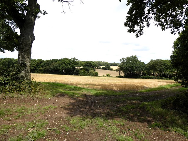
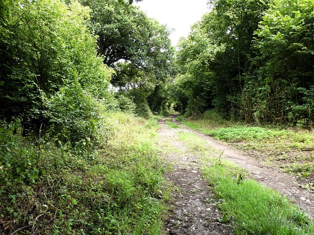
Out in the fields the Three Castles Path, dinted with horseshoe prints in the sticky mud, made west in the skirts of Barton Copse and Wield Wood. The still sky overhead was packed with heavy-bellied clouds, and soon a mizzly drizzle came our way – not honest rain, but a wetting miasma that blurred all views.
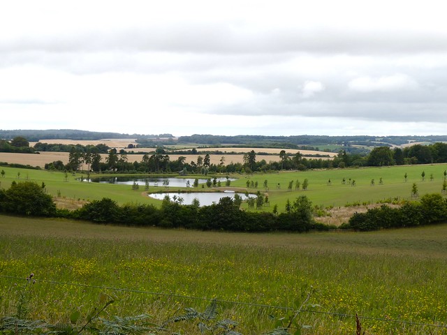
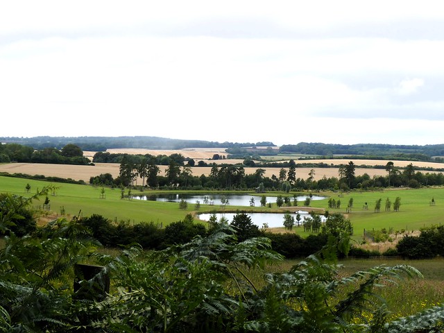
In the shallow valley to the south below Armsworth House a couple of recently created lakes winked like steely eyes in a wide sweep of shaven grass. Beside the path lay carefully seeded meadows and a plantation of young oak, cherry and field maple, each sapling in its swaddling band of biodegradable tree guard. Everything in view spoke of thought and money, plenty of both, invested judiciously with the future health of the countryside in mind.
The shower passed, and blackbirds and thrushes struck up. I began to hum the ‘after-the-storm’ bit from the Pastoral Symphony. A green woodpecker shot out of Godsfield Copse like a bolt from a crossbow, cackling manically as it sped away across the maize stubbles.
The name of Godsfield holds a clue. In the 12th century the Knights Hospitallers founded a preceptory or monastery here, and around two centuries later a chapel (now in private hands) was built at Godsfield. We saw its pitched roof rising beyond a garden wall as we passed Godsfield Farm and headed south for the ancient trackway of the Ox Drove.
Cattle and sheep were driven for many centuries along this wide highway between Old Sarum and its junction with the Harroway, oldest road in Britain, at Five Lanes End near Basingstoke. Evocative names, and there is another style for the old drove road too – the Lunway, from the Scandinavian ‘lundr’ or sacred wood.
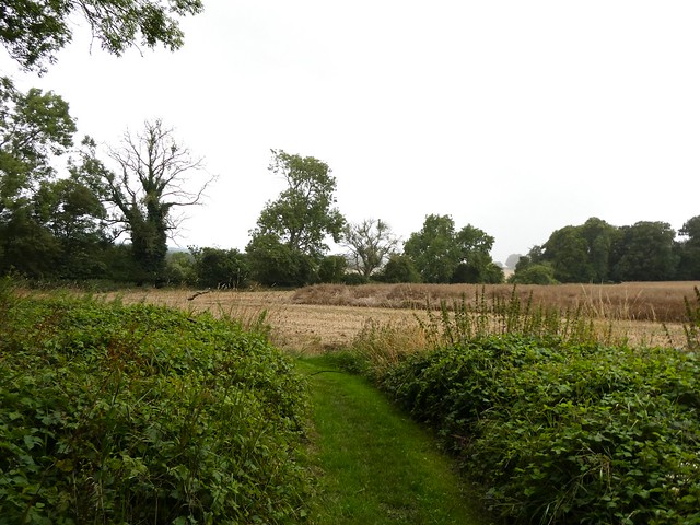
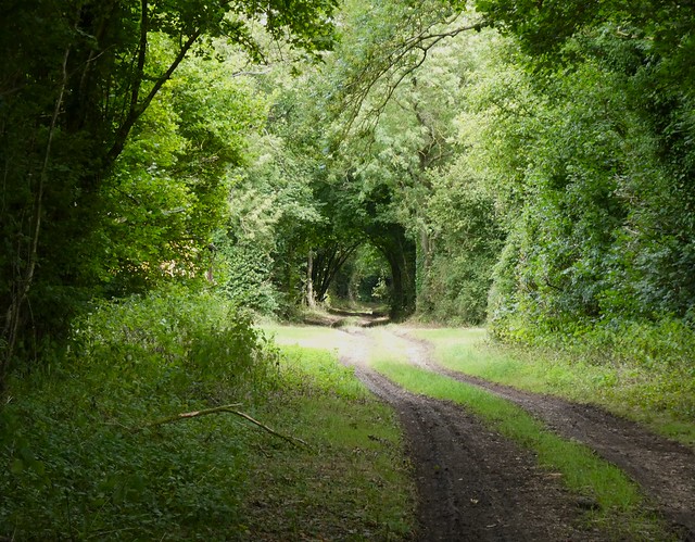
No sacred forests surround the Ox Drove today – just thick hedges enclosing the flint-floored trackway, twenty metres from edge to edge, as it carried us through the gently swelling landscape towards journey’s end.
How hard is it? 7 miles; easy; field paths and trackways.
Start: Upper Wield, near Alresford SO24 9RU approx (OS ref SU 630387)
Getting there: Bus 41 (Basingstoke-Alresford), Wed and Fri
Road – Upper Wield is signed from B3046 (Basingstoke-Alresford) at Preston Candover.
Walk (OS Explorer OL32): From phone box, follow ‘Preston Candover’. In 100m left (‘Church’); then follow bridleway fingerposts/FPs (Three Castles Path). In 2¼ miles, 250m beyond end of Godsfield Copse, left along farm drive (598374). In ⅓ mile pass Godsfield Cottage (601371); follow drive past chapel (605370) to road (606367). Right; in ⅓ mile on right bend, left (604361) up drive (‘Lower Lanham’). In 50m, right (FP) through kissing gate/KG. Up field to KG; half left across field. At far side (607356), left along field edge; in 100m, dogleg right/left to join broad Ox Drove Way track between hedges. In 1¼ miles pass Upper Lanham Farm (620368); in ½ mile fork left through gate (627373) on track bending left to road (627377). Left to junction; left (‘Armsworth’); in 300m right (624378, stile, FP). Through KG; on beside Barton Copse. In 300m, cross stile (626380), then left through hedge. Half right across 2 fields to Three Castles Path (628386); right to Upper Wield.
Lunch: Yew Tree, Lower Wield SO24 9RX (01256-389224, theyewtreelowerwield.co.uk)
Accommodation: Swan Hotel, West Street, New Alresford SO24 9AD (01962-732302, swanhotelalresford.com)
Info: visit-hampshire.co.uk