It was a fantastically blowy morning over the Northumbrian moors.
First published in: The Times Click here to view a map for this walk in a new window


Facebook Link:
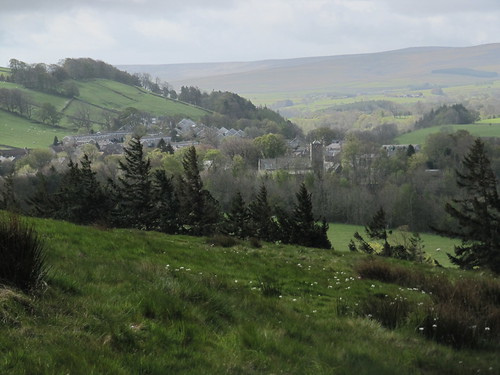
The night before, safely tucked up in a cosy bed at High Keenley Fell Farm high on its ridge, I’d heard the gale roaring like a monster in the larches and over the farm roofs. But down here in Allendale Town, sheltered in the cleft of its deep green dale, the wind was sounding more of a continuous, mighty sigh in the racing heavens over Allendale.
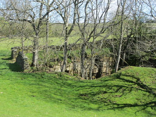
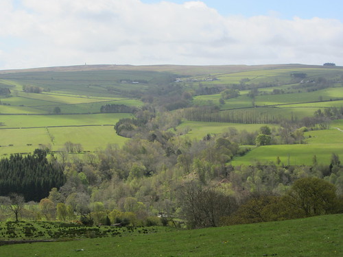
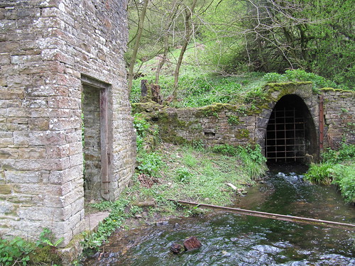
Up on the fellside to the north of the compact little town, I looked over to a great rise of stone-walled fields topped with broad dun-coloured moors and the upraised fingers of a couple of industrial chimneys. It’s all sheep and cattle around here now, but back in the day Allendale Town was a noisy, two-fisted settlement of 6,000 people, most of them employed in the lead mines up on the moors. The chimneys poured out noxious and toxic sulphur fumes, brought through nearly a mile of stone-lined flues from the dale’s big smelting mills. Allendale’s lead business all came sliding to a stop in the late 19th century, and these days you couldn’t find a quieter dale in these lovely northern hills.
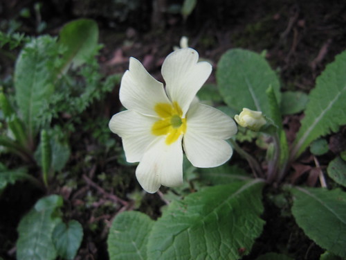
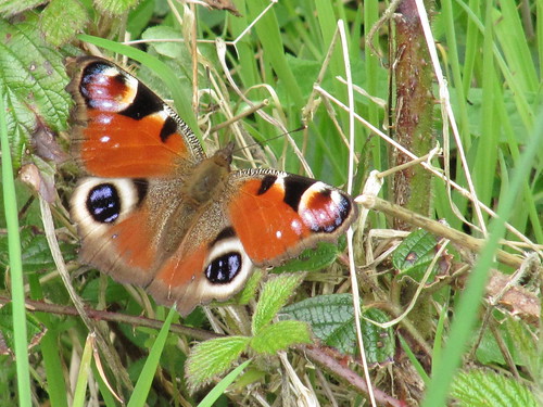
Late-flowering cowslips and milkmaids danced crazily in the wind as I followed the hillside path past Housty and Stone Stile farms towards Catton. The spine-tinglingly poignant bubble of curlew calls came from the fields, and I caught a flash of white as the stout wading birds with their long down-curved bills settled themselves among the sedges with an ecstatic shiver of sabre-shaped wings.
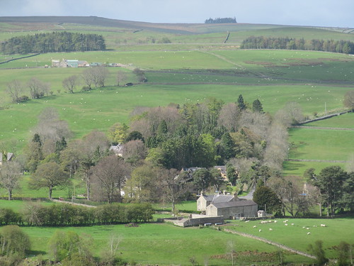
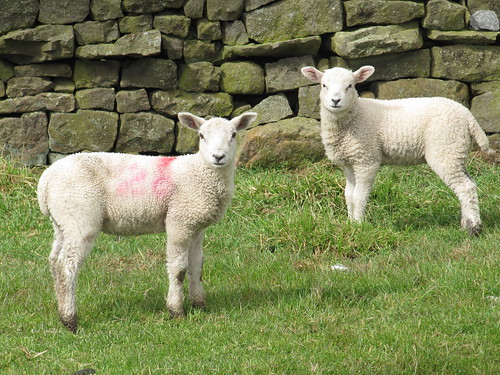
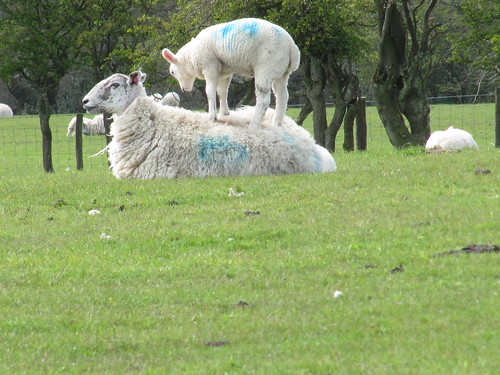
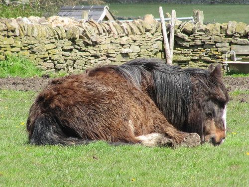
Catton lay silent around its village green. In the fields beyond, fat lambs ran riot, one actually prancing on top of its mother’s back as she lay imperturbably chewing the cud. Below Old Town a bridge crossed the shallow, peat-brown River East Allen in its sheltered little gorge. Before following the riverbank path back to Allendale, I paused, leaning on the parapet and watching two white-breasted dippers bobbing on midstream stones while a flycatcher swooped out, up, over and back to its branch above their heads with a beak full of insect fodder.
Start & finish: Allendale Town square, Northumberland NE47 9BD (OS ref NY 837558)
Getting there: Bus 688 (Hexham-Allendale)
Road: Allendale Town is on B6295 between A69 (Hexham-Haydon Bridge) and A689 (Stanhope-Alston)
WALK (7 miles, moderate, OS Explorer OL43. NB Online map, more walks: christophersomerville.co.uk): From Allendale town square turn left (Hexham direction) along main road (pavement). In ¼ mile, cross Philip Burn (841562); in 50 m, right up side road by ‘Dene Croft’. In 100 m, left up walled path, (842564; fingerpost ‘Housty’); in 100 m, left over ladder stile (fingerpost). Follow yellow arrows/YA across fields to Housty. Keep left of house and over stile (836572; YA); follow drive to road (834575). Right for 200 m; left (836576; fingerpost ‘Stone Stile, Catton’). Skirt left of barn, over stile (YAs); bear half-left down field; through gate (833577; no YA). Bear right through next gate (no YA); bear left down to cross wall by stone step stile; cross Catton Burn footbridge (832578). Bear right up wall; in 100 m, left over ladder stiles, through fields and farmyard (YAs) to road in Catton (829577).
Right; in 50 m, left by ‘Catton 2000’ stone seat, down lane. Cross footbridge (827577; YA) and follow green lane (YAs) for ½ mile, past Pasture House to cross road (818578; fingerpost). Turn right through gate (fingerpost ‘Old Town, Bishopside’; YA) across field above Struthers; then follow wall (step and ladder stiles) for ¼ mile to Old Town (814579). Through yard (YAs) and on across fields (YAs, stiles) to road (812581). Turn left downhill; descend Colliery Lane to cross River East Allen at Oakpool bridge (808577). Turn left (fingerpost ‘Allendale Town’); don’t bear right up waymarked field path, but keep ahead past front of Oakpool Farmhouse and on along track, then path, on right bank of river, over footbridges, through house garden at Bridge Eal (818573, YAs) to turn left across river on B6295 by weir (831566). Turn right along left bank (fingerpost ‘Allendale Town’), sticking close to river. In 1 mile, opposite cricket pavilion, bear left up walled lane (836560) to road; left to town square.
Refreshments: King’s Head PH, Allendale (01434-683681); Forge Studios tearooms (01434-683975; allendaleforgestudios.co.uk)
Accommodation: High Keenley Fell Farm (01434-618344; highkeenleyfarm.co.uk) – very comfortable, good food and stunning view
Information: Hexham TIC (01434-652220); visitnorthumberland.com
www.ramblers.org.uk www.satmap.com www.LogMyTrip.co.uk
Hi Christopher, we did your Allendale Town walk last week. Thought
you’d like to know there has been a landslide closing the path along
the river at Bishopfields.
Diversion notices saying find another route are posted at both Oakpool
and Allendale Bridge ends and (as we walked up to Chapel House and
along the road at access points there too.
Enjoyed the walk though, best regards John
Dear John,
Very pleased you enjoyed that lovely walk, and thanks for the heads-up on the landslide. I’ll put it on my website.
With good wishes,
Christopher