First published in: The Times Click here to view a map for this walk in a new window


Facebook Link:

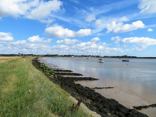
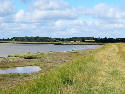
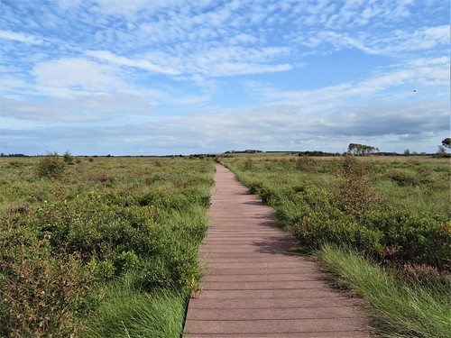
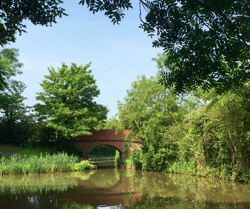
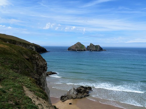
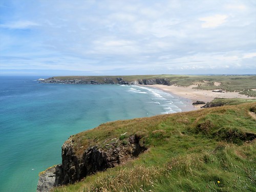
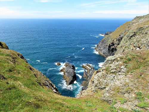
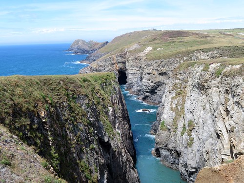
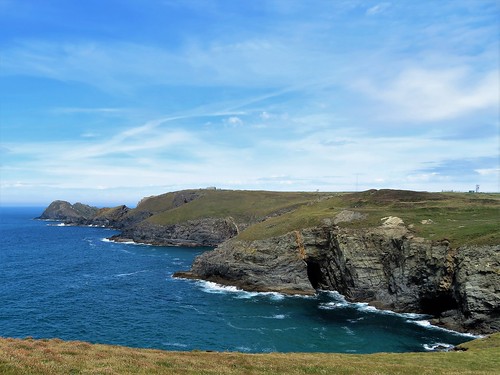
A glorious day over north Cornwall, and where better to walk than the ‘Poldark Coast’ of rocky cliffs and great smooth sands between Holywell and Perranporth? We saw no bare-chested horsemen galloping through the surf of Holywell Bay (‘Warleggan Beach’ to Poldarkians), but wet-suited surfers were riding the creamy waves. We left them to it, and turned up the coast path that hurdles the neighbouring headlands of Penhale Point and Ligger Point.
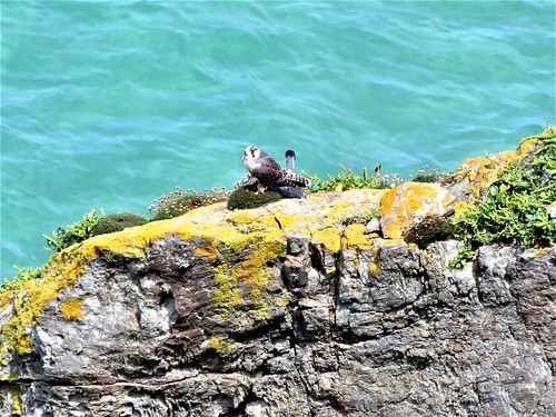
From a knife-edge promontory over the sea came a wild, chittering scream. It was a peregrine falcon, slate of back and barred of tail, mantling over her kill, a broken-necked pigeon, while fulmars streaked challengingly close overhead on stiff pointed wings.
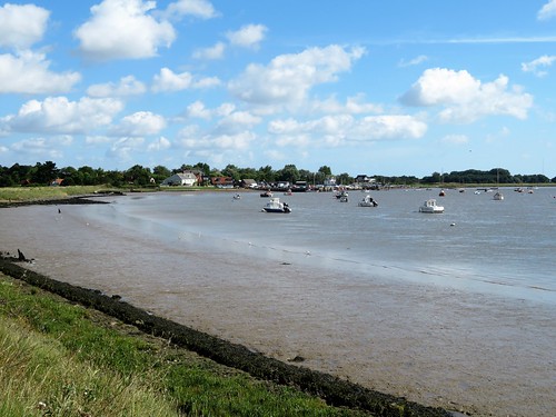
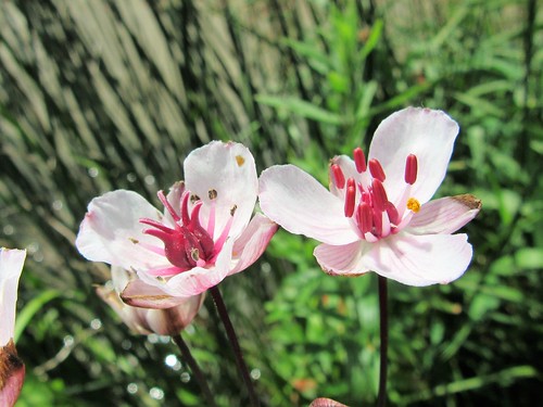
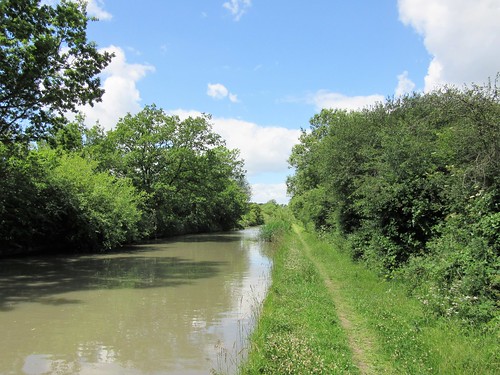
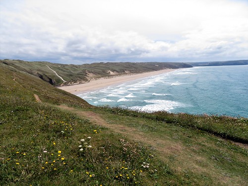
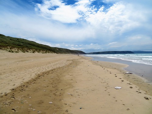
The path teetered between cliff and sea before descending to the long two miles of Perran Beach where a mass of round transparent jellyfish had stranded at the top of the tide. We walked among them, avoiding the occasional purple blob of a (mildly) poisonous moon jellyfish, before scrambling steeply up the crumbly face of Penhale Sands.
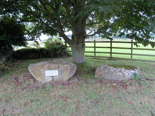
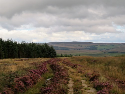
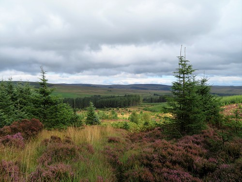
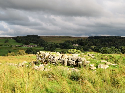
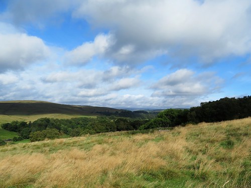
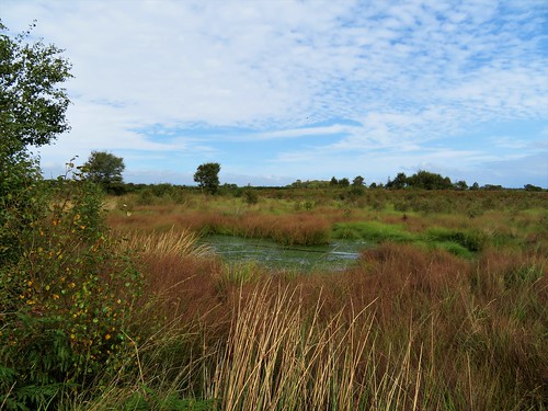
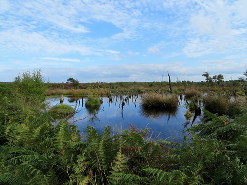
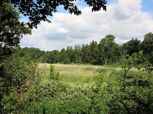
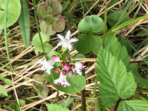
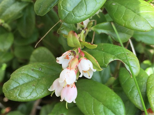
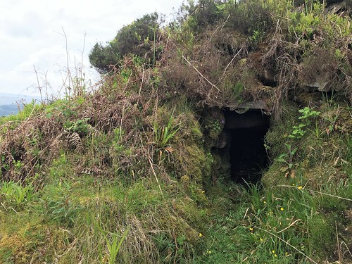
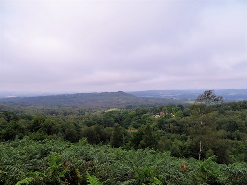
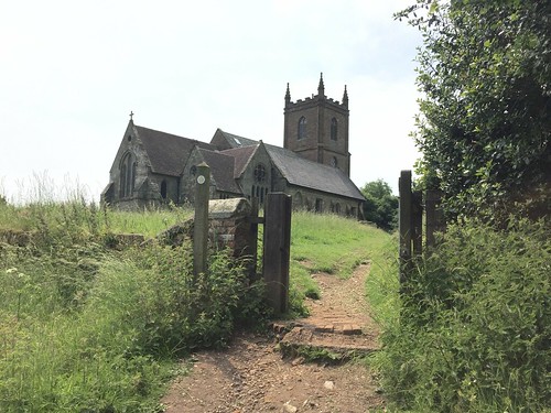
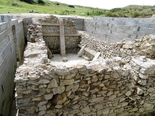
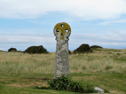
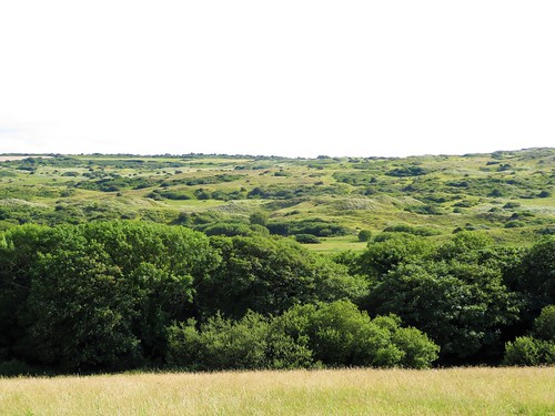
These enormous sandhills stand 300 feet tall, a billowing inland sea of green and gold dunes. Sandy paths led us inland to the humble stone oratory built some 1500 years ago by the Irish missionary Piran. He was a giant in stature, and a jolly one too, it seems, fond of a drop of the honey-based hooch called metheglin. Adrift in the dunes beyond St Piran’s cell we found an ancient three-holed granite cross and the foundations of a 12th-century church, reminders that this barren spot was once a staging post on the medieval pilgrim route to Compostela.
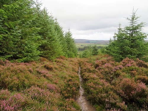
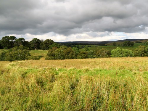
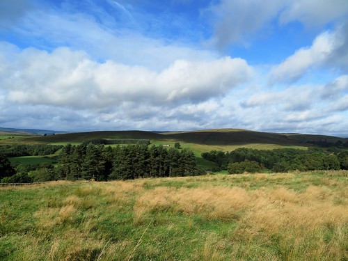
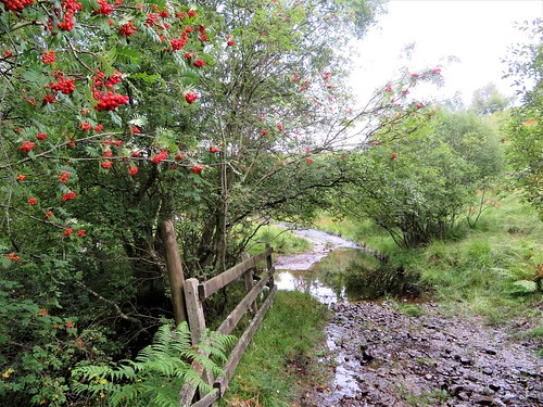
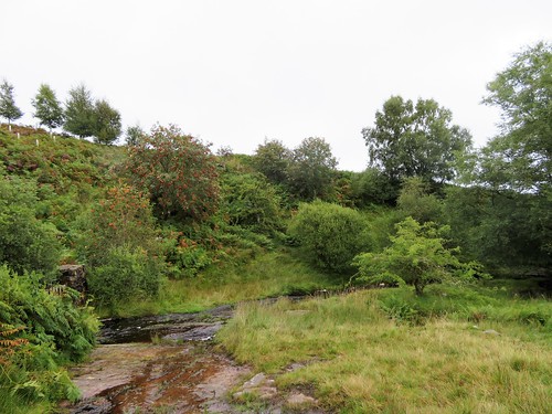
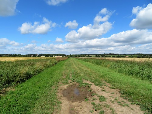
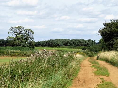
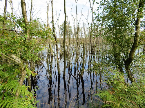
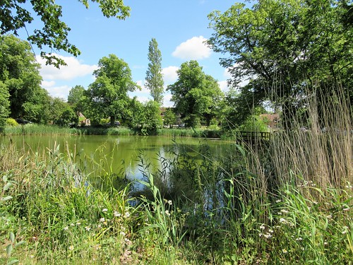
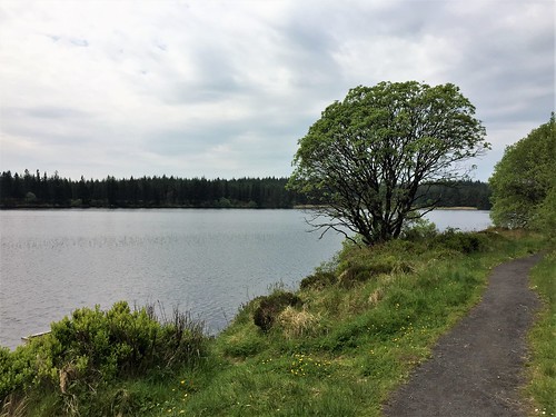
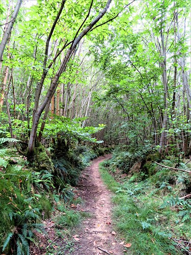
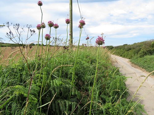
Under lark song we made our way south by tangled paths across the dunes to a country road. A bend in the lane brought us to the path back to Holywell, a green way over granite stiles. The stream that shadowed the path at the smuggling hamlet of Ellenglaze was formed from a witch’s tears, so legend says. If so, her sins must have been forgiven, for the brook runs as clean and sweet as any innocent water.
Start: NT car park, Holywell, Cornwall TR8 5DD (OS ref SW 767589)
Getting there: Holywell is signposted from A392 between Newquay and Goonhavern.
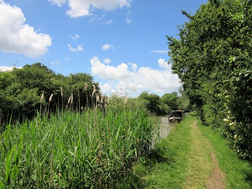
Walk (8 miles, moderate, OS Explorer 104): From car park follow SW Coast Path south via Penhale Point and Ligger Point to Perran Beach. ¾ mile along beach, pass metal beacon in dunes, then fence and white ‘danger’ notice (762565). In 150m, turn inland up dune path through obvious gap (761563). Aim for rock outcrop, then keep same line up to skyline. Pass post with white panels; ahead on path, through hollow and up left side of far slope. Through gate (766564); ahead (east) with fence close on left (ignoring tall stone cross 200m on right) for 200m to St Piran’s Oratory (769564).
Keep ahead, bearing a little to right away from fence, to bear left (east) along wide track in a hollow. Pass waymark post (771564) to reach ancient stone cross on skyline (772564) and foundations of St Piran’s Church in hollow (600m east of Oratory). From here, keep ahead (east) with fence on left. In 200m, bear right (south) with fence and follow clear grassy path. In 300m (774563) bear half right across a wide open common. In 300m join a footpath marked with white stones; bear a little left with fence on left, following waymark arrow posts. At 2nd ‘acorn’ post, fork left (posts, white stones) to road at junction (775553).
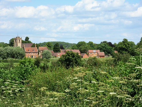
Left along road for 1 mile. Descend to right bend (783566) where 2 adjacent lanes fork left. Take right-hand lane of these two; in 15m, fork right to go through gate (yellow arrow/YA). Path runs north-west along right edge of wide common with trees on right. In 600m, at far right corner of common (781572), path keeps ahead through undergrowth into hedge to pass black arrow on post. Right through kissing gate; boardwalk path through wetland patch, then across footbridge (782573). Uphill to go through gate at hamlet (782574). Left (‘Holywell’, YA); follow YAs across fields for ⅓ mile to Ellenglaze. Ahead along road (776577, YA), round left bend. In 200m, right (YA) on well marked green lane path, then holiday village road, for 1 mile to Holywell.
Conditions: Vertiginous path on Ligger Point; steep climb on loose sand from Perran Beach. Compass/GPS useful among dunes of Penhale Sands.
Lunch: Picnic
Accommodation: Holywell Bay B&B, Inshallah, Rhubarb Hill, Holywell TR8 5PT (01637-830938, holywellbaybandb.co.uk) – immaculate B&B.