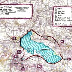
First published in: The Times Click here to view a map for this walk in a new window


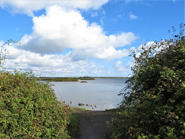

A sunny, breezy morning on the Kentish shore of the Thames Estuary, with big ships seen far off like ghost vessels gliding across the grazing marshes. The wind from the river whispered in the reeds, and a constant chatter of ducks from the fleets of water in the RSPB’s Cliffe Pools reserve spoke of the autumn gathering of wildfowl in enormous numbers.
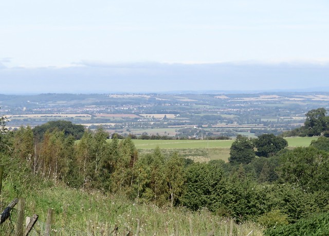
Cliffe sits way out on a blunt estuarine peninsula. Here were the bleak marshes where Charles Dickens set the opening scenes of Great Expectations, and some of the old atmosphere still clings, the feeling of remote country, although central London lies only twenty miles upriver.
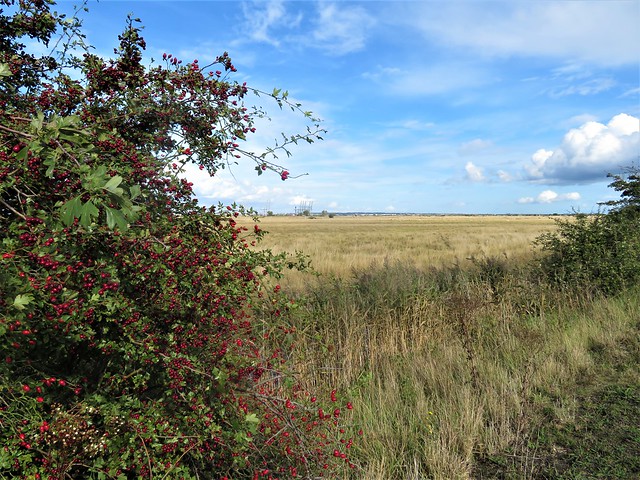
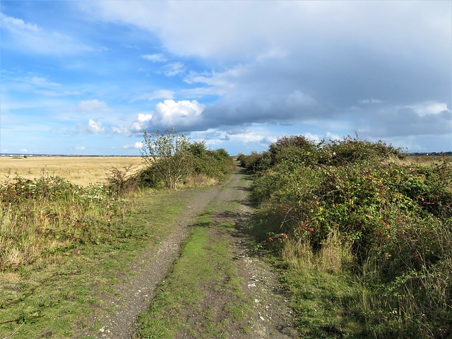
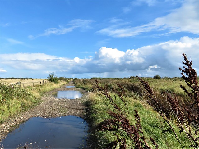
We set out along a causeway between the pools. Elder leaves were turning a dusky pink. A flock of goldfinches twittered in excitement as they darted between the seed feast of feathery ragwort heads and the shelter of hawthorn bushes.
Side paths through the scrub led to viewing stances on Flamingo Pool. No flamingos in sight; instead, a raft of coot bobbing on the wind-ruffled waves, a dozen lapwings on a muddle islet, and a flash of silver as a great crested grebe flicked a fish out of the water, tossed it up, caught it again and swallowed it with a shake of the head.
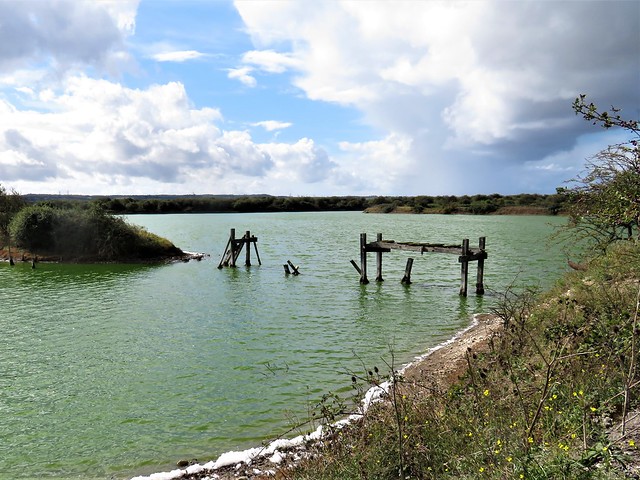
Out by the river we crossed the sea wall and followed a slippery clay path to where a miniature range of gravel alps rose beside a jetty. Diggers and conveyors clattered, and the air thrummed with the beat of marine engines as a rusty old Port of London dredger went steadily seaward down the Thames.
Beyond the workings crouched Cliffe Fort, grey and grim, built in the 1860s to deter a French invasion, now abandoned to scrub. Rusty rails leading out into the muddy estuary were all that remained of the experimental Brennan torpedo, a 19th century guided missile that might have dented a French ironclad if it had ever been put to the test.
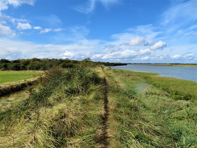
Back on the sea wall we followed the long curve of the Thames. In the ooze of a creek a bar-tailed godwit stood on watch, a bulky wading bird with a great pink dagger of a bill, newly arrived from its Arctic summering grounds. Behind it the creek shores were lined with glasswort in autumn purple and crimson.
The homeward path lay across wide marshes over which a dense clot of black dots resolved itself into a whirling army of starlings. Sheep grazed stolidly, and in the distance a line of cranes at London Gateway port stood with heads raised like a herd of giraffes on high alert.
How hard is it? 5½ miles; easy; level tracks and paths
Start: Cliffe Pools car park, Cliffe, near Rochester ME3 7SX (OS ref TQ 723760). Car park free – closes at 4pm
Getting there: Bus 133 (Chatham, Rochester) to Cliffe
Road: A2, A228 (‘Grain’); B2000 to Cliffe; RSPB reserve signposted here (brown sign)
Walk (5½ miles): Pass noticeboard; left along lane. In 500m, just past ‘Pinnacle Trail’ sign on right, track bends left (725764). Fork immediately left on track. In ¾ mile at ‘England Coast Path’/ECP sign, left (715769); in 100m, right across sea wall (‘Saxon Shore Way’, yellow arrow). On between two blocks; path through scrub, then on. In ½ mile reach south side of Cliffe Fort (706766). Return to recross sea wall (715768); left along ECP. In nearly 1 mile, at metal gate with kissing gate (710775), fork right on track across marshes for 2½ miles back to car park.
Lunch/Accommodation: Six Bells, Church Street, Cliffe ME3 7QD (01634-221459, sixbellscliffe.co.uk)
Info: rspb.org.uk/cliffepools


;)
;)