First published in: The Times Click here to view a map for this walk in a new window


Facebook Link:

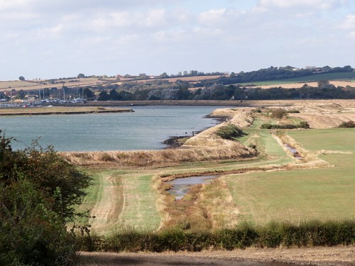
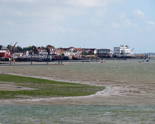
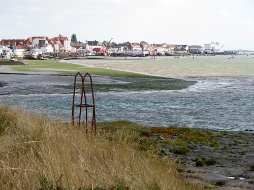
The little train from London rattled through the low-lying countryside of easternmost Essex. Burnham-on-Crouch lies almost at the end of the line, a small self-contained town for sailors and oyster-eaters, tucked into the mud and saltmarsh on the north bank of the sea-going River Crouch. The great days of fishing-smack fleets and smuggling ketches may be gone, but Burnham on a day like this, under a blue sky with a brisk east wind blustering in from the North Sea, is a salty town you want to linger in.
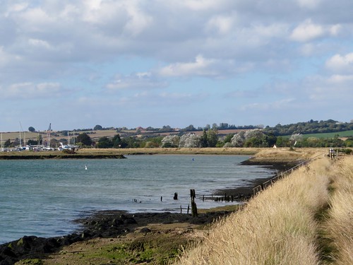
We put our backs to the breeze and headed upriver away from Burnham marina where the yacht halyards were screaming softly in the wind. Black-headed gulls in white winter hoods were tossed about the sky, too intent on staying aloft to make their usual fishwife screeching. The wind ruffled the estuary into white horses and slapped the waves against the wrinkled mud banks. Across the Crouch came more faint banshee wailing from the yacht rigging in a distant marina, and the iron clank of a crane unloading timber from a dark blue freighter tied up at Baltic Wharf – evocative name.
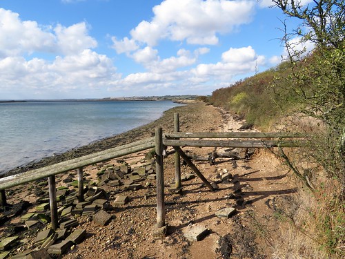
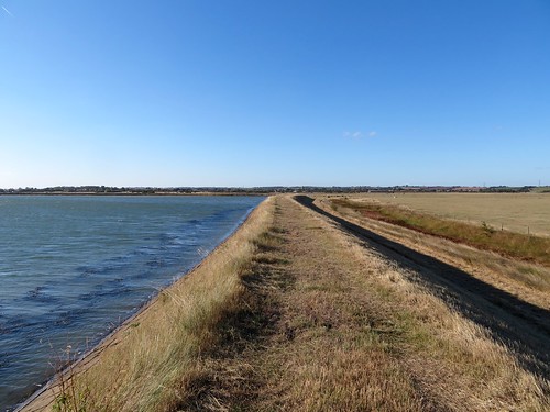
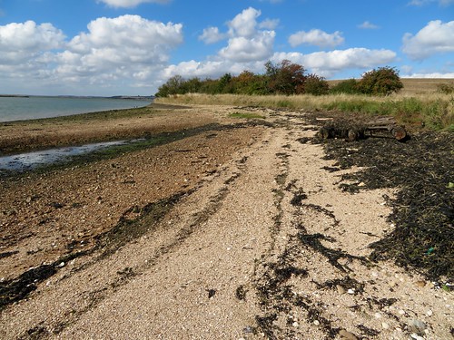
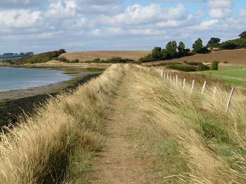
It was wonderfully exhilarating, walking the narrow seawall path above hissing reedbeds and long hanks of bladder wrack flying from posts and railings like a mermaid’s washing. Seaweed lay far up the road at the tiny enclave of Creeksea, testament to the power of East Coast tides at the full.
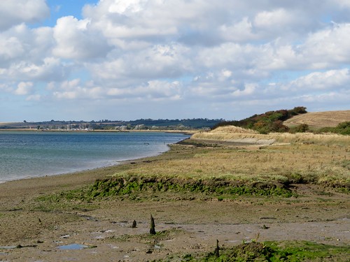
We passed duckboard jetties and plank causeways over the marsh, unfathomable posts in the water, and lines of black stakes squaring off the muddy beaches into long-abandoned oyster beds. To the north the ground rose into a clearly defined ridge of clay farmland topped with small woods and houses; southward across the river it looked flatter and moodier, a compelling landscape spreading into the long creek-divided wastes of Bridgemarsh Island, where brent geese were feeding.
The navigable channel past the marsh island was marked with stakes, each thin rod topped with a warning triangle. A stranger in these shallow, murky waters would find it all too easy to go aground on an unsuspected mudbank.
Egrets rose out of the creeks, snow-white against the dun marshes. The wind puts its hand in our backs and shoved us along, mile after zigzag mile, until Fambridge’s little quay hove in sight, with a row of sea kayaks like a rack of giant kippers hung up to dry in the wind and sun.
Start: Burnham-on-Crouch station, Essex, CM0 8BQ (OS ref TQ 948965)
Getting there: Rail to Burnham-on-Crouch.
Road: M25 Jct 29; A127 to Wickford, A132 to South Woodham Ferrers; B1012, B1010 to Burnham-on-Crouch station car park.
Walk (9½ miles, easy, OS Explorer 176.): Down station approach, right; first right along Foundry Lane. In 600m, fork left (944963) on footpath across rough ground to marina. Cross car park, down steps (942961); cross north end of marina; left down far side; right/west (940956) along sea wall. In ⅔ of a mile at Creeksea (932957) follow road; in 300m on right bend, left (fingerpost) on field path to another gate (928961); follow sea wall path west for 6 miles. 400m short of Fambridge Quay, turn inland (857965, waymark) on path northward past Blue House Farm for ½ a mile to road (855973). Ahead to North Fambridge station (856978). Return by rail to Burnham-on-Crouch.
Lunch: Ferry Boat Inn, North Fambridge CM3 6LR (01621-740208, ferryboatinn.net)
Accommodation: Oyster Smack Inn, 112 Station Road, Burnham-on-Crouch CM0 8HR (01621-782141; theoystersmackinn.co.uk)
Information: Southend-on-Sea TIC (01702-618747)
visitengland.com; satmap.com; ramblers.org.uk
The January Man – A Year of Walking Britain by Christopher Somerville (Doubleday, £14.99)