First published in: The Times Click here to view a map for this walk in a new window


Facebook Link:

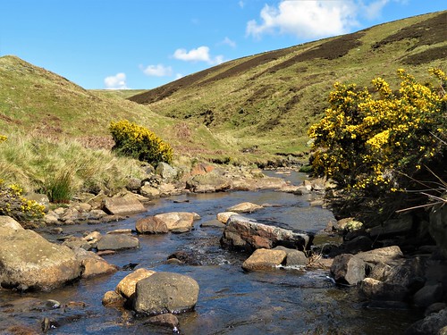
Cyclists flocked round the Durham Dales Centre in Stanhope, and curious tourists took photos of the village’s famous 250 million-year-old fossil tree in the churchyard wall. When a beautiful day like this one arrives over the moors and valleys of West Durham, everyone wants to be out and about. The chatter and fuss of the selfie-takers were soon overlaid by the quiet chuckle of Stanhope Burn as we walked up its narrowing dale against the flow.
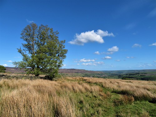
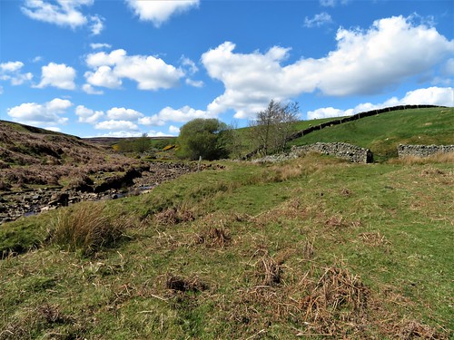
The hillsides north of the village wore the velvety nap and lumpy complexion that betokens a lead-mining landscape. In the throat of the valley we found the pitch-black levels and abandoned buildings of old workings where local miners earned their crusts through hard and health-shattering labour.
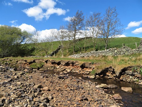
Nowadays Stanhope Burn runs clean and sparkling. Grey wagtails flirted their yellow underbellies on the stones, and a dipper bobbed its white shirtfront mid-stream under a bridge.
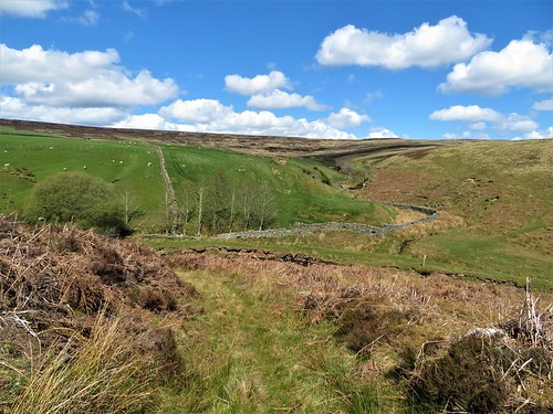
Above the mine buildings we left the valley track and followed a narrow path across hillsides where swallows cut low arcs across the heather and sand martins went scooting along a line of nestholes in the crumbling stream bank. We forded and re-forded the shallow burn, and headed south across trackless moorland where agitated grouse scuttled off, scolding us: Back! Back! G’back!
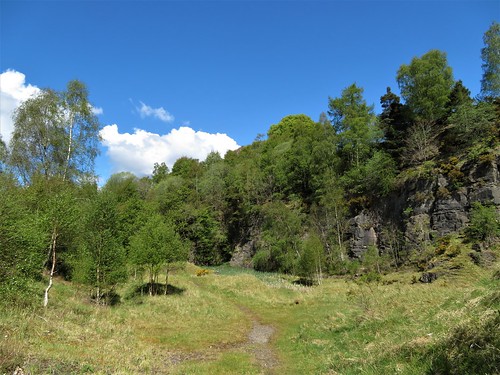
A line of wind-tattered conifers on the skyline formed a handy aiming point. When we had come up with them we found ourselves by Park Plantation with its long encircling wall and swathes of grey and brown stumps of recently harvested trees. The sun blazed and the wind blew fiercely in our faces as we followed the wall south, leaping over boggy sikes or streams that wound through the heather to join Stanhope Burn.
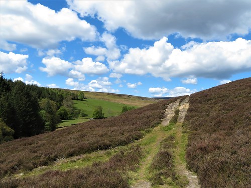
Snipe were displaying over the moors, extending their tail feathers as they dived to produce an eerie, tremulous hooting noise. We turned off along a farm track by Mount Pleasant and Pease Mires, and dropped down to Stanhope through woods where late bluebells and early purple orchids glowed under beech trunks striped with sunlight.
Start: Durham Dales Centre, Stanhope, Co Durham DL13 2FJ (OS ref NY 996393)
Getting there: Bus service 101 (Stanhope-Bishop Auckland).
Road – Stanhope is on A689 (Bishop Auckland – Alston)
Walk (8¼ miles, rugged moorland walking, OS Explorer 307): from Durham Dales Centre, right along A689. In 200m, right up Garden Close. Dogleg right/left to Chapel Street; left; right up path (fingerpost) beside allotments. Through kissing gate/KG at top of lane; on up with hedge on left to a track (995396). Left (KG); follow track to cross B6278 (991400, fingerpost).
In 100m fork left along Stanhope Grange fence. Follow lane for 1¼ miles to derelict mine. After shed on right, and before last one on left, fork right off main lane (987413). Don’t fork immediately left, but keep ahead up stony path which curves left. In 200m through gate; yellow arrow/YA points right, but keep ahead, with Stanhope Burn on left, for ⅔ mile to derelict old cottage. Ford burn near here (987425), and recross just beyond, after left bend in burn. In 500m, at Access Land notice and gate with YA, recross burn (983431).
On south side, grassy track climbs bank. Follow its indented course, then a pathless route SSW across moor, aiming for line of pine trees on skyline. In ⅔ mile, cross stony track (977423), make for right corner of Park Plantation wall (975421). Left along track for 1 mile, keeping parallel with wall, skirting quarry hole (970414) and crossing Reahope Burn, Deep Sike and Isaac Sike to cross Stoneby Sike (966408). 450m beyond Stoneby Sike, left through gate (970404) along farm track past Mount Pleasant (972405) and Pease Mires (979407) to road (982406).
Right; in 450m, left (982402) down drive to Widley Field (984402). Half right here across field to far right corner; over ladder stile (986401). Left; in 50m, left over stile; ahead through trees for 20m, then right along woodland path for ½ mile to A689. Left to car park.
Conditions: For confident walkers with map/compass/GPS. Inadvisable in mist.
Lunch: Durham Dales Centre tearoom.
Accommodation: Stanhope Old Hall, Stanhope DL13 2PF (01388-529036, stanhopeoldhall.co.uk)
Info: Durham Dales Centre (01388-527650, durhamdalescentre.co.uk); thisisdurham.com; satmap.com; ramblers.org.uk