First published in: The Times Click here to view a map for this walk in a new window


Facebook Link:

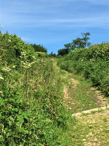
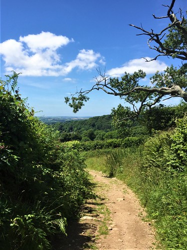
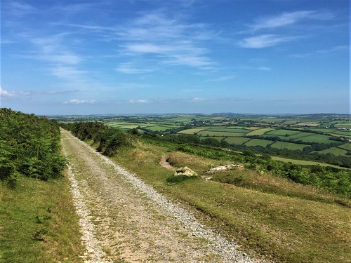
As we crossed Stowford Bridge on the northern outskirts of Ivybridge in proper summer sunshine, the slopes of Dartmoor rose to the north under a blue sky. A stony lane brought us up there, climbing between hedges thick with bedstraw and foxgloves, among which the velvety wings of small heath butterflies flicked open and shut.
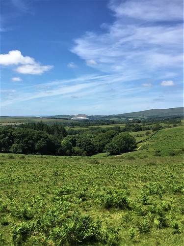
Out on the moor cattle and sheep grazed, muzzles all down. Two contrasting landscapes lay in view – harsh green and brown slopes of bare moorland ahead, with a white scab of china clay workings to the west, and the broad stretch of the South Hams of Devon behind us, a patchwork of hedges, woodland, green pastures and the yellow squares of meadows just cut for silage.
Extracting china clay was one of the most important Dartmoor industries in bygone times. In 1911 a narrow-gauge tramway was built from Ivybridge to the Redlake works in the middle of the moor. We followed its snaking course along the flanks of Weatherdon Hill, across stream trickles where dragonflies with biplane wings and electric blue bodies hunted the sodden green jungles of moss.
Beyond the piled granite boulders of Hangershell Rock a stone row crossed the old tramway. No-one knows when this monument of stubby, shin-high standing stones was erected – perhaps 4,000 years ago – but here it still stands, defying time and weather.
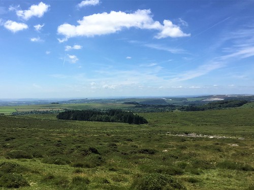
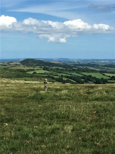
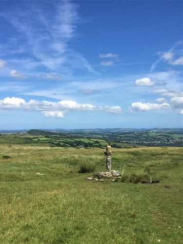
A harras* of moor ponies was gathered round a pond, their manes and tails streaming like the steeds of pre-Raphaelite knights. Nearby stood Spurrell’s Cross, weather-beaten and stumpy, a marker of pink granite sparkling with mica, raised by medieval monks to mark the meeting place of two of their routes across the moor. Here we sat, munching chocolate eggs (nutritious, no – delicious, yes) and gazing north-east over thirty miles of tumbled lowlands.
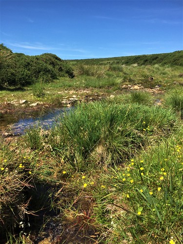
From Spurrell’s Cross we headed south towards Wrangaton along the old monks’ road, a groove in the heather and grass worn by countless boots and hooves. We dropped down to cross Lud Brook at a ford of pink granite rubble. At the foot of Western Beacon we found the old tramway once more, and turned along it for home with half of south Devon spread out gloriously before us in the late afternoon sun.
*Please retain this word – it’s the correct term for a group of these wild ponies!
Start: Stowford Bridge, Cole Road, Ivybridge, PL21 0EY approx. (OS ref SX 641567)
Getting there: Rail to Ivybridge (half mile footpath to Stowford Bridge)
Bus 20A (Plymouth – Macandrew Walk, Ivybridge)
Road – Ivybridge is signed off A38 Exeter-Plymouth. Parking spaces on Cole Road near Stowford Bridge.
Walk (7 miles, easy underfoot, OS Explorer OL28): Cross Stowford Bridge (‘Harford’). In 300m, right opposite Stowford Farm (642570, ‘2 Moors Way’/2MW) up lane. In ½ mile, through gate onto moor (645576); half right on 2MW. In ½ mile, left along tramway track (651583). In 1½ miles, right at pond (658599) for 150m to Spurrell’s Cross. From here, south on broad grass track, keeping Ugborough Beacon on left. In ⅔ mile (663589 approx), keep stream valley close on right, descending to ford Lud Brook (662587). Left along right bank; in 400m through gate (661583); down grass path to gate (661579, ‘Private Property’). Right along edge of Access Land; in 100m, through gate; bear left on grass path round lower slopes of Western Beacon. In ½ mile (658572), right along tramway track. In ¾ mile, left (649575) to moor gate; return to start.
Conditions: Best avoided in mist.
Lunch: Picnic
Accommodation: Anchor Inn, Ugborough, PL21 0NG (01752-690388, anchorinnugborough.co.uk) – excellent, comfortable village inn.