First published in: The Times Click here to view a map for this walk in a new window


Facebook Link:

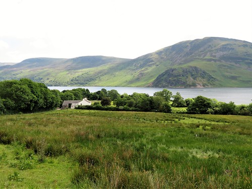
Waking at Beckfoot Retreat, everything was absolutely quiet and still. With the nearest main road over the hills and far away, and the glittering wavelets of Ennerdale Lake at the feet of the fells for a view, we were drawn irresistibly outdoors.
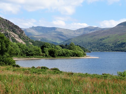
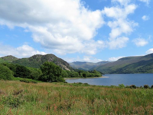
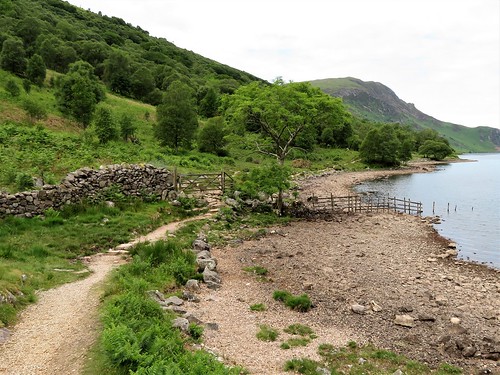
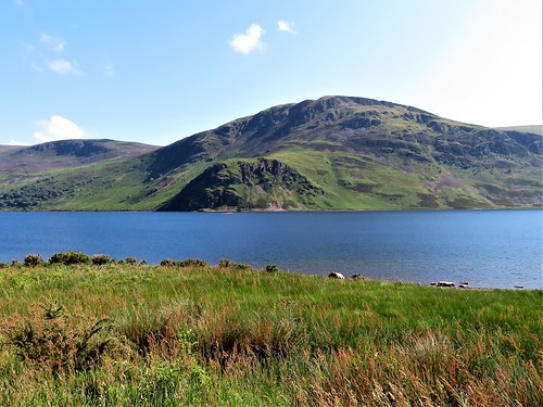
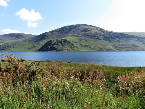
Ennerdale Water is the most westerly lake in the Lake District, and the quietest of all those easily accessible. The only road beside it is the crunchy forestry track that we followed along the north shore.
Big tranches of forest clothe the lower slopes of Great Borne and Starling Dodd on the north side. We moved from shadow to sun splashes under silver birch, rowan, ash and larch, looking up and beyond the trees to see the pink splotchy shoulders of Red Pike and High Stile, two thousand feet above us against the cloudy sky.
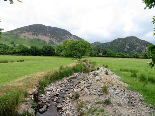
Ennerdale is a shapely valley, scoured out by a glacier high on Great Gable to the east. The glacier pushed its moraine or rubbly foot down the valley towards the sea, piling up a long tongue of rocks where the River Liza runs into the lake. We turned down across this rough grassy hinterland, before setting back westwards along the steeper and stonier southern shore of Ennerdale Water.
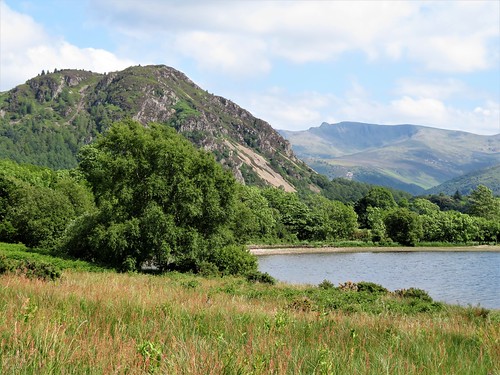
It seems quiet incredible that a scheme should be currently afoot to bury nuclear waste in the granite rock below this lake. But that’s the situation. The lake is deep, dark and cold, a broad trench of water full of life – salmon and trout, and the rare Arctic char, a race of fish sealed into the valley when the glacier retreated. We teetered along the rocky path, watching our footing among the loose stones and tree roots, as white-faced Herdwick sheep watched us suspiciously from the bracken.
A sandpiper bobbed on a shoreline rock before uttering a silvery pipe of a warning, then taking off and flying low over the water. The white bar across its tail flashed in the sun as it turned and scooted for safety elsewhere.
A scramble up and down the slippery rocks of Angler’s Crag, polished to a shine of red and green by millions of boot soles. And a last section round the west end of Ennerdale Water, looking east to Pillar and the Pillar Rock, guarding the mountain approaches to Ennerdale as they have done for the past 400 million years.
Start: Bowness Knoll car park, Croasdale, Ennerdale Water LA23 3AU (OS ref NY 110153)
Getting there: A5086 from Cockermouth to Cleator Moor; left to Ennerdale Bridge; fork right at school to Croasdale, right to Bowness Knoll car park.
Walk (7½ miles, tricky underfoot, OS Explorer OL4): Left along track, clockwise round lake. In 1½ miles, pass modern bridge on right (131143); in another 350m, fork right (134142) down to cross 2 footbridges. Bear left through ruined wall; head across pasture for gate in plantation wall (131138). Go through; right along track; in 100m, right through gate. Left on the outside of plantation wall, and on along south lake shore. In 2 miles, scramble over outcrop of Angler’s Crag (103149); on clockwise round lake. In 2½ miles, path turns inland at Bowness to car park
Conditions: A mild rock scramble at Angler’s Crag; watch your footing! Stumbly path along south side of lake
Lunch: The Gather Café (01946-862453, thegatherennerdale.com); Fox & Hounds (01946-861373, foxandhoundsinn.org) or Shepherds Arms (01946-861249, shepherdsarms.com), all at Ennerdale Bridge.
Accommodation/evening meal: Beckfoot Retreat, Ennerdale (01946-748144, beckfootretreatennerdale.com) – peaceful, secluded and welcoming.
Info: The Gather Café (see above); golakes.co.uk; nationaltrust.org.uk/ennerdale; satmap.com; ramblers.org.uk