First published in: The Times Click here to view a map for this walk in a new window

Facebook Link:

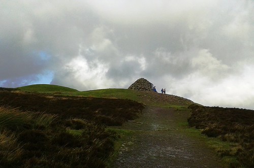
A wild, blustery autumn day had marched in on Exmoor from the west. We waited in the car park at Dunkery Gate until the rain army had charged through and away, and set out in its heels to climb the path to the crest of Dunkery Beacon. A piglet-like squealing came down the wind from above, and when we came over the brow we found three children leaping and yelling for sheer glee round the summit cairn, their coats flying in the gale.
;)
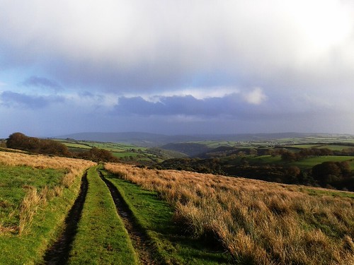
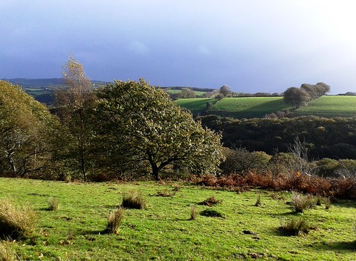
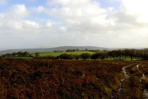
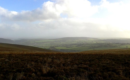
Up here on Exmoor’s highest point, standing by the cairn on the rocky tomb of some long-forgotten king, we drank in the view, as brisk and refreshing as a great gulp of cold water. Ninety wide and beautiful miles stretched out from the tiny tip of the Sugar Loaf, north across the Bristol Channel in Wales some 50 miles away, to Yes Tor’s hummock on Dartmoor nearly 40 miles to the south. Not that we could see those two distant landmarks in such conditions of wind and sun dazzle and rain curtains – it was enough to know they were out there, visible from Dunkery Beacon on the clearest of clear days. What we saw today were rolling ridges of moorland, humped green fields squared with tall hedge-banks, and a sunlit valley leading north to the bulky seaward slope of Hurlstone Point.
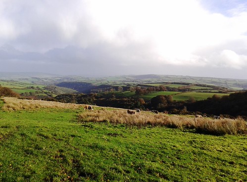
We turned east on the rocky ridge track, bowling along with the wind astern pushing us like a second-row rugby forward. The sun burst out across the hills, bringing the whitewashed farm houses far below into brilliant relief against their green meadows and woods. Suddenly a flight of twenty small birds went skimming across the path just ahead, cutting and turning like one creature, the sun flashing on their white breasts and sabre-blade wings – dunlin or plovers, they passed and vanished too quickly to be sure.
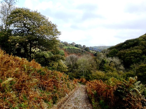
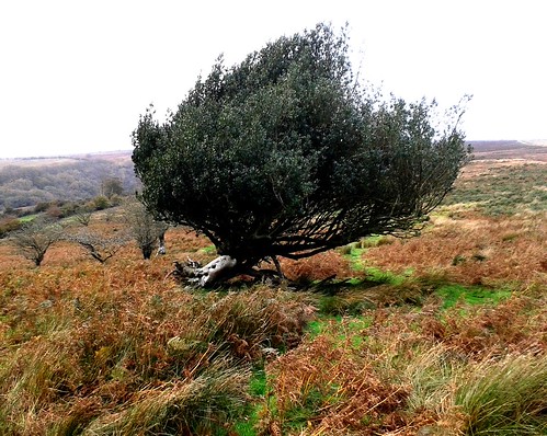
From the ridge, a squelchy river of a bridleway made a sloshy descent southward into the sheltered cleft of Mansley Combe. Down here, deep sunk in the valley bottom, the day fell suddenly calm. Gale-driven clouds tore over from rim to rim of the combe a hundred feet overhead, and the wind rushed and sighed in the beech canopy where leaves scattered horizontally in showers of gold.
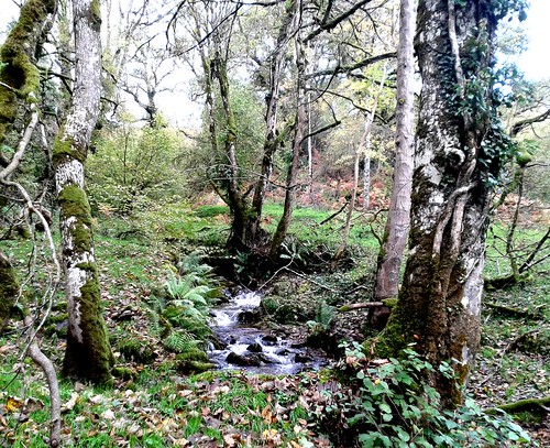
We forded the River Avill, hurrying in bubbles and miniature rapids under a canopy of silver birches and luxuriant, rain-pearled ferns. As we followed the red mud track steeply up towards Dunkery Gate again, from the trees in the depths of the combe came a grinding, grating roar – a red stag bolving*, calling out a defiant rutting challenge to all comers, a wild voice to suit the wild day.
* Yes, that’s the word!
Start: Dunkery Gate car park, near Wheddon Cross, TA24 7AT approx (OS ref SS 896406)
Getting there: Dunkery Beacon is signed off B3224, 1 mile west of Wheddon Cross (A396 Dunster-Dulverton)
Walk (4½ miles, moderate, OS Explorer OL9): Cross Dunkery Bridge; in 100m, left (‘Public Bridleway Dunkery Beacon’) to summit cairn (892416). Right along main ridge track for nearly 1 mile. Cross road (904420) and continue; in 300m, right (907422, cairn) on bridleway through heather for nearly 1 mile. At hedge-bank (914410), don’t go through gate; turn right, keeping hedge-bank on left. In 450m, bear sharp left (910410); follow hedge-bank downhill, through gate (910407, ‘bridleway’), down to track in combe bottom. Right (‘Draper’s Way, Dunkery Gate’); uphill for 1 mile to Dunkery Gate.
Lunch/accommodation: White Horse, Exford, TA24 7PY (01643-831229; exmoor-whitehorse.co.uk)
Information: National Park Centre, Dulverton (01398-323841); visit-exmoor.co.uk
satmap.com; ramblers.org.uk