First published in: The Times Click here to view a map for this walk in a new window
Facebook Link:

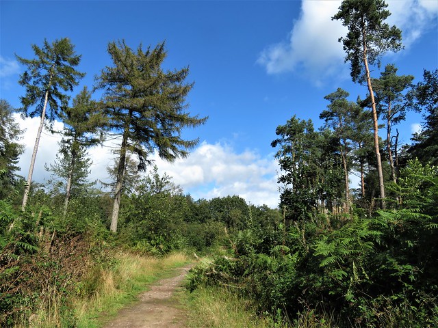
A bright, windy morning after overnight rain in this finger of land where Staffordshire, Shropshire and Cheshire eye each other across a muddle of county boundaries. ‘Loggerheads’ is an old country word for ‘idiots’ – something to ponder as we set out from the village into the ancient thickets of Burnt Wood.
;)
Here a tuberculosis sanatorium once stood. The patients were often wheeled outside in their beds to breathe the fresh air of the forest that was thought to alleviate their symptoms.
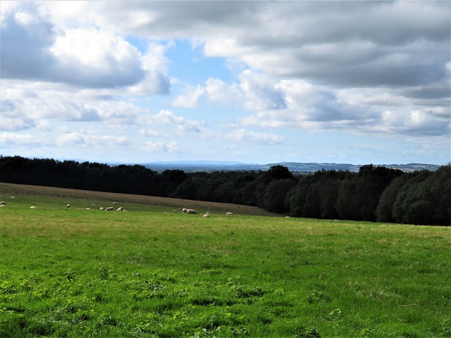
It was a peaceful stroll under the old oaks with their tangled understorey of holly. Patches of heath, flushed purple with heather, gave way to a brackeny track bordered by silver birch and richly golden gorse.
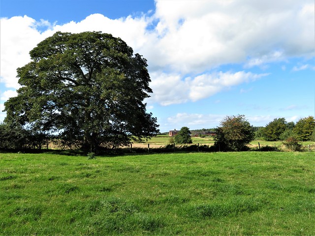
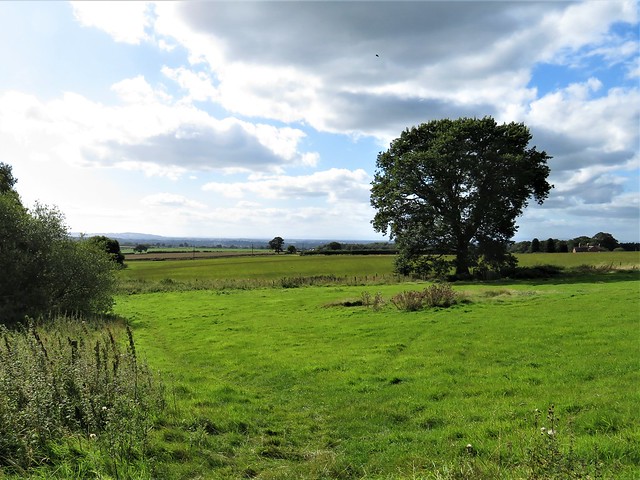
A stony lane led south out of the trees, between pastures where rams had marked the rumps of dozens of fat ewes with orange and blue raddle. Over in Wales the abrupt, wave-like peaks of the Berwyn ridge rose on the western skyline, an eye-catching counterpoint to the gentle roll of the Staffordshire countryside.
At Park Springs Farm three guinea fowl took fright at our approach. With a volley of unearthly whirring screeches they ducked their heads and scuttled off like a gaggle of old ladies in bulky grey cloaks.
A deep-sunk lane buttressed with great slabs of sandstone led past The Nook farm. The barns bore diamond patterns in their gables, some anonymous bricklayer’s careful work in a previous generation. Red-bodied darters hovered and settled on the wooden paddock fence, and the last of this year’s swallows went zigzagging above the lane, fuelling up for the long migration flight to Africa.
In the wooded dell of Lloyd Drumble there was a trickle of water under the sycamores. Along the lane to Hales the hedges were full of rosehips the size and lustre of cherry tomatoes. Over a gate we caught a glimpse of the slope where a Romano-British villa once stood, with a view of trees and far hills that can’t have changed greatly in 1500 years.
From the little hamlet of Hales, Flash Lane led north past Blore Farm, its red brick ornamented with black corners. The path wound back to Loggerheads via the outskirts of Burnt Wood, where plump black sloes hung in the hedge and crab apples bobbed at the end of laden boughs.
Start: Loggerheads PH, Loggerheads, Market Drayton, Staffs TF9 4PD (OS ref SJ 738359)
Getting there: Bus 164 (Market Drayton – Hanley)
Road – Loggerheads is on A53 (Market Drayton – Stoke-on-Trent)
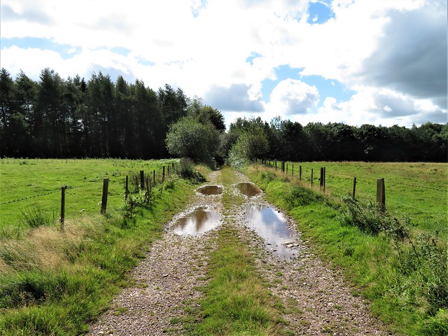
Walk (6½ miles, easy, OS Explorer 243): Left along A53; in 70m, left (Kestrel Drive). In 500m, left (Woodpecker Drive, 735355); on into wood. In 150m, over crossways. In 300m, left at junction (734349). In 700m, at 8-way junction (739351), take second track on right. In ¼ mile, ahead through bushes to stony track (742349). Right. In ¾ mile, leave trees over stile (739339); in 75m, left over stile; along hedge. At field bottom, through gate (738336); ahead to gate; left along track. In 300m at Knowleswood (737332), right up track. In 250m, left (734332); in 350m, right (734329) passing The Nook (732329) and Keeper’s Lodge (727334). In 1¼ miles in Hales (719338), right up Flash Lane. In ½ mile, keep right of Blore Farm buildings (721346, ‘Short Walk’). In 200m, left through hedge (723347, stile, ‘Newcastle Way’) for 1 mile to A53 (736359). Right to Loggerheads pub.
Lunch: Loggerheads PH (01630-296118, theloggerheadspub.co.uk) – the Loggerheads PH advises booking.
Accommodation: Four Alls Inn, Market Drayton TF9 2AG (01630-652995, thefouralls.com)
Info: Market Drayton TIC (01630-653114); satmap.com; ramblers.org.uk