First published in: The Times Click here to view a map for this walk in a new window


Facebook Link:

A strong cold breeze was blowing off the Durham moors down Weardale, and clouds jostled with blue sky on the skyline to north and south. We peeked in the windows of Westgate’s remarkable Methodist Chapel, its pews massed in a thicket of curlicued and painted ironwork. Primitive Methodism was a strongly held faith here in west Durham, whose lead miners and pack horsemen led rough and uncertain lives.
;)
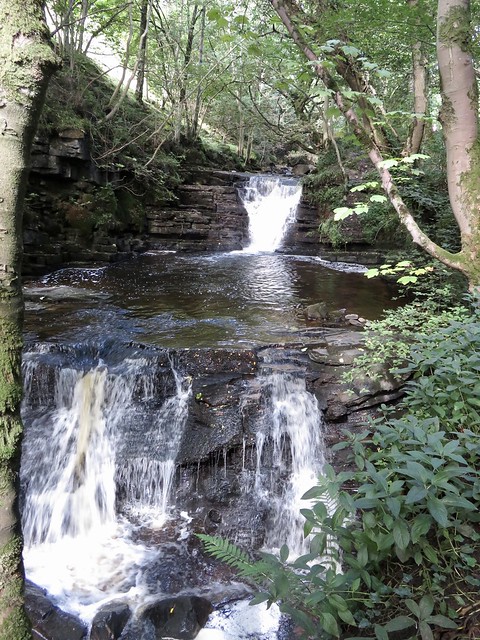
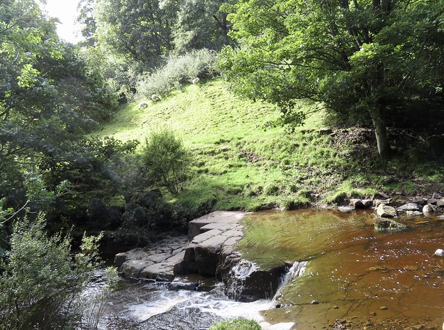
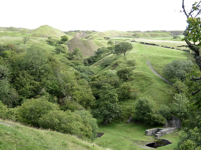
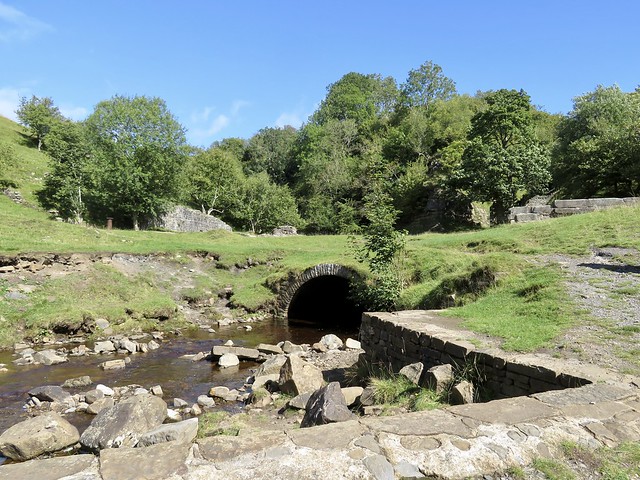
A footpath led north from the village up a steep-sided cleft where the Middlehope Burn came jumping and sparkling down over rocky steps and ledges. We followed upstream to a wide bend of the burn; here the remnants of Low Slitt* lead mine lay scattered.
*spelt variously Slitt or Slit – Slitt seems to be the most frequently used
A waterwheel pit for pumping out the mine, the great stone base where a hydraulic engine lifted buckets of lead ore from the workings, deadly little culverts you could fall into in a twinkling, and a washing floor on a promontory near the river, where little boys with heavy bucker hammers smashed rocks and sluiced the fragments to release the precious ore.
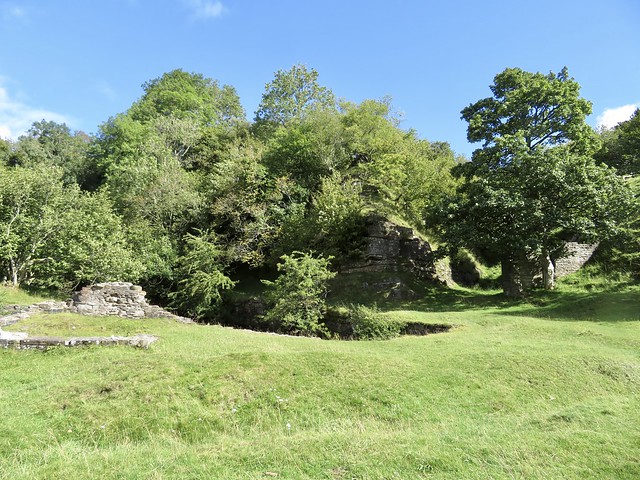
We scrambled up a steep bank to a round reservoir, and stood there looking across the old mine to the hush or gash in the fellside where great torrents of water were released to tear away the turf and expose the vein of lead beneath. Mine tips lay above at the edge of the moor, a fleet of green whalebacks grown grassy with a nap as sleek as velvet.
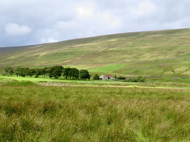
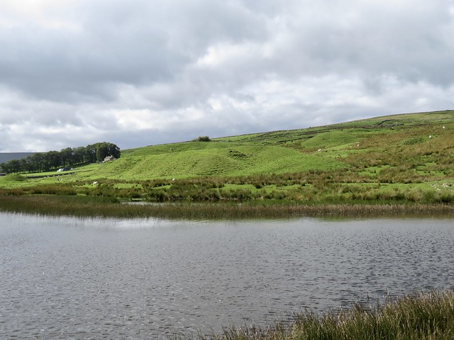
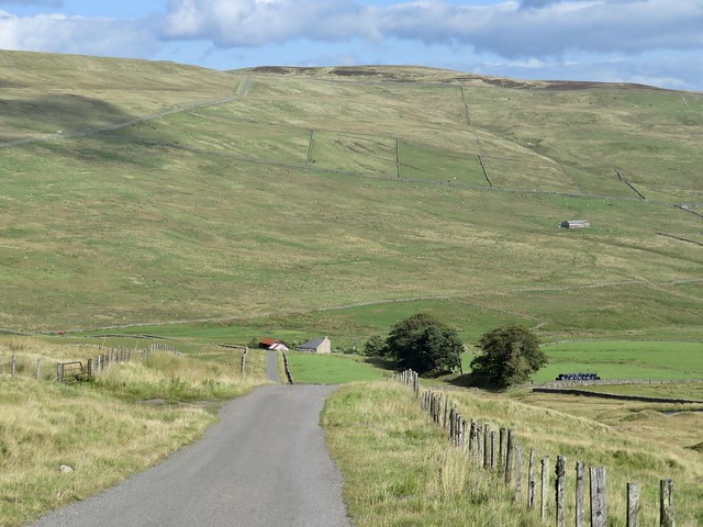
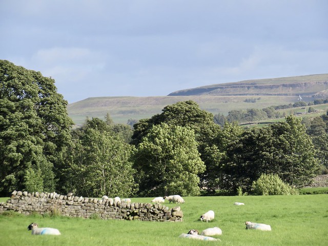
Today this is a scene as peaceful and lonely as can be – great sweeps of daleside, empty save for the dotted sheep, a couple of isolated farms, the ruin of a barn or two, all under an enormous sky.
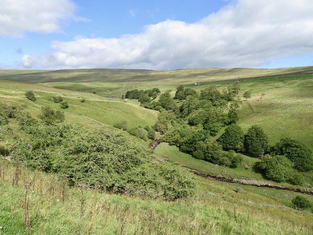
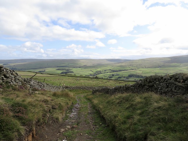
We found a stony lane that led up to the walled fellside track of Springsike Road, boggy with dark mud and patches of rush. Sheep called, the wind blew, hidden streams trickled. Everything seemed simplified and straightforward up here between the dale pastures and the moors.
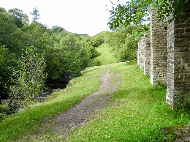
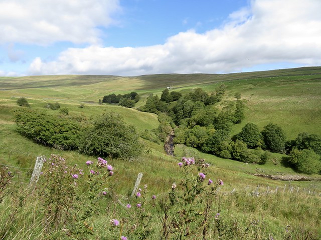
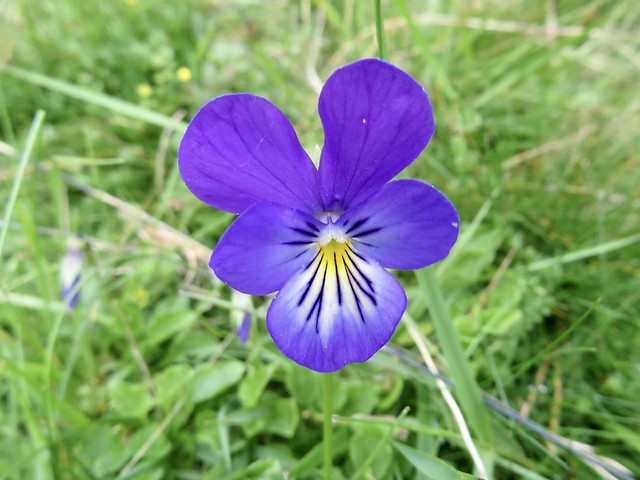
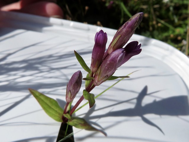
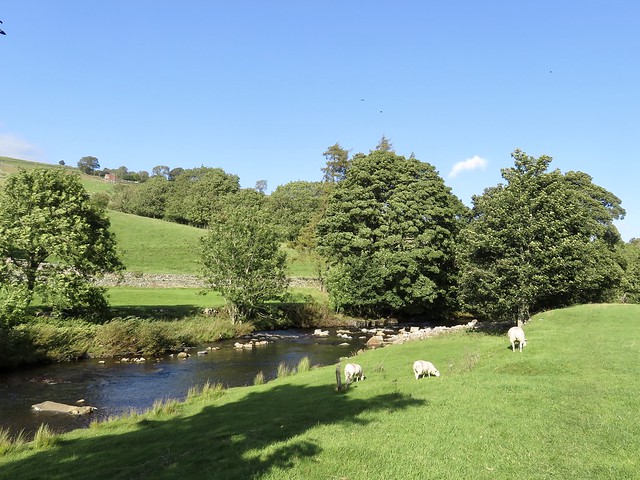
Wheatears flirted on the wall tops, their white rumps flashing as they flew away. Mountain pansies purple and white, wild thyme tussocks and autumn gentians grew by the way. A long walled bridleway brought us easily down into Weardale again and we sauntered back to Westgate beside the peaty River Wear, as clear and brown as molten toffee.
Start: Hare & Hounds, Westgate, Weardale DU3 1 RX (OS ref NY 908381).
Getting there: Bus 101 (Bishop Auckland)
Road: Westgate is on A689 (Stanhope-Alston).
Walk (6¼ miles, moderate hill walk, OS Explorer OL31): Left along A689; first right; in 200m, left (‘Slitt Wood’). Follow path north beside Middlehope Burn. In ½ mile at Slitt Mine site (906392), left up bank by info boards to dam/pool above (904392). Right around dam; at stile (904393) bear right on path with wall on left. In 250m cross stile (904396); in 300m, right over wall stile (905399). In 150m, left up rough rocky lane (904400). At top, right (901399) along Springsike Road walled lane. At road (893407), left uphill. In ½ mile road bends left (885405); in ¼ mile, left (882401, fingerpost) along walled bridleway. In 1 mile at road, left (886387); in 150m, right (888387, fingerpost), half right down to drive. Right to road (886385); left; in 400m, right between house and shed (889382). Cross River Wear (888381). Left on Weardale Way for 1½ miles; left across river (909380) into Westgate.
Conditions: Springsike Road can be wet/muddy
Lunch: Hare & Hounds, Westgate (01388-517212, hareandhoundswestgate.blogspot.com
Accommodation: Westgate Manor, Westgate DL13 1JT (01388-517371, westgatemanor.co.uk)
Info: Durham Dales Centre, Stanhope (01388-527650); thisisdurham.com; satmap.com; ramblers.org.uk