First published in: The Times Click here to view a map for this walk in a new window


Facebook Link:

A cold and brilliant Northumberland morning, the sky blue over West Allen Dale, the light as clear and sharp as glass. Fat lambs in the pastures by the Mohope Burn went bouncing around; so did the hares, jumping and lolloping in close company.
;)
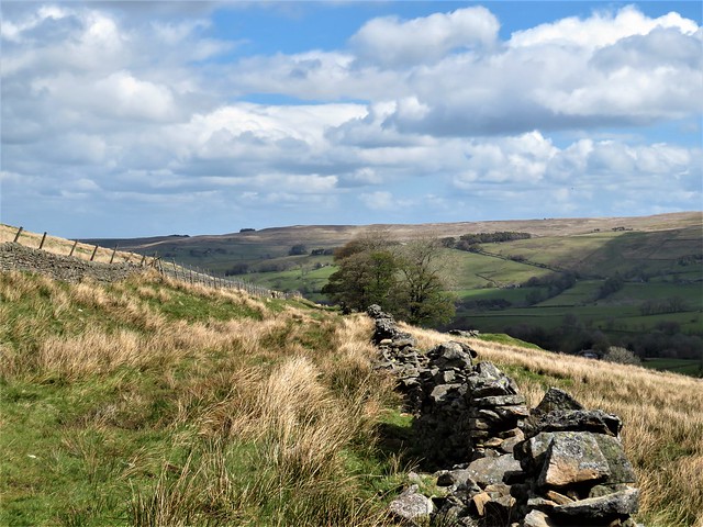
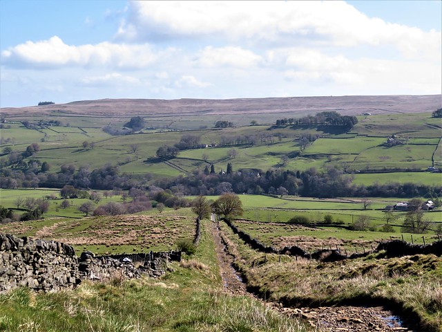
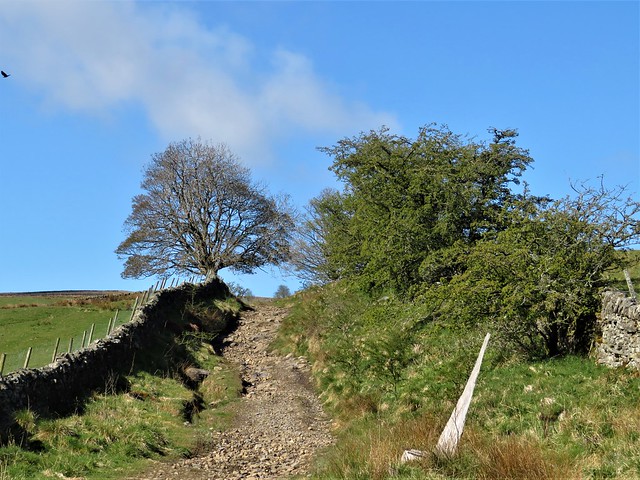
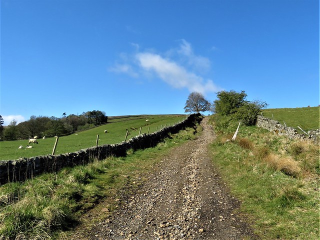
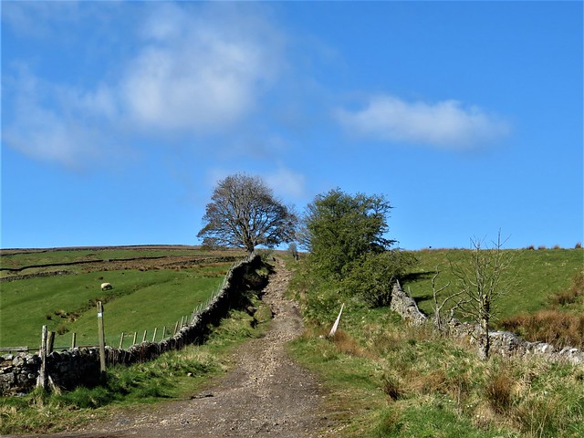
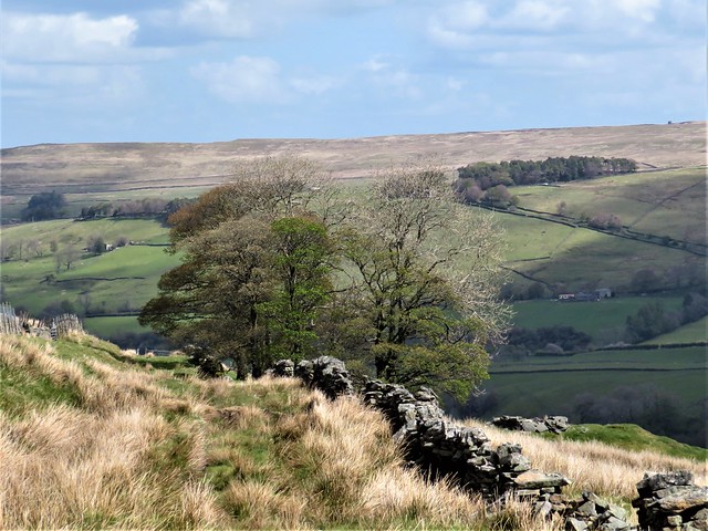
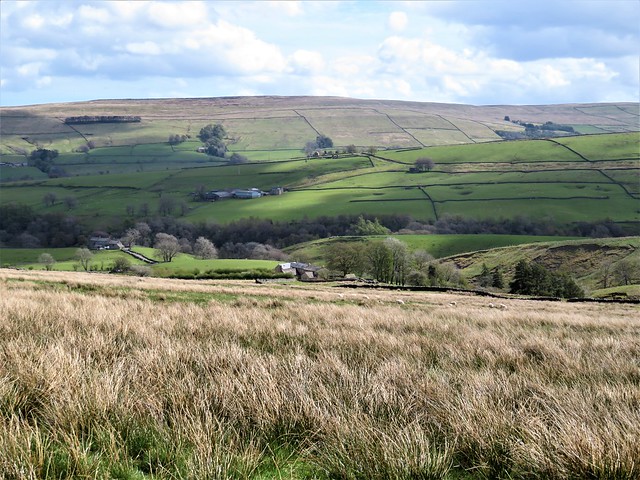
We climbed the lane past the old lead-mining hamlet of Keirsleywell Row, its grassed-over spoil heaps as prominent as Viking burial mounds, then on up toward Mohope Moor on a broad rubbly track between stone walls. All around the land lay open under the sun, green inbye fields striped with walls and dotted with handsome pale stone farms rising to darker moor tops that rolled away out of sight.
Sycamores flanked the lane. These trees, so often sad urban droopers full of blight and insect wounds, were properly grown out here, with limbs stretched to the full. From the sedgy fields came the calls of curlew. Their silvery trilling song, and the abrupt whistling alarm call cur-leek! cur-leek!, seem the very soul of these northern moors.
A cold wind blew out of the southwest into our faces as we reached an old sheep dip flanked by square stone sheep passes in the lane walls. A boggy track led away south across the long upland waste of Mohope Moor, its line indicated by waymark posts among the peat and moss.
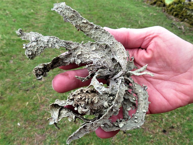
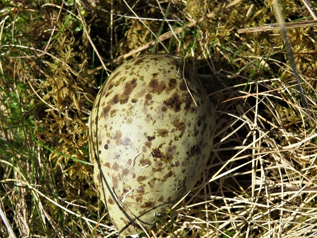
The broken shell of a curlew egg, its olive surface scribbled with tarry streaks for camouflage, lay by the way. Nearby two large pellets, ejected by some raptor with a mixed diet, were a clotted mass of fur, feathers, small bones and fragments of marine shells.
At the black trickling stream of Low Blackish Clough we turned back towards the West Allen Valley, tramping through rushes and down a grassy walled lane to find the homeward path along the pebbly flood meadows of the Mohope Burn.
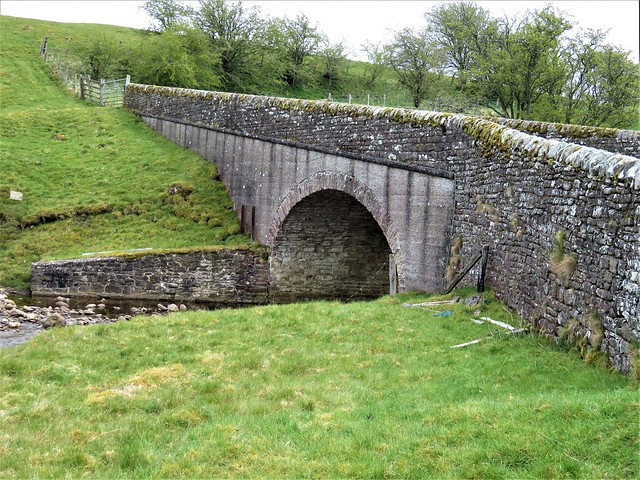
Beyond Malakoff Bridge flashes of silver showed along the river bank. Sand martins were flicking through the air like a shoal of eager fish, darting into and out of their nesting cavities in the overhang of the bank. Their young stood like impatient Deliveroo customers at the threshold of each hole, squeaking as they waited for the next beakful of nutritious insects to be delivered to their doorstep.
How hard is it? 5½ miles; moderate; some rough, boggy moorland walking. Take binoculars to spot waymark posts on Mohope Moor.
Start: Ninebanks Bridge, Chapel Bank, Hexham NE47 8DB (OS ref NY 782524)
Getting there: Ninebanks is signed off A686, Alston-Haydon Bridge. Half a mile beyond Ninebanks, fork right (‘Mohope’); park just beyond bridge.
Walk (OS Explorer OL 43, 31): Take road signed ‘Mohope’. In ¾ mile at left bend, keep ahead (774518, ‘Isaac’s Tea Trail, Long Cross’); climb stony lane for 1 mile to stile at sheep dip (763508, ‘Welcome to the Moor’ signboard). In 100m track bends right; keep ahead here, over stile, then follow waymarked posts (yellow arrows/YA) across moor. In ¾ mile, the sixth post (2 YAs) stands on far bank of Low Blackish Cleugh stream (759497); don’t cross stream, but turn left, aiming a little left of farm on distant slope. In 300m you’ll see line of posts ahead; follow to wall corner (765499); walled green lane to road at Fairplay (769506). Ahead; in 300m, sharp right (771510). In 450m on right bend, keep ahead (774507, ‘Redheugh, Malakoff Bridge’); follow waymarked path for 1 mile to Malakoff Bridge (782518); left on road to car.
Lunch: Picnic
Accommodation: Ninebanks Hostel, Keirsleywell Row, near Hexham NE47 8DQ (01434-345288, ninebanks.org.uk)
Info: Hexham TIC (01670-620450); visitnorthumberland.com