First published in: The Times Click here to view a map for this walk in a new window
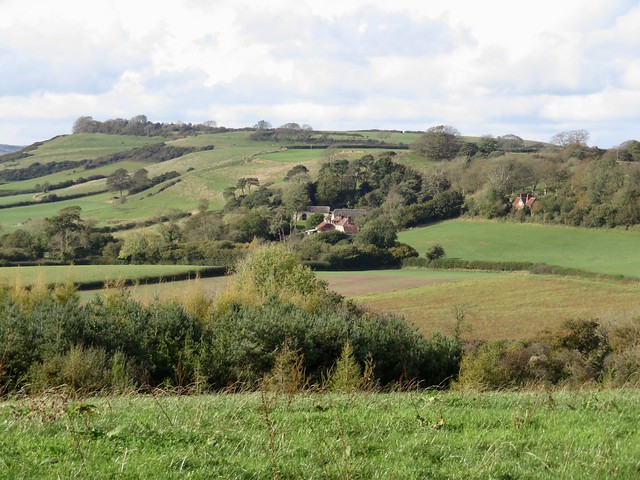


A sunny autumn morning over the Dorset hills, the grass in the pastures wet with dew. The stone-built cottages and church tower of Powerstock looked across a shadowed valley to Nettlecombe, sunlit on the ridge opposite.
;)
From the fields beyond, we looked ahead to see Eggardon Hill rising on the south-west skyline, an upturned boat on a green sea of high ground. We crossed the old railway line below Nettlecombe, where a cheerful man with a car boot full of yapping terriers was whistling for a stray. It scampered up, frisking and unrepentant. ‘Getting his own back,’ said his owner, fondly, ‘because he didn’t get a walk yesterday.’
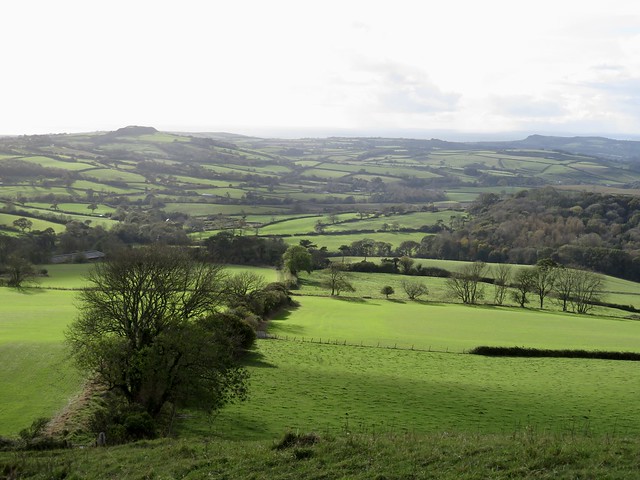
This is Thomas Hardy country, a landscape of knolls and chalky downland, promontories, dimpled ridges and hunting fences in the well-grown hedges. In the south-west a streak of gold showed where the cliffs of the Jurassic coast were crumbling. A late-hatched red admiral butterfly basked on the cobbles of the field track, where puddles from last night’s rain glinted in the strong low sunlight.
Down on Spyway Road we turned past a thatched longhouse and the lonely Spyway Inn before following a bridleway past South Eggardon Farm. Back in the 18th century Isaac Gulliver, King of the Dorset Smugglers, owned the farm. He planted a clump of pine trees on Eggardon Hill as a landmark for his fleet of fifteen luggers bringing silk, lace, tea and gin untaxed from the Continent. The trees were felled by order of the authorities, and Gulliver himself became a respectable citizen. He took up the banking trade, and when he died in 1822 he left an estate worth £5 million in today’s money.
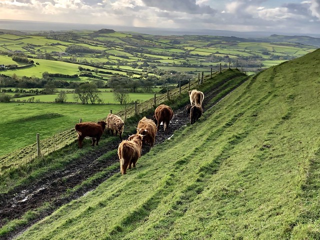
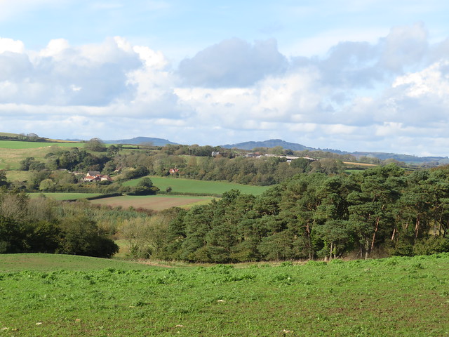
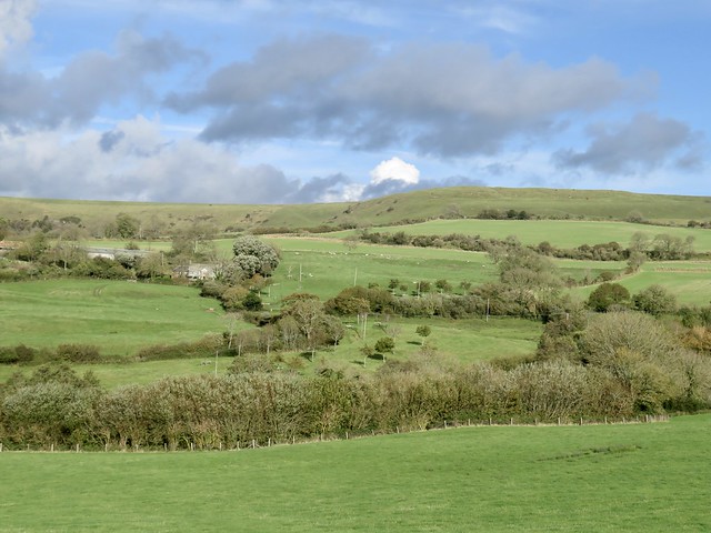
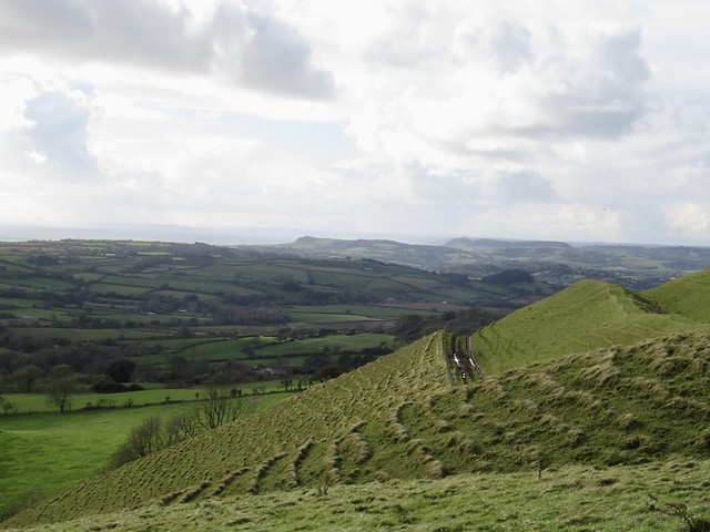
Now the crumpled ramparts of the Iron Age hill fort on Eggardon Hill stood in full view, a little line of limestone outcrops at one end. We climbed through sheep pastures where mistle thrushes, newly arrived for winter, pattered and halted with heads held high as they surveyed us warily.
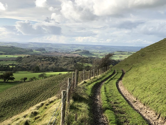
A fenced path led to the hilltop, its smooth flanks hollowed and velvety, seamed like corduroy with hundreds of erosion terraces. Handsome bronze and white cattle moved slowly off in front of us, as a superb prospect opened southward, the sea showing grey-blue in the dips of the cliffs.
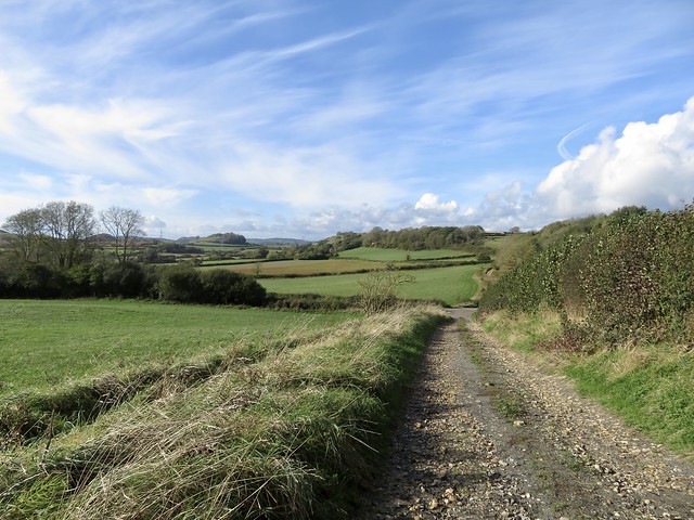
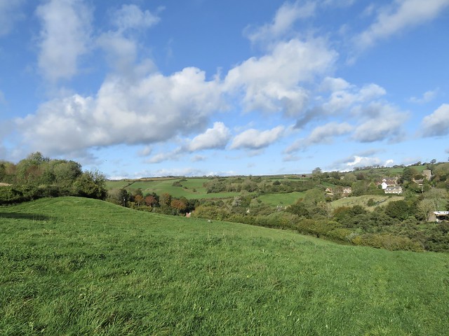
A succession of green lanes brought us back to Powerstock, from where Eggardon Hill resumed its modest status as one bump among many in this steep green country.
How hard is it? 7 miles; moderate; field paths, hill tracks
Start: St Mary’s Church, Powerstock, Bridport DT6 3TD (OS ref SY517961)
Getting there: Powerstock is signed from A3066 (Bridport-Beaminster)
Walk (OS Explorer 117): Pass 3 Horseshoes pub. In 100m, right downhill (‘Nettlecombe’); path to road (517956). Left past inn; in 100m, right past No 3; in 50m, left across playing field. Cross road (520953); cross field to bench; down woodland path; cross old railway (520950). Field track for 1¼ miles to road (528933). Left past Spyway Inn. Left (530932) up drive. At South Eggardon House, right on bridleway up to road (545939). Left; in 350m left (546942) for circuit of Eggardon Hill. Back at ‘National Trust’ gate (544945), left (gate) across field to lane (546946); left. In ¾ mile, lane bends right (536952); ahead here (green lane). In ½ mile track bends left (529955); ahead (yellow arrow/YA) to cross old railway (523956). In 200m, right (522956, stile) downhill. At bottom dogleg left/right (521956) over footbridge. Streamside path, then lane up to road (520960). Left to Powerstock.
Lunch/Accommodation: Marquis of Lorne, Nettlecombe DT6 3SY (01308-485236, themarquisoflorne.co.uk); Three Horseshoes, Powerstock DT6 3TD (01308-485328, palmersbrewery.com)
Info: visit-dorset.com