First published in: The Times Click here to view a map for this walk in a new window


Facebook Link:

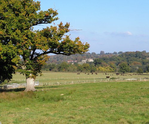
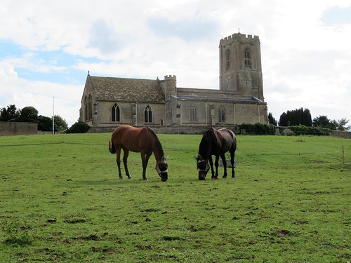
A bunch of lads and girls were shouting cheerfully at one another as they punted a ball about the playing field at Rosliston Forestry Centre. Under a brisk sky they gave an upbeat flavour to the start of our walk through the young plantations along the National Forest Way.
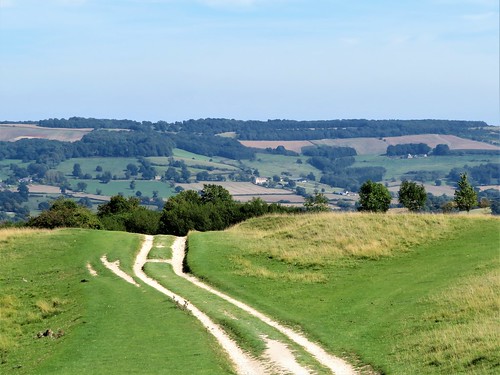
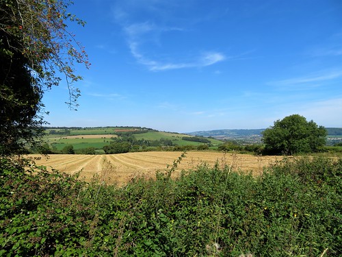
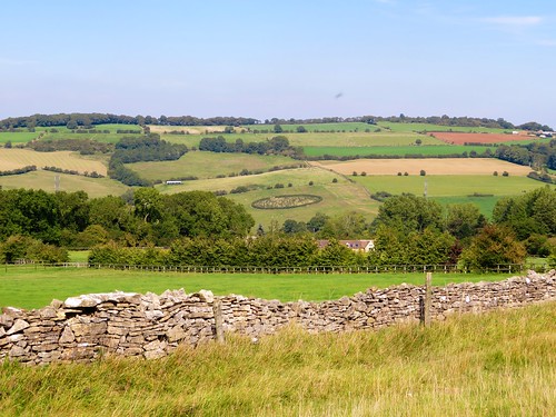
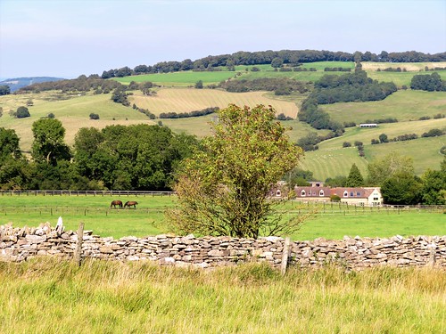
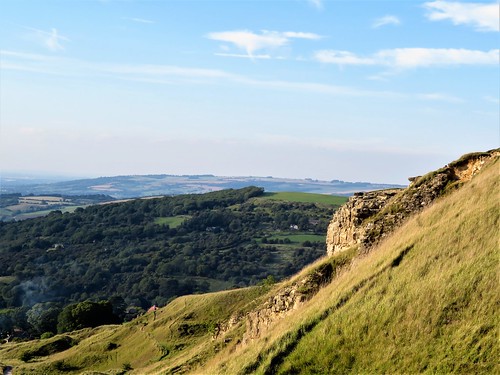
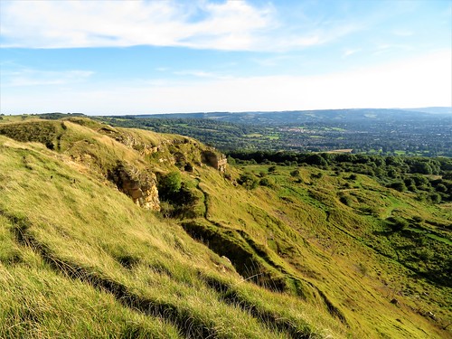
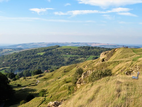
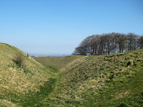
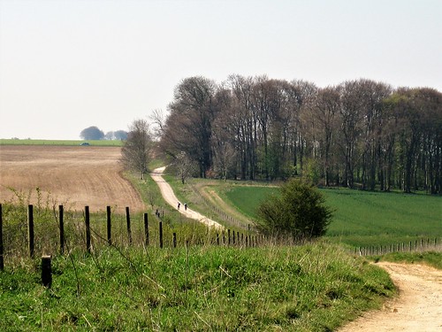
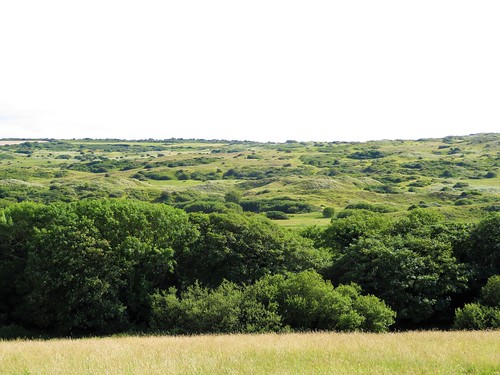
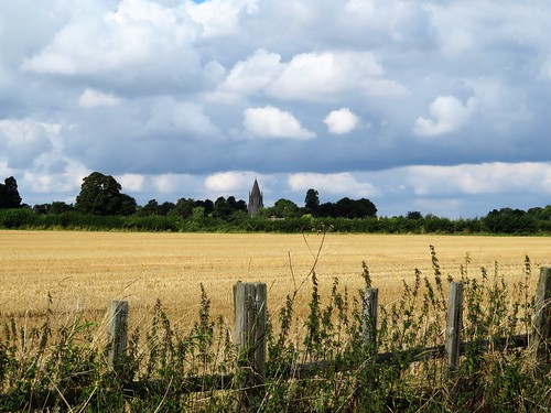
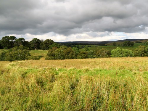
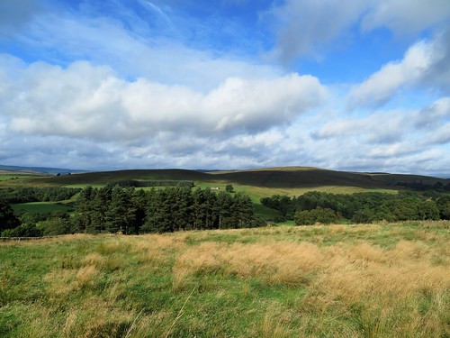
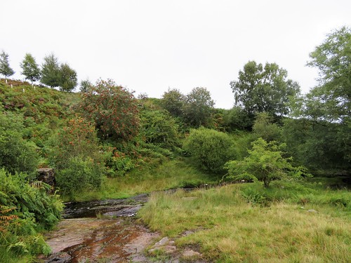
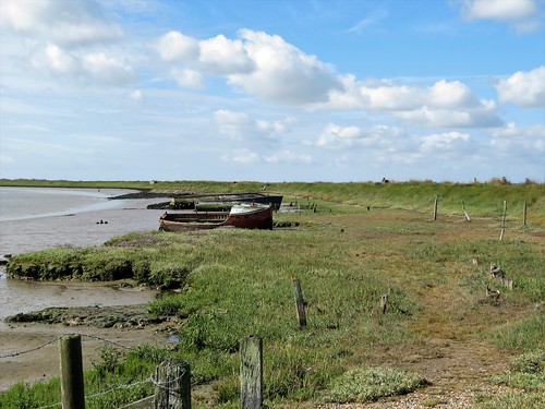
What the National Forest has done for a great swath of the post-industrial Midlands is an unsung miracle. Across 200 square miles of countryside dug, delved and scooped into holes by coal mines and quarries, a green flood of trees is being released – 20 million of them. Dozens of small new woodlands, many linked to form wildlife corridors, lie scattered across the scarred landscapes of Derbyshire, Leicestershire and Staffordshire, their skein of footpaths beckoning to walkers.
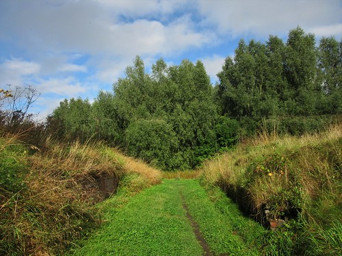
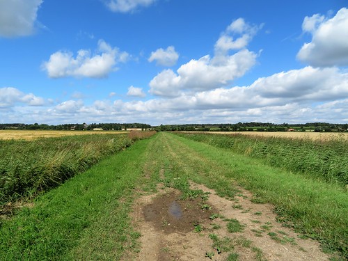
The National Forest Way forms the spine of this network of paths. We followed the well-marked Way along the edge of Rosliston Wood until we left it for the farmland paths around Caldwell. A hundred starlings blackened the hedges at Longlands Farm, stripping the elderberries until our approach had them whirring off in a cloud like clockwork birds.
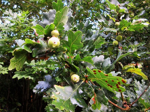
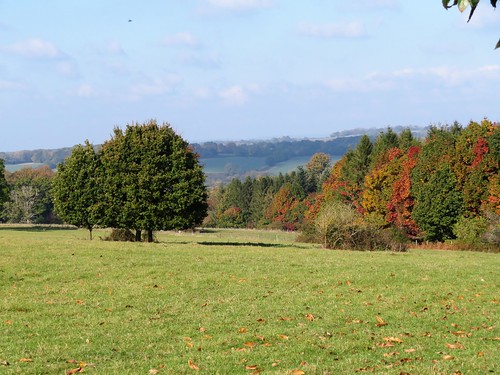
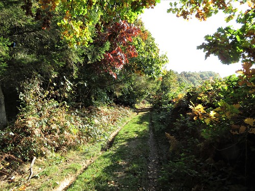
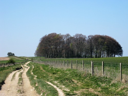
We crossed an old railway, a curve of thistles and thick grass in the corn stubble, and threaded our way along the footpath through Long Close Wood among oak, ash and wild cherry now thirty feet tall. Long Close Wood was planted twenty years ago as part of the ‘Woods on your Doorstep’ scheme, a far-thinking initiative that saw 250 new woods created to celebrate the Millennium.
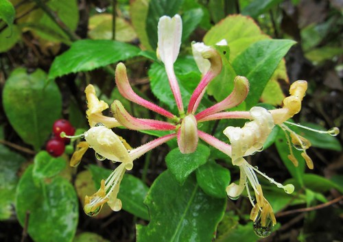
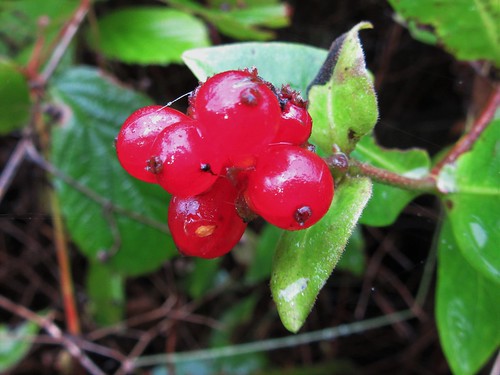
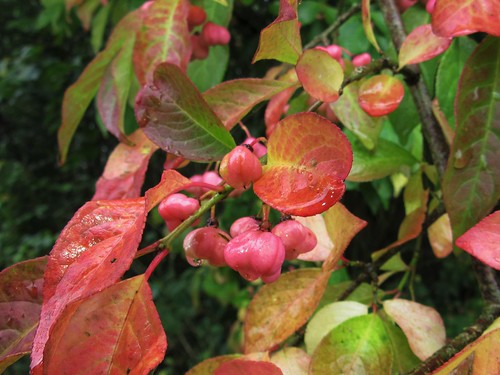
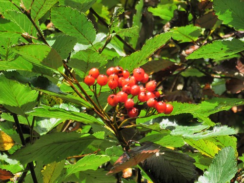
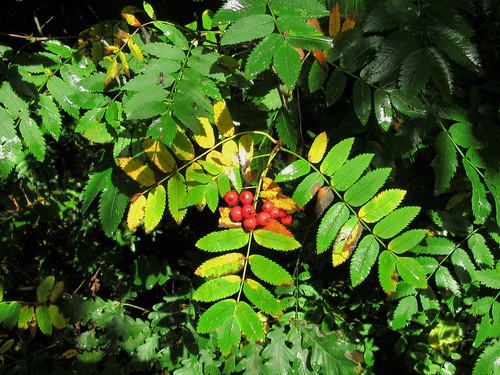
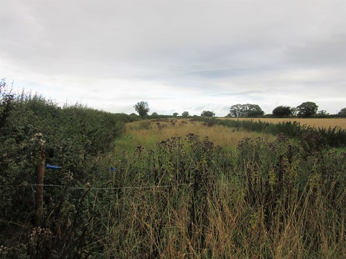
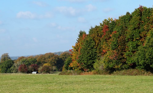
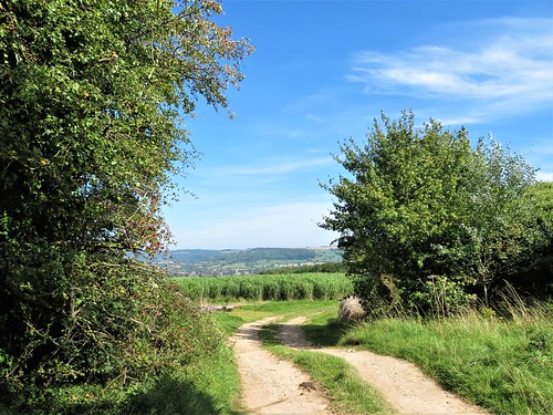
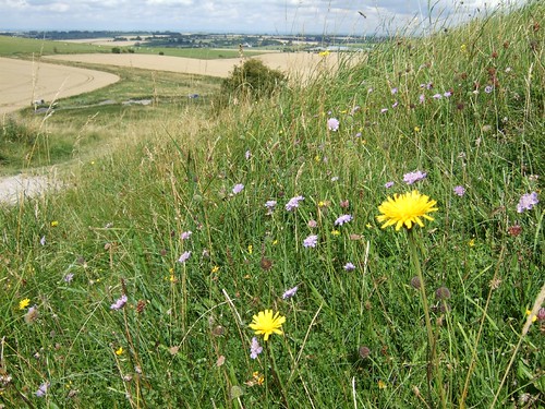
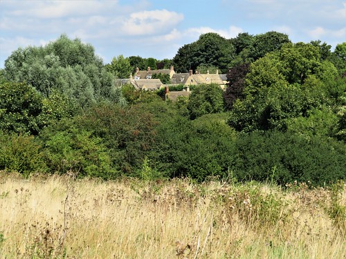
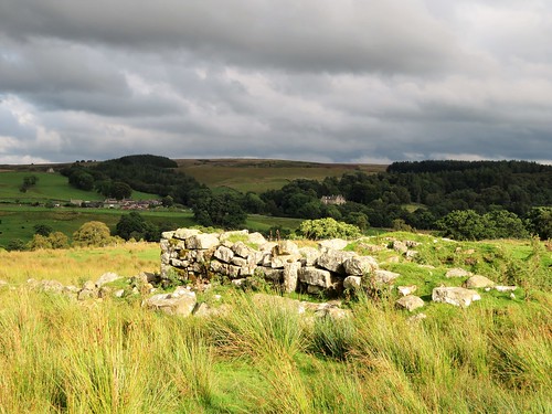
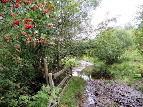
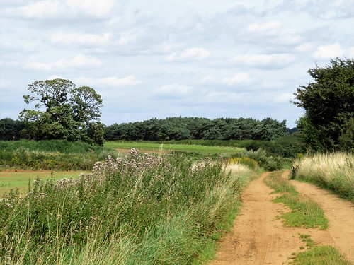
In Top Wood the rowans hung thick with orange berries, the guelder rose bushes with crimson fruit. Hard green crab apples lay where they had tumbled onto the path. Every leaf shone in the sun, making a glitter of the patchwork of gold, green and scarlet. Near Park Farm a row of poplars stood tall as guardsmen with straight backbones and puffed out chests.
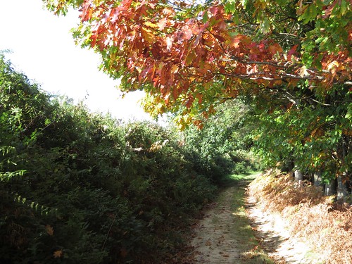
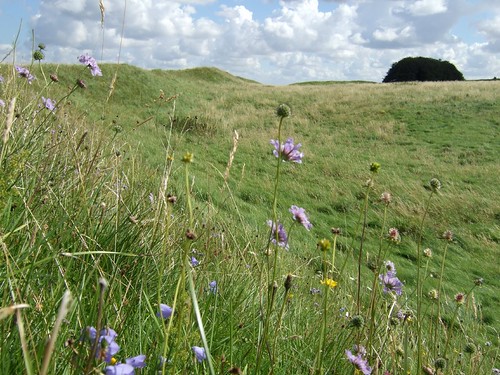
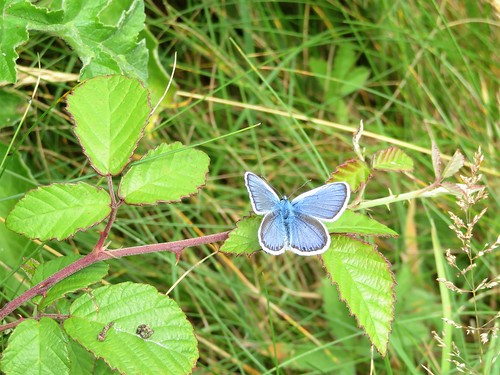
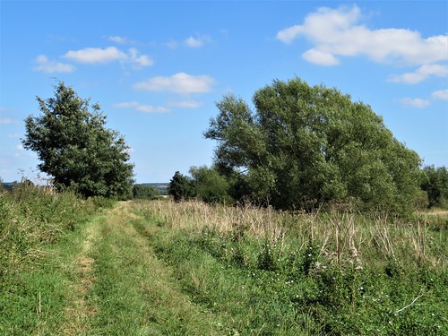
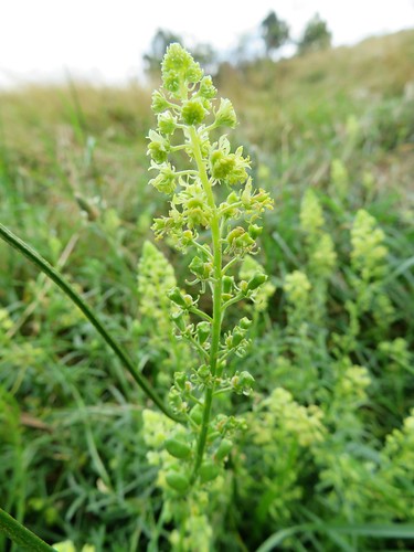
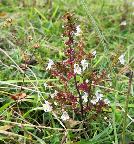
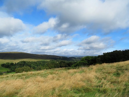
The trees of Penguin Wood, planted just ten years ago, stood only shoulder-high. But the ground around them was bright with late-blooming wild flowers – ragwort, plantain, meadowsweet and lady’s bedstraw. We left the young wood and followed the National Forest Way back to Rosliston, scarcely able to believe the transformation of what was, only a generation ago, a dark and derelict landscape.
Start: Rosliston Forestry Centre, Burton Rd, Rosliston, Derbs DE12 8JX (OS ref SK 243176)
Getting there: Bus 22 (not Sunday), Burton-Swadlincote.
Road – M42 (Jct 11), A444 towards Swadlincote, then follow ‘Linton’ and ‘Rosliston’.
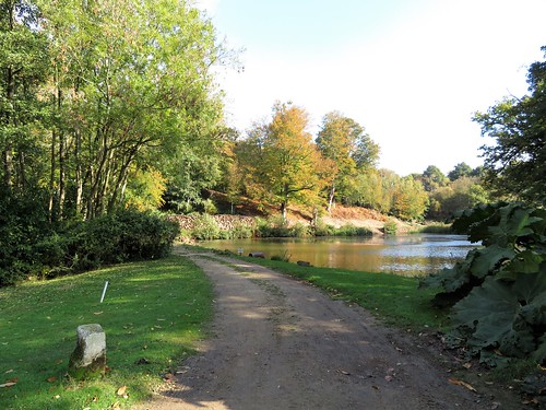
Walk (6 miles, forest and field paths, OS Explorer 245): From ‘National Forest Way’/NFW notice at back of car park, go left and follow NFW arrow to right. In 100m cross playing field to bottom right corner. Left on gravel track. In 200m, right; follow NFW past lakes and across a long footbridge (247177). Right along forest edge. In ½ mile, reach a clearing with bench and crossing of tracks (250170). Leave NFW here, turning sharp left on grass path, passing ‘Cauldwell’ signpost. Along field edge to driveway; ahead to road in Caldwell (255173).
Right past Pegasus School. In ¼ mile on right bend, left through gateway (257170, fingerpost); half right across field to cross Cauldwell Road (259167, stiles, fingerposts). Half left across field, aiming for Longlands Farm (261164); left through 2 wicket gates; on along left side of shed. At far end, cross stile; half right across paddock to gate at far right corner. Left up field edge with hedge on left; through gateway; on with wood on left. Over stile; cross field, then old railway (267165). Cross next field; through hedge; half right, aiming left of white house on far side to reach road (270165).
Cross into Long Close Wood (signed). In 20m fork left along north edge of wood. In 150m, at info board, right along Public Right of Way. In 450m, cross old railway (272159) and on. At a clearing, fork left under electricity wires, past a stile (yellow arrow/YA) and on with poplar hedge on left. Enter Top Wood (271153, signed); in 70m, right (NFW) past Park Farm and on.
In 600m dogleg left/right across road (262156); on past ‘Penguin Wood’ sign across field with trees on right. In 150m turn right, then immediately left over stile into enclosure. Follow grass path to telegraph pole; fork left to cross lower stile; path to north edge of Penguin Wood (259159). Left; follow wood edge as it curves left. In 100m, right across plank bridge; right to footbridge (257159). Ahead (NFW) across large field, aiming to left of Blakenhall Farm. Between 2 oak trees; cross path (255162); past 2 trees beyond; ahead to cross Linton Road (253165).
Along drive, past Cinderlands Cattery (251166), then field edges and forestry outskirts (NFW). Just short of Calves Croft Farm, NFW turns right (249169); keep ahead here to ‘No Public Access’ notice. Left (footpath waymark) round field edge to stile (246170, YA). Right through Rosliston Wood on grass path, past wooden playground, to car park.
Lunch: The Hub Café, Rosliston Forestry Centre
Accommodation: Riverside Hotel, Branston, Staffs DE14 3EP (01283-511234, facebook.com/oldenglishinns)
Rosliston Forestry Centre: 01283-563483, www.roslistonforestrycentre.co.uk
Info: nationalforest.org
visitengland.com; satmap.com; ramblers.org.uk
I would like to draw your attention to the Isle of Wight Classic Buses, Beer and Walks Weekend taking place 14/15 October. This is an annual event and travelling on classic buses – 101 in total – and is absolutely free. People are encouraged to purchase a £6 programme which details all walks and pubs with maps and timetables, plus £40 worth of offers from participating pubs.
Here’s a list of walks http://iwbeerandbuses.co.uk/walks.php.


;)