Search Results : Cambridgeshire Cambs

Jul 232022


First published in: The Times Click here to view a map for this walk in a new window
lush landscape of Fen Drayton Lakes 1 lush landscape of Fen Drayton Lakes 2 lush landscape of Fen Drayton Lakes 3 lush landscape of Fen Drayton Lakes 4 lush landscape of Fen Drayton Lakes 5 lush landscape of Fen Drayton Lakes 6 beautiful bellflowers amid the lush landscape of Fen Drayton Lakes lush landscape of Fen Drayton Lakes 7 lush landscape of Fen Drayton Lakes 9

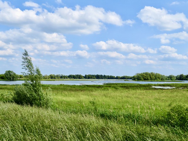
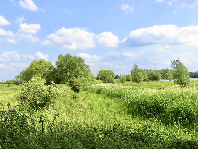
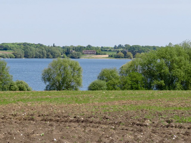
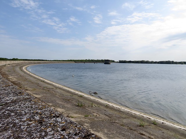
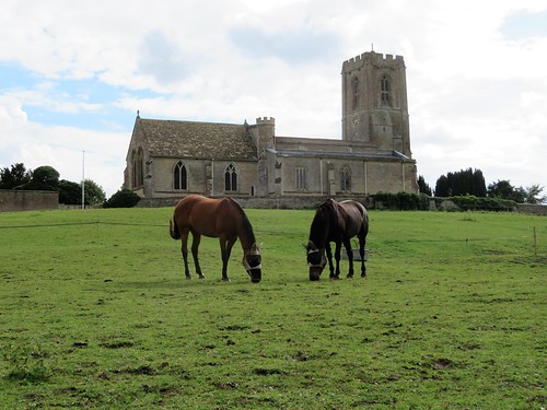
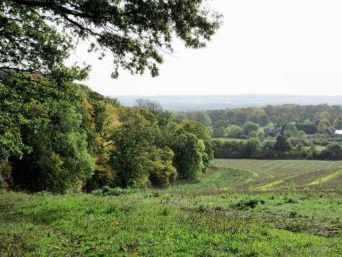
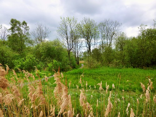
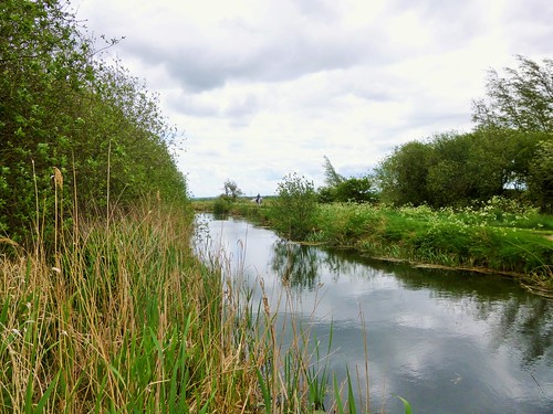
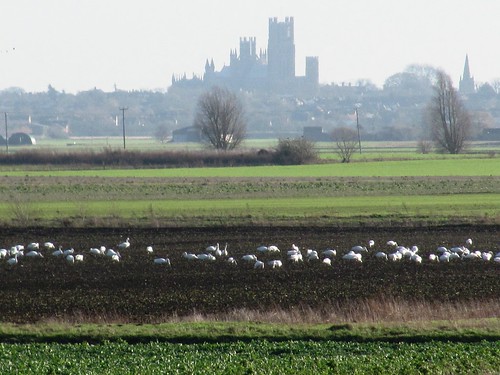
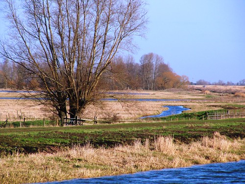
It took a noisy age for the car to crunch down the obscure gravelly byroads leading to Fen Drayton Lakes Nature Reserve. Once out along the trails that weave among these former gravel pits, there was bird squeal and chatter from every thicket and reed bed.

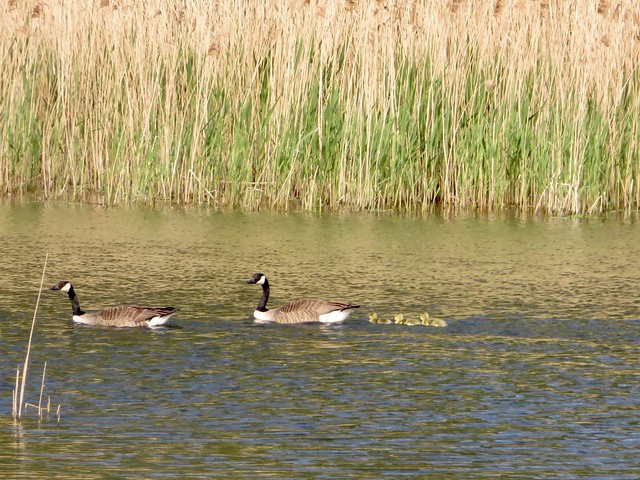
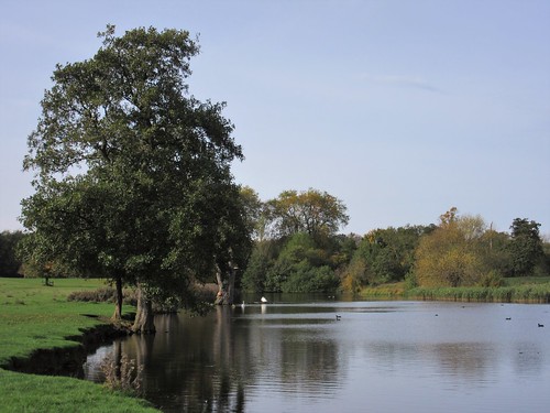
Dunnocks chip-chipped away in the dogrose hedges, coot squawked from the reedy fringes of Ferry Lagoon, and a blackcap unwound its melodious string of a call from a hiding place in the branches of a massive, many-stemmed willow.

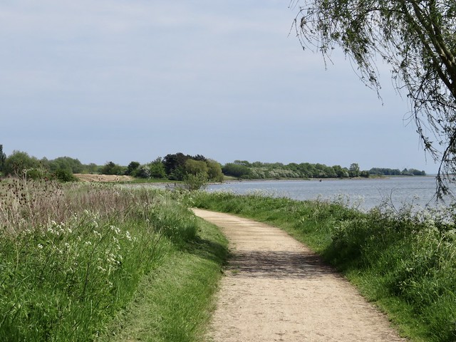
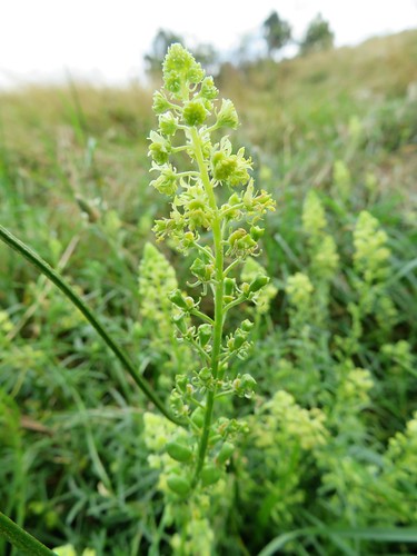
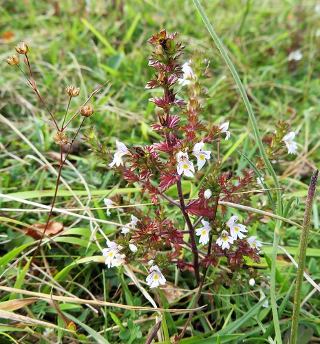
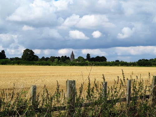
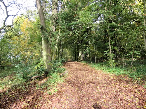
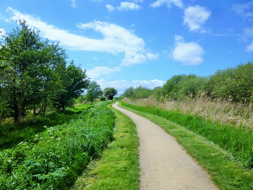
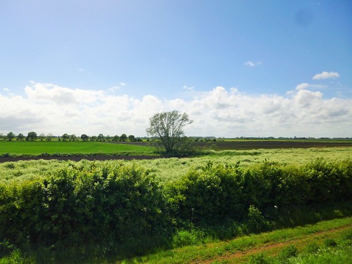
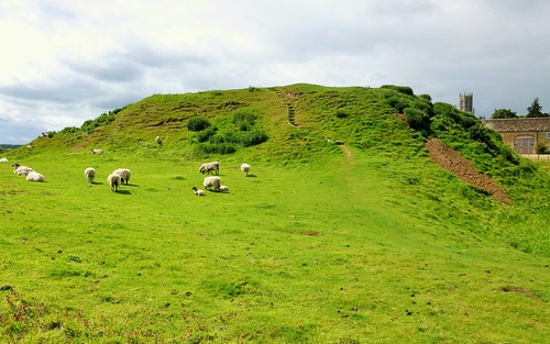
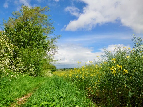
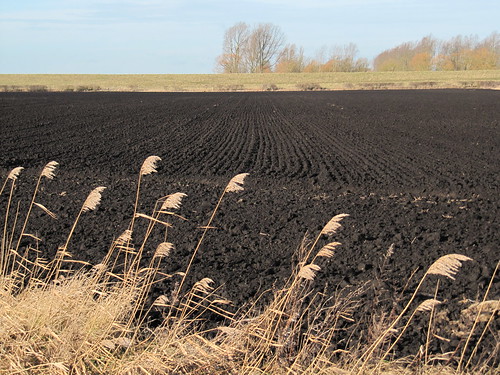
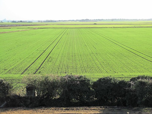
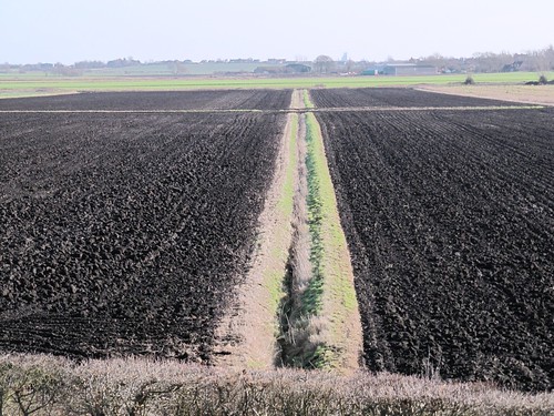
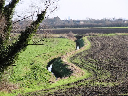
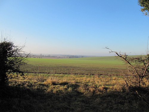
The RSPB sees that the trail paths are well mown, and the grass and undergrowth are kept flattened by the boots of thousands of birdwatchers and strollers. This sunny afternoon, gravelly patches were smeared over by bright yellow stonecrop flowers. A new hatch of damselflies made the most of the hot sunshine, their electric blue needle shapes hovering delicately over nettle beds and grass for a second or two, then vanishing, to rematerialize three feet away

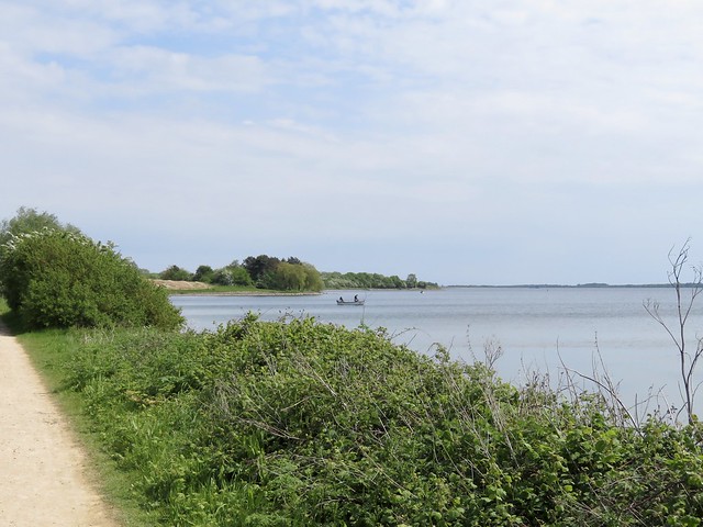
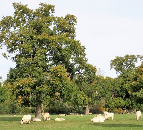
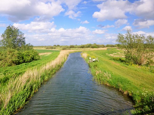
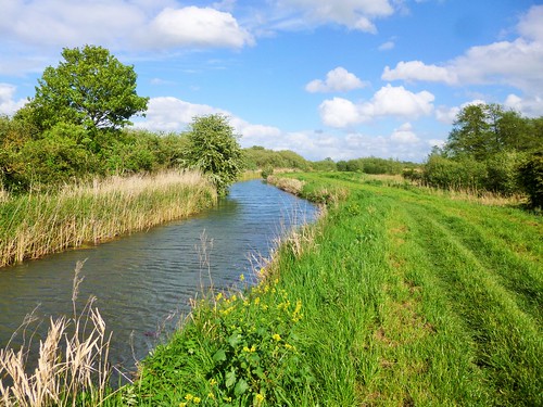
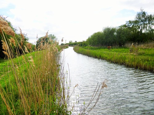
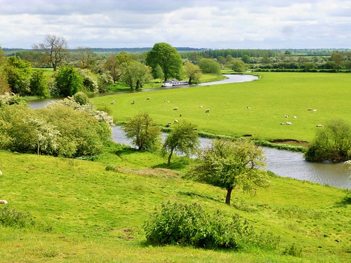
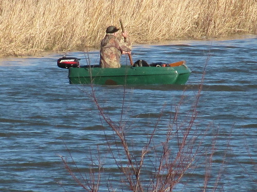
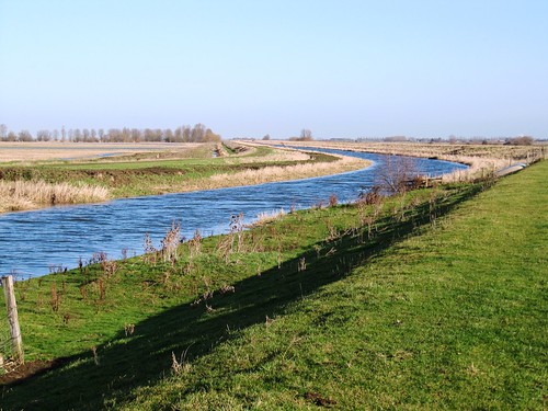
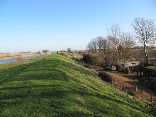
A stretch of paths led us beside the sinuous Great Ouse, where a bare-chested lad proudly helmed his hired river cruiser. Glossy brown cattle munched dewlap-deep in dense grass pasture, flicking their tails rhythmically against the flies. A spotted dog stood guard over a pair of fishing poles while its master caught forty winks in the shade of an umbrella.

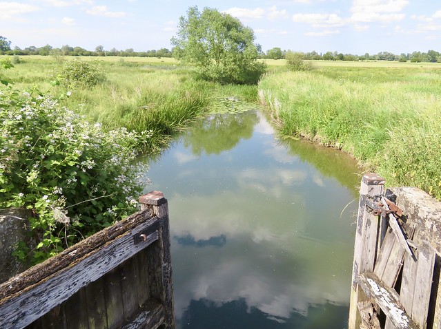
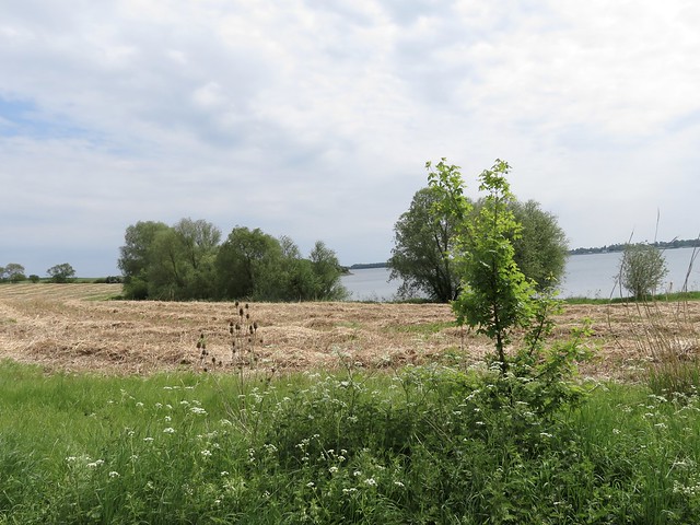
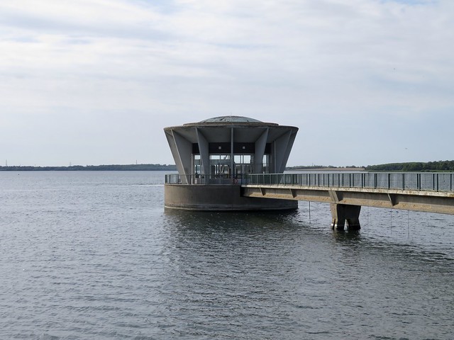
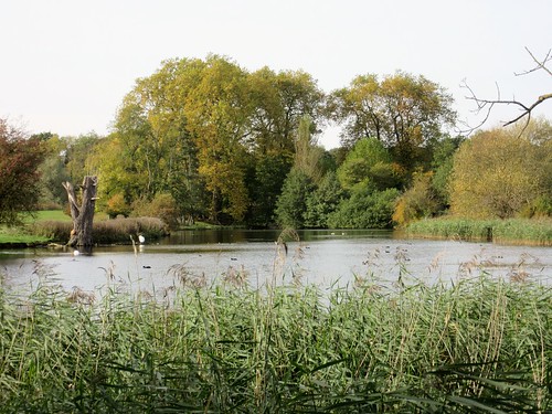
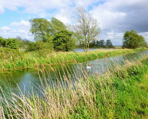
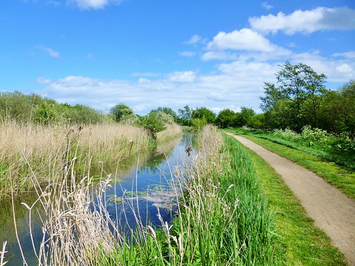
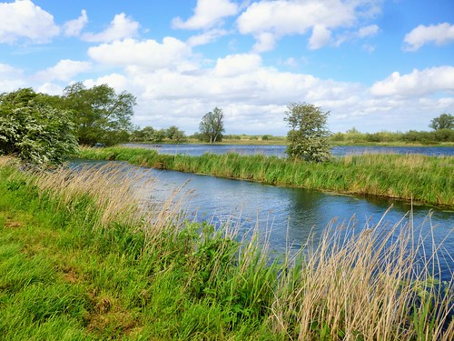
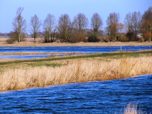
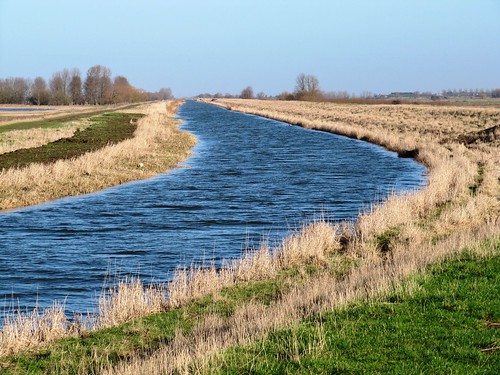
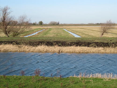
We turned off along the banks of a navigation drain thick with yellow water lilies. From the reeds on Swavesey Lake a grasshopper warbler issued a song like the buzz of a fisherman’s reel. With distant cuckoo calls as a farewell we left the lake reserve and headed for Amen Corner.

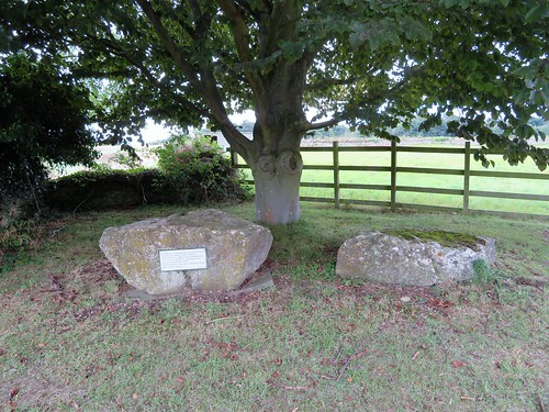
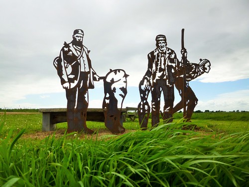
In times past the fen village of Swavesey had more than its share of religious Nonconformists. Primitive Methodists, Ranters, Quakers, and a raft of Baptists – Unitarians, Trinitarians, Particular and Strict, among others. After their clandestine meetings further out in the wilds, many of these dissenters would gather at the piece of ground called Amen Corner, just outside the village boundary, for a final prayer and a last ‘Amen’.

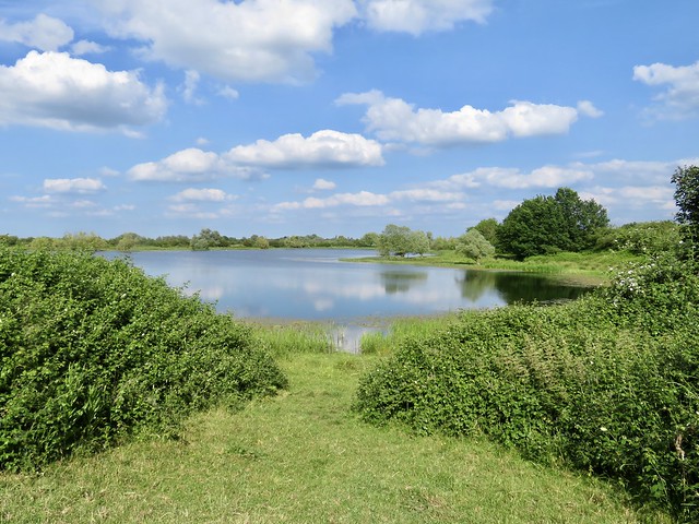
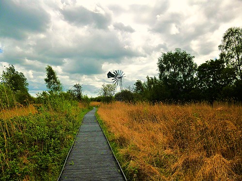
Today a peaceful little Nonconformist graveyard lies here, next to the village allotments. We set course past Swavesey windmill, topped with an exotic onion dome, and were back among the lakes of Fen Drayton in time to hear the evening chorus from briar and bush, and to watch crook-winged common terns diving headfirst into the meres for their last catch of the day.

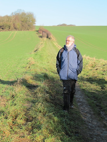
How hard is it? 4½ miles; easy; well maintained, level paths

Start: RSPB Fen Drayton car park, Holywell Ferry Road, Fen Drayton CB24 4RB (OS ref TL 343699)

Getting there: Fen Drayton Reserve is signposted off Fen Drayton Road between Fen Drayton and Swavesey (A14, Jct 24)

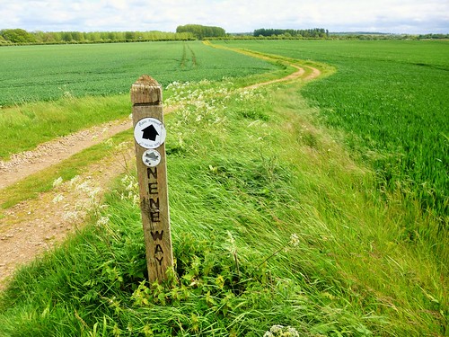
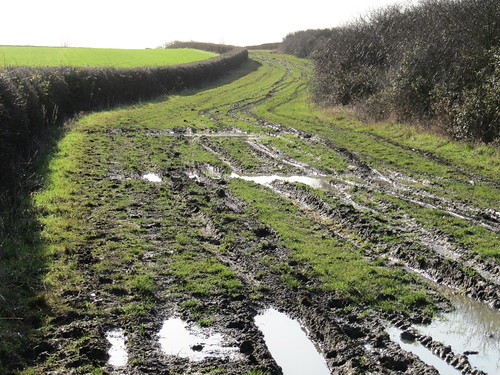
Walk (OS Explorer 225; trail map downloadable at rspb.org.uk/fendraytonlakes): From car park, left along Holywell Ferry Road (track). In 500m, right (342704, ‘Riverside path’). In ¾ mile, just before footbridge, right (352701, ‘Trails’). In 300m, left across Covell’s Drain, right along embankment. At gate, left (353696, ‘Swavesey’). In 400m cross busway (356695; take care, buses drive fast!) In 700m at Amen Corner cemetery (359690), right past Swavesey Windmill (353688). In ⅔ mile cross roadway (350686) and on. In ⅔ mile cross bends of a farm road and keep ahead on footpath (341686). In 200m, right (339686, ‘Public Byway’). Keep ahead where track bends right (340690). In 100m pass car park and on. In 650m recross busway (339696). In 500m, right (339700, ‘Car Park 250m’) to main car park.

Lunch: Picnic

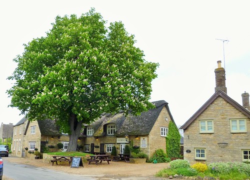
Accommodation: Golden Lion, Market Hill, St Ives, Cambs PE27 5AL (01480-412100, thegoldenlionhotel.co.uk)

Info: Fen Drayton Lakes RSPB Reserve (01954-233260, rspb.org.uk/fendraytonlakes)

 Posted by at 01:52
Jun 132020


First published in: The Times Click here to view a map for this walk in a new window
picture picture picture picture picture picture picture picture picture picture
Facebook Link:

Grafham Water lies large and flat in the lowlands of west Cambridgeshire. We found it hard to get a handle on this great reservoir, so low-lying in such a wide landscape, until we were out on the well-surfaced track that circumnavigates the water, peeping between the willows at the private lives of swans and great crested grebes.

The reservoir swallowed 1,500 acres and four whole farms when it was built in the 1960s to bring drinking water to Milton Keynes. The farmers’ loss was the birdwatcher’s gain. The scrub trees beside the path were loud with song this beautiful summer’s afternoon, blackcaps out-singing blackbirds, willow warblers lording it over wrens.

The track led west through clumps of germander speedwell as blue as the bowl of sky stretched over Cambridgeshire. On our left, monoculture wheat-fields of uniform green where tractors dragged sprayers with seventy-foot arms; on our right, birdsong and the rustle of water beyond a screen of shivering poplar leaves.

Fluffy seeds floated in clusters from the poplars, drifting like hanks of fine grey lambs-wool to their settling grounds along the banks. Fishermen sat stem and stern in their little bobbing boats, rods flashing in the sun as they tested skill and luck against the resident trout.

The west side of Grafham Water is managed as nature reserve by the Bedfordshire, Cambridgeshire & Northamptonshire Wildlife Trusts. What a beautiful job they have made of the orchid verges, the bird hides with their privileged platforms over reed beds and creeks, and the ancient woodlands carpeted with bluebells in spring.

‘The nightingales are in great voice,’ beamed the young warden we met. ‘I’ll be out in Littless Wood listening to them at dawn.’ Every robin and warbler chirrup we heard for the next half hour became the slow, expressive flutings of a nightingale – for a few anticipatory seconds at least. In our hearts, though, we knew it was wishful thinking.

A Bombilius bee-fly with her needle-like proboscis went hovering across the dried-up stubs of cowslips, no doubt looking for the burrow of a solitary bee to fire her eggs into. The Bombilius progeny, once hatched, eat the host larvae in a ‘live and let die’ manoeuvre.

Along the northern shore of the reservoir the wind blew a strong, refreshing blast. Hawthorn branches dipped and bowed, weighed down with blossoms so dense it looked as though a flour dredger had been shaken over them. A chiffchaff sang its early summer song: chip-chap, cheeky chap, chippy chap, a-chip-chap.

At Hill Farm we stopped to watch a pair of swans sailing downwind, their wings upheld like sails, to hiss menacingly at a dog swimming after a ball. Then we crossed the great concrete curve of the dam with its 1960s space-age valve tower, and strolled back along the south shore.

From Lagoon Hide in evening sunshine we looked out over reed beds full of bunting chatter and warbler burble, as the birds of Grafham Water bedded down for the night.

Start: Mander car park, West Perry, Grafham Water, Cambs PE28 0BX (OS ref TL 144672)

Getting there: Bus 400 from Huntingdon.
Road – A1, St Neots-Huntingdon; at Buckden, follow B661 towards Great Staughton. Drive through Perry; at far side, Grafham Water is signed on right.

Walk (9¼ miles, easy, OS Explorer 225): Walk clockwise round Grafham Water, using cycle track and waterside paths.

Lunch: Cafés at Marlow Park and Mander Park for takeaway food.

Info: Grafham Water Visitor Centre, Marlow Car Park, Grafham (01480-812154; anglianwaterparks.co.uk/grafham-water-park)
satmap.com; ramblers.org.uk

 Posted by at 01:23
Sep 022017


First published in: The Times Click here to view a map for this walk in a new window
picture picture picture picture picture picture picture picture picture picture picture picture
Facebook Link:

In the low-rolling landscape of north-west Cambridgeshire sits Ufford, a wholly charming estate village built of the local pale grey limestone. There’s plenty of green ground and plenty of trees at the heart of Ufford, overlooked by the ridge where its church perches high and handsome.

A wren whirred among the sycamores in the grounds of Ufford Hall, where stout parties in white sweaters were assembling for a cricket match in the most leisurely style imaginable. Along the fields of stubble and plough furrows the elm hedges were thick with plump hips and haws. Barnack’s stocky Saxon church tower, silvered by the sun among boiling clouds, beckoned beyond thick dark woodlands.

On the far side of Barnack lie the remarkable ‘Hills and Holes’, the remnants of a vast quarry opened during the Roman occupation and worked until Tudor times. Peterborough, Ely and other great cathedrals were built of ‘Barnack rag’, a durable and workable stone from the great seam of oolitic limestone that snakes from south to north through the geological body of England.

Five centuries of disuse have smothered the old quarry with a rich grassy sward studded with wild flowers. We wandered the miniature hills and dales of the reserve among harebells and parasitic broomrapes, sprigs of deep blue clustered bellflower and the just-emerging purple blooms of autumn gentian. What a beautiful spot, peaceful and remote, sensitively preserved and managed by Natural England.

Just west of the Romans’ quarry runs their great thoroughfare of Ermine Street. We found it under the name of Hereward Way, a broad greenway running straight as a die along the wall of Walcot Park – a superb piece of masonry in its own right, capped with carefully graded stones and pierced with imposing gateways.

At Southorpe the road was lined with old farmhouses in glowing stone – Stud Farm, Bottom Farm, Grange Farm, Hall Farm. A quick circuit round the medieval ridge-and-furrow of Southorpe Meadow nature reserve (all cut and baled already) and we set course for Ufford under telephone wires a-twitter with Africa-bound swallows.

I plucked a single tempting blackberry from the hedge, and beguiled the homeward path by sucking seeds from between my teeth. The White Hart had hove in sight by the time I got the last one unstuck.

Start: White Hart, Ufford, Cambs PE9 3BH (OS ref TF 094041)

Getting there: Bus service – call 0845-263-8153.
Road – Ufford is signed from Barnack (signed from A1, Stamford-Peterborough)

Walk (6¼ miles, easy, OS Explorer 225, 227): From White Hart, along Walcot Road. On left bend, right (091041, fingerpost/FP); in 100m, left (stile, yellow arrow/YA), and follow YAs round field edges. At southwest corner of Ufford Oaks (085043), right on grassy track. In 500m, left at T-junction with bench (085048). Into trees (082047); pass pond; path bears right, then left with hedge on right. In 200m, right (080046, YA) along Church Lane (green lane) to road opposite Barnack Church.

Left; round dogleg; left (077050) along Main Street. Cross Walcot Road; along Wittering Road; in 100m, left up steps (075049) into Barnack Hills & Holes NNR. Ahead over humpy ground; in 100m, right through gate and follow orange ‘Limestone Trail’ arrows anticlockwise through reserve. At south edge, bear right along path to SW edge of reserve (074043); on for 450m to road (070041). Left here (‘public bridleway’, blue arrow) beside Walcot Park wall, then along grassy drive (‘Hereward Way’) to road at Grange Farm (081026).

Left along road. In 600m, right beside ‘The Meadows’ (082031, FP) to make a circuit of Southorpe Meadow nature reserve. Continue up road; at right bend, left over stile (082035, FP); follow YAs across 2 fields to Walcot Road (083040). Right; round right bend, past left turn to Ufford; in 50m, left over stile (085039, FP), under arch and on along track. In 250m, right by Ufford Oaks (085043); retrace steps to Ufford.

Lunch/Accommodation: White Hart, Ufford (01780-740250, whitehartufford.co.uk).

Barnack Hills & Holes NNR: 01780-444704, naturalengland.org.uk

John Clare Living Landscape: wildlifebcn.org/john-clare-country

Info: Peterborough TIC (01733-452336)

Sheffield Walking Festival: 9-17 September (theoutdoorcity.co.uk/walking-festival)
visitengland.com; satmap.com; ramblers.org.uk

 Posted by at 02:12
Oct 222016


First published in: The Times Click here to view a map for this walk in a new window
picture picture picture picture picture picture picture picture picture picture picture
Facebook Link:

When the National Trust do something really well, it’s an absolute treat to be there. The Wimpole Estate in western Cambridgeshire is a good example. On this soft autumn morning the beautifully kept lime avenues stretched away in gold and green and the formal gardens of Wimpole Hall lay immaculately groomed. Cyclists cycled, runners ran, and families sauntered along the parkland walks or conveyed children to sessions of pumpkin lantern carving.

We passed the handsome square-faced bulk of Wimpole Hall, all red brick and pale stone facings, with its fierce statue of Samson slaying his foe with the jawbone of an ass. Up on the hill beyond, the views down broad avenues to south and east caused us to stop and stare – exactly as Capability Brown (whose bicentenary occurs this year) intended when he ‘naturalised’ the low-lying landscape more than two centuries ago.

Subtly sloped ridges rose, cunningly fashioned valleys fell away, artfully leading the eye past spinneys and hillsides to the castellated towers of a ruined castle on a tump. Sanderson Miller, supremo of 18th-century folly architects, perched it there to add a pinch of Gothic melancholy to the scene.

We found a path threading the belt of woodland that girdles the northern half of the estate. It was a classic autumn walk, a soft shoe shuffle through fallen leaves under oak, ash, beech, lime and chestnut, the hedgerow blackthorn sprays heavy with ripe black sloes.

Estate walks map in hand, we puzzled our way out of the trees and down to where the mock castle stood with round towers, arched windows and artistically crumbling walls. A path led down across the wooden lattice of the Chinese Bridge that spans a long artificial lake. Beyond the bridge, fat white sheep with kohl-black eyes cropped the parkland grass, even-tempered enough to allow passing little girls to pat their dewy fleeces.

We climbed the ridge once more for a final stretch inside the woodland belt, then came down to Cobb’s Wood Farm along a grassy track hedged with bright gold hazels. In the farmyard a row of amateur wood turners was hard at work at their primitive, treadle-operated pole lathes under the eye of a National Trust expert. ‘It was supposed to be a Christmas tree,’ murmured one of the turners, ruefully contemplating his wonky creation, ‘but now – I don’t know… maybe a leg for a very short chair?’

Start: Wimpole Hall car park, Arrington, Royston, Cambs, SG8 0BW (OS ref TL 337509). £2 – NT members free

Getting there: Wimpole Estate is signposted from A603, 10 miles south-west of Cambridge.

Walk (5¼ miles, easy, OS Explorer 209. Estate walks map available at Wimpole ticket office): Leaving stable block (ticket office, shop, café), aim ahead on path past front of Wimpole Hall. Through gate beyond; follow fence round to right; opposite wrestling nymphs statue, left (west) up broad grassy avenue (‘Woodland Walk’/WW on Estate map). At top of rise, right (330510) towards folly. In 300m, where trees on your left bend left, turn left over stile (331513, ‘Wimpole Way’). Turn right past info board and follow WW through woodland belt for 1¼ miles to top of rise where woodland ends (331526).

Turn right here and continue on WW through belt of trees. In ¼ mile, turn right on Folly Walk (FW), past info board and over footbridge (335525), following path out of trees and along field edge with hedge on right. Through gate, and follow path to folly (334520). Head downhill between 2 lakes, to cross Chinese Bridge (334517). Left along lakeside; in 300m, left across east end of lake (337516). Aim half right to meet track descending eastwards from folly (337519). Right; just before road, left up grassy field headland. At top of rise, right onto road (338524).

Left for 50m; right along WW in woodland belt. In 400m pass info board on right (‘viewpoint’ symbol on OS map); in another 200m, at well-defined crossroads of tracks (344523), turn right on track out of woods. Follow track to Cobb’s Wood Farm (345517). Right along driveway, over bridge, past lodge to road at Home Farm (341514). Left, then right up Wimpole Estate driveway to car park.

Lunch: Old Rectory Restaurant, Wimpole Estate

Accommodation: Sheene Mill, Melbourn, Royston, Cambs SG8 6DX (01763-261393, sheenemill.com)

Info: nationaltrust.org.uk/wimpole-estate

visitengland.com; satmap.com; ramblers.org.uk

*’The Times Britain’s Best Walks’ by Christopher Somerville (Harper Collins) – 200 walks from the ‘A Good Walk’ column – is published 6 October.

 Posted by at 01:13
Jun 202015


First published in: The Times Click here to view a map for this walk in a new window
picture picture picture picture picture picture picture picture picture picture picture picture picture picture picture
Facebook Link:
A cuckoo was calling, faint and far, across Wicken Fen National Nature Reserve. Unlike the rest of these Cambridgeshire flatlands, Wicken Fen has never been drained for agriculture. Under the National Trust’s expert care for the past hundred years, it remains a juicy, sodden, teeming green jungle, supporting wildlife that has died out or greatly diminished everywhere else.

In front of one hide greenfinches cavorted, vivid in their spring jackets of intense green; from another we watched a beautiful chocolate and red marsh harrier swooping and quartering the reedbeds on long, feather-fingered wings. Then we set out to follow a cycleway across Adventurers’ Fen. What a contrast! On the east of the path, intensive agriculture in drilled green rows to the flat horizon; to the west, the lush pastures of the reserve where Highland cattle and springy little muntjac deer grazed, sedgy pools stood full of geese and egrets, and swallows and hobbies zipped about the sky.

We crossed the long silver finger of Burwell Lode, a manmade drainage channel, and followed Reach Lode west to Upware on a high green embankment with grandstand views across both wild fen and intensively farmed fields. The National Trust’s hundred-year plan, stirringly named ‘Wicken Fen Vision’, would see the nature reserve stretch all the way from Wicken to Cambridge – a restoration of the landscape so beloved of Richard Fielder, King of Upware and copper-bottomed eccentric, who ruled this fenland realm with his fists and foul (but classically trained) tongue in the 1860s.

Fielder, a Cambridge undergraduate and black sheep of a well-heeled family, would smoke, drink, rhyme and fight with anyone who came to his ‘court’ at Upware’s riverside pub, the charmingly titled ‘Five Miles From Anywhere – No Hurry!’ He pitched bargees into the river, blackened friends’ eyes and dispensed punch from his private seven-gallon gotch, a giant jug.

When the railways brought the outside world to Fenland, Fielder and his wild courtiers melted away into oblivion. But at Wicken Fen – these days extending across Adventurers’ Fen and beyond – a corner of the ancient fenland environment in which the King of Upware once reigned as Lord of Misrule has survived, and is prospering.

Start: Wicken Fen NNR, Wicken, Cambs CB7 5XP (OS ref TL 565706)

Getting there: National Cycle Route 11 from Ely.
Road – Wicken Fen is signed from Wicken village, on A1123 between A142 (Newmarket) and A10 (Cambridge). Park in NT car park (£2.50/day, NT members free)

Walk (8 miles – 7 excluding NT Wicken Fen; easy; OS Explorer 226.
Walk circuit of Wicken Fen NNR Boardwalk Trail (optional). From Visitor Centre, right along left bank of Wicken Lode. In 500m bear left, then right across footbridge (560701, ‘Adventurers’ Fen’); left along right bank of Monk’s Lode. In ½ mile, right (539700, Cycleway post 11). Pass Priory Farm (565693) and cross Burwell Lode (564690); left along south bank of lode. Track bends south to cross Cycleway 51 (564684); on to cross Reach Lode (557678). Right along its left bank for 1¾ miles to turn right across lode at Upware sluice (537699). Back along north bank of lode. In 600m cross mouth of Wicken Lode (542696); left (yellow arrow, ‘Wicken Fen’) up its south bank for over a mile. Left across Monk’s Lode footbridge (560701); return to car park.

Lunch: Wicken Fen NNR café; Maid’s Head, Wicken (01353-720727, maidsheadwicken.com); Five Miles From Anywhere PH, Upware (01353-721654; fivemilesinn.com)

Wicken Fen NNR (NT): 01353-720274, nationaltrust.org.uk/wickenfen. £6.80 adult, NT member free.
satmap.com; ramblers.org.uk; visitengland.com

 Posted by at 01:53
May 232015


First published in: The Times Click here to view a map for this walk in a new window
picture picture picture picture picture picture picture picture
Facebook Link:
A cloudy, blustering, boisterous day on the Cambridgeshire/Northamptonshire border. The wind roared in the trees and spat in my face as I walked out of Elton. Even in weather like this, Elton is a postcard picture of an English village with its cottages of creamy limestone packed with fossils, sturdy and enduring under heavy brows of thatch.

In the fields, dandelion clocks by the million, wrens and chaffinches loud and persistent in the willows along the broad and slow-flowing River Nene. By the river I met a flock of cheerful youngsters on a Duke of Edinburgh Award trudge, wrapped like small parcels against the wind and rain.

Low-rolling countryside like this catches plenty of weather – one moment a bright blaze of sunlight bringing skylarks out in full voice over the barley, the next a slash of rain and a burst of wind to silence the birds and turn the field paths sticky. I went on, whistling, towards Nassington’s graceful church spire. King Cnut dined and played chess at Nassington in a great wooden hall a thousand years ago. The Time Team discovered remnants of the structure in 2003, under and around the ancient stone-built manor house opposite the church.

History lies thick on this corner of the countryside. It was at Fotheringhay, a couple of miles to the south, that Mary Queen of Scots met her end in 1587 in the castle by the River Nene. Mired in Catholic plots, real or imaginary, Mary was too much of a threat to her cousin, Queen Elizabeth I, to be permitted to live.

I came into Fotheringhay along the Nene Way, a beautiful pathway across yellow rape fields and between hedges laden thickly with may blossom. The bare castle mound, innocent of all masonry, lay isolated in a field beyond the village’s mellow stone houses and the grand and stately church. I climbed to the top of the mound and found it thick with self-heal and scotch thistles – a poignant flora; for here in the early morning above the sinuating bends of the Nene, the pale and self-controlled Queen of the Scots knelt for the two axe blows that severed her head.

Walking back to Elton across the fields, a flash of red and white stopped me in my tracks. A magnificent red kite hung in the wind on elbow-crooked wings as it searched the barley for prey, utterly indifferent to my existence – a lordly presence above the rain-pearled land.

Start: Elton, Cambs, PE8 6RQ (OS ref TL 086940)

Getting there: Bus service 24 (Oundle-Peterborough)
Road: Elton is signed off A605 (Oundle-Peterborough). Park (neatly!) on village green.

Walk (8½ miles, easy, OS Explorer 227): From village green walk north up Duck Street passing Crown Inn on your right (pavement along road). In 450m, fork right on left bend (086945; Yarwell Mill, Sibson’). Follow this track north for 1 and a half miles; then left (081968) for 700m to meet Nene Way (076969). Left to meet Fotheringay Road in Nassington (068961).

Right to pass Black Horse Inn; left along Nassington village street. Opposite church, and just short of Nassington Manor, left (064961, fingerpost) down path and on over field. In 400m, right along Nene Way/NW (065958). Follow NW (BLAs) for 4 miles via Model Cottages (052937), Falcon Inn (059933) and castle mound (062930) at Fotheringhay, and mill at Eaglethorpe (074916) to go under A605 and on to road at Eaglethorpe sign (076915). Left round right bend; in 100m, left (fingerpost) through kissing gate/KG; right over stile; left between fence and polytunnels. In 300m, left through KG to cross A605 (077918 – please take care!).

Right; in 50m, left through KG; then another. Right up slope; in 50m, left through KG (079919). Follow path north for 1⅓ miles, past quarry heaps, then across Elton Park (occasional BLA) to road in Elton (085939). Left to reach village centre.

Lunch: Black Horse, Nassington (01780-784835, blackhorsenassington.co.uk); Falcon, Fotheringhay (01832-226254, thefalcon-inn.co.uk)

Accommodation: Crown Inn, Elton (01832-280232, thecrowninn.org)

Information: Oundle TIC (01832-274333)
satmap.com; ramblers.org.uk; LogMyTrip.co.uk

 Posted by at 01:27
Feb 022013
 

If we’d come to Witcham in June, we’d have been watching out for flying peas – this out-of-the-way Cambridgeshire village is the venue for the annual World Pea-Shooting Championship. First published in: The Times Click here to view a map for this walk in a new window
picture picture picture picture picture picture picture picture picture picture picture picture picture picture picture picture
Facebook Link:
Today, however, it was the fen wind making our eyes water on a piercingly cold morning, a peerless midwinter day of wall-to-wall blue sky like a Ming bowl upturned over the land.

Like all the other long-established settlements in Fenland, Witcham is footed on an island. This almost imperceptible hummock of clay stands marooned among enormous, saucer-flat fields, reclaimed by constant drainage, labour and bank-building from what was formerly a fenny, marshy and flood-prone landscape. We slogged our way with clay-weighted boots along the margins of waterlogged fields, then turned north-east along the raised bank of the New Bedford River, a broad highway of steel-blue water rippled by the wind.

The twin Bedford Rivers, Old and New, were dug ruler-straight and half a mile apart for more than 20 miles across the face of Fenland in the mid-17th century, to prevent disastrous flooding and to drain the land for agriculture. We followed the New Bedford River for a couple of miles, the wind pouring into our faces as cold and sharp as glass, looking out over pale clay fields that suddenly gave way to a patchwork of chocolate-dark peat ploughland interspersed with winter wheat glinting green in the low sunshine. The exhilaration and sense of space were intoxicating, the views immense, especially to the east where the great central lantern and twin west towers of Ely Cathedral rose on the skyline like a celestial city.

At last we dropped down off the river bank and made our way back to Witcham by way of sticky black drove roads, the cathedral glimmering ghostly pale beyond the sunlit fields. A big flock of Bewick’s swans, over from the frozen Siberian tundra for the winter, was feeding on potato and sugar beet fragments, the white bodies and yellow nebs contrasting brilliantly with the dark peat soil. Their restless piping and honking followed us a long while, a haunting keynote of winter in Fenland.

Start: Witcham village green, near Ely, Cambs, CB6 2LB (OS ref TL463800)

Getting there: Bus Service 106 (dews-coaches.com) from Ely. Road – Witcham is signposted off A142 between Ely and Chatteris.

Walk directions (8 miles; easy; OS Explorer 228): North up village street. Where Mepal Road bends left (462803), ahead along Martin’s Lane for ⅔ mile. At bridge, left (460813, fingerpost) beside ditch for 1⅓ miles to New Bedford River (445817). Right along bank for ¾ mile to pass house at Witcham Gravel (456825). In another 1¼ miles go through fence (469841); down bank, left along path for 200 m; right (470843) through gate; ahead along drove. In 300 m, right (473840); in 350 m left (471837); in 200 m, right (472836). In ½ mile, bear left at fork (465832) for ⅔ mile to road in Wardy Hill (462823). Left along The Green, round left bend; at next bend (470820), ahead (fingerpost) through Vine Leigh Farm gate. Right beside house, through gate, on beside hedge to crossing of droves (471818). Ahead for ¾ mile to Witcham. At T-junction (466802), right through 2nd of 2 gates; left through kissing gate; path to road (465800); right to village green.
NB: Droves can be muddy after rain!

Lunch: White Horse, Silver Street, Witcham (01353-777999) – closed Monday; food Thurs-Sun, lunchtimes and evenings; opening times negotiable for groups.

Accommodation: Anchor Inn, Sutton Gault (01353-778537; anchor-inn-restaurant.co.uk) – cosy, warm and welcoming

Info: Ely TIC (01353-662062); visitcambridgeshire.org
www.ramblers.org.uk www.satmap.com www.LogMyTrip.co.uk

 Posted by at 02:40
Jun 182011
 

At nine o’clock on this brisk sunny morning a miasma of mist lay over the fens and fields of Cambridgeshire. Chaffinches sang tentatively in the hedges of Hildersham and hopped on the thatched roof of medieval Mabbutts house
First published in: The Times Click here to view a map for this walk in a new window
picture picture picture picture picture picture
Facebook Link:
The rain-swollen River Granta, usually a modest infant trickle hereabouts, went powering under the lattice bridge in the village centre like a bully trying out his muscles in the playground.

Above the village in the wide fields to the north, larks sang ecstatically. The country rolled with an oceanic swell, brown furrows of ploughland, green billows of wheat, crowned with long dark windbreaks. This south Cambridgeshire landscape seems entirely open under its great swirling skies, but it rolls into hidden valleys you don’t suspect until you are actually on them.

Up on the ridge we turned east along a green road, engineered 2,000 years ago by the Romans to connect their forts of Godmanchester and Cambridge with Colchester. During the Middle Ages the old road became so busy with packhorse trains carrying wool that it acquired the title of Worsted Street. But some called it Wolves Street, an older and wilder name.

All the land around Wolves Street ~`has been ploughed and scoured clean of native chalk grassland turf. But the long green strip of the Roman road retains its herb-rich, flowery sward between sheltering hedges. Here in spring and summer flourishes a wonderful natural garden – fragrant marjoram and thyme, scabious, dwarf thistle and St John’s Wort, foodplants for a riot of butterflies and insects that you won’t see in the neighbouring arable fields.

This morning the old highway lay half flooded and bare, a silver thread between hedges heavy with drops of last night’s rain, as if dipped in molten glass and instantly frozen. Where the even more ancient track of the Icknield Way crossed the Roman road, we struck out heavy-footed over ploughed fields to reach the tall water tower on Rivey Hill, dodecahedral and ribbed with slim buttresses. There was a wonderful view to savour as we turned back west, looking towards distant Cambridge and the misty flatlands, before we slipped and slid downhill into Linton. A valley path led homeward between horse paddocks and on under the onion dome of Hildersham’s windmill; and the floody River Granta ran close at hand, tugging and surging under willows, rushing its cargo of twigs and bubbles before us into Hildersham.

Start: Pear Tree Inn, Hildersham, Cambs, CB21 6BU (OS ref TL543484)

Travel: Bus – 13A, 13B, X13 Cambridge-Linton (www.travelineeastanglia.org.uk)
Road – Hildersham is signed off A1307, 2 miles west of junction with A11 near Cambridge

Walk: (7 miles, easy grade, OS Explorer 209): From Pear Tree Inn, left up street; over crossroads (547489, ‘Balsham’). In 350m, left (549492, ‘bridleway’) on track for ¾ mile to meet Roman road (548505). Right for almost 2 miles, crossing minor road (561498) to cross B1052. In another 200m, opposite noticeboard, right (yellow arrow/YA) across 2 fields to B1052 (572486). Left for 200 m; on left bend, ahead to pass water tower (568480). Right (blue arrow) past Rivey Wood. At bench (562480), left downhill to road in Linton (560473). Right; left down Symonds Lane; pass Granta Leys; first right down lane (‘Icknield Way’) to cross River Granta. Pass bowling green; right (‘Roman Road Walk’). At end of playground, left up to kissing gate (556471, YA). Ignore stile on left; go through gate. On between horse paddocks; cross drive at Little Linton Farm; follow YAs back to Hildersham.

Refreshments/Accommodation: Pear Tree Inn, Hildersham (01223-891680; www.peartreecambridge-bb.co.uk)

Information: Cambridge TIC (0871-226-8006 – local rate);
www.visitcambridgeshire.org

2011 Gower Walking Festival: 4 – 19 June; www.mumblestic.co.uk

www.ramblers.org.uk www.satmap.com www.LogMyTrip.co.uk

 Posted by at 03:10