First published in: The Times Click here to view a map for this walk in a new window

At Victoria Bridge near the Inveroran Hotel a cuckoo was calling from the trees by the river. A still afternoon, perfect for the hatching of the first hungry midges of the season. I sprayed on Smidge, and set out across Rannoch Moor to trace the faint and mysterious thoroughfare known as the old military road.
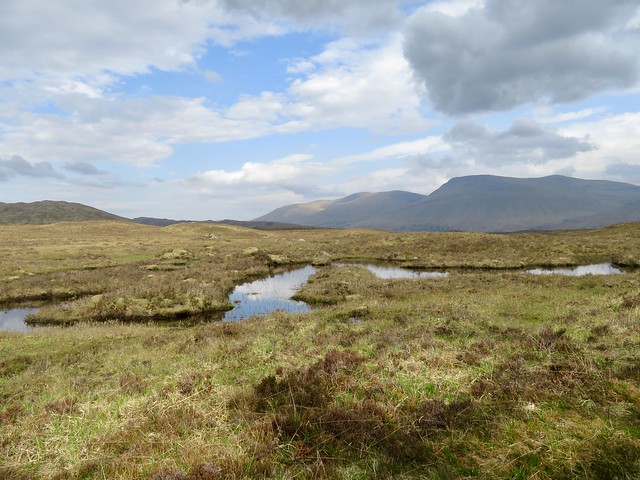
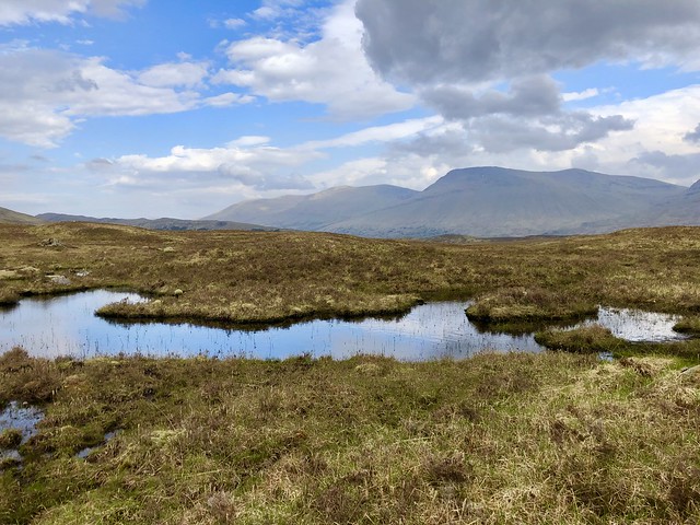
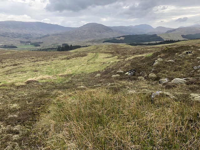
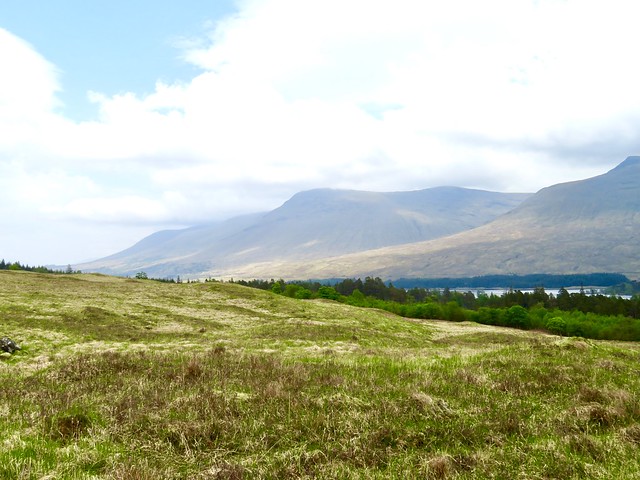
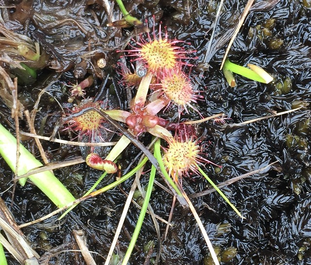
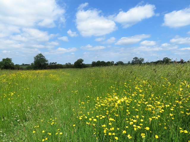
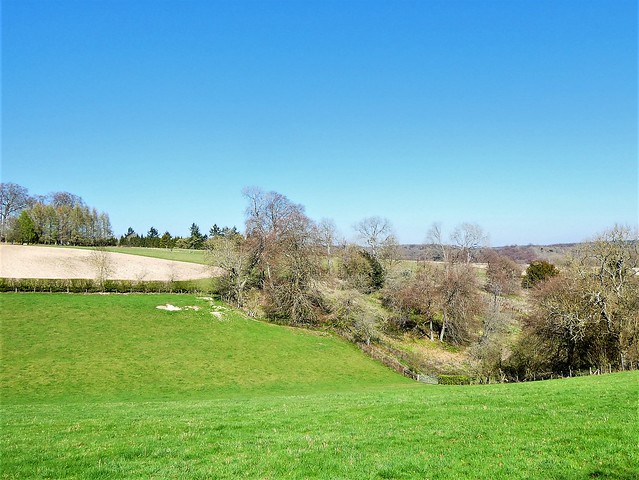
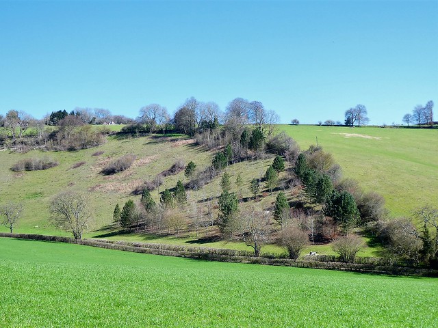
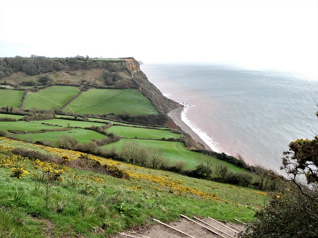
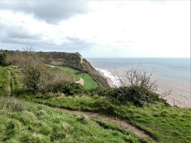
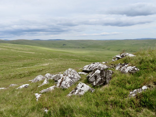
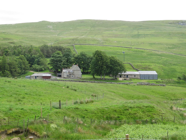
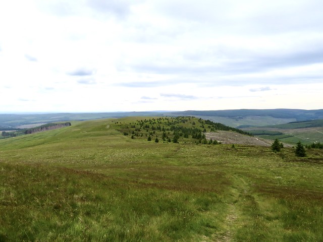
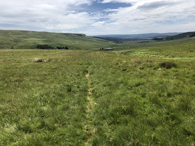
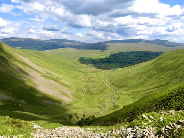
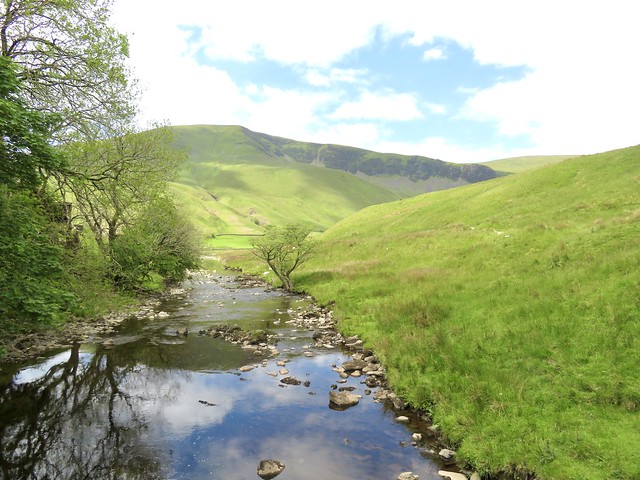
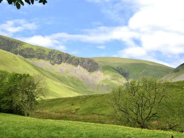
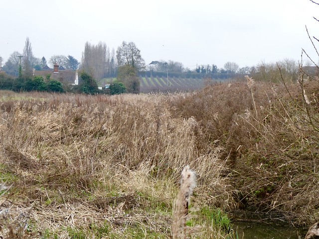
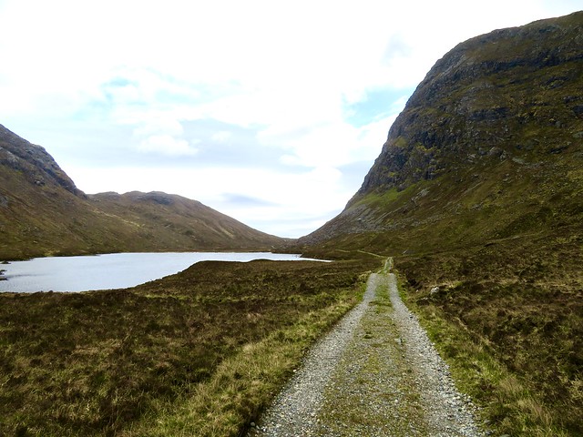
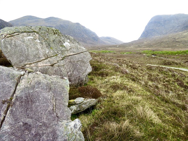
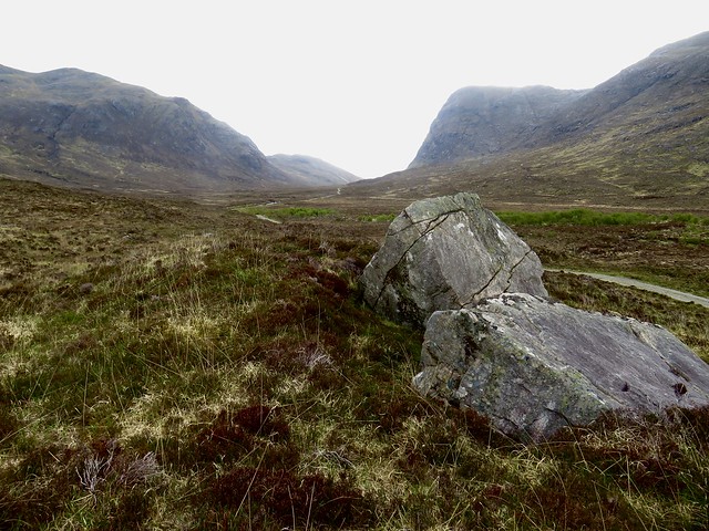
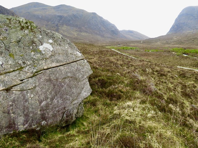
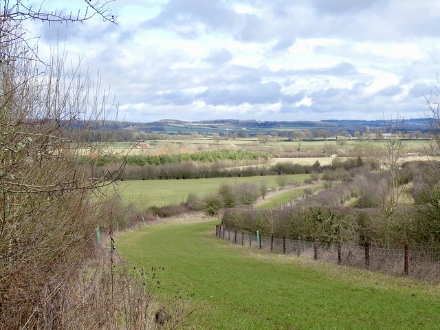
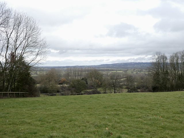
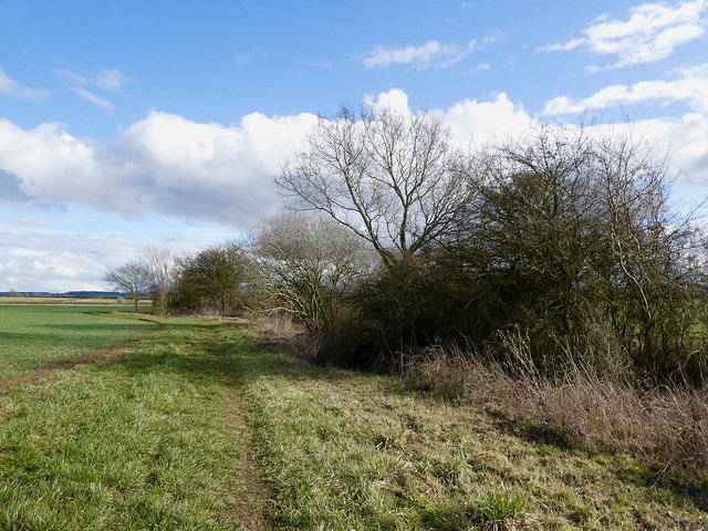
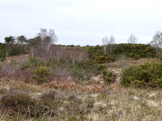
Rannoch Moor, a great expanse of unbroken blanket bog, loch and rough heather plateau, is one of the wildest places in Scotland. Major William Caulfeild supervised the building of the road across the waste in two summers, 1751 and 1752. The English were not exactly welcome hereabouts, and three soldiers had to keep guard against ambush for every squaddie labouring with pick and shovel on the road itself.
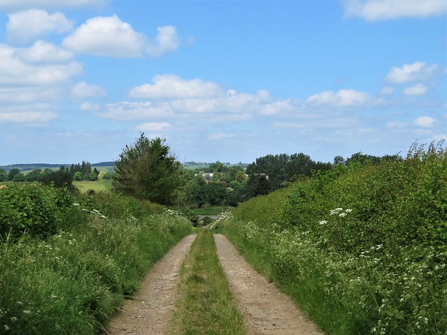
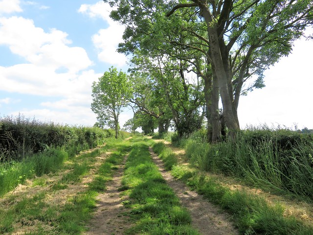
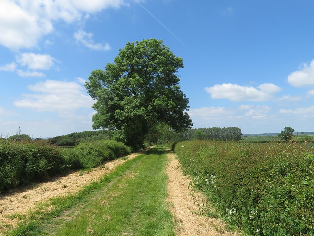
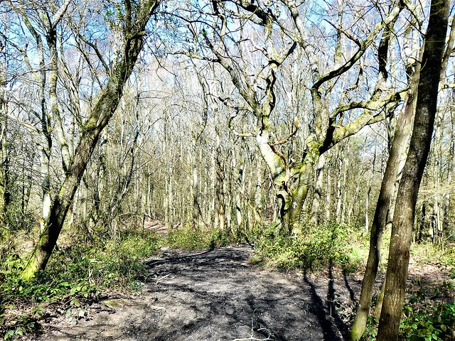
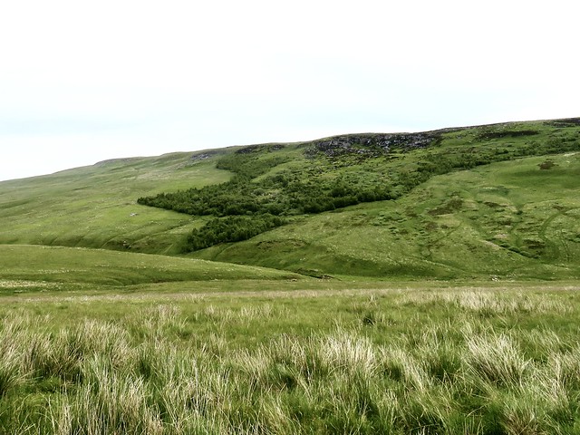
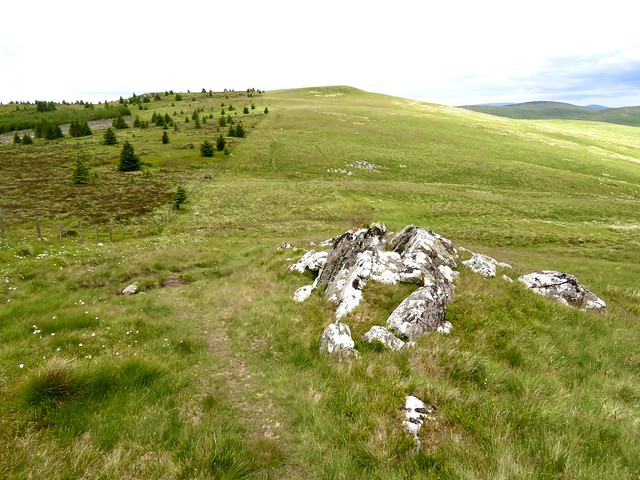
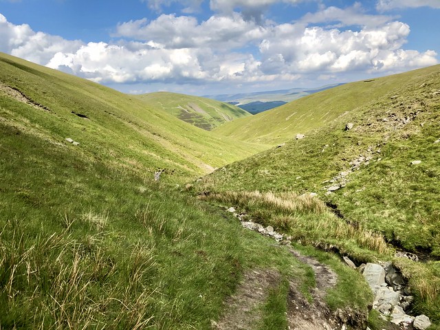
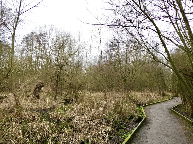
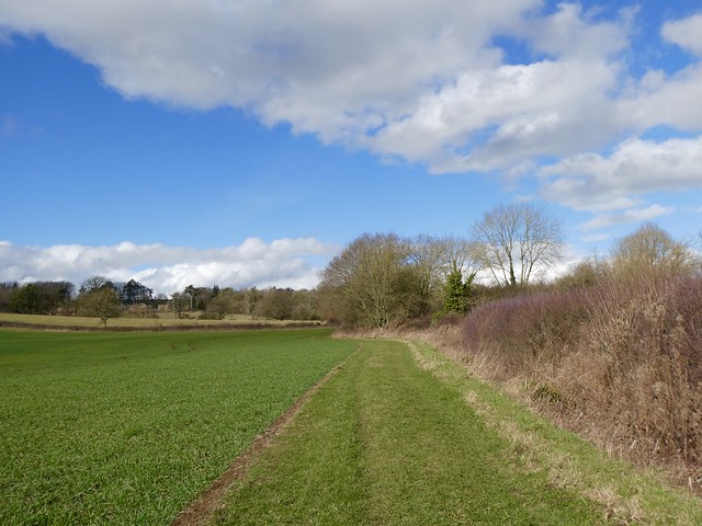
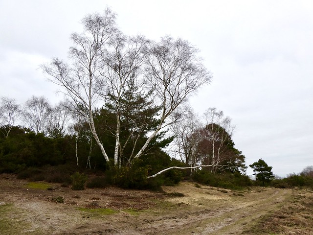
Nowadays Caulfeild’s road has been more or less absorbed back into the moor grass, bog and heather. I had to get my eye in, letting my gaze roam across apparently trackless moor until it snagged on a darker groove in the grass, or caught the faint curve of an embankment.
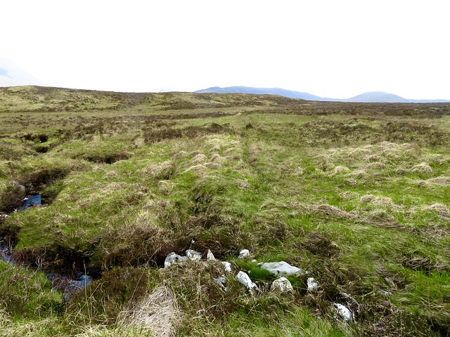
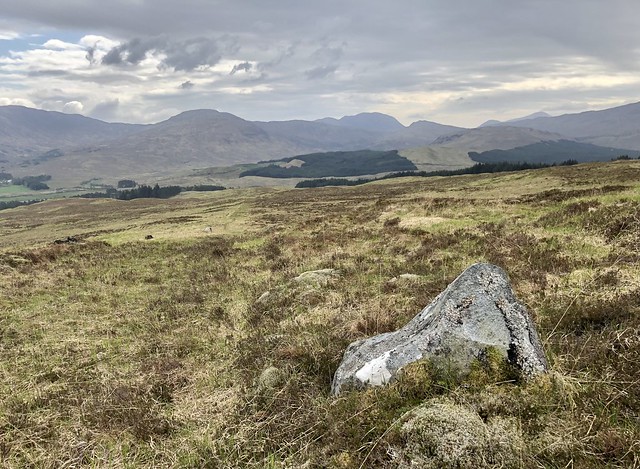
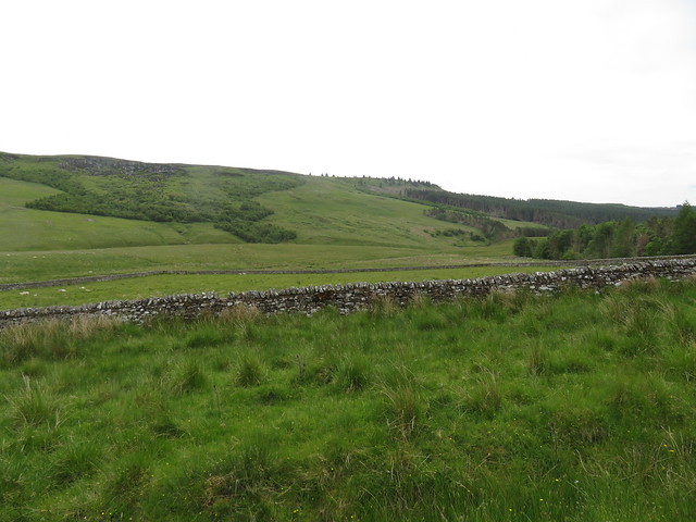
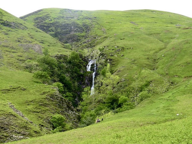
The old military road is a well-engineered ‘wild road’, running in long straight stretches with occasional deviations. The cuttings are supported with stone walling and there are frequent side scoops showing where the soldiers quarried the rocks and pebbles needed for the road.
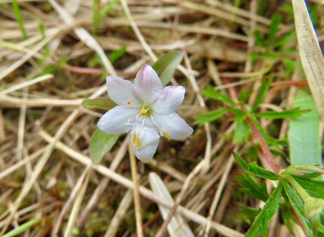
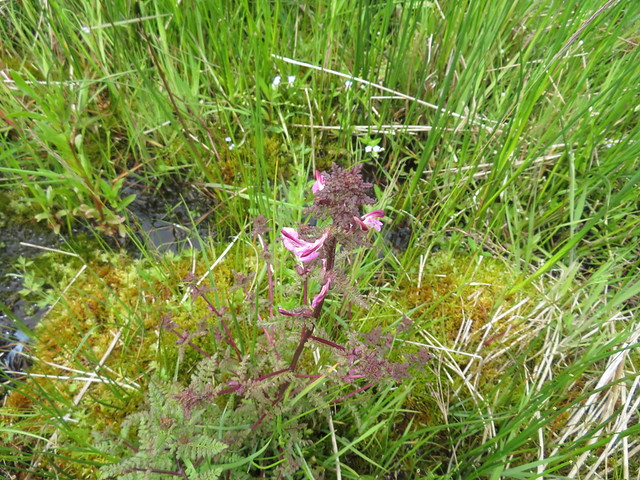
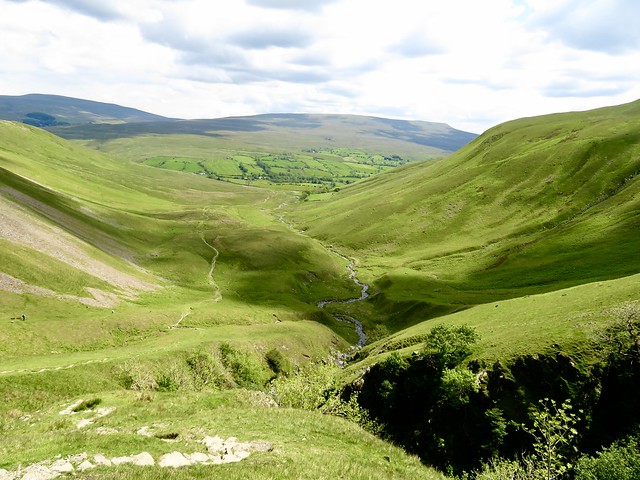
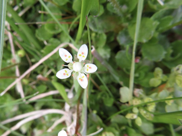
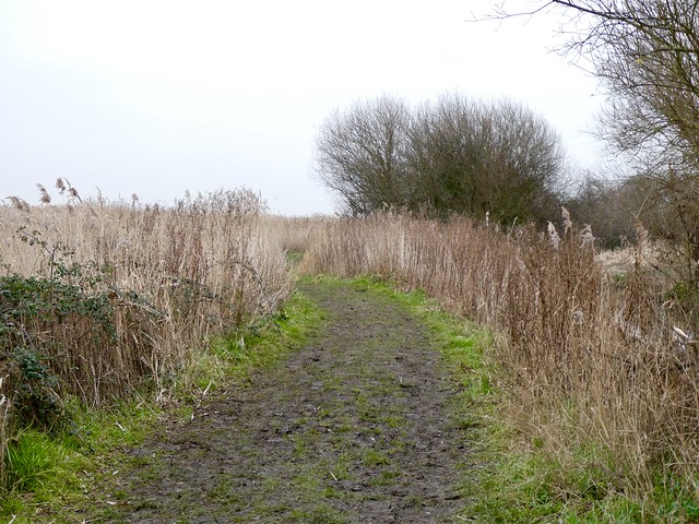
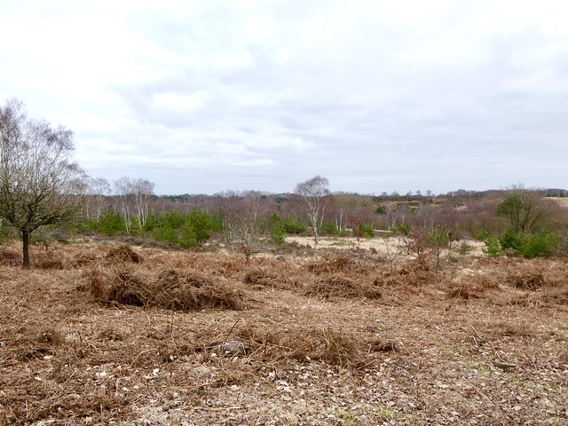
Across the wilderness of the moor I followed the old military road. Direction-finding was helped by a series of sighting stones on successive skylines. Sprays of blotched leaves as slim as penknife blades showed where heath spotted orchids would be blooming come full summer.
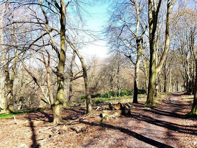
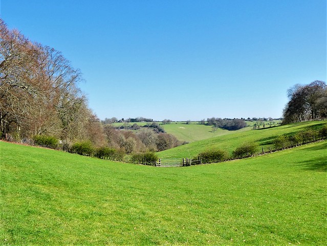
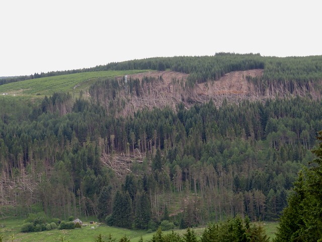
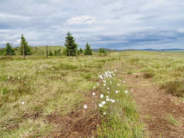
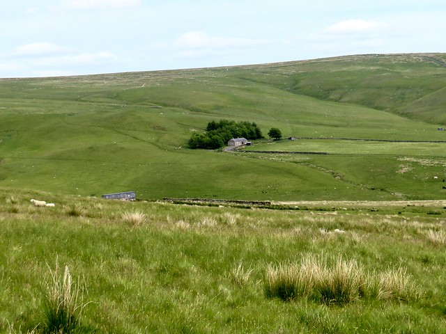
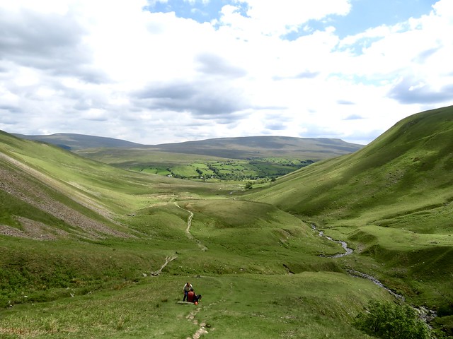
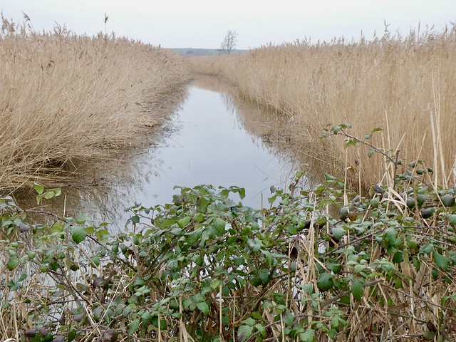
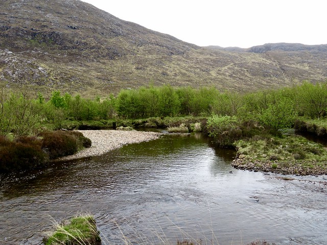
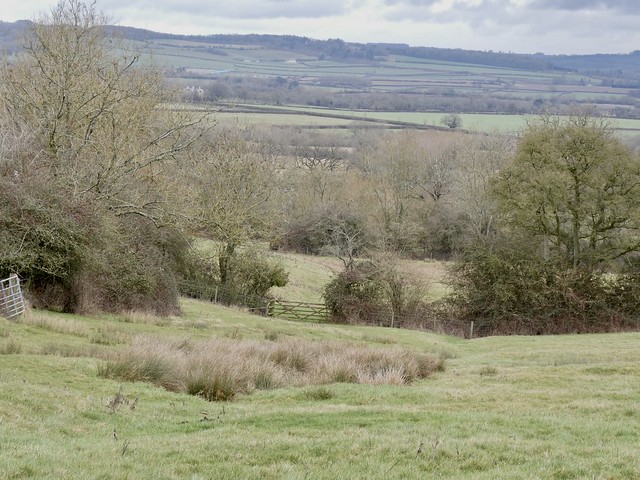
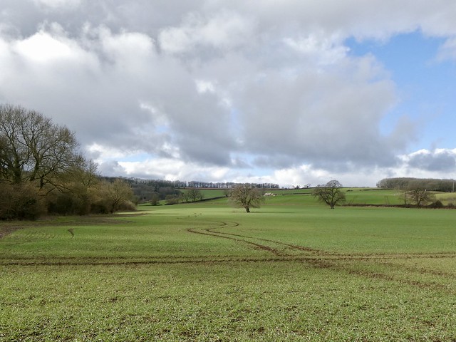
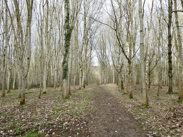
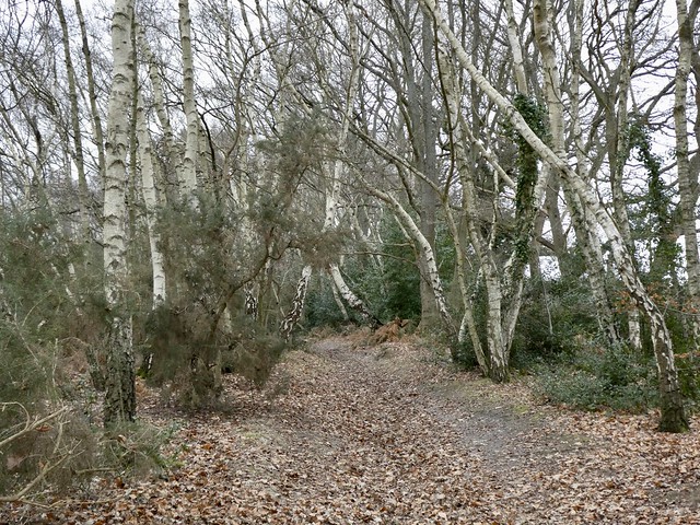
At a block of forestry the character of the old military road changed from an open moorland track to a black peat slutch, both sticky and slippery. But there was better walking in the valley below for the homeward trudge.
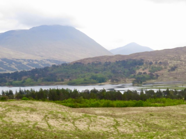
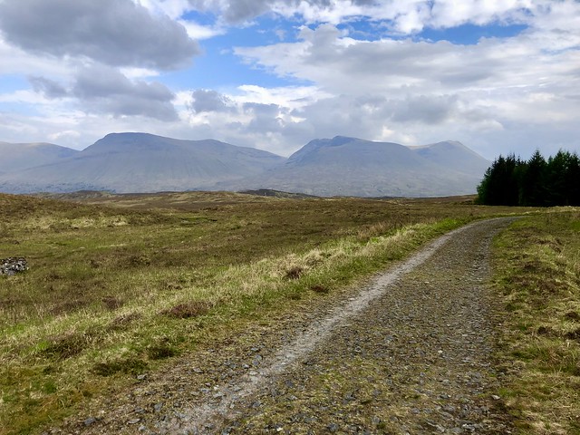
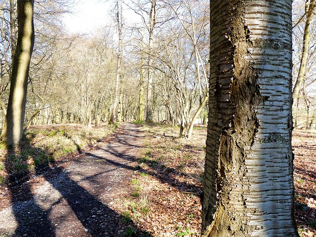
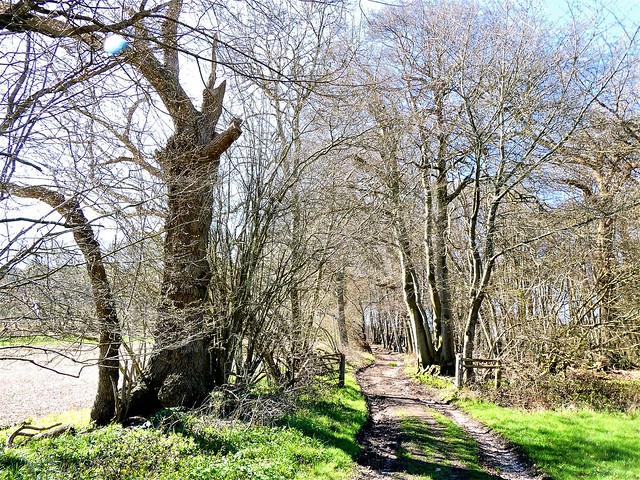
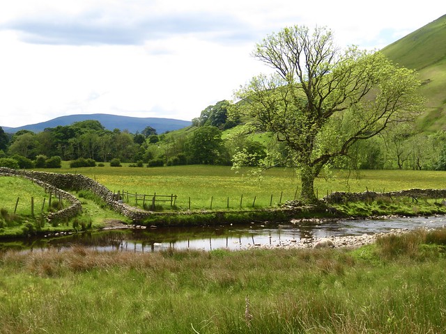
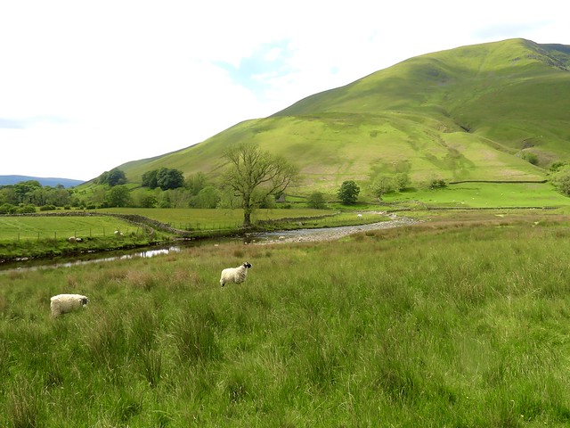
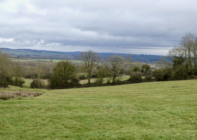
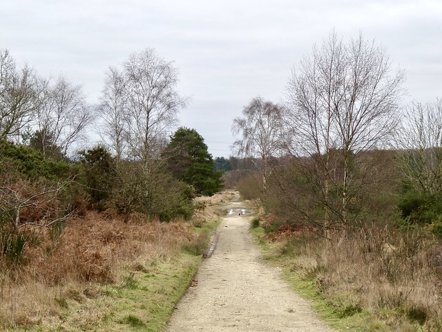
Thomas Telford built a new road across Rannoch Moor, now the route of the West Highland Way, early in the nineteenth century – a proper level road, broad and stone-surfaced, crossing streams and rivers by solid stone bridges. By then William Caulfeild’s old route was already half reabsorbed into the moor. I squelched down to the West Highland Way, bog-hopping and stream-scrambling, and turned for home along its cobbled roadway. Wood anemones along the roadside were shutting their petals for the night, and the mountains to the east stood in soft evening sunshine, their high corries shining.
How hard is it? 6½ miles; easy gradient; moorland path, then cobbled track. NB An adventurous walk in a wild place. Not recommended in mist. Old Military Road/OMR is squelchy underfoot. Also faintly marked in places; use a good GPS or map/compass. Look for occasional, prominent marker stones on skyline.
Start: Victoria Bridge car park, Inveroran Hotel, near Bridge of Orchy PA36 4AU approx. (OS ref NN 271418)
Getting there: Signed off A82 at Bridge of Orchy station.
Walk (OS Explorer 377): Left along road; cross bridge. Just before Forest Lodge, left along drive (272421; ‘Loch Etive by Glen Kinglass’). At end of trees, right along forest edge. In 250m, OMR veers left away from trees (271424), aiming for right-hand slope of Stob a’Choire Odhair. In 600m, when almost level with top of forestry on left, OMR swings right (271430). In ¾ mile, after crossing Easan Dubh, OMR bends right (276442). In 1 mile OMR reaches forestry on right (282456). Follow fence; in 500m it bends right (281461). Follow it across several streams to West Highland Way (283462); right for 3 miles to car park.
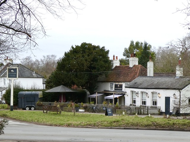
Lunch/Accommodation: Inveroran Hotel, Bridge of Orchy PA36 4AQ (01838-400250, inveroran.com)


;)
;)
;)
;)
;)
;)
;)
;)
;)
;)