First published in: The Times Click here to view a map for this walk in a new window

The friendly and hospitable Forest View inn at Byrness lies in a wild corner of the Cheviot Hills. From the forestry hamlet I followed the Pennine Way up through the trees, and soon turned off on a forest byway that dipped to the lonely valley of Cottonshope.
;)
By the road I found a red flag fluttering and a notice warning of live firing on the adjacent Otterburn Ranges. But a call to Range Control elicited a courteous ‘That’ll be ok today, they won’t be over your way at all.’ A rattle of machine gun fire and the pop of a rifle sounded occasionally from some far-off valley, interspersed every now and then with artillery fire much further away, a curiously feeble and hollow sound, like a giant punching an empty biscuit tin.
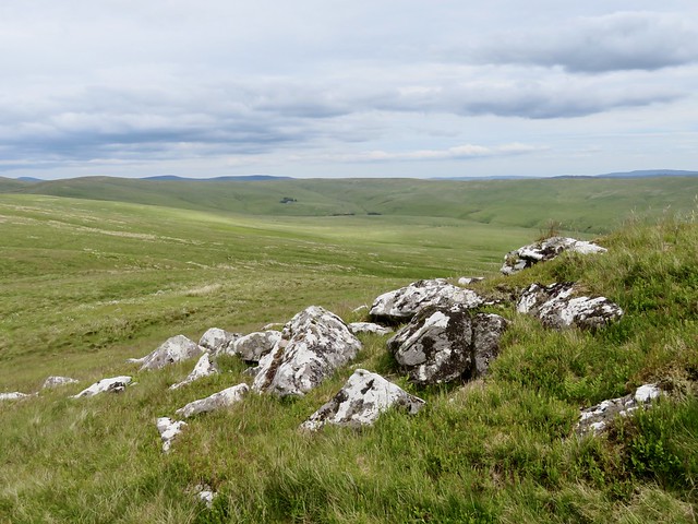
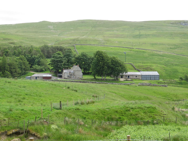
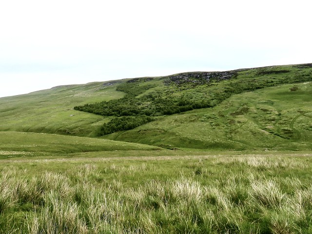
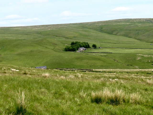
I walked up the road to the lonely farm of Cottonshope, where a faint path climbed through rough grass pastures, swerving in and out of the boundary of Otterburn Ranges, up to meet the Pennine Way on Raven’s Knowe.
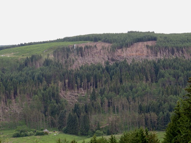
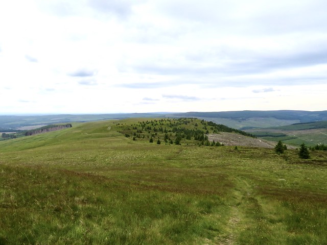
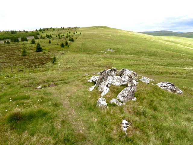
What a splendid view from the cairn up here. To the northeast the rounded bulk of Cheviot lifting gently to the cloudy sky, the flanks rolling and tumbling down to where I stood. South and west, lower ground with hills and forests running to the Scottish border. To the east, the barely perceptible path up which I’d come falling away into the Cottonshope Valley. South from Raven’s Knowe it was all forest, great swathes of the coniferous cladding that has adhered to the Redesdale hills since the area was planted between the world wars of the last century.
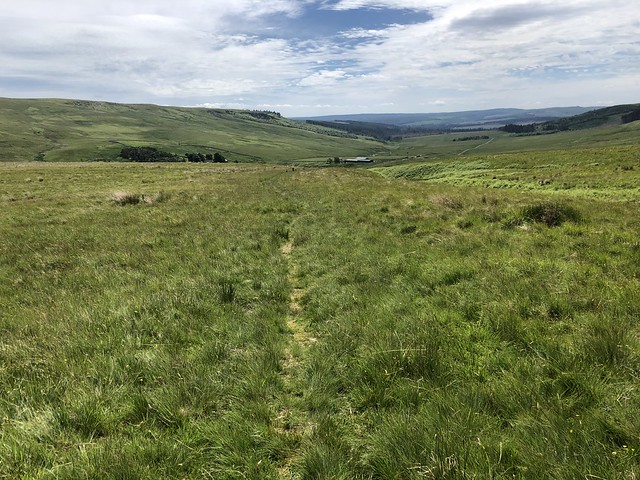
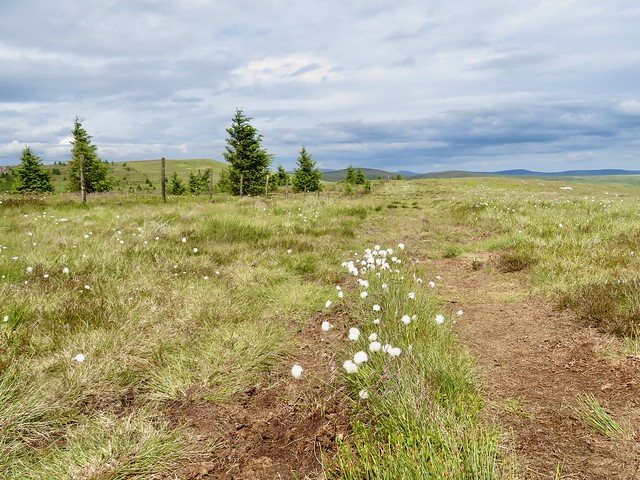
I turned for home along the boardwalks and squelchy corners of the Pennine Way, accompanied by a flittering meadow pipit. Catcleugh Reservoir came into view, a wedge of steely water among the trees. The Pennine Way descended among tuffets of bilberry and sphagnum, before suddenly slanting precipitously down a staircase of rocks.
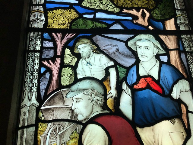
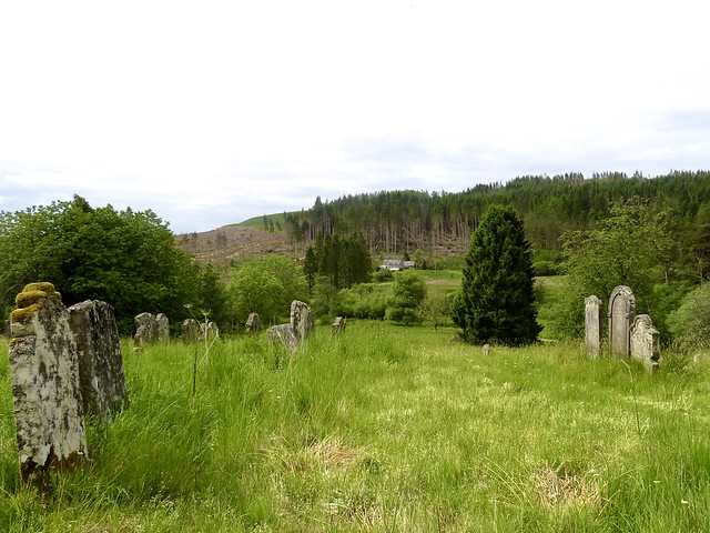
Down in Byrness the little Church of St Francis held a stained glass window in memory of those who died constructing Catcleugh Reservoir late in the 19th century. It depicted men labouring with pick, shovel and wheelbarrow, with a little girl seated at their feet. In the background a dark, ominous train bears down on them. A very poignant and touching memorial.
How hard is it? 7½ miles; moderate/strenuous; forest and moorland tracks on well-marked Pennine Way.
NB Between Cottonshope and Raven’s Knowe, path veers in and out of Otterburn Ranges boundary. Ranges may be closed if live firing; ring Range Control (01830-520569) before setting out.
Start: Otterburn Green, Byrness NE19 1TS (OS ref NT 764027)
Getting there: Bus 131 (Newcastle-Jedburgh), once a day – nexus.org.uk
Road – Byrness is on A68 Between Otterburn and Jedburgh.
Walk (OS Explorer OL16): From Forest View, right along Otterburn Green; past village hall and on. At A68, by church, left along cycleway (771023, ‘Pennine Way’/PW). In 50m cross A68 (take care!); left up path. In 100m, go through hedge (PW); on through gate into trees (769026); continue up PW. In ⅓ mile, at 3rd major crossing track, right off PW (773030). In ¾ mile, left along Cottonshope Road in valley bottom (773030). In 1½ miles, just past farm sheds, left up track beside range flagpole and notice (789049). Follow clearly seen route for 1¼ miles over moorland to cairn on Raven’s Knowe (781061). Left along Pennine Way for 2¾ miles back to A68; retrace steps to Byrness.
Lunch/Accommodation: Forest View Walkers Inn, Byrness NE19 1TS (07928-376677, fortestviewbyrness.co.uk) – open 12 April–8 October 2023
Info: Otterburn Ranges Range Control access info: 01830-520569;
gov.uk/government/publications/otterburn-firing-times