First published in: The Times Click here to view a map for this walk in a new window
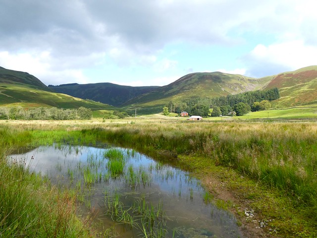
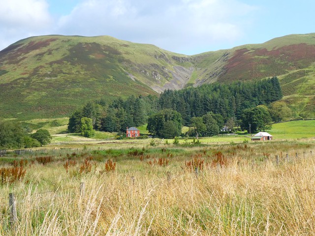

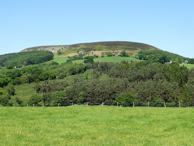
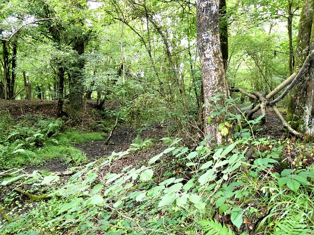
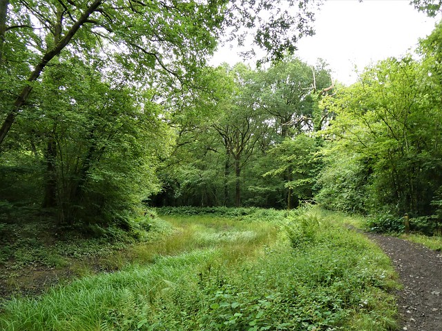
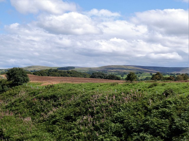
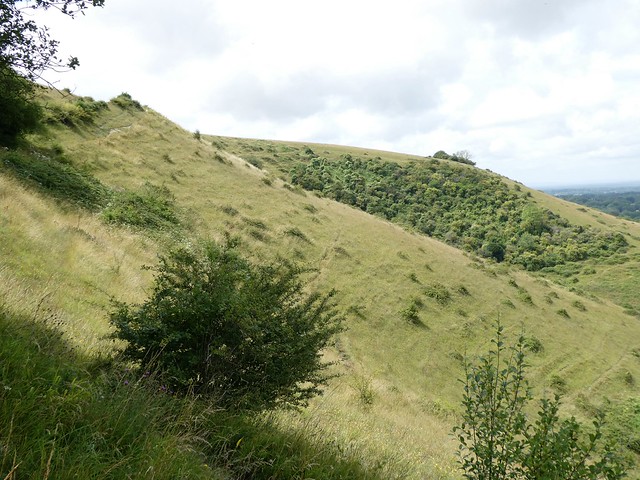
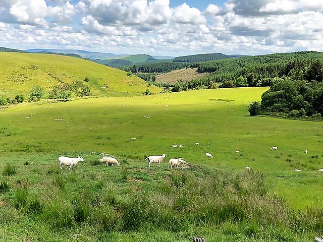
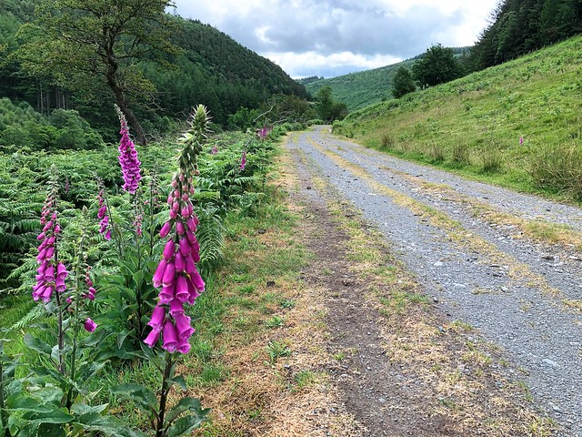
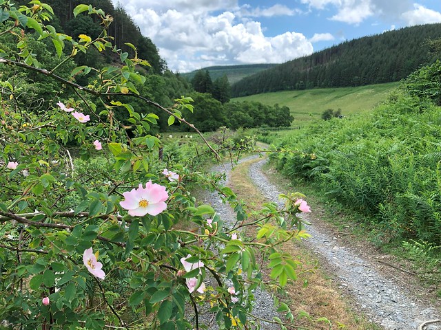
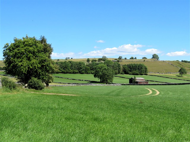
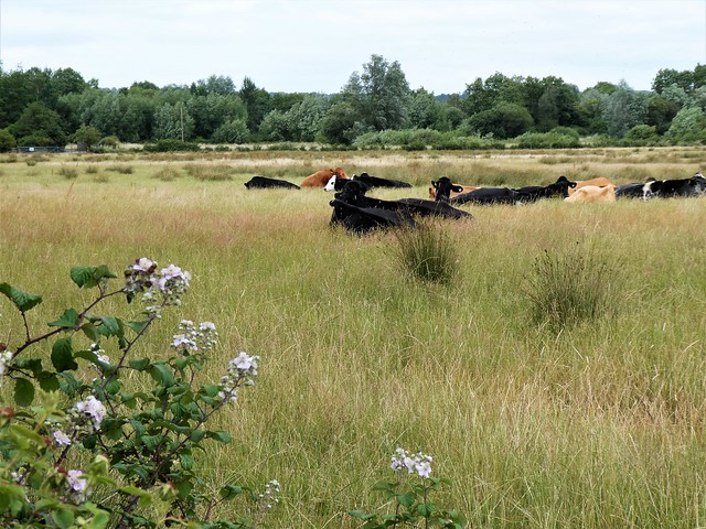
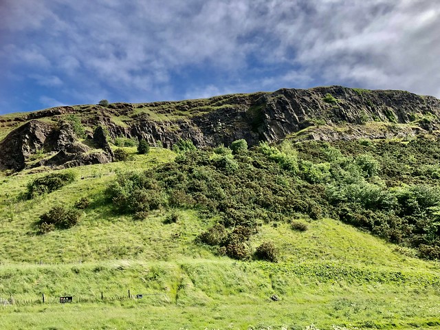
From the car park at the end of the bumpy farm road from Moffat, a group of young volunteers from the Borders Forest Trust were setting out with spades and crowbars to plant trees on the slopes above Corehead. Young rowans, alders and silver birch are already flourishing on these steep lumpy hills, part of a drive to regenerate the native forest that once flourished here. The blackface sheep have already been banned from the slopes, so the saplings can grow ungrazed.
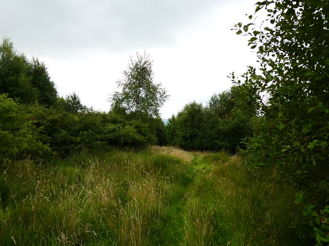
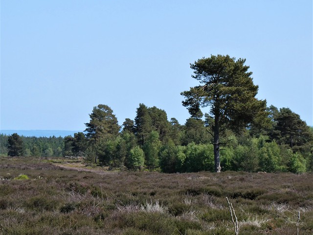
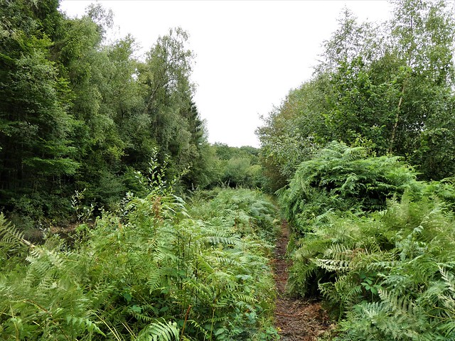
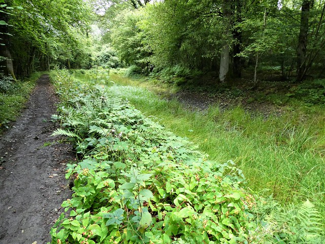
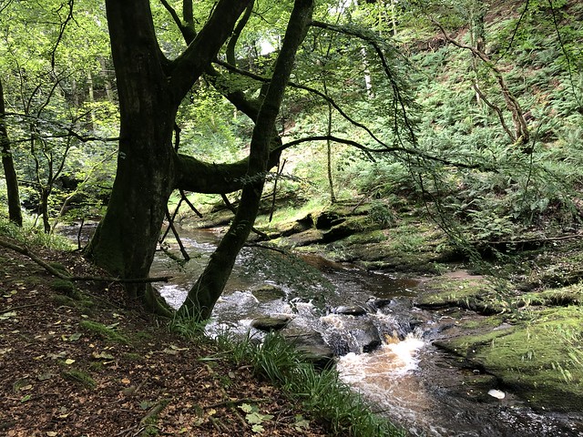
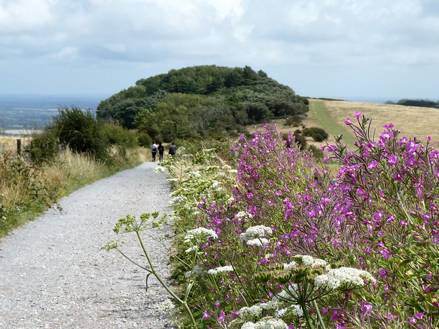
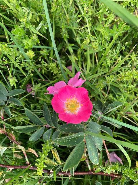
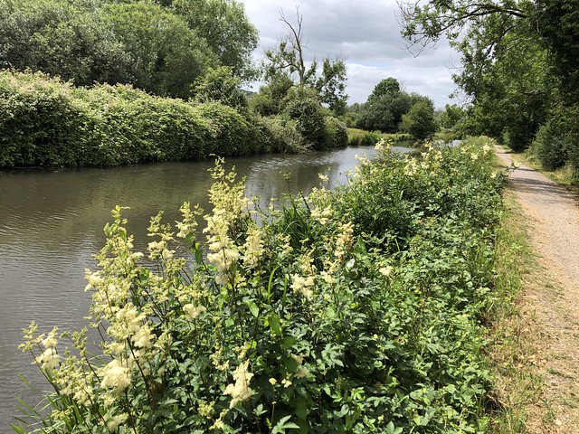
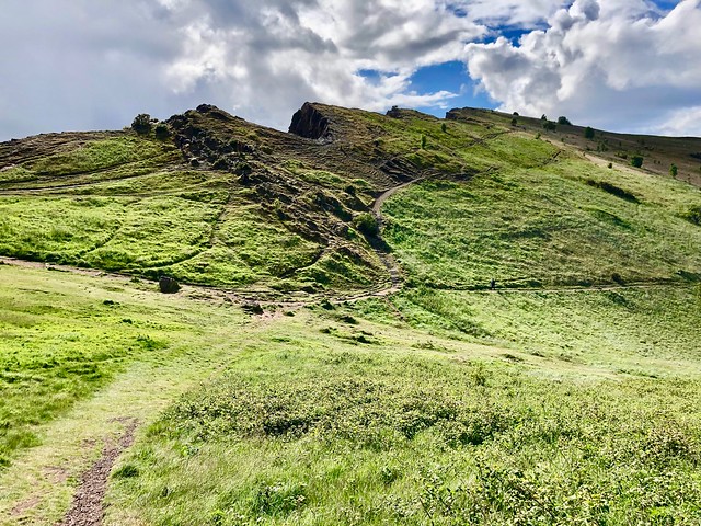
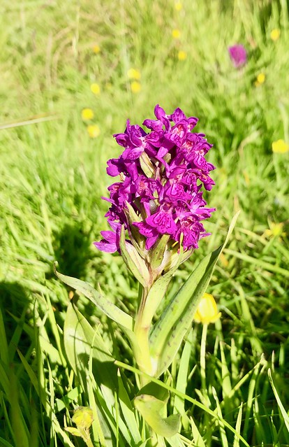
It was a long, steady climb through bracken and heather, then among the young trees along the Tweedhope Burn. Rowan berries glowed a deep burnt orange, and the indigo berries on recently planted juniper bushes gave a spicy tang of gin when crushed and sniffed.
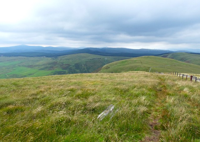
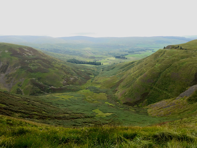
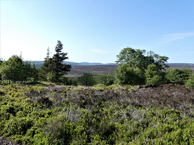
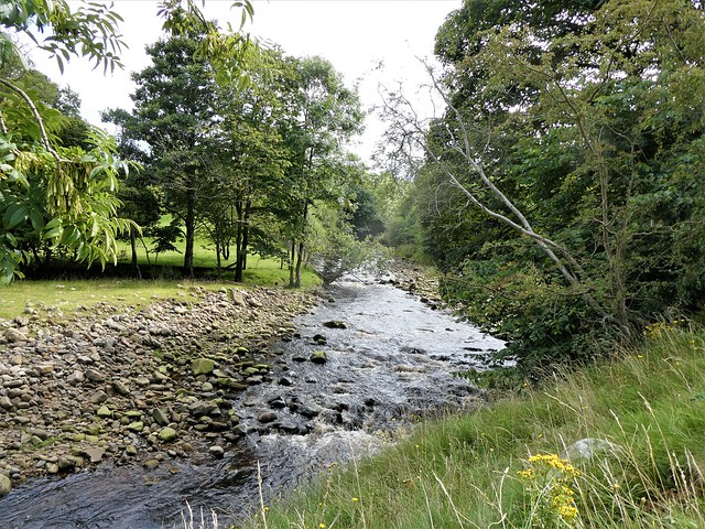
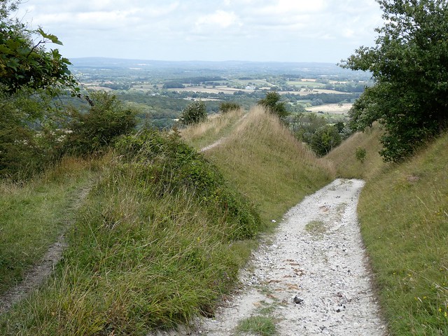
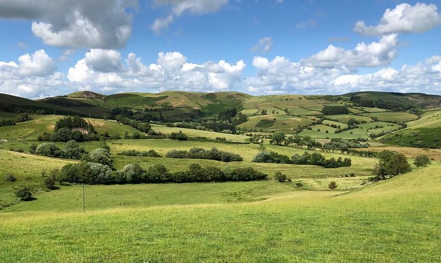
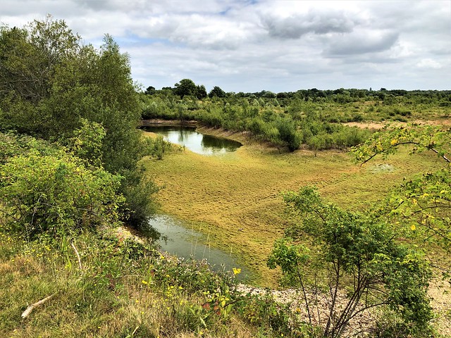
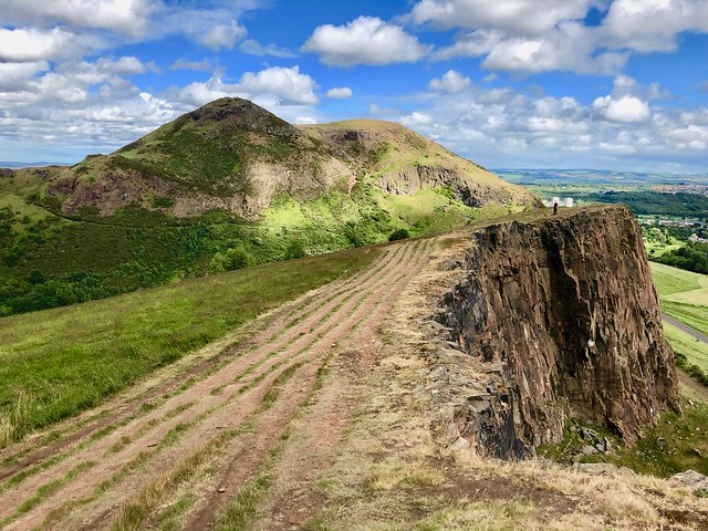
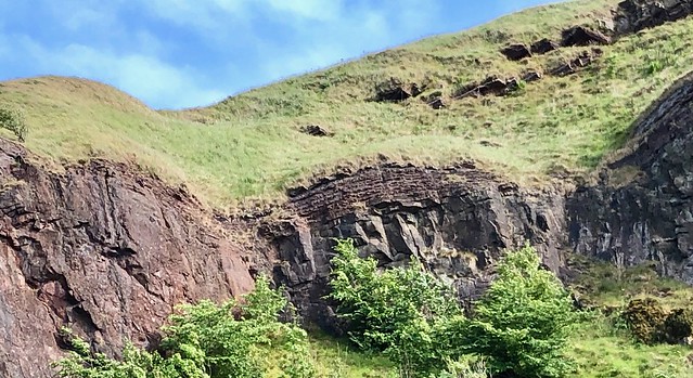
Near at the top we heard the chink-chink of a hammer and glimpsed the youngsters hard at work on a new plantation. At the watershed, soggy and boggy, a neat elliptical cairn stood at the turning point of the Annandale Way, a rollercoaster path along the backs of Chalk Rig Edge, Great Hill and Annanhead Hill. Here we perched on a handily placed bench, looking down into the plum-coloured shadows of the Devil’s Beef Tub, source of the River Annan.
A stranger to the area three hundred years ago would never have happened upon this remote, tight and formidably steep-sided hollow, some five hundred feet deep, nearly sheer from rim to bottom. Here the cattle-raiding Johnstone family would graze the beasts they had stolen, confident that no-one would ever find them.
The secluded hideaway was also a refuge for the 17th-century religious dissenters known as Covenanters. One of them, John Hunter, was chased up the slopes by dragoons in August 1686 and shot like a dog when caught. In 1745 a Jacobite prisoner managed to get free from his captors while crossing the rim of the Devil’s Beef Tub, and escaped by rolling like a barrel down the plunging braeside while wrapped in his plaid.
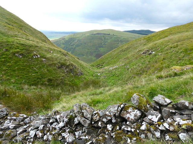
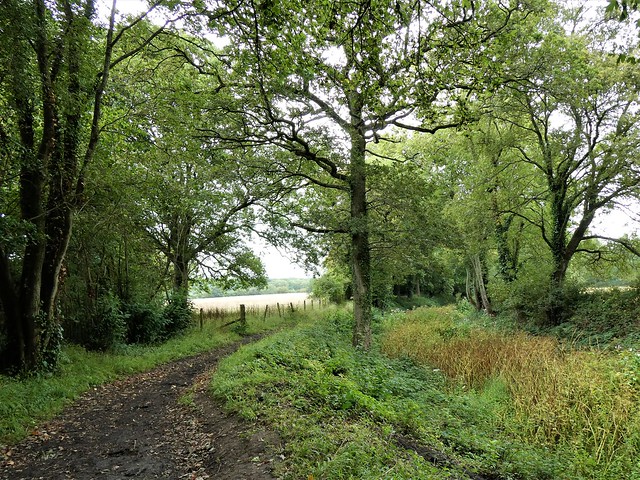
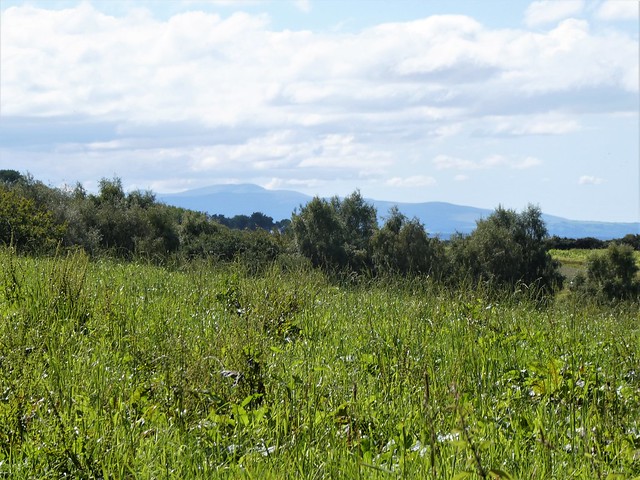
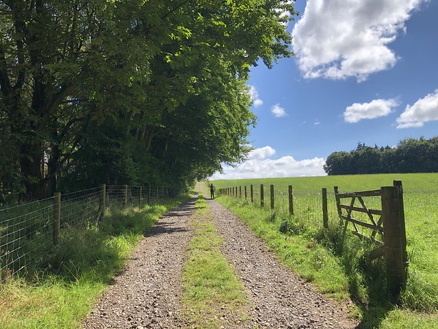
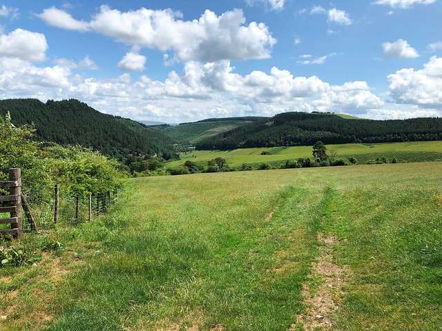
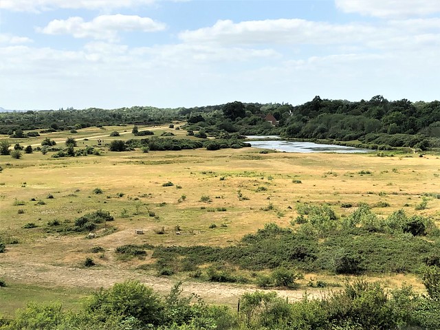
We descended from Annanhead Hill and crossed the rushy bump of Ericstane Hill. Following the homeward path in bright evening sunshine, we looked back toward the darkly shadowed Devil’s Beef Tub, picturing the tumbling Jacobite – and, a more contemporary story from 2002, the woman who swerved her van off the road and all the way down into the hollow to crash land at the bottom. She survived, with a broken arm; the van still lies where it fell, wheels in the air, landmark and legend in one.
How hard is it? 7½ miles; strenuous moorland walk, boggy in places.
Start: Car parking space (OS ref NT 073117) on farm road between Ericstane (077116) and Corehead (073124).
Getting there: North through Moffat on A701; fork right along Beechgrove, then follow Old Edinburgh Road (‘No Through Road’). In 3½ miles at Ericstane, left across river (073109). Rough farm road towards Corehead; in ⅔ mile, car parking space on right (072118) by Borders Forest Trust sign.
Walk (OS Explorer 330): Bear right along grassy track. Follow Annandale Way (AW waymarks) for 1⅔ miles, gaining height beside Tweedhope Burn to reach cairn at watershed (084138). AW turns left with fence; follow it over hills for 2 miles to descend to A701 (056127). Left; in 400m, right (059124, AW) across Ericstane Hill to cross A701 (061115). Follow field track; in ½ mile on right bend, left off AW through gateway (065110). Follow track down to Ericstane (072109); left to car.
Lunch: Hugo’s Restaurant, 4 Bath Place, Moffat DG10 9HJ (01683-221606, hugosmoffat.uk)
Accommodation: Annandale Arms Hotel, High Street, Moffat DG10 9HF (01683-220013, annandalearmshotel.co.uk)
Info: bordersforesttrust.org


;)
;)
;)
;)
;)
;)
;)
;)
;)
;)