First published in: The Times Click here to view a map for this walk in a new window


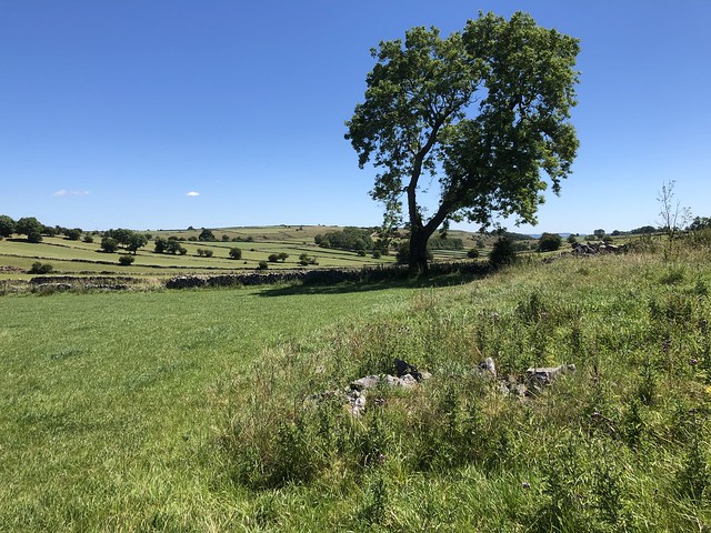


I don’t walk with my geologist godson Andy Harrison as often as I’d like, but when I do it’s like opening a window onto a hidden but wonderful world. On this hot summer’s day in the White Peak it was all about limestone, that pale rock that accrued infinitely slowly as sediment in the warm tropical sea that covered this region some 350 million years ago.
;)
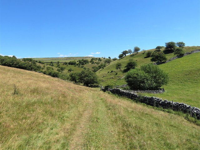
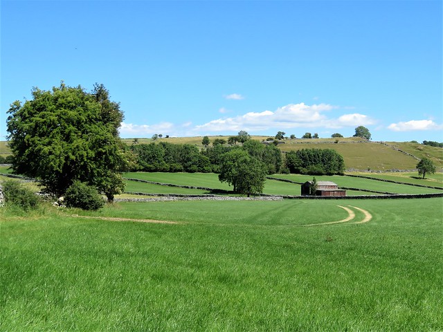
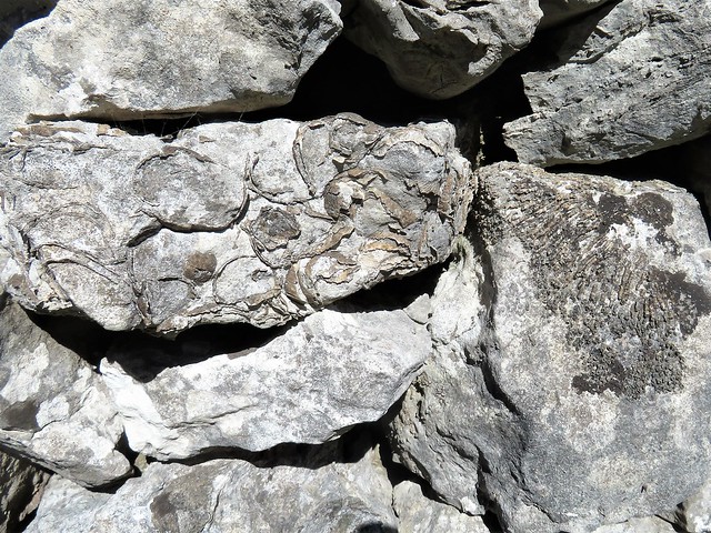
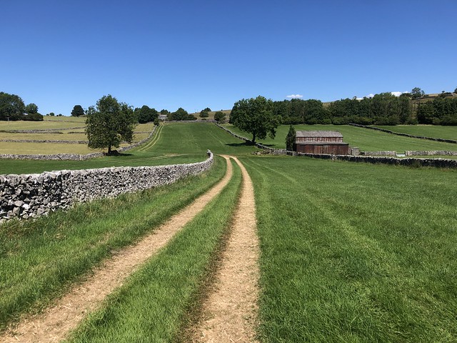
A lung-busting flight of steps lifted us through the trees and out of Millers Dale into an upland of cattle grazing and stone walls. ‘Look at that,’ Andy said, pointing to the wall of Lydgate farmhouse. The edges of fossil shells stood slightly proud of the stone like dark straggles of string. ‘That’s a productid, a creature with a hinged shell that lived buried in the seabed mud and let its feeding tendrils trail out to grab any food that passed.’ I ran my fingers across the shell and tried to imagine the immensities of time and circumstance between that form of life and my own.
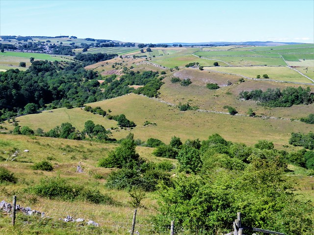
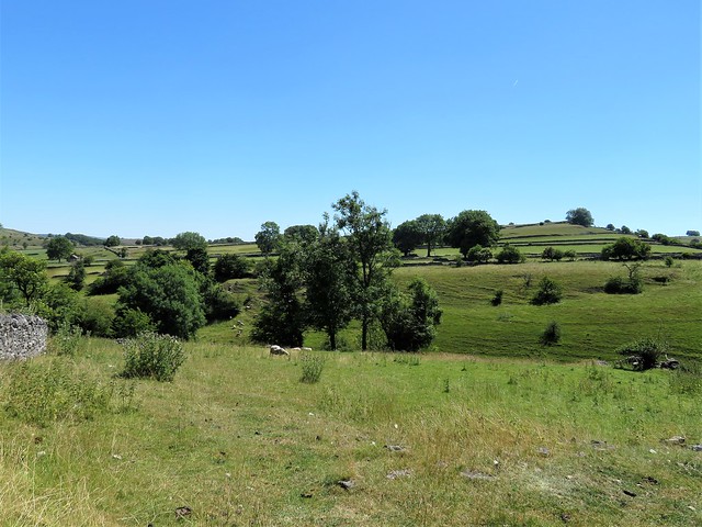
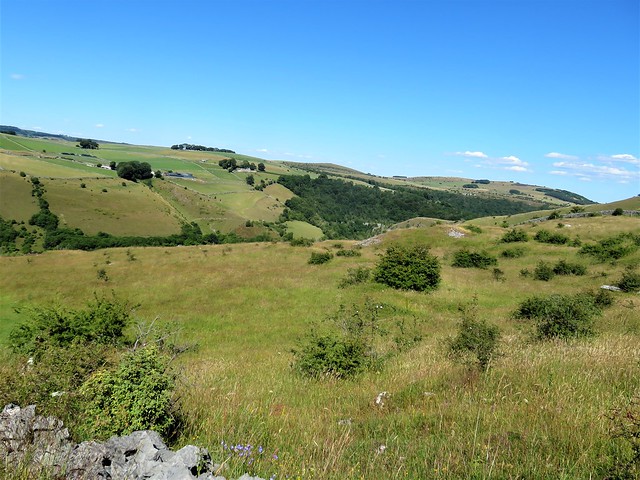
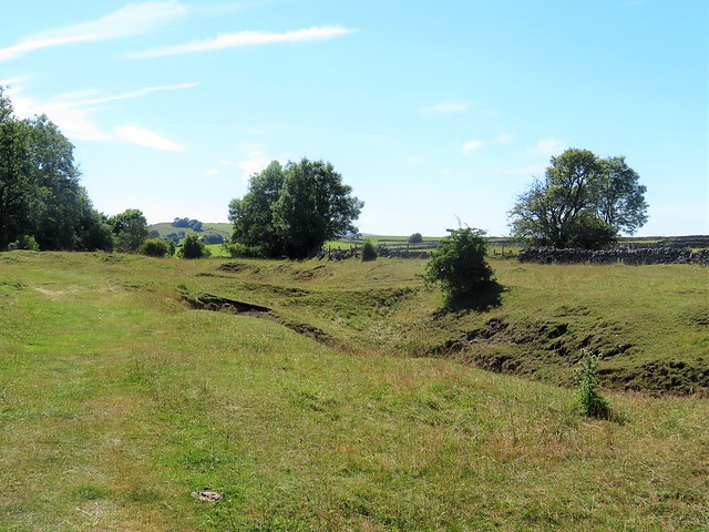
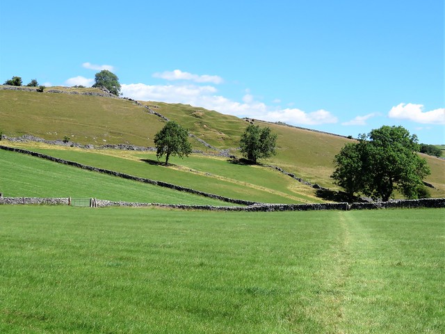
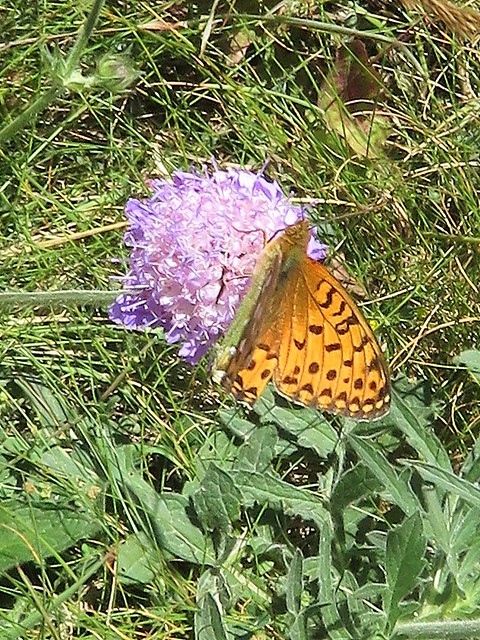
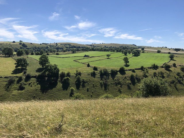
We crossed the walled fields to walk between the grassy jaws of High Dale, a little narrow valley between high folds of ground. Hawkbit, lady’s bedstraw and kidney vetch grew in profusion, and a butterfly hatch of small blues made the most of the sunny afternoon. What formed this deep cleft, Andy? ‘A stream underground excavated a cave in the porous limestone, digging away till the roof collapsed into the bottom.’
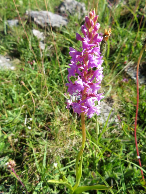
There were fan-shaped corals and masses of curved productid shells in the field walls of High Dale. Up beyond among the old lead mine workings of Priestcliffe Lees we found a songthrush searching for snails in a rock garden of fragrant orchids exuding scents of pepper and cloves.
A steep path led down to the old railway path in the shadows of Millers Dale. On a cutting wall I put my hand on an enormous dark stain splashing the red and white limestone. Andy traced its outline. ‘That’s what happens when giant land masses collide and the seabed gets ripped apart. Superheated magma came gushing out into the cold water and cooled instantly into this tongue of volcanic rock. It happened maybe 350 million years ago, and it’s still here.’
What a remarkable thought to carry away from this really magical walk.
How hard is it? 5 miles; moderate, with one steep climb on steps; field paths, old railway path
Start: Millers Dale car park, Wormhill, Buxton SK17 8SN (OS ref SK 138732)
Getting there: Bus 65 from Tideswell
Road: Millers Dale car park is on B6049, signed from A6 (Buxton-Taddington). NB At weekends, get there early – very popular!
Walk (OS Explorer 149): From car park entrance, right under railway bridge. Right on B6049; in 50m, left up path (137731, fingerpost); in 100m, right up steep steps to gate at top (138728). Across fields; walled lane (139726) to Lydgate Farm (140721). Left (‘Brushfield); in 40m, fork right by cottage (gate). At T-junction left (142721); in 100m, right (wall stile, yellow arrow/YA) across fields and through High Dale. In 1 mile at southeast end of dale, through gate (156715); fork left uphill on road. At Brushfield follow ‘Priestcliffe’ and ‘Millers Dale’. Follow stony lane for ¾ mile to T-junction (152724); right (‘Priestcliffe Lees Nature Reserve’, YA). Across field; bear left down steep path into Millers Dale. Left along Monsal Trail (158729). In 1 mile, just before viaduct, fingerpost (142732, ‘Lime kilns’) points to lime kilns. Return to Monsal Trail; left across viaduct to car park.
Lunch/Accommodation: Anglers Rest, Millers Dale SK17 8SN (01298-871323, anglersrestmillersdale.co.uk)
Info: visitpeakdistrict.com
Walking the Bones of Britain – A 3 Billion Year Journey from Outer Hebrides to Thames Estuary by Christopher Somerville (£25, Doubleday) is out on 24 August