First published in: The Times Click here to view a map for this walk in a new window


Facebook Link:

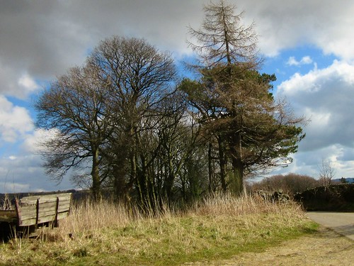
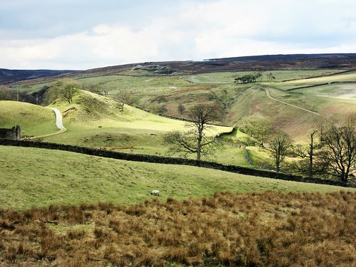
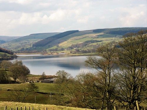
Business-like bunches of walkers were assembling in Pateley Bridge car park in a clatter of boots and sticks. Nidderdale is a favourite spot for walkers in North Yorkshire, and everyone wants to grab hold of a day like this, with enormous white clouds slowly drifting in a blue sky across the dale. We lost sight of everyone as soon as we’d left the little market town. This sort of steep, rolling country has a mysterious way of swallowing its walkers, and true to form we scarcely saw another soul all day.
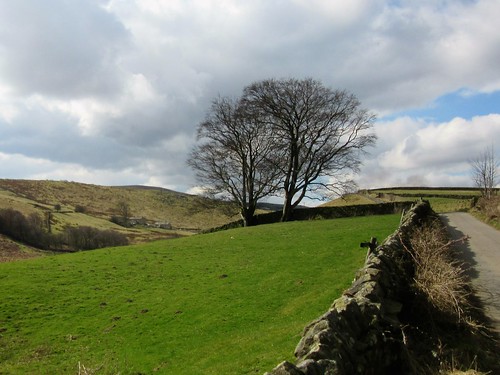
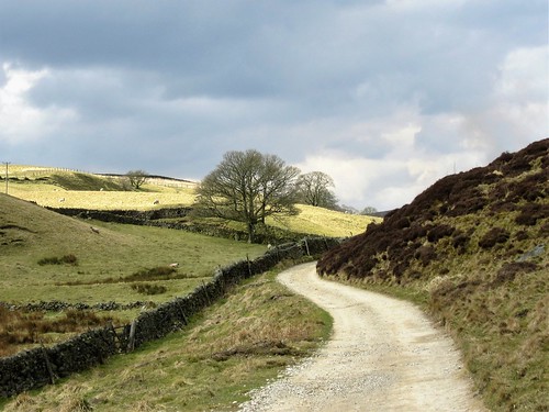
The spring wind came down from the moors, full of the baby cries of new-born lambs and cold enough to prickle the nose. We followed the waymarked Nidderdale Way west along a narrow farm road between carefully maintained stone walls that sparkled with minute, intense winks of sunlight. Farms lay along the higher contours of the green inbye land. The steep fields were striped with walls that wriggled like snakes up the undulations of the daleside and vanished over the top into sombre-coloured moorland, where heather-burning operations were sending up slowly curling towers of oily-coloured smoke.
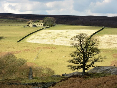
We sat to eat our snack on a fallen stone lintel opposite the bankside cottage of Throstle Nest. A gang of ewes still heavy with unborn lambs came up bleating for crisps. They soon settled to cropping the grass with short, decisive jerks of their greenish teeth – gentle company, and a peaceful sound to picnic by.
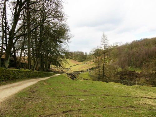
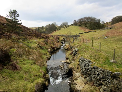
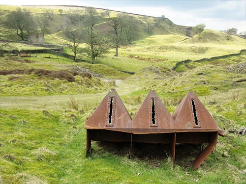
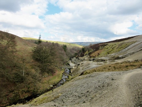
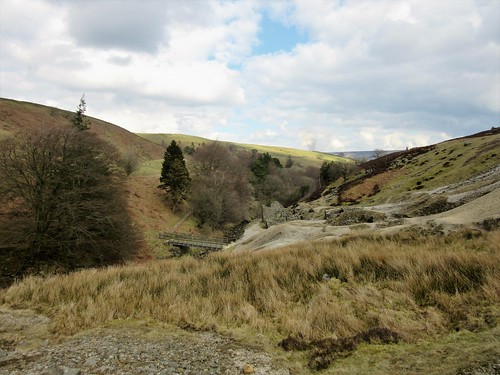
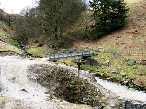
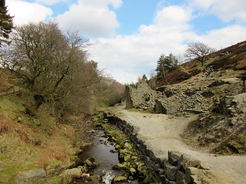
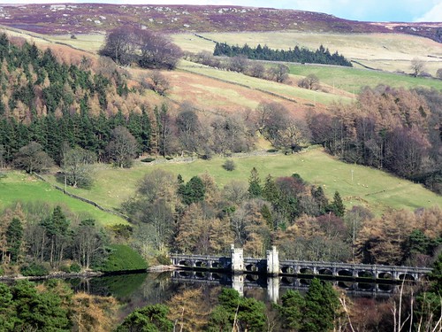
We followed the lane down to Ashfold Side Beck through a tremendous slump of old lead mine workings. Below the ashen tips a cluster of tumbledown buildings and a great rusty cogwheel and shaft showed where 19th-century miners had processed the precious and poisonous ore. Cornishmen, Irishmen, Scots and Welsh all laboured here for the Prosperous and Providence Lead Mining Company, working the Wonderful and Perseverance Levels – names that say everything about the triumph of hope over experience.
Back along the beck and up over the fields to Stripe Head Farm, where the farmer in cap and gumboots was helping a ewe newly delivered of twins. ‘I’m out at eleven at night to check on them this time of year,’ he said, ‘and out at 5.30 am, too.’ The newborn lambs staggered about and cried until they found what they were looking for under their mother’s shaggy pelmet of wool stained dark by the winter. Then you couldn’t hear a sound out of them.
Start: Showground car park, Pateley Bridge HG3 5HW (OS ref SE 157654)
Getting there: Bus – 24 from Harrogate
Road – Pateley Bridge is on B6265 between Grassington and Ripon.
Walk (7 miles, easy/moderate, OS Explorer 298): From car park, left along B6265. Pass turning to Ramsgill; in 50m, right (fingerpost, yellow arrow) up laneway to road (155654). Dogleg right/left (‘Ladies Rigg’), and follow path through fields past Eagle Hall, following left-hand hedge/fence to meet Nidderdale Way/NiW at corner of wood (147655). Turn right along road, following NiW.
In 1 mile, fork right at Hillend along lower lane (131653, ‘Ashfold Side, Cockhill’; NiW). In 700m cross Brandstone Dub Bridge (124655); follow stony lane to left. In ½ mile follow path down through ruin of Providence Lead Mine workings to cross Ashfold Side Beck (119611). Follow NiW downstream for 1¼ miles. Beyond Low Wood, left off lane (138664, NiW, ‘Heathfield’). Up field edge, through Spring House farmyard (138665); half right across next field to gate; on along track by wall. In 500m pass Highfield Farm; on down to Heathfield and Grange Lane (138673).
Left along road. In 250m, 100m before Pie Gill drive, right through gate (137676, fingerpost). Follow left-hand wall; cross stile; half right between garage and wall. Keep wall on left till it bends left; aim half right for gate below (139679). Down track to Stripe Head Farm; through gate to right of buildings; down to road (141680). Right; in 500m, left (‘Wath’) across bridge (145677); right on NiW along River Nidd for 1¾ miles to Pateley Bridge.
Lunch: Sportsman’s Arms, Wath (01423-711306; sportsmans-arms.co.uk)
Accommodation: High Green Farm, Wath, Pateley bridge HG3 5PJ (01423-715958; highgreen-nidderdale.co.uk) – first class B&B or self-catering.
Info: Pateley Bridge Museum, King Street, Pateley Bridge (01423-711255; nidderdalemuseum.com); Pateley Bridge TIC (01423-711147); visitharrogate.co.uk; nidderdaleaonb.org.uk