First published in: The Times Click here to view a map for this walk in a new window


Facebook Link:

It’s a short slope, but a steep one, up from the south Cotswold village of Uley to the hillfort of Uley Bury high above. But the puff is worth the effort.
;)
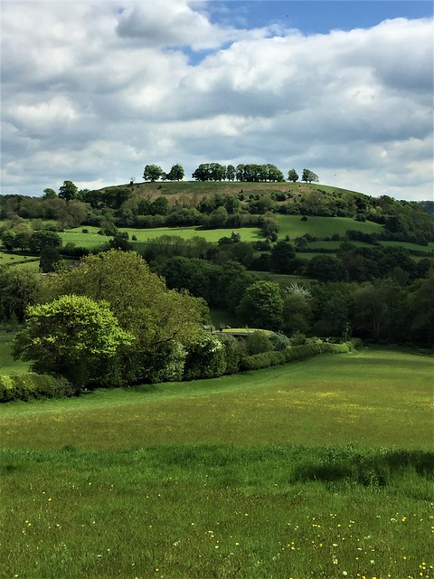
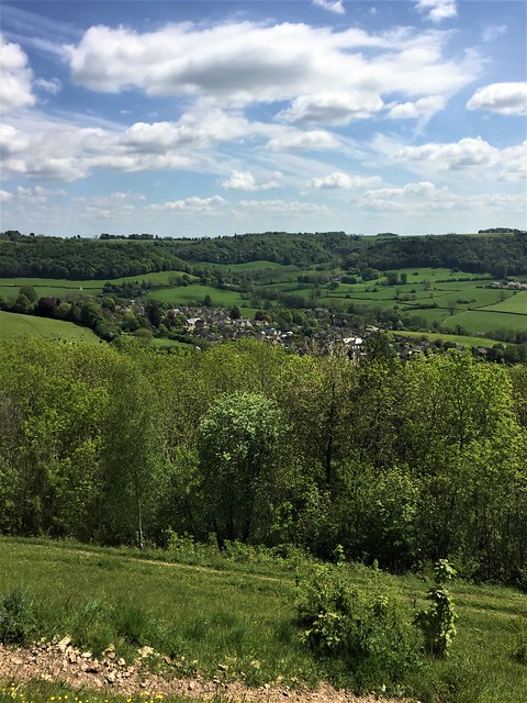
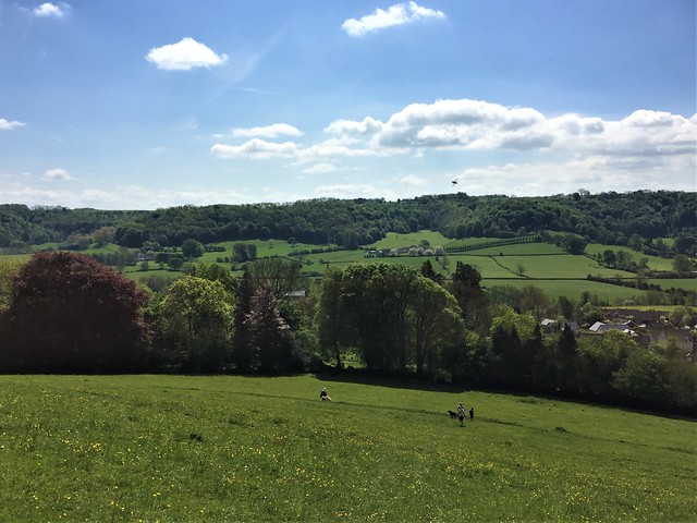
Up there, walking a circuit of the ramparts on a cold, clear afternoon, it was a regal view. We looked down to Uley and Dursley tucked neatly under their wooded slopes, and out west across a patchwork of fields seven hundred feet below to the River Severn sweeping round a mighty bend, with the Forest of Dean, the pointed cone of the Sugar Loaf and the lumpy backs of the Welsh hills rising beyond.
This is what the Dobunni tribe might have been after when they built their great rectangular fort across the hill top some 2,000 years ago – a commanding prospect of the country from an impregnable position, guarded by slopes so steep that no enemy could steal up and rush them by surprise. We strolled and stared, looking west to the whaleback hill of Cam Long Down where we were headed.
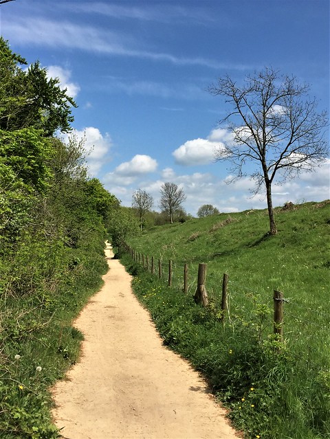
The rubbly yellow track of the Cotswold Way carried us down through beechwoods where the leafless trees gripped the ferny banks with roots like talons, then swept up the grassy nape of Cam Long Down. From the crest of the hill we saw Gloucester some 20 miles to the north in a pool of sunlight, the Cathedral floating high over the city under an enormous tangled sky, a view John Constable would have caught majestically in a blur of blues and greens.
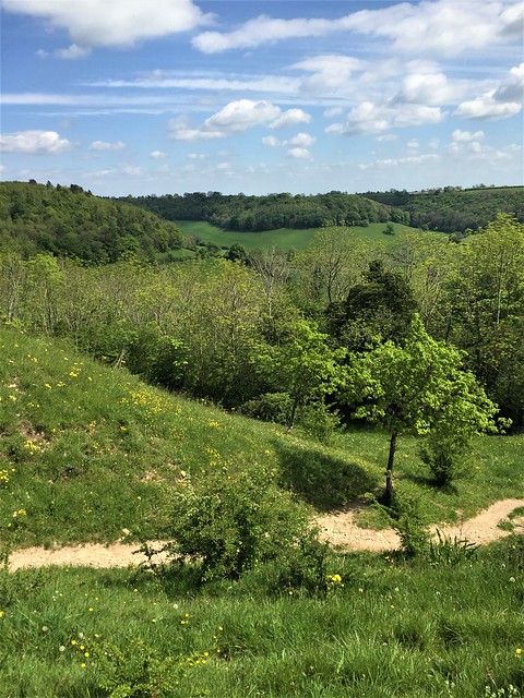
We roller-coasted on over the hummock of Peaked Down, then descended southward with a superb backdrop of three eminences in the landscape – the upturned bowl of Downham Hill, the humpy back of Cam Long Down, and the squared-off ramparts of Uley Bury coming into view.
At Wresden Farm a horse with two white socks grazed a lush meadow from which he lifted a muzzle green with grass juice to watch us go by. The lane that brought us back to Uley ran between thick old hedges, its surface floored with knobbly lumps of metal scattered among the stones, the leavings of some long-gone forge. Polished by the scouring of hooves and boot soles, they made the old track shine silver, like a pathway to an enchanted tower in some untold Cotswold fairy tale.
How hard is it? 5½ miles; moderate, some short steep sections
Start: Old Crown PH, Uley, near Dursley, GU11 5SN (OS ref ST 792986)
Getting there: Bus 65 (Stroud-Dursley)
Road – Uley is on B4066, between Dursley (A4135) and Stroud (A46/A419)
Walk (OS Explorer 167): Cross B4066; path beside church; in 100m, right (‘Cotswold Way Circular Walk’/CWCW) to kissing gate. Up slope, then left along wood edge to gate (789988, CWCW). Up through trees to gate; climb rampart of Uley Bury (788990), left/clockwise round hillfort for 1 mile. At north corner (788992), left to B4066; left onto Cotswold Way/CW. Descend and follow CW for 1¼ miles via Hodgecombe Farm (783992), then over Cam Long Down. On over Peaked Down; back along southern edge to rejoin CW (770992). South on CW for 300m to cross road (771988). On for ¾ mile past Coldharbour Farm (770986) to lane near Wresden Farm (774980). Left (east) via Newbrook Farm for ½ mile. At road by Angeston Grange (782982), ahead; on right bend, ahead on path (785982) to Uley.
Lunch/Accommodation: Old Crown, Uley (01453-860502, theoldcrownuley.co.uk) – great village pub; booking advisable.
Info: Nailsworth TIC (01453-839222)