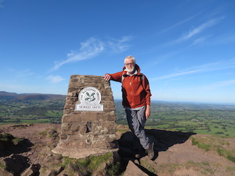
First published in: The Times Click here to view a map for this walk in a new window


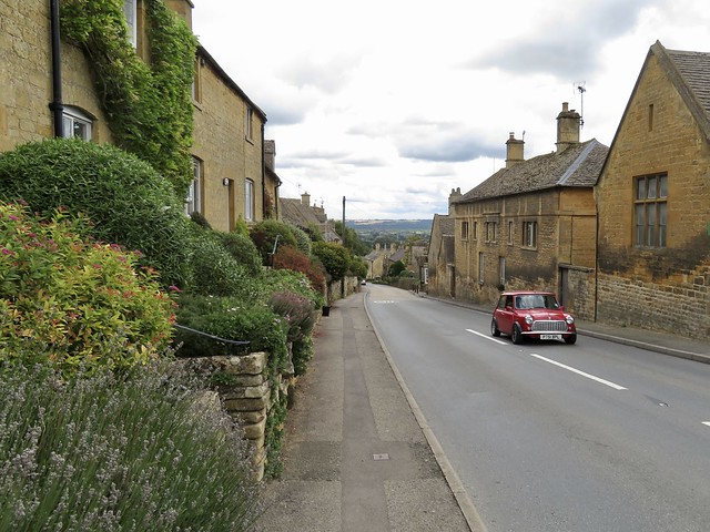
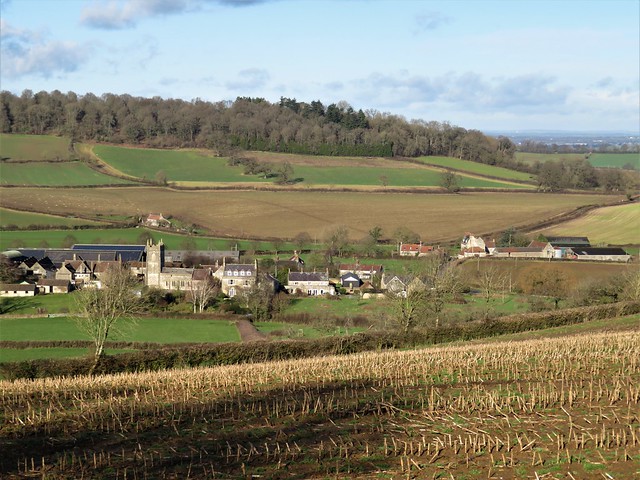
A windy winter’s day in south Gloucestershire, the sun a nacreous ball behind fast-driving clouds. The recent mild weather had encouraged a couple of daffodils to raise their heads along the crooked lanes at Hillesley, a village tucked down in a fold of the Cotswold escarpment. Hillesley’s Fleece Inn is owned and run by the community, an excellent initiative that has kept the place alive.
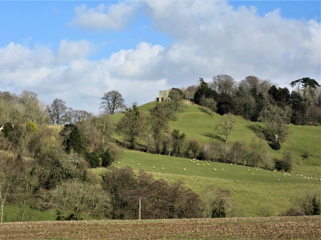
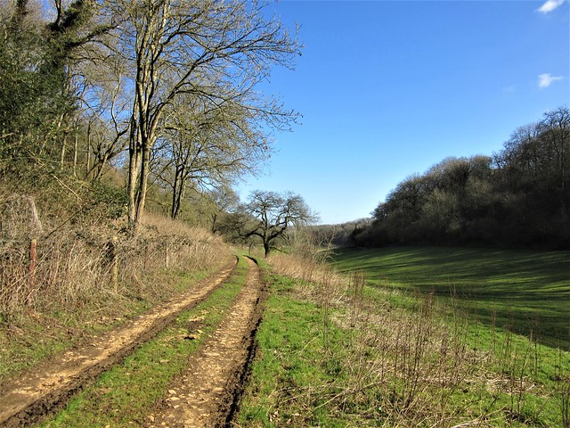
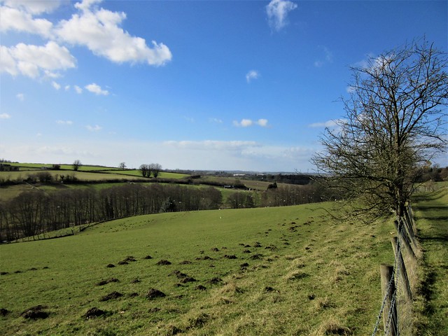
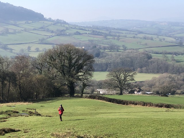
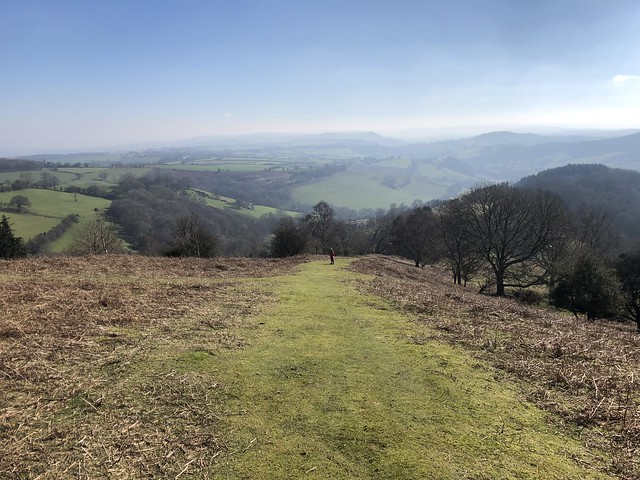
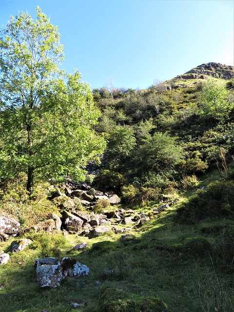
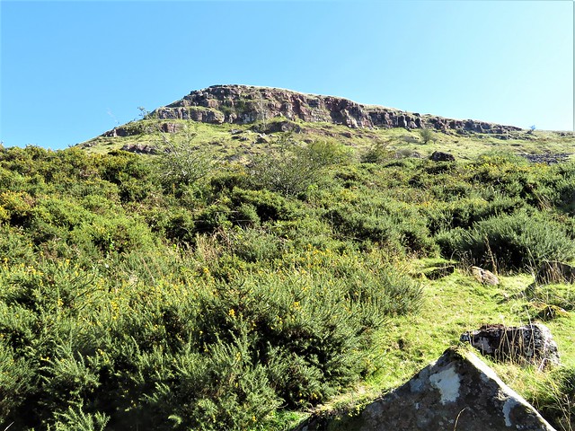
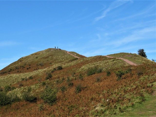
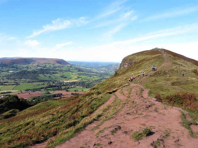
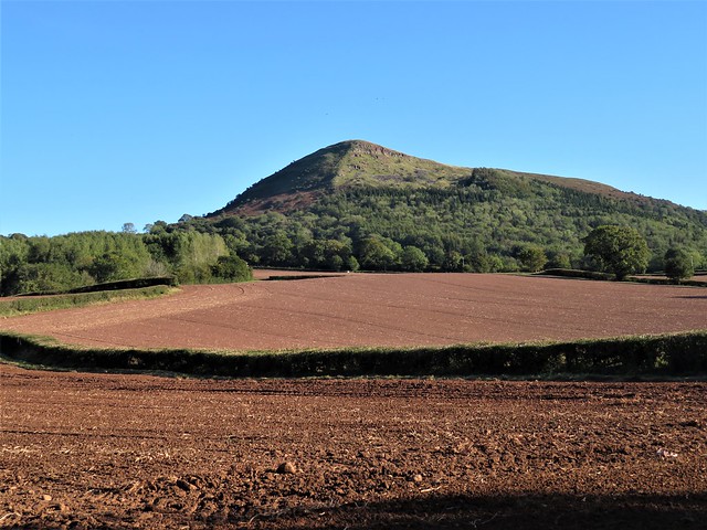
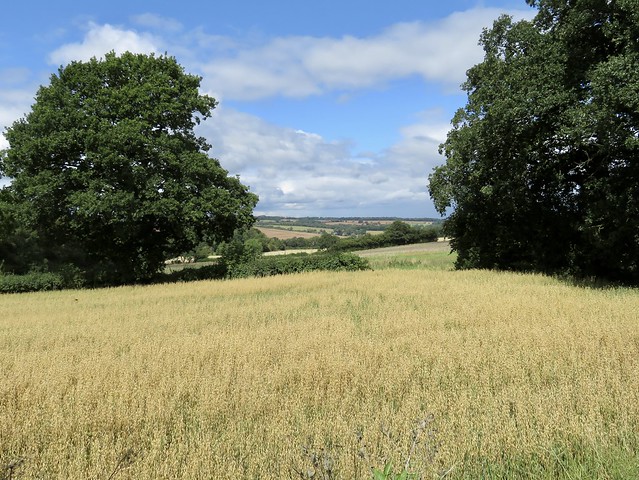
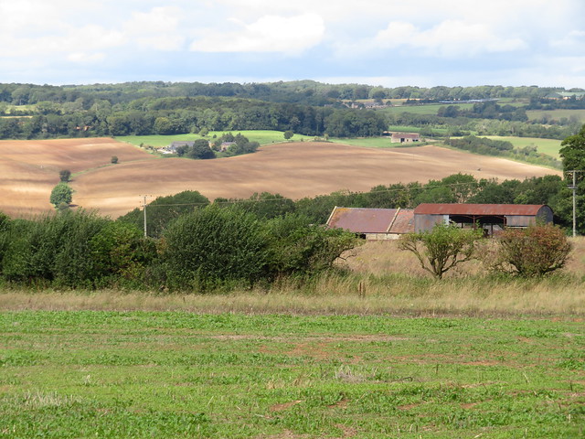
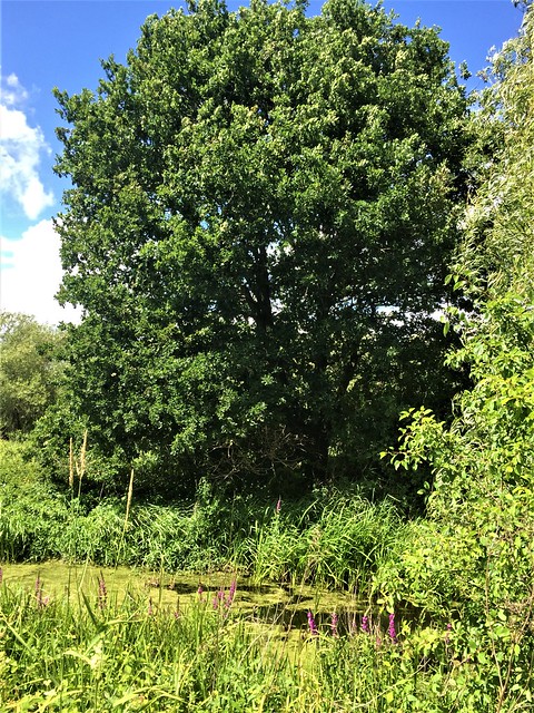
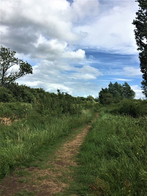
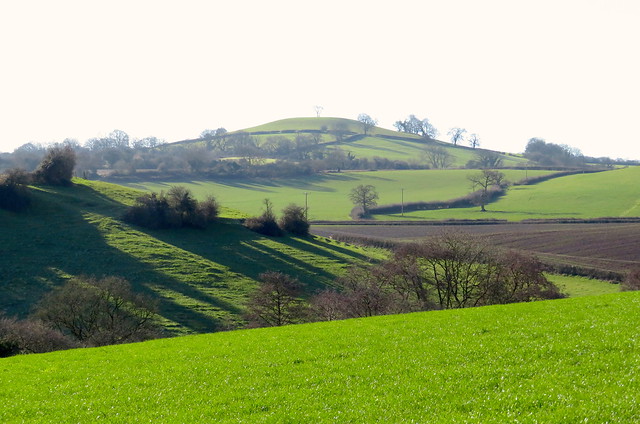
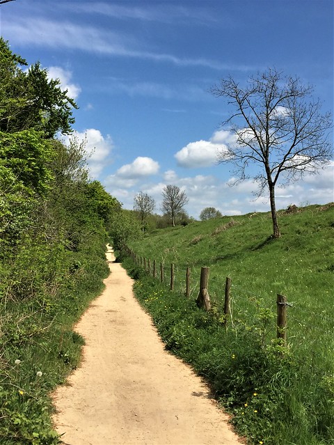
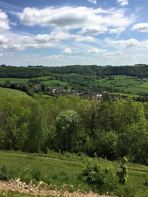
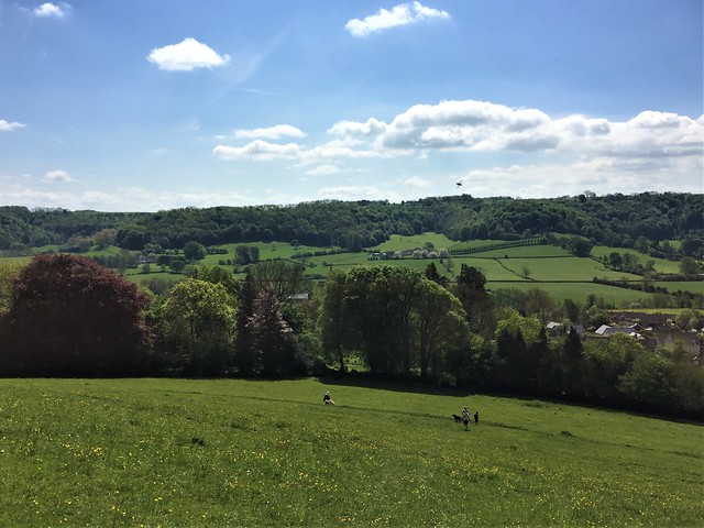
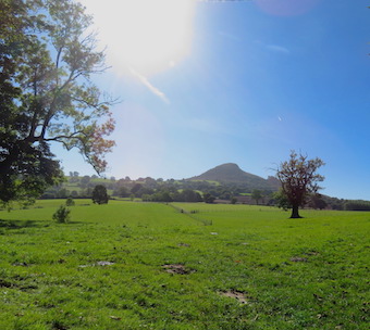
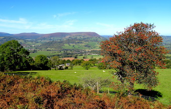
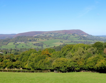
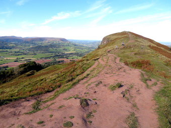
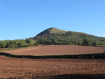
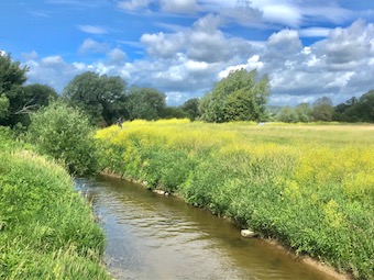
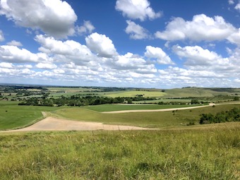
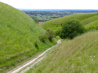
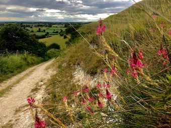
As we climbed the squelching muddy path through the trees behind the village, I spotted a solitary celandine among the hart’s-tongue ferns. At the top the prospect opened out into a landscape typical of these southern Cotswolds, an undulating upland with snaking valleys invisible from on high. On the ridge ahead rose a tall column with an elaborate cap, built in 1846 in honour of Lord Robert Somerset, one of Wellington’s bravest Peninsula War officers.
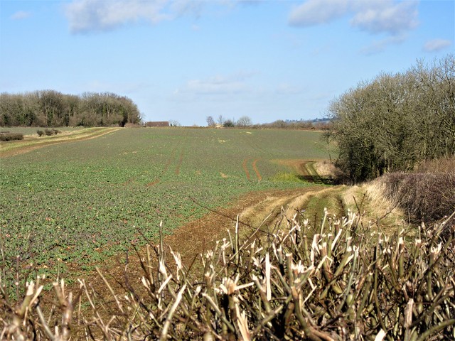
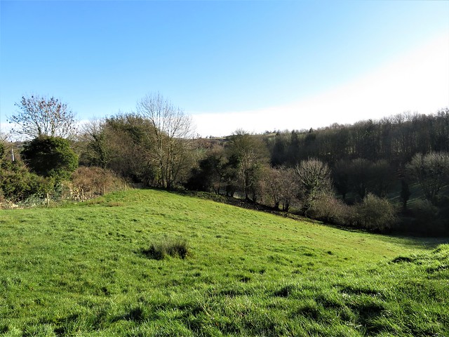
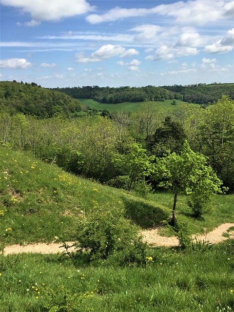
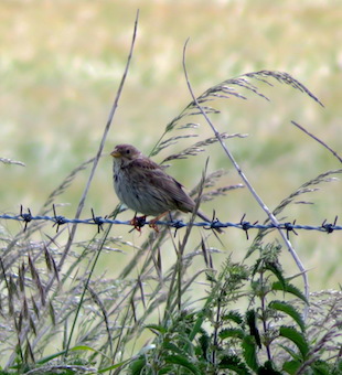
A crowd of tiny animated birds rushed past with a swish of wings – goldfinches, feebly twittering, forming a little cloud that balled and elongated like a miniature murmuration of starlings. We left them to their winter manoeuvres and turned aside down the roadless declivity of Long Coombe, where rosettes of primrose leaves were showing in the shelter of hedge roots.
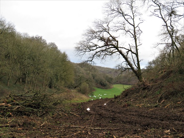
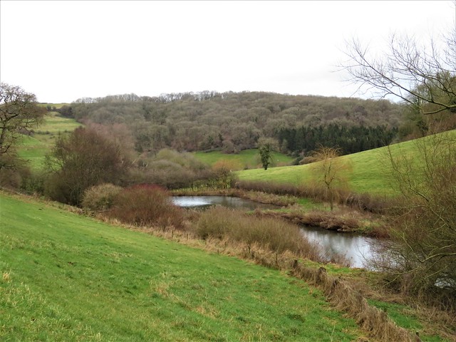
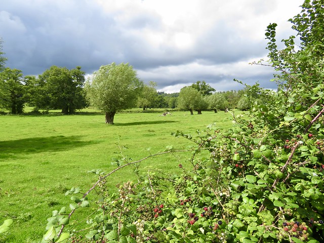
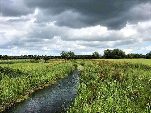
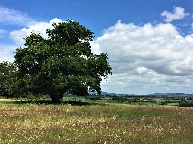
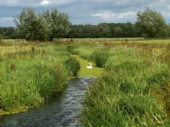
Spring pools shivered in the wind on the grassy slopes. Down in the steep-sided valley at the bottom, green lamb’s-tail catkins bobbed along the neatly laid hedges around Lower Kilcott. A pair of buzzards swung out of a spinney, the pale ‘headlights’ on their wings lit by the sun. Above them, a pair of parallel con trails drew themselves lazily and soundlessly across a patch of blue in a sky rapidly darkening from the southwest.
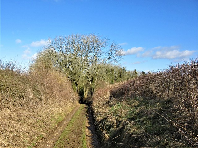
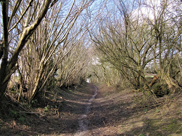
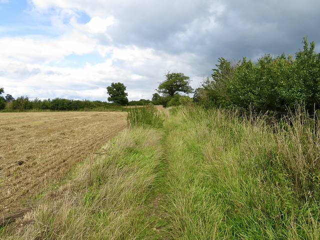
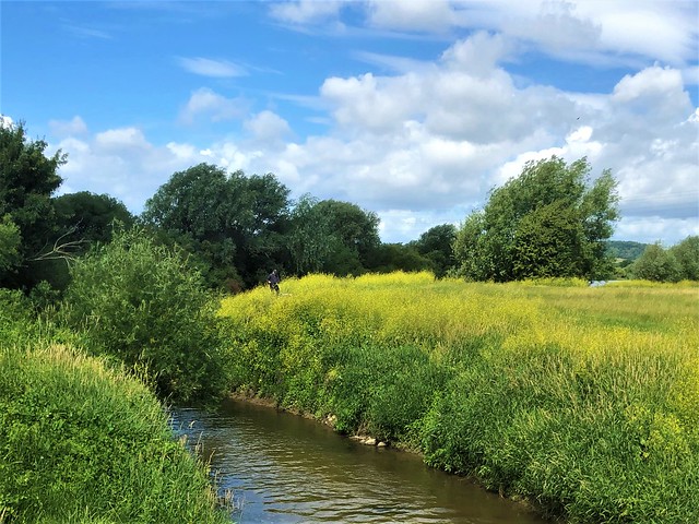
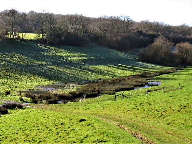
At Kilcott Mill we joined the Cotswold Way, a mud-bath that took us slithering up the valley. Under a coppiced hazel a squirrel had dug out the last of its nut hoard (or someone else’s), and nipped the crowns off each one to get at the kernel, leaving a scatter of empty shells like miniature scalped skulls on the bank.
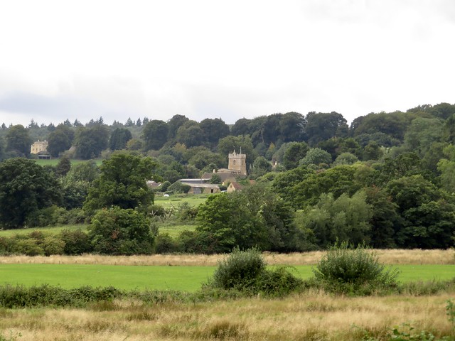
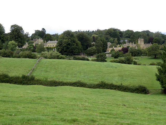
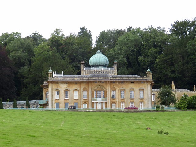
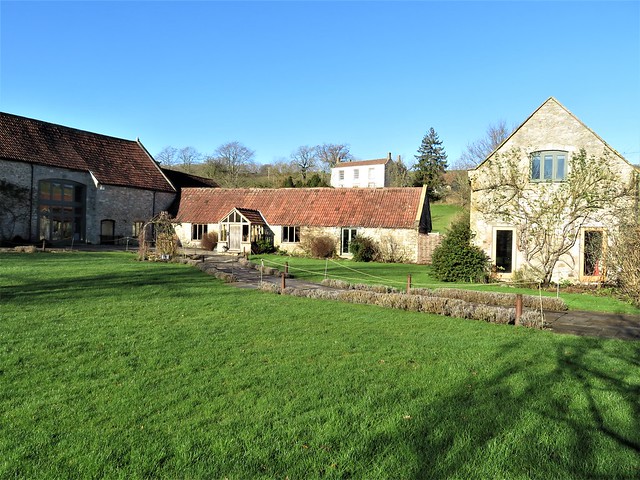
Beyond Alderley in a spit of rain we turned along the homeward path to Hillesley, passing the magnificent Cotswold stone mansion of Rose Hill with its ranks of windows and stalk-like chimneys. A tractor grunted up the nearby lane, carrying a bale of hay on its praying mantis arms for the sheep whose rain-pearled fleeces were suddenly silvered by a low ray of sun escaping from the clouds.
How hard is it? 6½ miles; easy but muddy; field and woodland paths, country lanes.
Start: Fleece Inn, Chapel Lane, Hillesley GL12 7RD (OS ref ST 770896)
Getting there: Bus 84 (Yate–Wotton-under-Edge).
Road – Hawkesbury Upton is signed from A46 Bath-Nailsworth road; Hillesley is signed from Hawkesbury Upton.
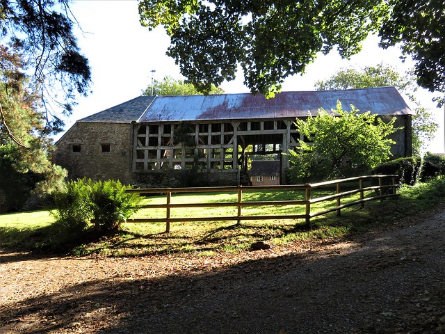
Walk (OS Explorer 167): From pub, left; at bend, ahead up footpath via Mear’s Plantation. At top, right to Splatt’s Barn (770888); south along drive for ½ mile. At road, left (771880); fork left on Monarch’s Way for 1¼ miles via Long Coombe to road at Lower Kilcott (786892). Left; in ½ mile pass Kilcott Mill; in 150m, right off road (779897). In 200m, left on Cotswold Way for nearly 1 mile to road at Alderley (770910). Right (‘Tresham’); in 150m cross road (771909); follow Cotswold Way for ⅔ mile to road by Elmtree Farm (768916). Left; in 200m cross road (766916). Follow marked detour past Lacys; in field beyond, left (764916) on path south (passing east of Park Farm, west of Rose Hill school) for 1¼ miles to Hillesley.
Lunch: Fleece Inn, Hillesley (01453-520003; thefleeceinnhillesley.com)
Accommodation: Swan Hotel, Wotton-under-Edge GL12 7AE (01453-843004, swanhotelwotton.com
Info: nationaltrail.co.uk/cotswold-way


;)
;)
;)
;)
;)